Elevation map of Rungwe, Tanzania
Location: Tanzania > Mbeya Region >
Longitude: 33.5280072
Latitude: -9.1116675
Elevation: 1580m / 5184feet
Barometric Pressure: 84KPa
Elevation Map:
Satellite Map:
Related Photos:

Avacado/Macademia/Coffee Estate in Mbeya
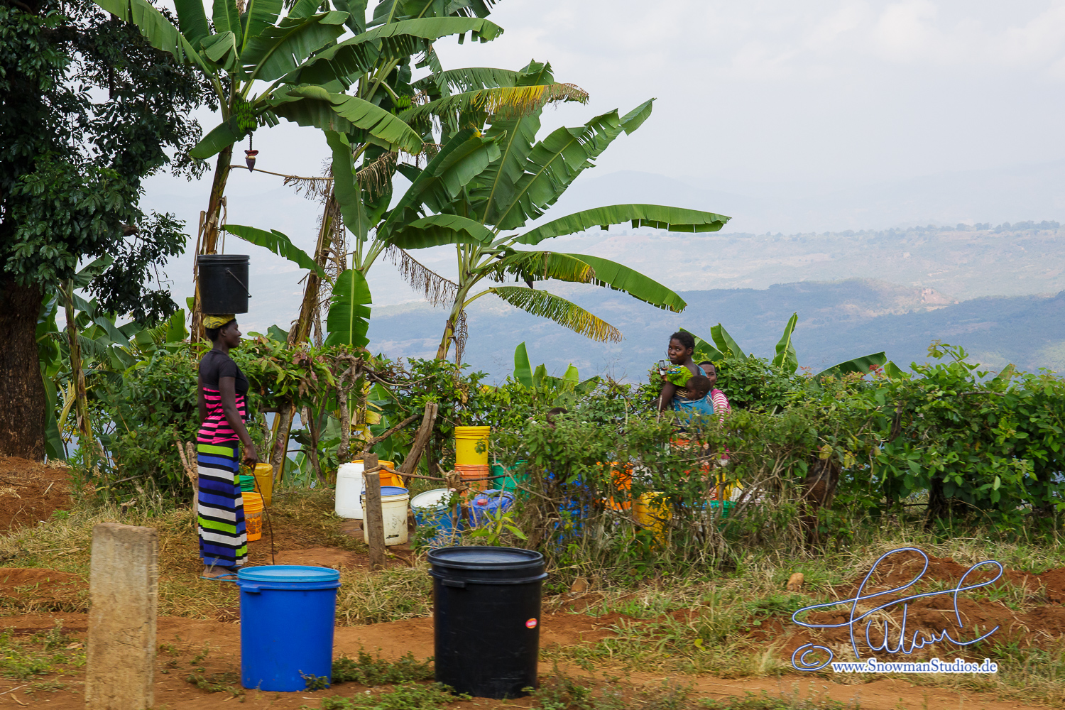
banana plantations
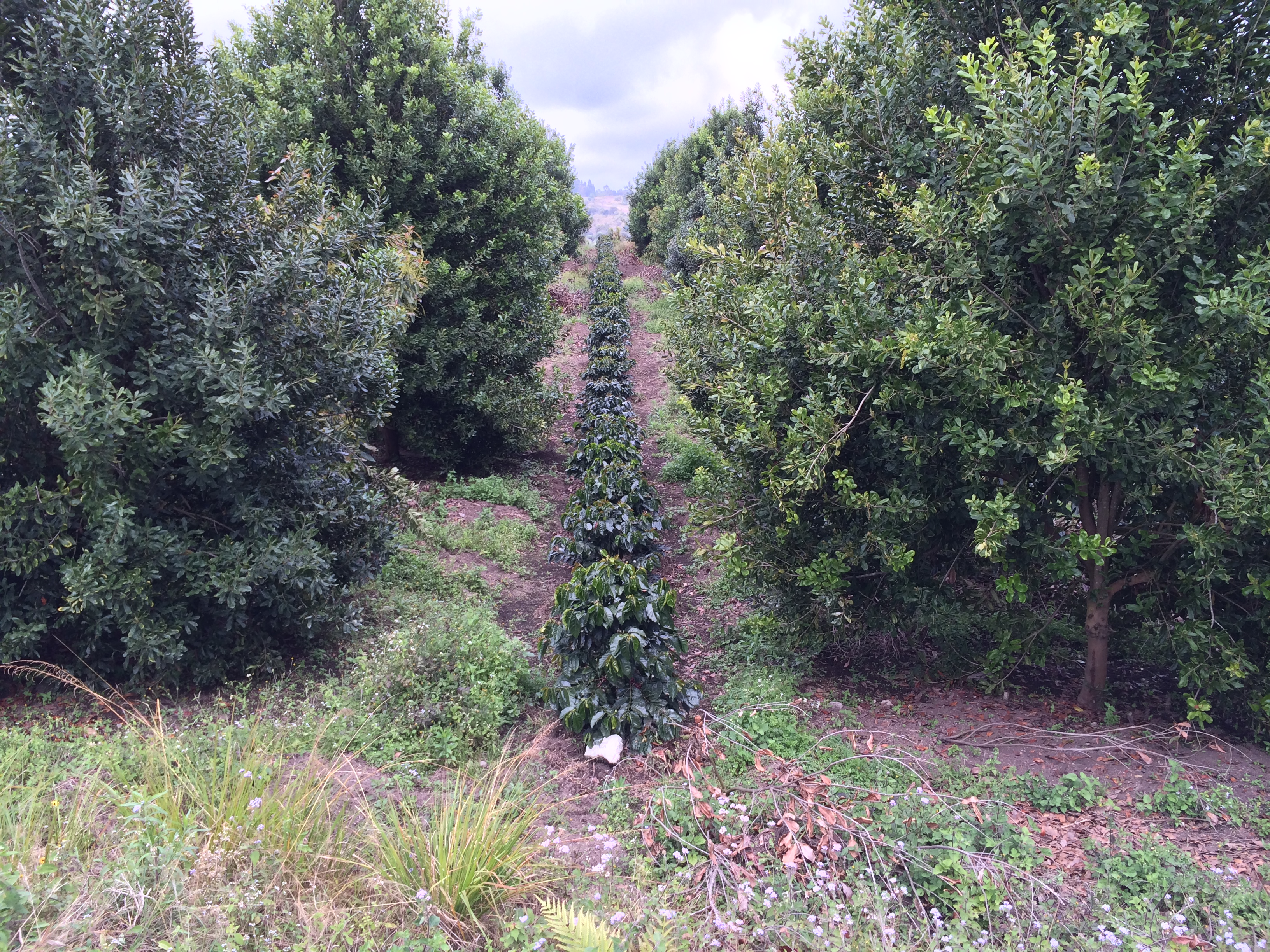
Coffee intercropped with Macademia - Mbeya
Topographic Map of Rungwe, Tanzania
Find elevation by address:

Places in Rungwe, Tanzania:
Places near Rungwe, Tanzania:
Mount Rungwe
B345
Njipanda
Santilya
Mbeya Rural
Igoma
Mbeya
Utengule
Ileje
Masoko
Ileje
Songwe River
Chunya
Vwawa
Ipogoro
Songwe Region
Recent Searches:
- Elevation of Corso Fratelli Cairoli, 35, Macerata MC, Italy
- Elevation of Tallevast Rd, Sarasota, FL, USA
- Elevation of 4th St E, Sonoma, CA, USA
- Elevation of Black Hollow Rd, Pennsdale, PA, USA
- Elevation of Oakland Ave, Williamsport, PA, USA
- Elevation of Pedrógão Grande, Portugal
- Elevation of Klee Dr, Martinsburg, WV, USA
- Elevation of Via Roma, Pieranica CR, Italy
- Elevation of Tavkvetili Mountain, Georgia
- Elevation of Hartfords Bluff Cir, Mt Pleasant, SC, USA