Elevation map of Mbeya Region, Tanzania
Location: Tanzania >
Longitude: 33.438353
Latitude: -7.9875482
Elevation: 1360m / 4462feet
Barometric Pressure: 86KPa
Elevation Map:
Satellite Map:
Related Photos:

Mbeya airstrip

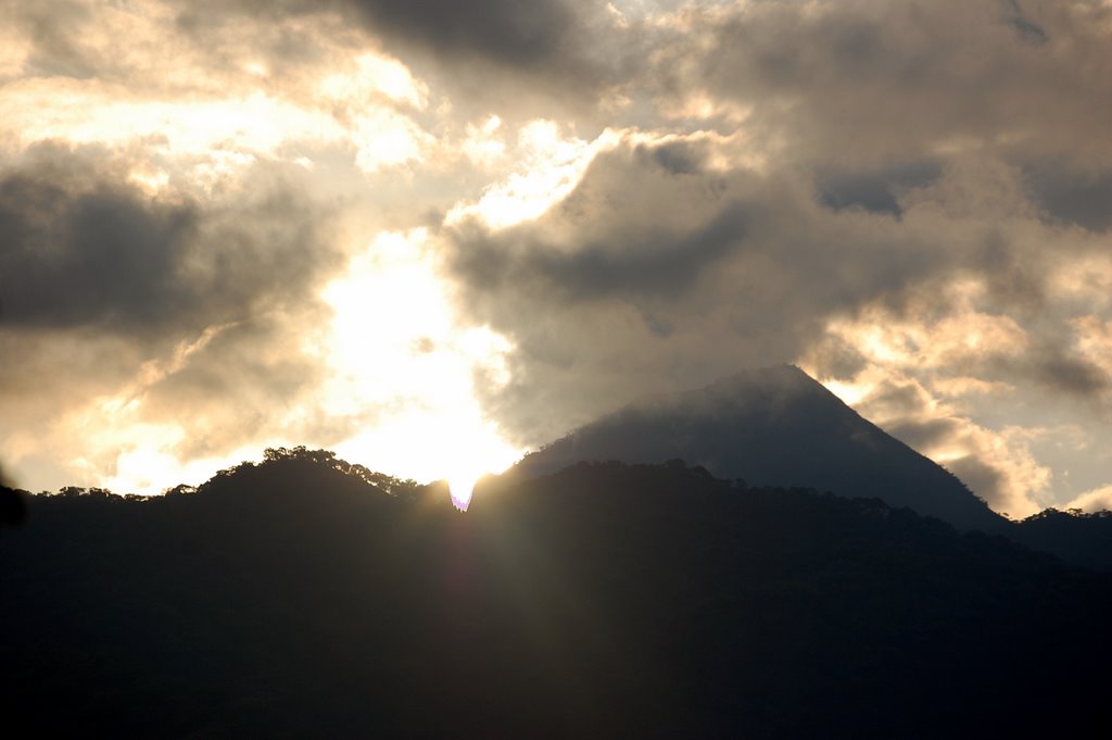
Few years back, we took a bus trip w/ my classmates from Iringa heading Mbeya region. We came across this high density tree area a for few kilometres. It was my first time that way, some people in a bus said it's scary but i enjoyed the view. #trees #msit
Livingstone Mountains

Kapenta airstrip

Msangaji airstrip
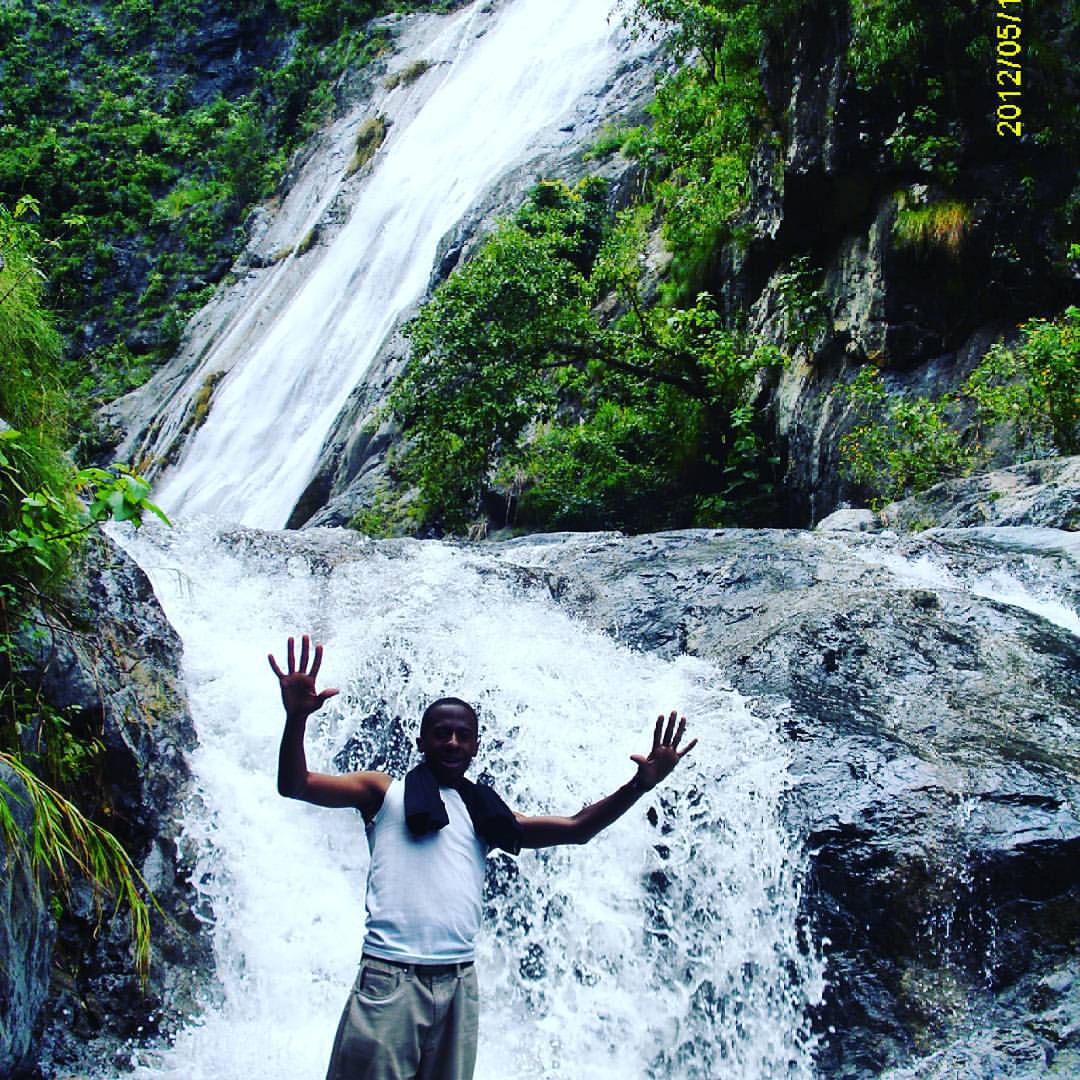
Ikombe/Luililo waterfalls|| located in Southern Higherland of Tanzania|| at Mbeya region in Matema Village|| #Ikombewaterfalls #Luililowaterfalls
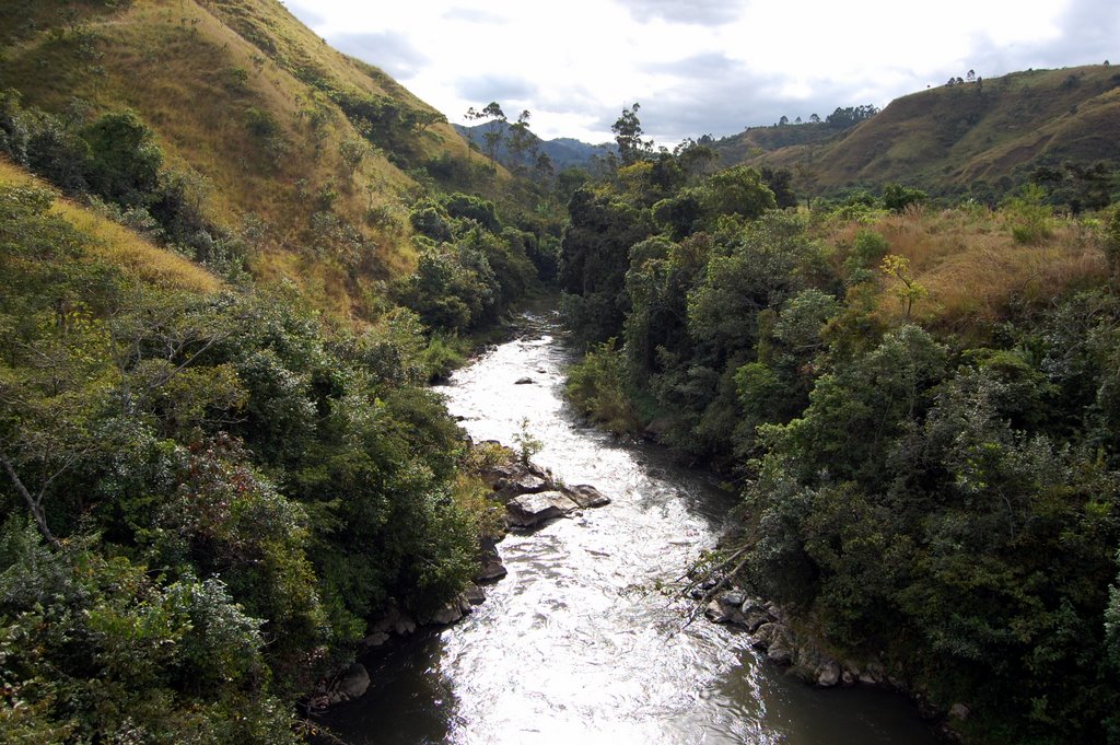
Kiwira River
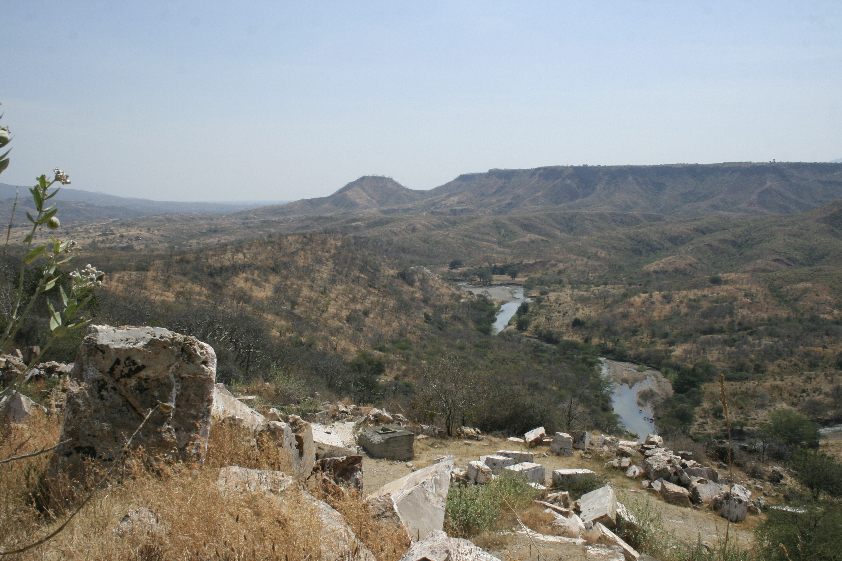
Songwe River Valley | Mbeya Region | Tanzania
Topographic Map of Mbeya Region, Tanzania
Find elevation by address:

Places in Mbeya Region, Tanzania:
Places near Mbeya Region, Tanzania:
Recent Searches:
- Elevation of Corso Fratelli Cairoli, 35, Macerata MC, Italy
- Elevation of Tallevast Rd, Sarasota, FL, USA
- Elevation of 4th St E, Sonoma, CA, USA
- Elevation of Black Hollow Rd, Pennsdale, PA, USA
- Elevation of Oakland Ave, Williamsport, PA, USA
- Elevation of Pedrógão Grande, Portugal
- Elevation of Klee Dr, Martinsburg, WV, USA
- Elevation of Via Roma, Pieranica CR, Italy
- Elevation of Tavkvetili Mountain, Georgia
- Elevation of Hartfords Bluff Cir, Mt Pleasant, SC, USA