Elevation of Rue Saint Jean Baptiste, Kedgwick, NB E8B, Canada
Location: Canada > New Brunswick > Restigouche County > Kedgwick >
Longitude: -67.354525
Latitude: 47.646354
Elevation: 268m / 879feet
Barometric Pressure: 98KPa
Elevation Map:
Satellite Map:
Related Photos:

Still Water Falls

Curved Dock

Highway 17 north of Saint-Quentin, New Brunswick
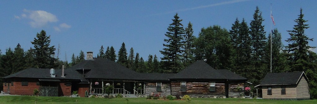
Kedgwick Lodge
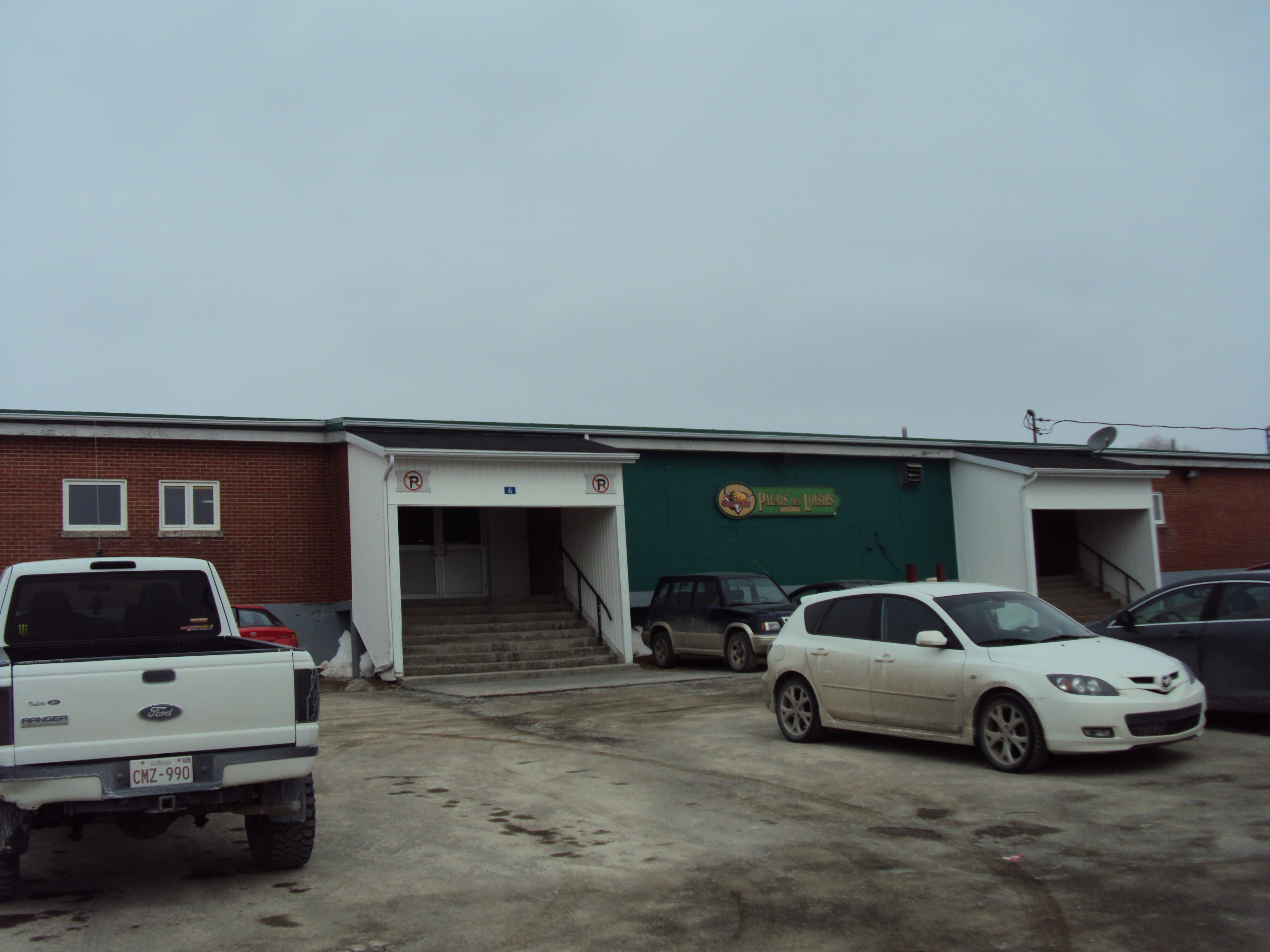
Palais des Loisirs Kedgwick (Exterior)
Topographic Map of Rue Saint Jean Baptiste, Kedgwick, NB E8B, Canada
Find elevation by address:

Places near Rue Saint Jean Baptiste, Kedgwick, NB E8B, Canada:
Kedgwick
New Brunswick 260
76 Chemin Quatre Milles, Kedgwick River, NB E8B 1V1, Canada
Grimmer
Kedgwick River
2 Rue Arpin, Kedgwick River, NB E8B 1R9, Canada
Saint-quentin
245 Chemin Monseigneur Martin O
E8b 1y5
Eldon
Upsalquitch River Rd, Upsalquitch, NB E3N 6L8, Canada
Denmark
Mount Carleton
Addington
Serpentine Lodge
Restigouche County
E7g 2r9
Crombie Settlement
NB-, Gordon, NB E7G, Canada
Victoria County
Recent Searches:
- Elevation of Corso Fratelli Cairoli, 35, Macerata MC, Italy
- Elevation of Tallevast Rd, Sarasota, FL, USA
- Elevation of 4th St E, Sonoma, CA, USA
- Elevation of Black Hollow Rd, Pennsdale, PA, USA
- Elevation of Oakland Ave, Williamsport, PA, USA
- Elevation of Pedrógão Grande, Portugal
- Elevation of Klee Dr, Martinsburg, WV, USA
- Elevation of Via Roma, Pieranica CR, Italy
- Elevation of Tavkvetili Mountain, Georgia
- Elevation of Hartfords Bluff Cir, Mt Pleasant, SC, USA