Elevation of Denmark, NB, Canada
Location: Canada > New Brunswick > Victoria County >
Longitude: -67.458238
Latitude: 47.1240934
Elevation: 244m / 801feet
Barometric Pressure: 98KPa
Elevation Map:
Satellite Map:
Related Photos:

Sunflower Sky
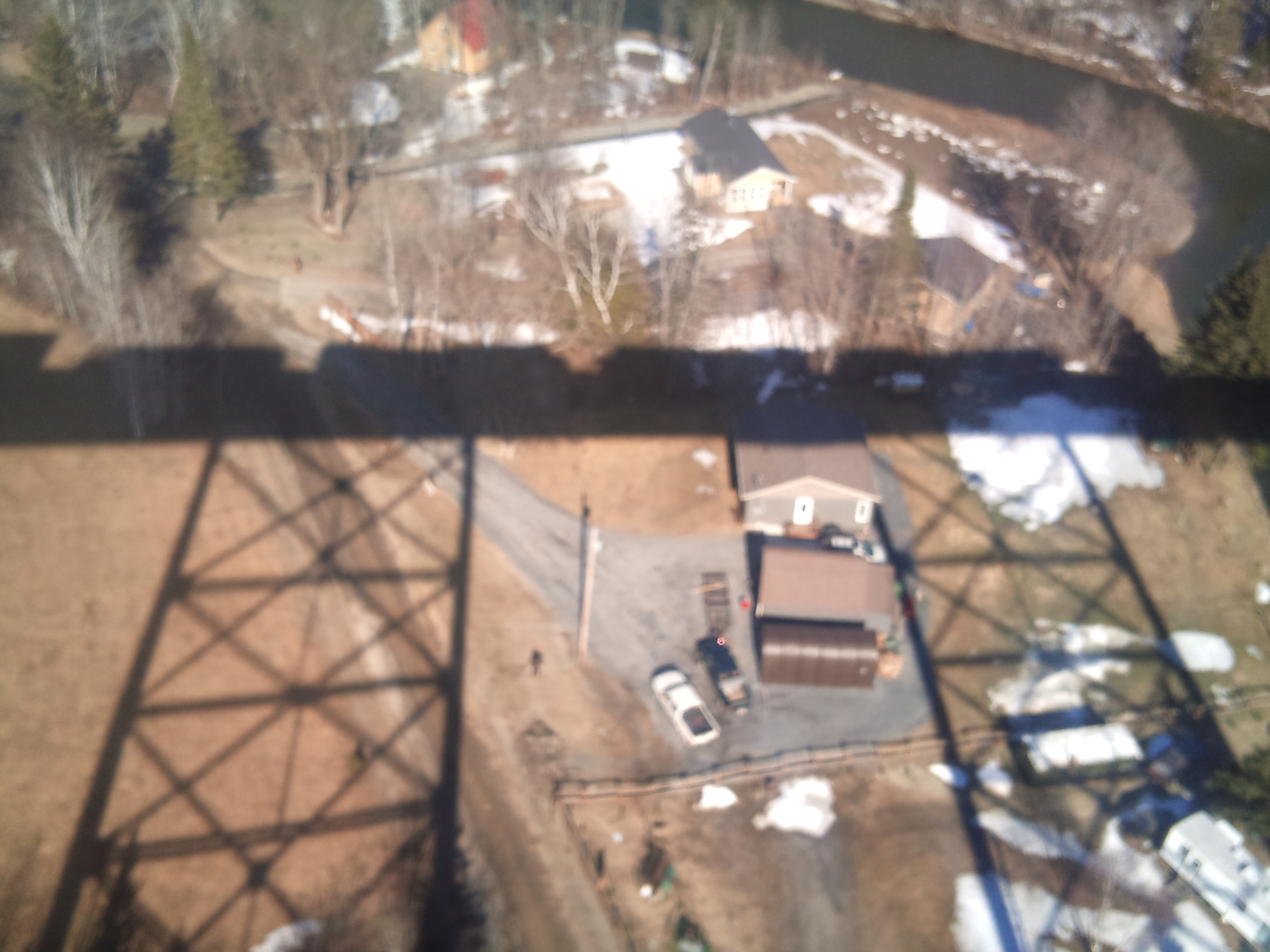
Riding high on the trestle in New Brunswick
Topographic Map of Denmark, NB, Canada
Find elevation by address:

Places in Denmark, NB, Canada:
Places near Denmark, NB, Canada:
E7g 2r9
Crombie Settlement
NB-, Gordon, NB E7G, Canada
Victoria County
Sisson Ridge
Sisson Ridge Rd, Sisson Ridge, NB E7G 3X7, Canada
29 Anfield Rd, Anfield, NB E7G 1B1, Canada
Plaster Rock
Wapske
6 Longley Rd, Wapske, NB E7G 2A8, Canada
Anderson Road
2137 Nb-109
Arthurette
245 Chemin Monseigneur Martin O
Saint-quentin
Gordon
New Brunswick 260
Kedgwick
Rue Saint Jean Baptiste
Kedgwick River
Recent Searches:
- Elevation of Corso Fratelli Cairoli, 35, Macerata MC, Italy
- Elevation of Tallevast Rd, Sarasota, FL, USA
- Elevation of 4th St E, Sonoma, CA, USA
- Elevation of Black Hollow Rd, Pennsdale, PA, USA
- Elevation of Oakland Ave, Williamsport, PA, USA
- Elevation of Pedrógão Grande, Portugal
- Elevation of Klee Dr, Martinsburg, WV, USA
- Elevation of Via Roma, Pieranica CR, Italy
- Elevation of Tavkvetili Mountain, Georgia
- Elevation of Hartfords Bluff Cir, Mt Pleasant, SC, USA