Elevation of Rue De Levert, Raceland, LA, USA
Location: United States > Louisiana > Lafourche Parish > >
Longitude: -90.544434
Latitude: 29.6587766
Elevation: 2m / 7feet
Barometric Pressure: 101KPa
Elevation Map:
Satellite Map:
Related Photos:
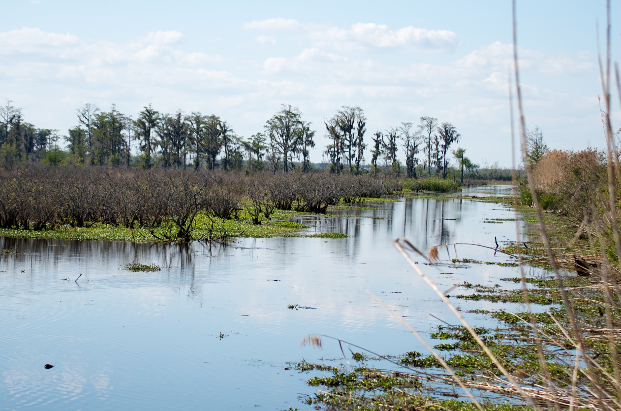
Line of cypress
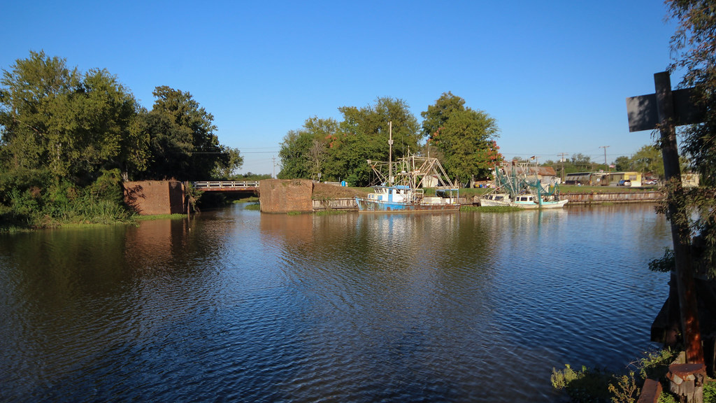
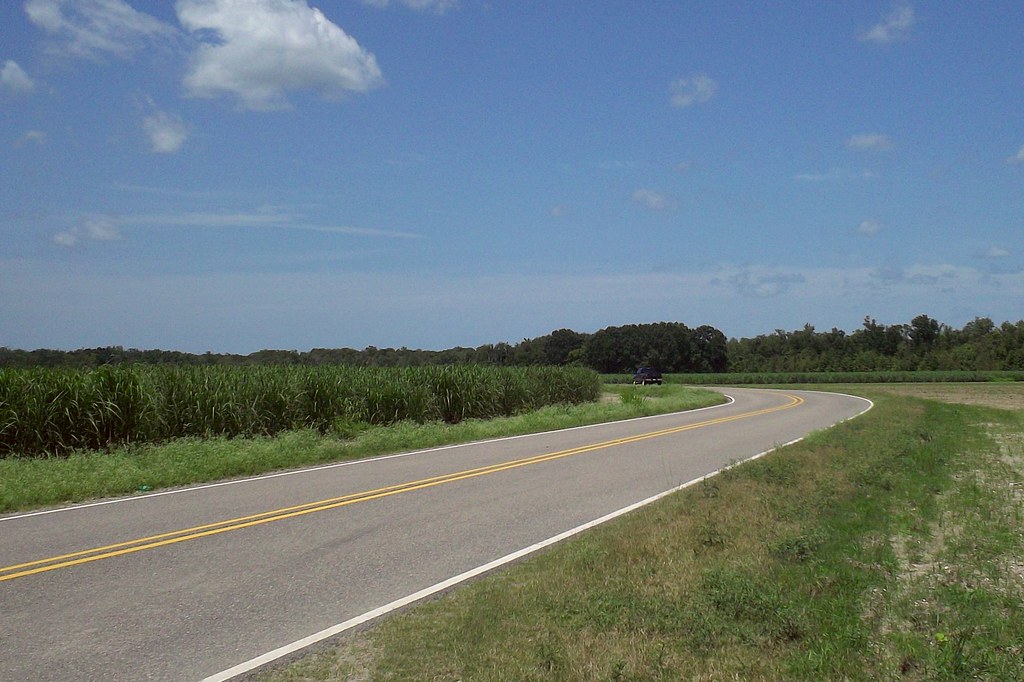
Lockport, Louisiana
Lockport, Louisiana

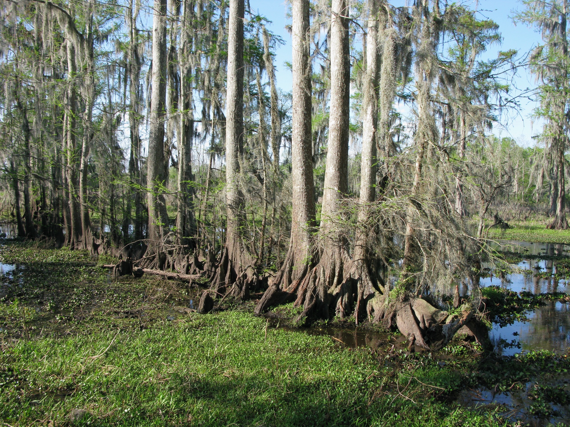
Cypress knees
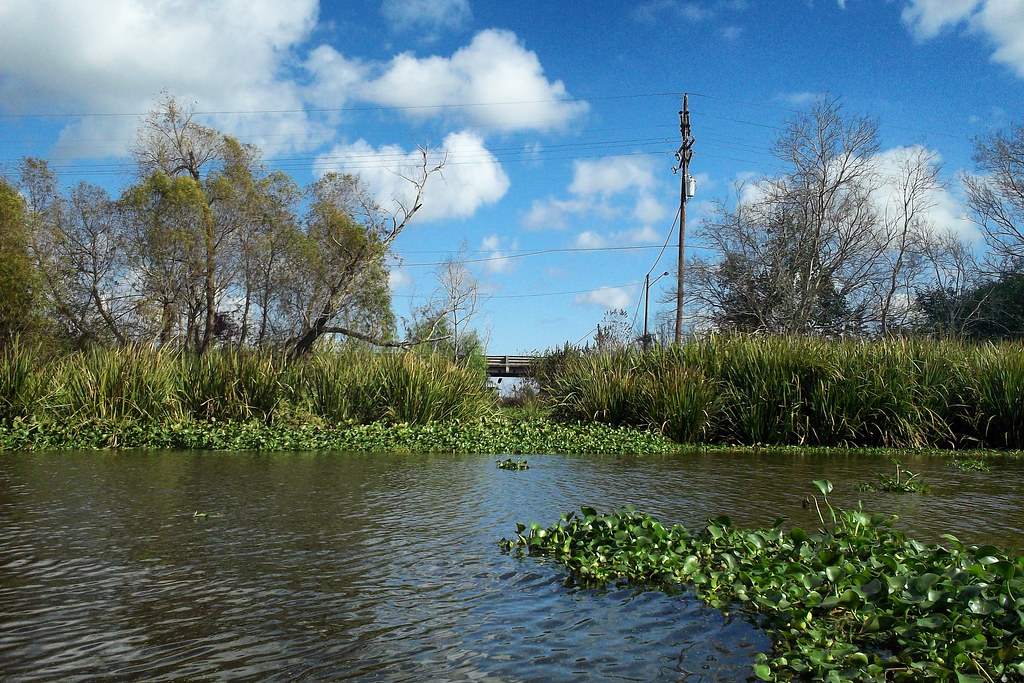
Fresh water marsh
Louisiana Summer
Lockport, Louisiana
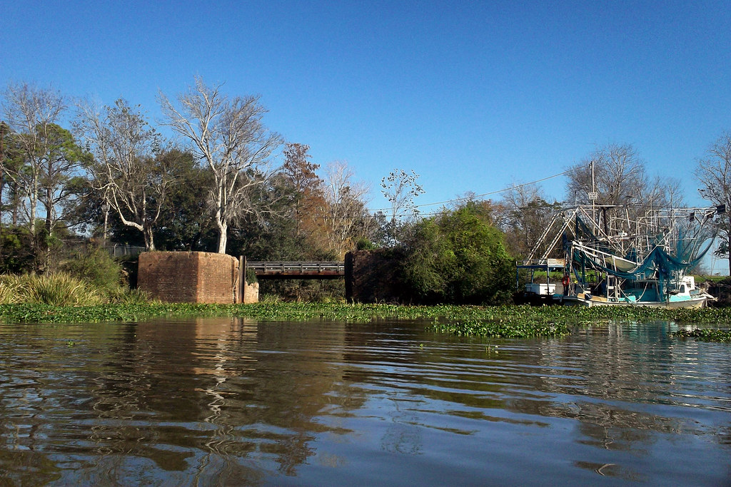
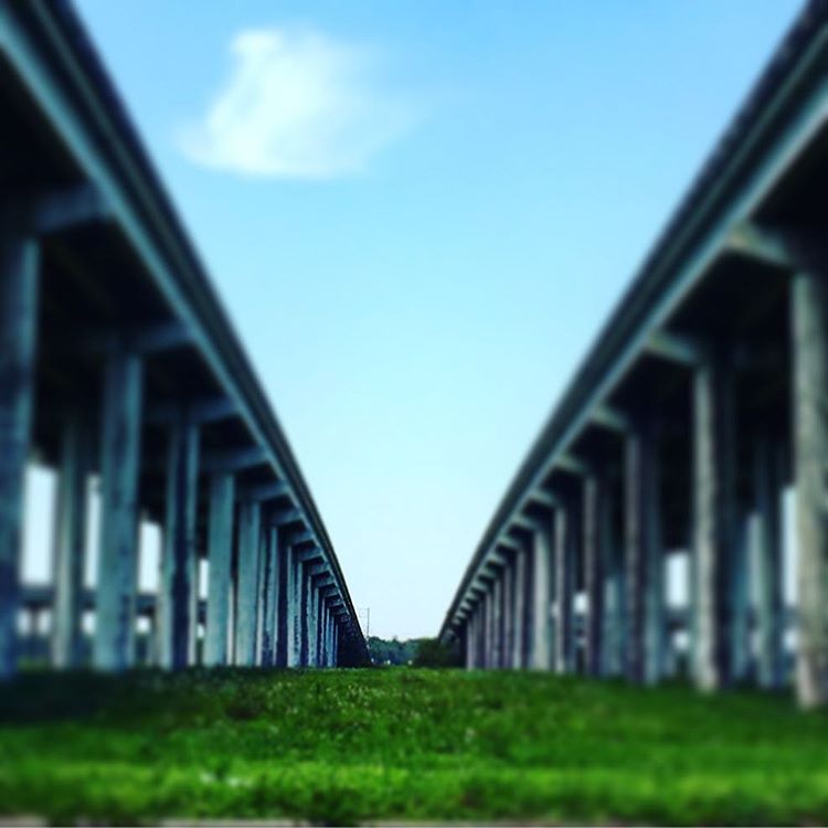
Valentine Bridge (Lafourche Parish, Louisiana)
Giants of the Southeast

Gideon.... Longhorn
When you can clearly see the end of the bridge; don't hesitate! Follow the path. When you acknowledge God he will make straight and clear your path. Therefore look to clear vision; for it brings hope and direction; not the vision that is blurry for it is

WP_20160116_002.jpg

WP_20160108_021.jpg
WP_20160108_019.jpg
WP_20160108_014.jpg
WP_20160108_012.jpg
WP_20160108_011.jpg

WP_20160108_007.jpg

WP_20160108_006.jpg

WP_20160108_005.jpg
Topographic Map of Rue De Levert, Raceland, LA, USA
Find elevation by address:

Places near Rue De Levert, Raceland, LA, USA:
150 Lake View Dr
150 Lake View Dr
150 Lake View Dr
165 City Pl Dr
233 Peytral Dr
204 Leona Dr
Lockport
Barker Rd, Lockport, LA, USA
807 Lafourche St
709 Catherine St
4 Elliott Dr
1100 Catherine St
1108 Catherine St
Saint Joseph Street
274 St Joseph St
325 Central Lafourche Dr
Mathews
7136 13th St
1 Central Lafourche Dr
602 Hyland Dr
Recent Searches:
- Elevation of Corso Fratelli Cairoli, 35, Macerata MC, Italy
- Elevation of Tallevast Rd, Sarasota, FL, USA
- Elevation of 4th St E, Sonoma, CA, USA
- Elevation of Black Hollow Rd, Pennsdale, PA, USA
- Elevation of Oakland Ave, Williamsport, PA, USA
- Elevation of Pedrógão Grande, Portugal
- Elevation of Klee Dr, Martinsburg, WV, USA
- Elevation of Via Roma, Pieranica CR, Italy
- Elevation of Tavkvetili Mountain, Georgia
- Elevation of Hartfords Bluff Cir, Mt Pleasant, SC, USA