Elevation of Mathews, LA, USA
Location: United States > Louisiana > Lafourche Parish > >
Longitude: -90.546752
Latitude: 29.6863233
Elevation: 3m / 10feet
Barometric Pressure: 101KPa
Elevation Map:
Satellite Map:
Related Photos:
Lockport, Louisiana

Mossy trees

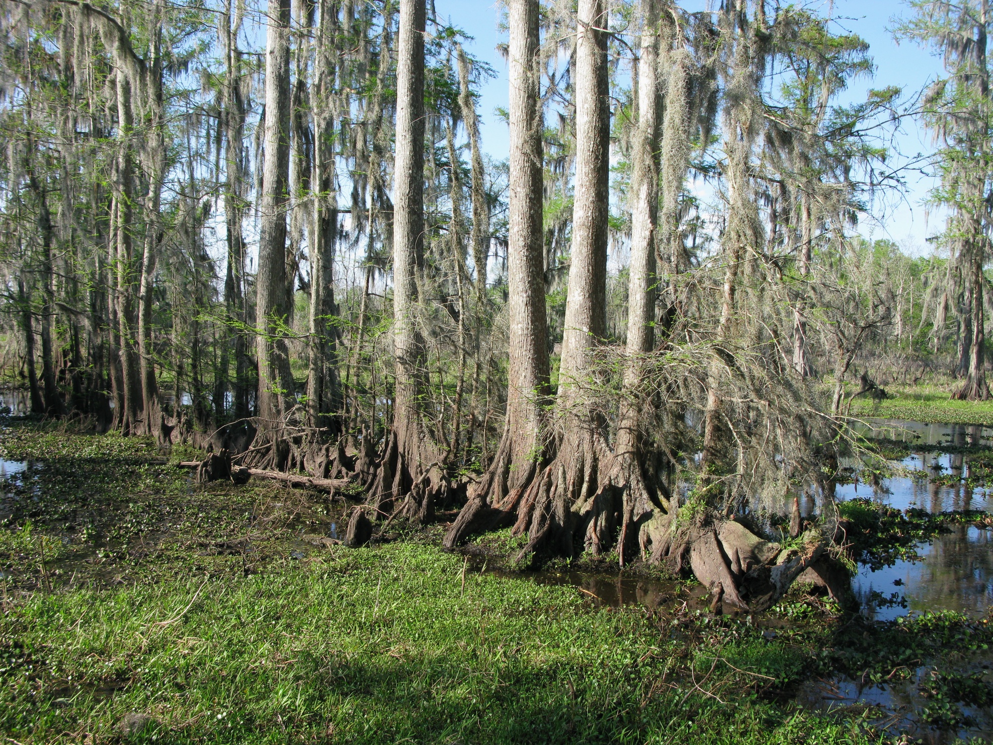
Cypress knees
Louisiana Summer
Line of cypress
Airboat'n it today in da swamps!

Smoke Signals

Someone lost their boat.
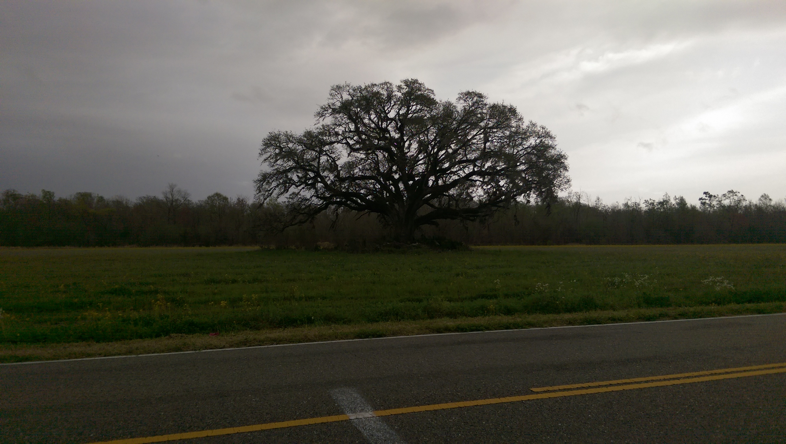
Giants of the Southeast
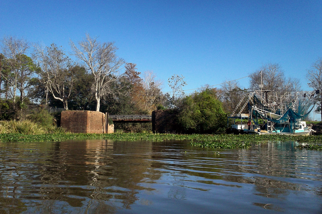
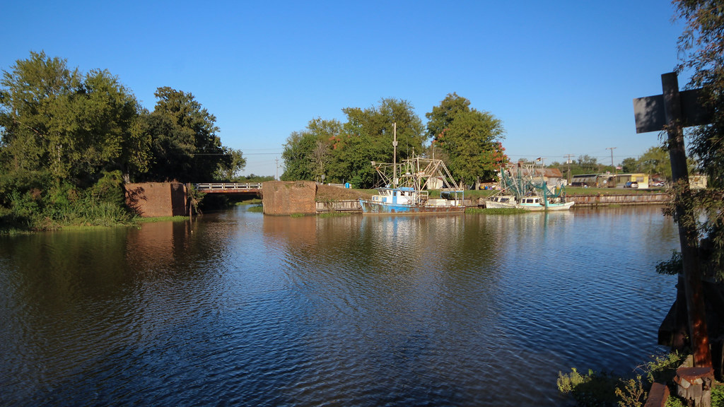
Lockport, Louisiana
Lockport, Louisiana
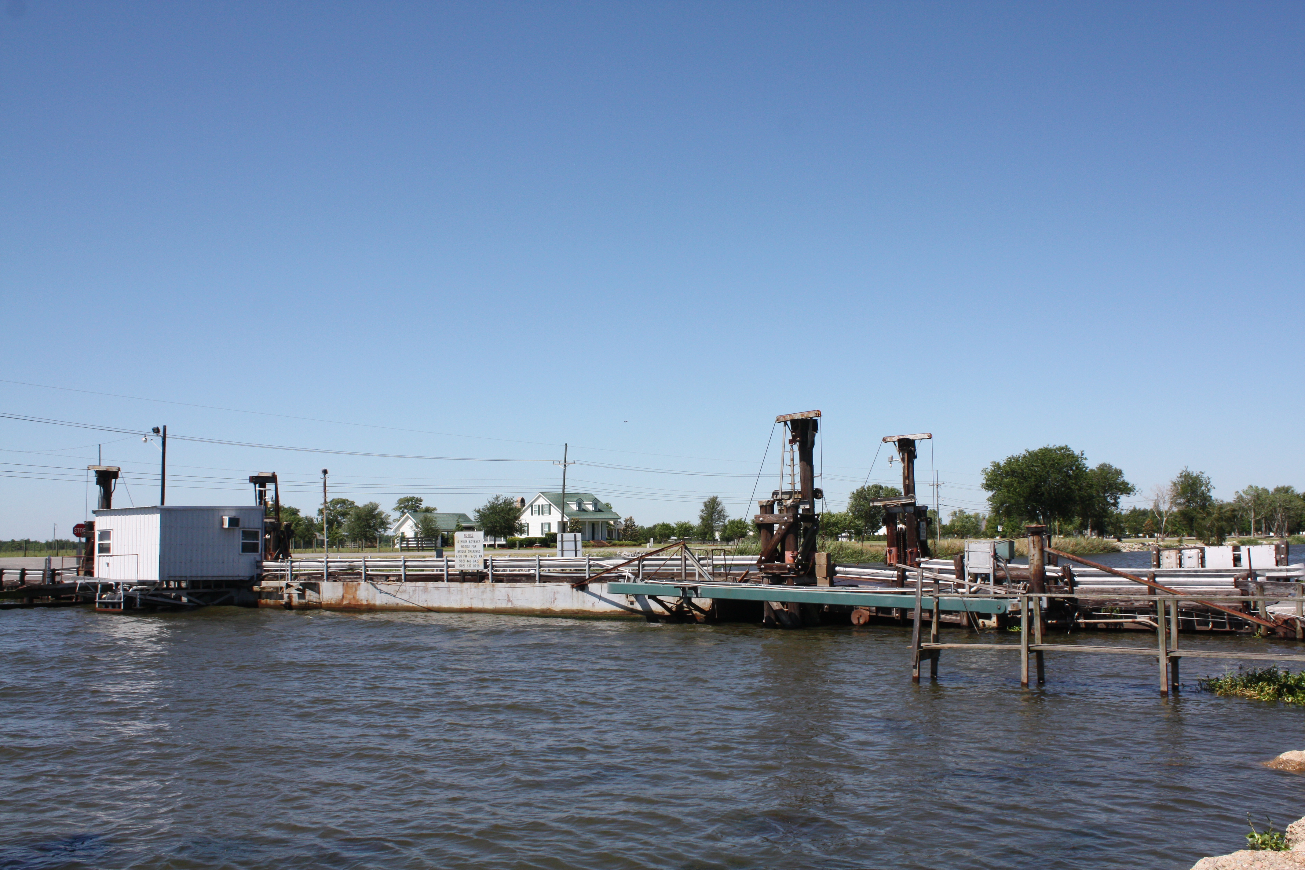
Valentine Bridge (Lafourche Parish, Louisiana)
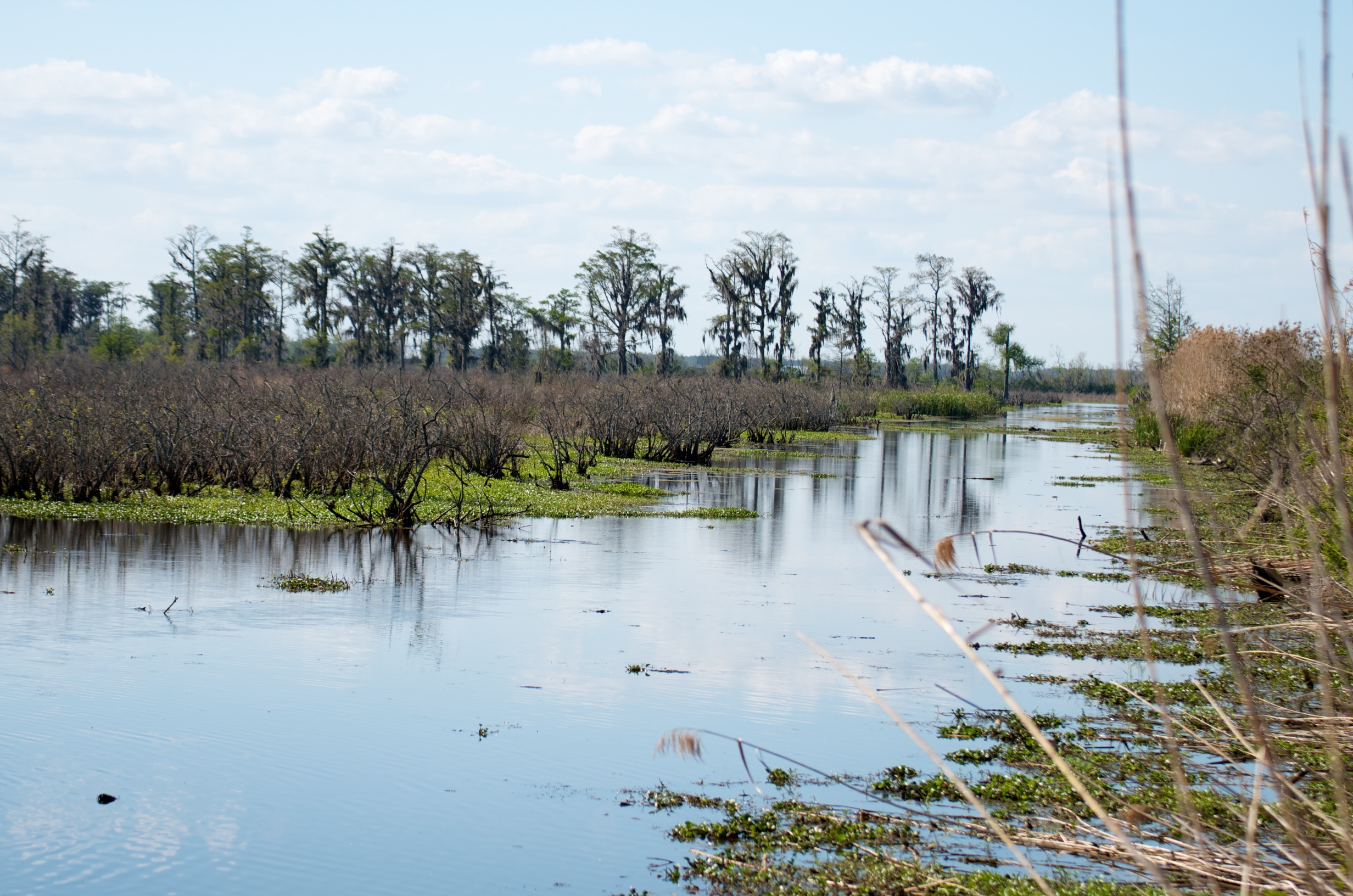
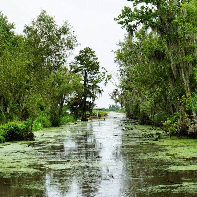
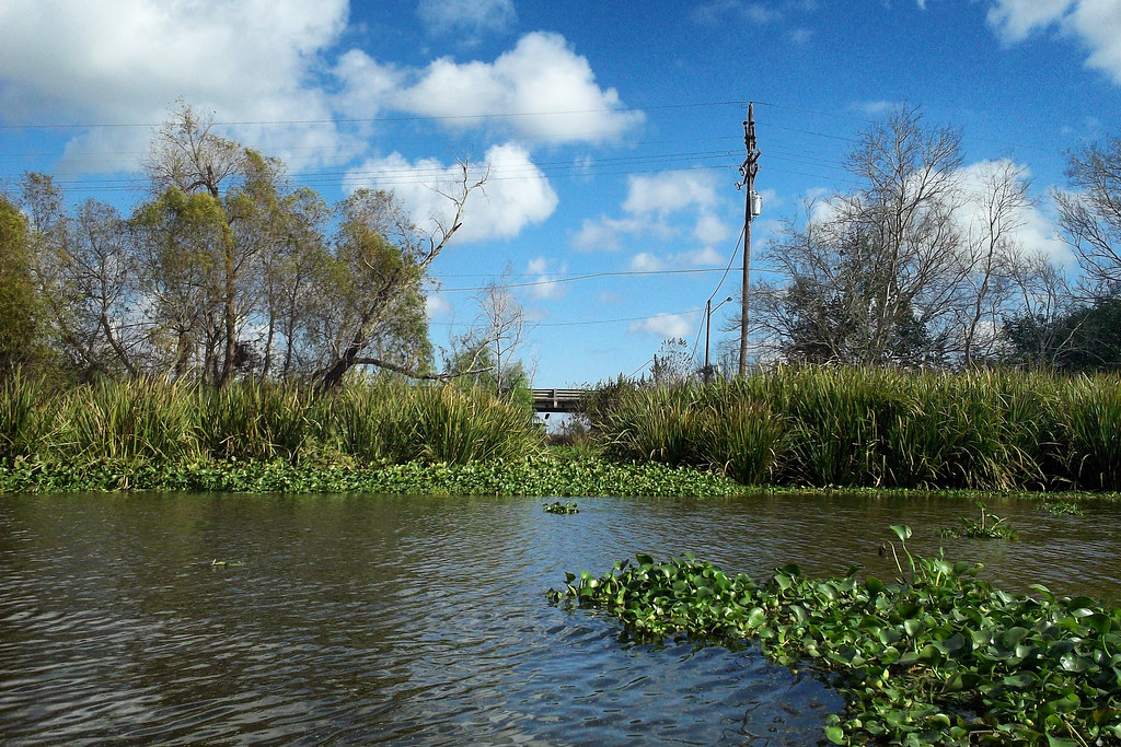
Fresh water marsh
Topographic Map of Mathews, LA, USA
Find elevation by address:

Places in Mathews, LA, USA:
Places near Mathews, LA, USA:
274 St Joseph St
1 Central Lafourche Dr
Saint Joseph Street
325 Central Lafourche Dr
204 Leona Dr
233 Peytral Dr
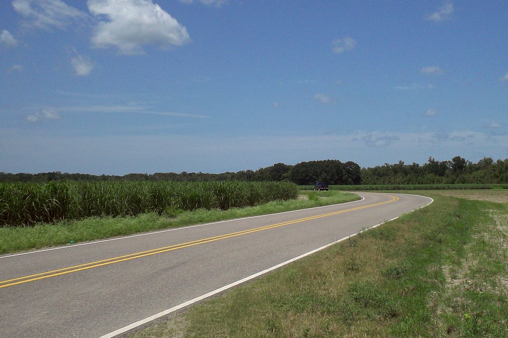
Barker Rd, Lockport, LA, USA
Lafourche Parish
212 Acadia Park Dr
146 Twin Oaks Dr
150 Lake View Dr
150 Lake View Dr
150 Lake View Dr
184 Rue De Levert
333 Sycamore St
165 City Pl Dr
Lockport
807 Lafourche St
194 Degruise Ln
4 Elliott Dr
Recent Searches:
- Elevation of Corso Fratelli Cairoli, 35, Macerata MC, Italy
- Elevation of Tallevast Rd, Sarasota, FL, USA
- Elevation of 4th St E, Sonoma, CA, USA
- Elevation of Black Hollow Rd, Pennsdale, PA, USA
- Elevation of Oakland Ave, Williamsport, PA, USA
- Elevation of Pedrógão Grande, Portugal
- Elevation of Klee Dr, Martinsburg, WV, USA
- Elevation of Via Roma, Pieranica CR, Italy
- Elevation of Tavkvetili Mountain, Georgia
- Elevation of Hartfords Bluff Cir, Mt Pleasant, SC, USA