Elevation of Rozet, WY, USA
Location: United States > Wyoming > Campbell County >
Longitude: -105.20609
Latitude: 44.2780362
Elevation: 1305m / 4281feet
Barometric Pressure: 87KPa
Elevation Map:
Satellite Map:
Related Photos:

Green in Donkey Creek
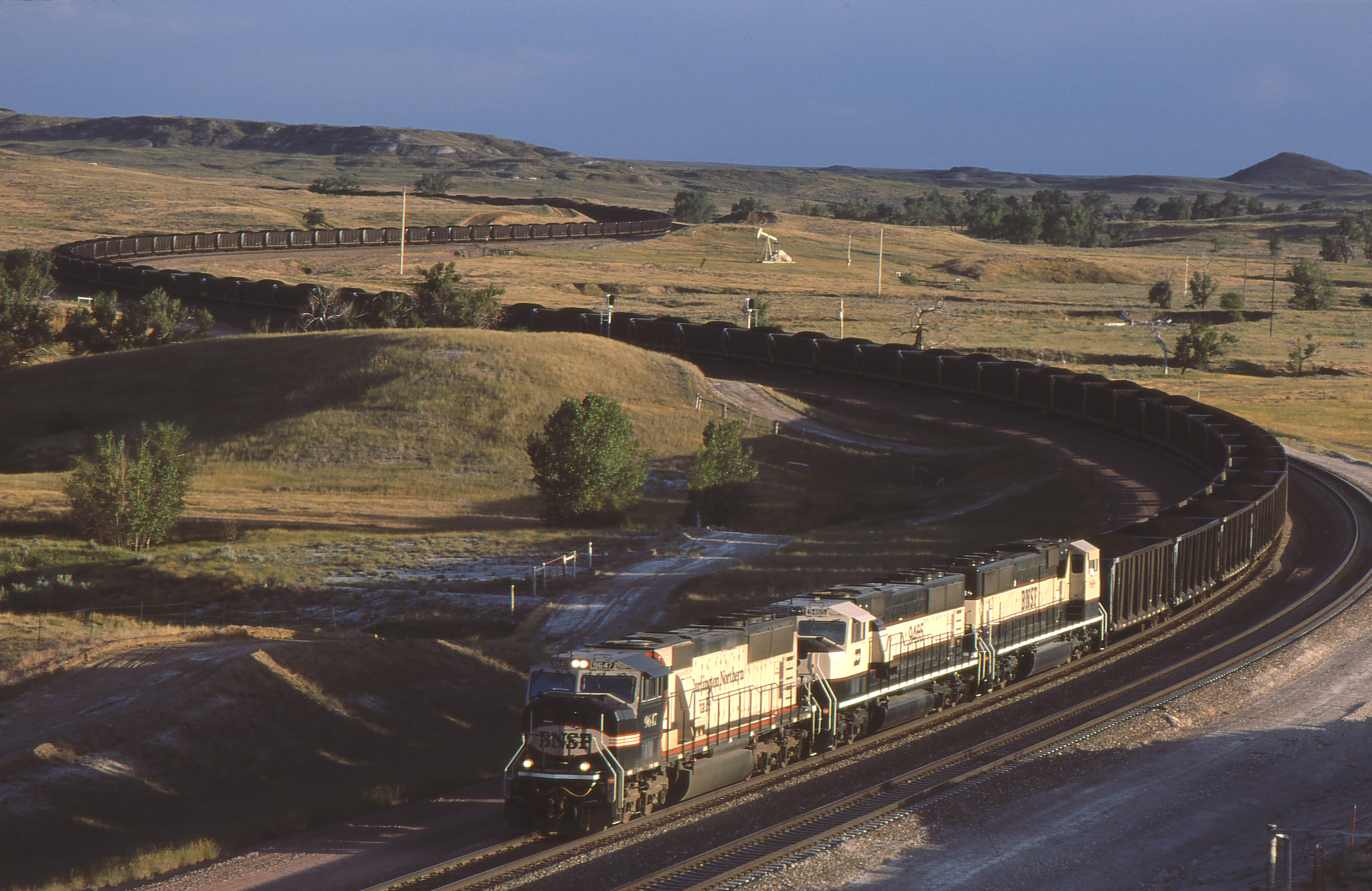
BNSF 9647 E DONKEY CRK WY 7-17-97
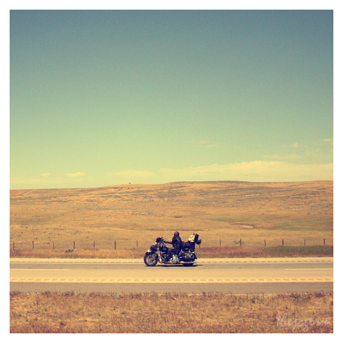
The Wild 5

The Wild

(2014-07-22) - 0244

Loads east out of Donkey Creek Yard, WY

GLAD THERE'S ONLY ONE LIKE THIS!
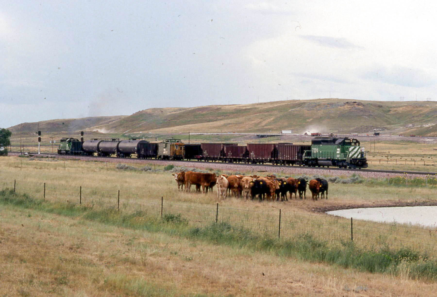
19910725 15 Burlington Northern, Moorcroft, WY

Gillette Yard

Gillette Yard
Topographic Map of Rozet, WY, USA
Find elevation by address:

Places near Rozet, WY, USA:
Raven St, Gillette, WY, USA
303 Industrial Park Dr
S Yellowstone Ave, Moorcroft, WY, USA
Moorcroft
Campbell County
24 Waters Dr, Pine Haven, WY, USA
Pine Haven
Carlile
29 Mule Creek Dr
29 Mule Creek Dr
Crook County
Devils Tower National Monument
Devils Tower
Devils Tower / Black Hills Koa
Mule Creek Road
Upton
Ash St, Upton, WY, USA
1520 Pine St
208 Bear Claw Trail
Hulett
Recent Searches:
- Elevation of Corso Fratelli Cairoli, 35, Macerata MC, Italy
- Elevation of Tallevast Rd, Sarasota, FL, USA
- Elevation of 4th St E, Sonoma, CA, USA
- Elevation of Black Hollow Rd, Pennsdale, PA, USA
- Elevation of Oakland Ave, Williamsport, PA, USA
- Elevation of Pedrógão Grande, Portugal
- Elevation of Klee Dr, Martinsburg, WV, USA
- Elevation of Via Roma, Pieranica CR, Italy
- Elevation of Tavkvetili Mountain, Georgia
- Elevation of Hartfords Bluff Cir, Mt Pleasant, SC, USA