Elevation of Royall Dr, Dudley, NC, USA
Location: United States > North Carolina > Wayne County > Brogden > Brogden > Dudley >
Longitude: -78.034211
Latitude: 35.292851
Elevation: 53m / 174feet
Barometric Pressure: 101KPa
Elevation Map:
Satellite Map:
Related Photos:

Beautiful Life
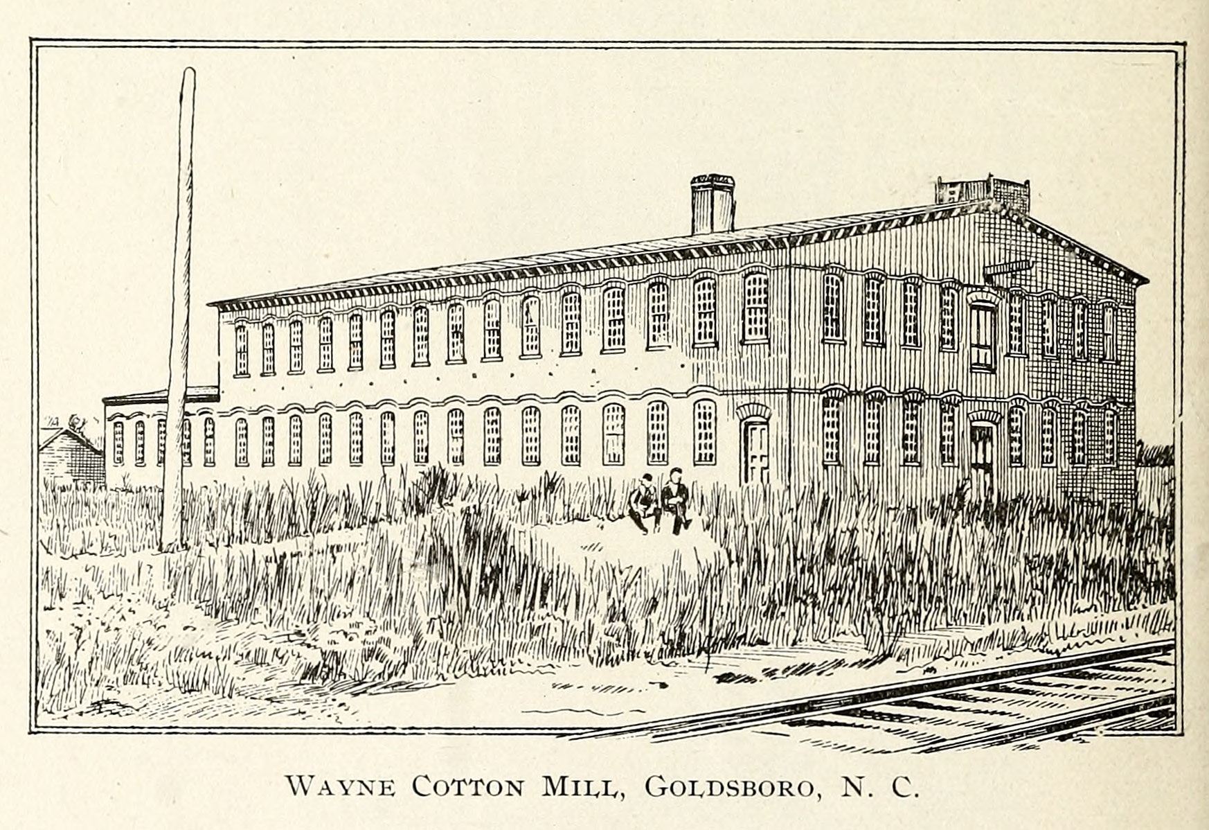
Wayne Cotton Mill, Goldsboro, NC

Willow Dale Cemetery

Time to Fly!!

Rainbow center

Side View Of Powers Quadzilla Carnival Ride.

X-ray 3
X-ray 2
X-ray 1

Sculptures From The Past
X-ray 3, highlighted
X-ray 4

SKY - HDR
right side view
Rail Road Village
library view from the mezzanine
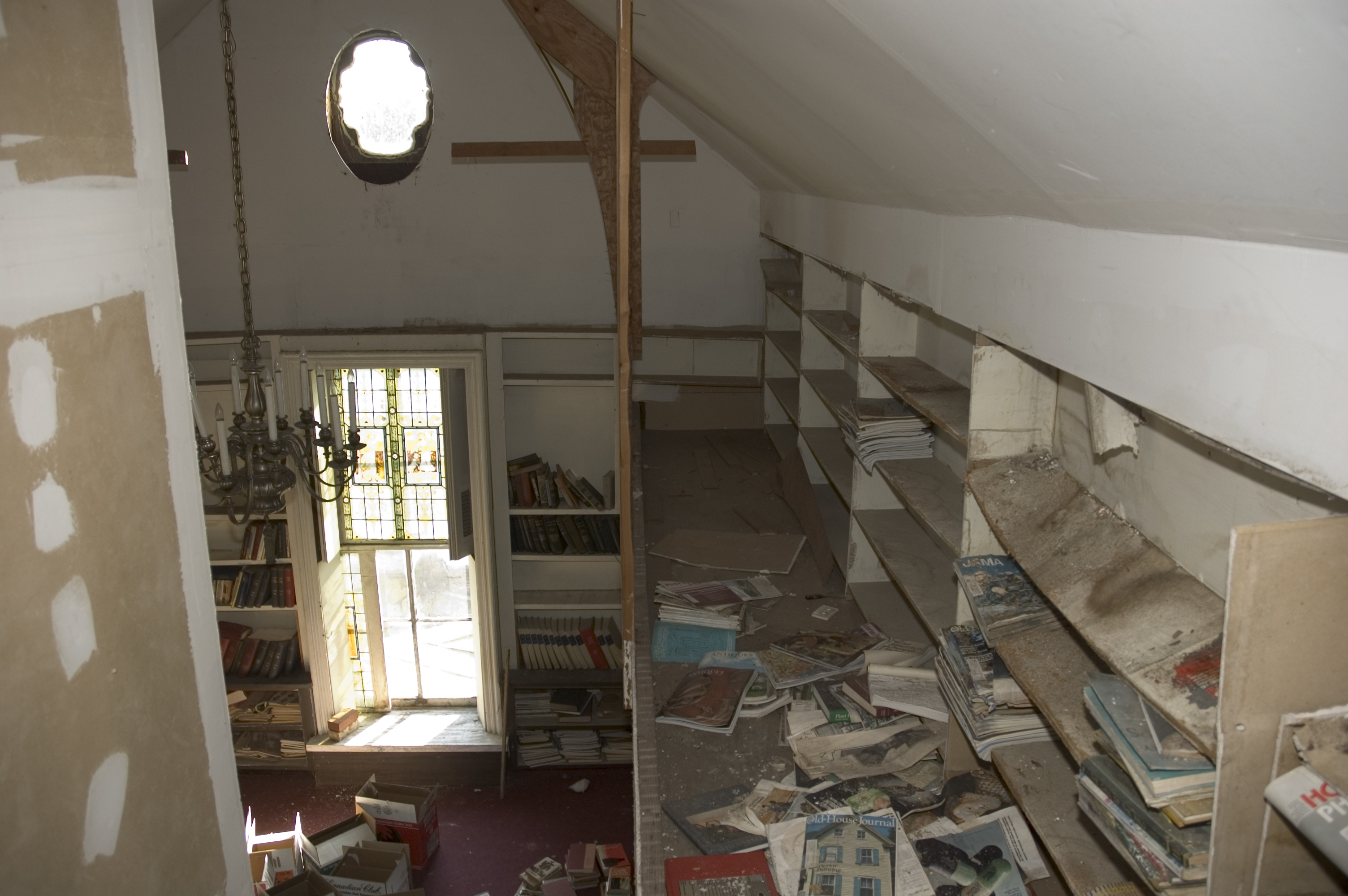
library view from the mezzanine

Britt Farmall

Frosty Morning
notched dam pit antenna
20151110-RD-LSC-0647
20151110-RD-LSC-0645
Cliffs of the Neuse
Colorful Sunrise
IT'S ELECTRIC
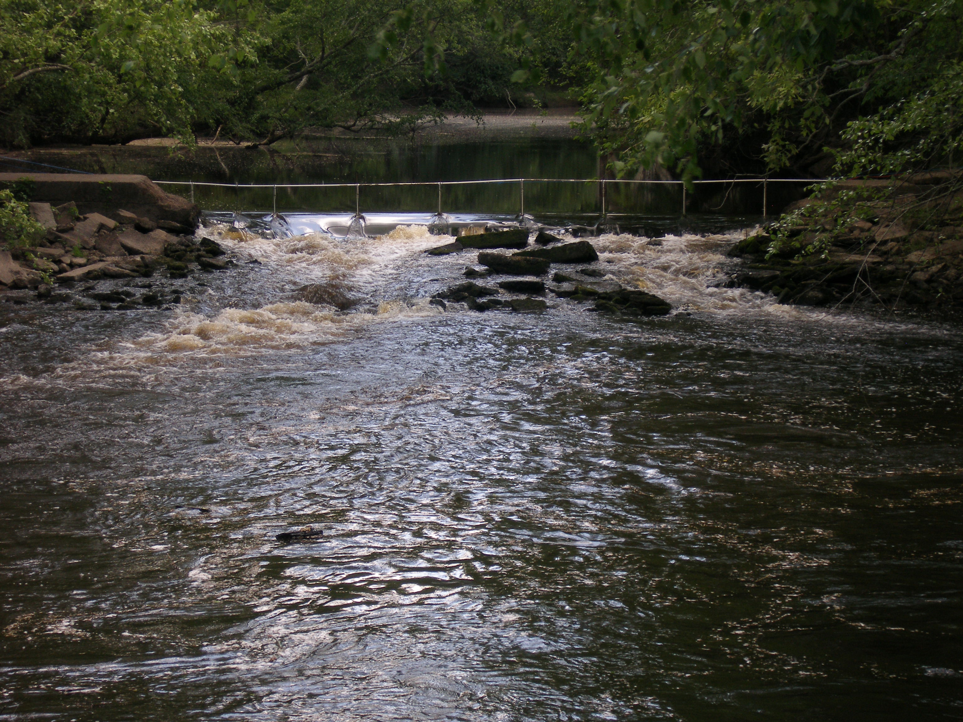
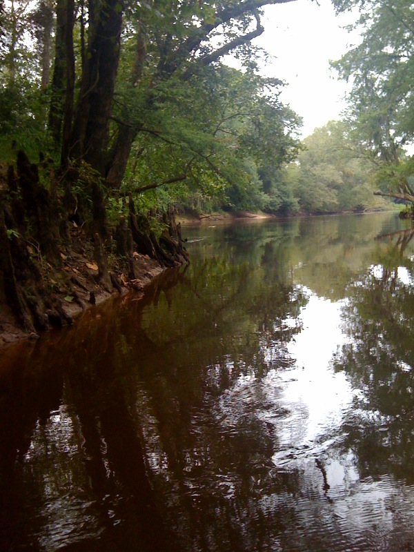
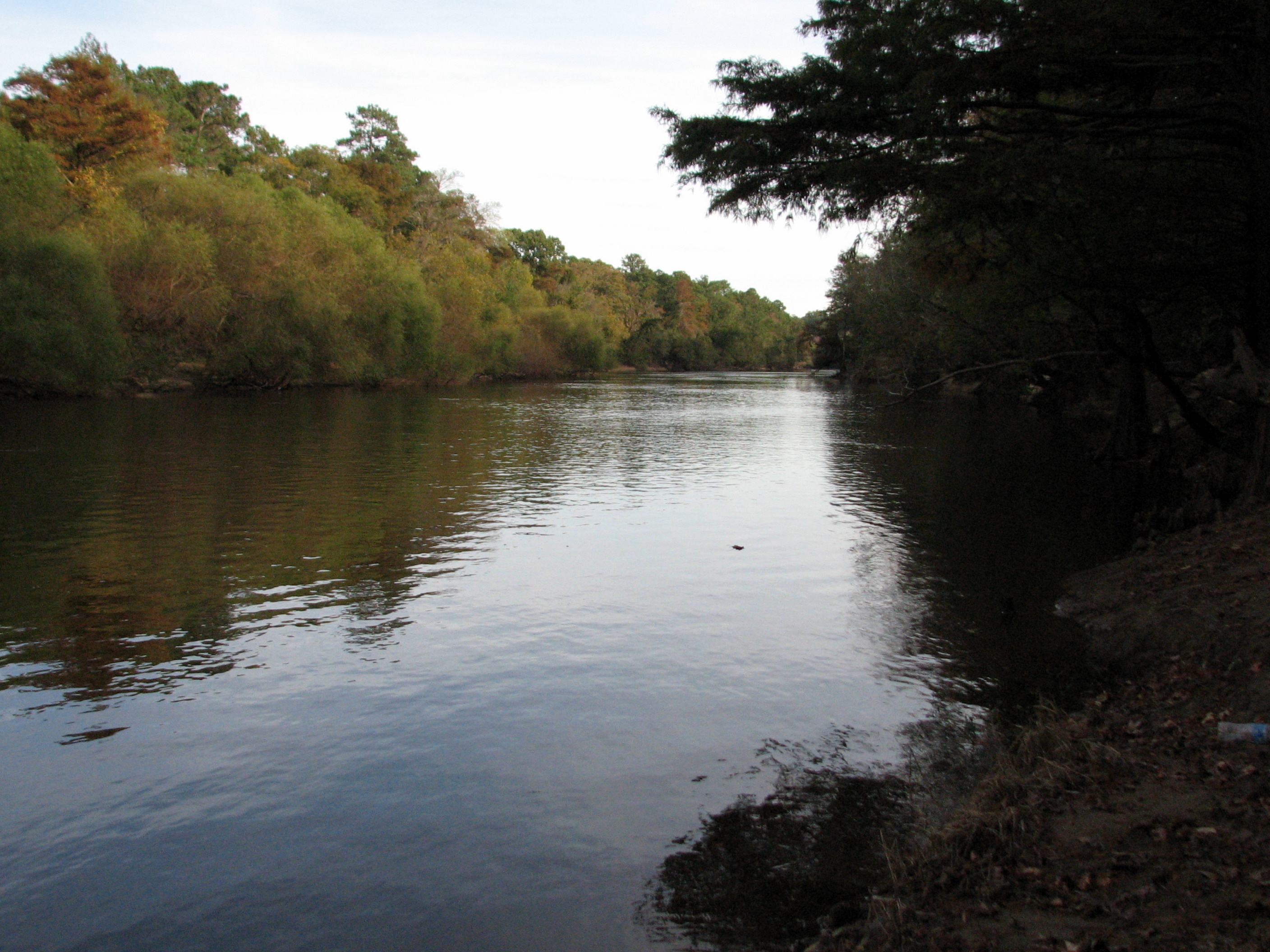
Neuse River - 041513-123441-RGA
Swamp near Neuse River
Raindrops - 040513-103635-RGA
Cliffs of the Neuse

Dead Tree.
J&J Rental
Quick Photos From the Neuse River Expedition
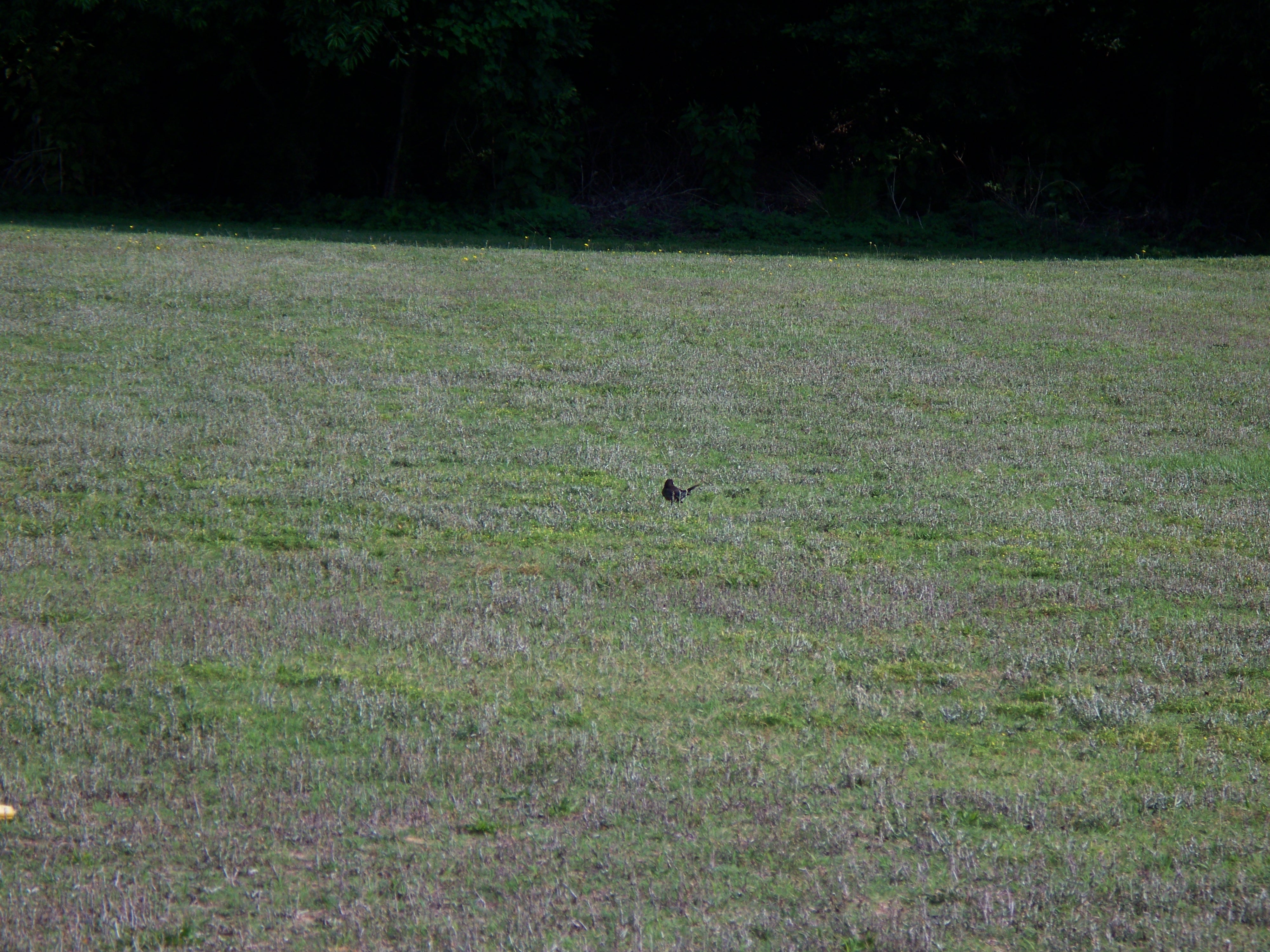
Bird walking across the grass

A few quick Neuse River Pictures
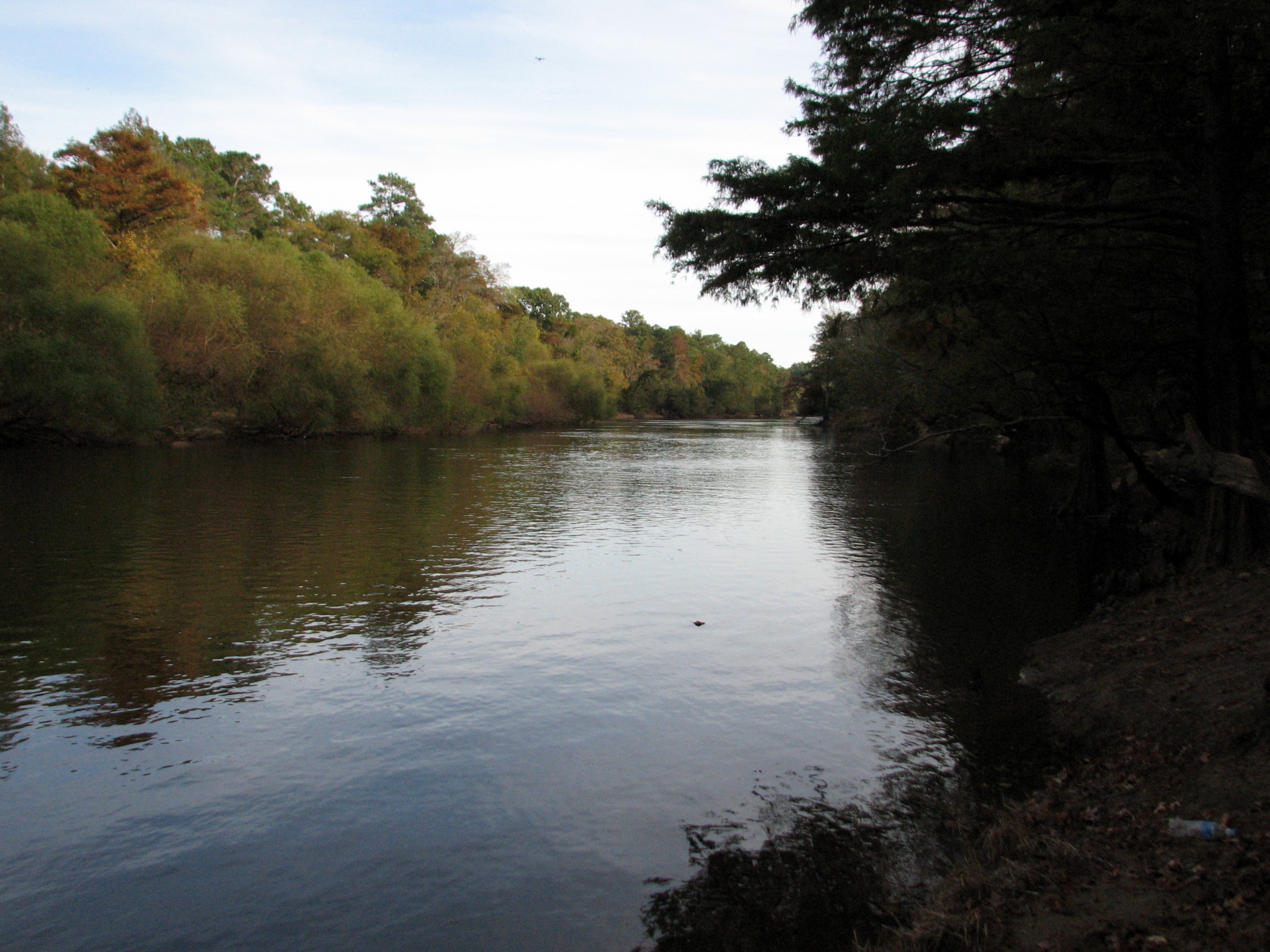
Neuse River Cliffs of the Neuse SP NC 0350
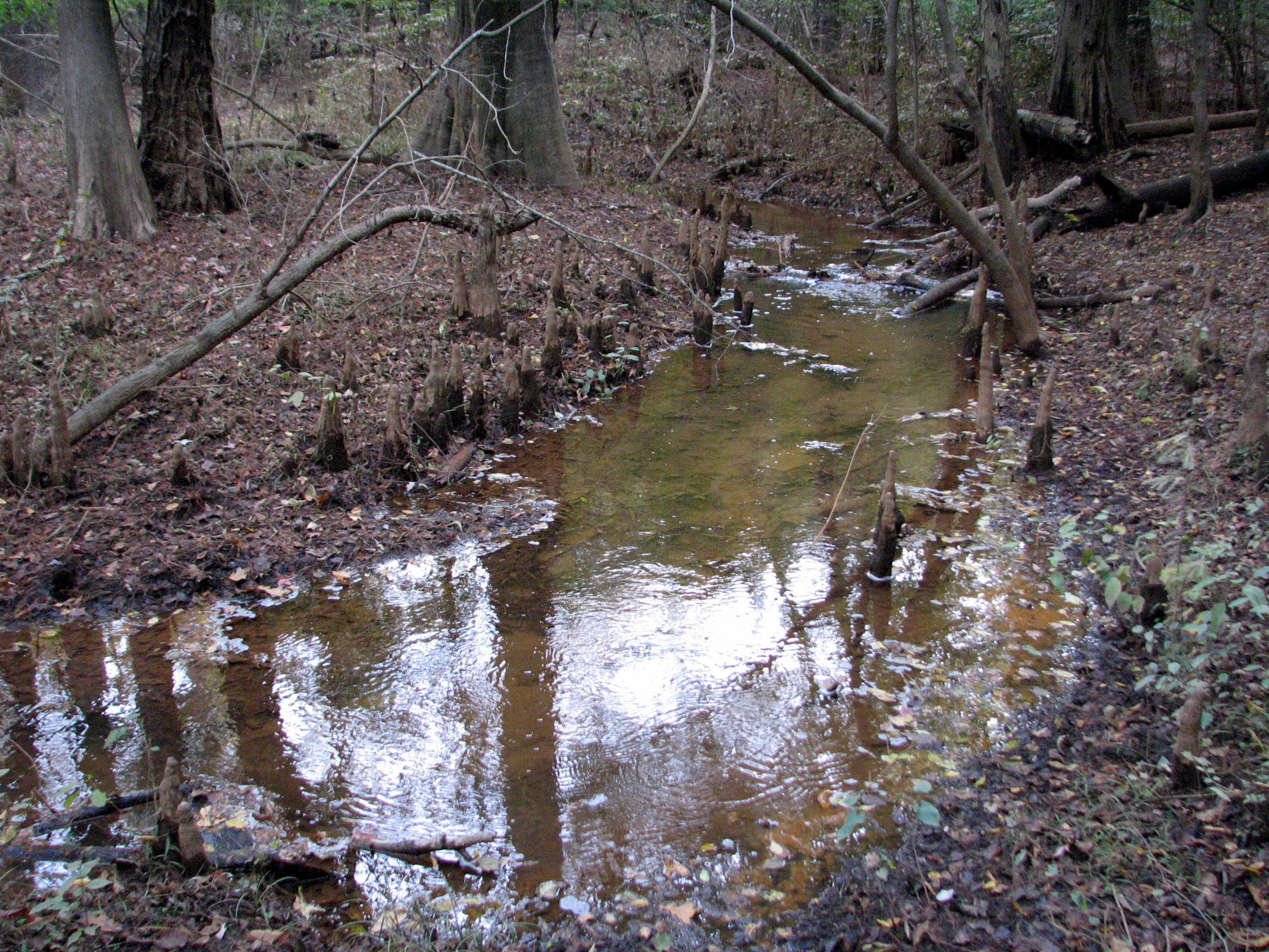
Cypress Knees on the creek Cliffs of the Neuse SP NC 0364
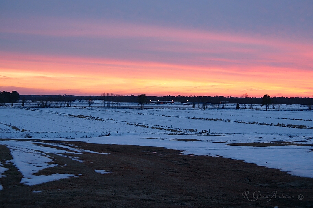
Winter Sunset
Neuse River Cliffs of the Neuse SP NC 0351
Topographic Map of Royall Dr, Dudley, NC, USA
Find elevation by address:

Places near Royall Dr, Dudley, NC, USA:
Brogden
201 Brentwood Dr
Brogden
Outlaw Road
640 Outlaw Rd
119 Alder Ln
119 Alder Ln
119 Alder Ln
119 Alder Ln
212 Sleepy Creek Rd
122 Sleepy Creek Rd
Dudley
139 Brewington Dr
Dudley, NC, USA
330 Pecan Rd
2101 Arrington Bridge Rd
Hopewell
112 Ellis Dr
3084 Indian Springs Rd
Indian Springs Rd, Seven Springs, NC, USA
Recent Searches:
- Elevation of Corso Fratelli Cairoli, 35, Macerata MC, Italy
- Elevation of Tallevast Rd, Sarasota, FL, USA
- Elevation of 4th St E, Sonoma, CA, USA
- Elevation of Black Hollow Rd, Pennsdale, PA, USA
- Elevation of Oakland Ave, Williamsport, PA, USA
- Elevation of Pedrógão Grande, Portugal
- Elevation of Klee Dr, Martinsburg, WV, USA
- Elevation of Via Roma, Pieranica CR, Italy
- Elevation of Tavkvetili Mountain, Georgia
- Elevation of Hartfords Bluff Cir, Mt Pleasant, SC, USA