Elevation of Dudley, NC, USA
Location: United States > North Carolina > Wayne County > Brogden > Brogden > Dudley >
Longitude: -77.996704
Latitude: 35.2939432
Elevation: 40m / 131feet
Barometric Pressure: 101KPa
Elevation Map:
Satellite Map:
Related Photos:

Laurel's soy-milk box helmet
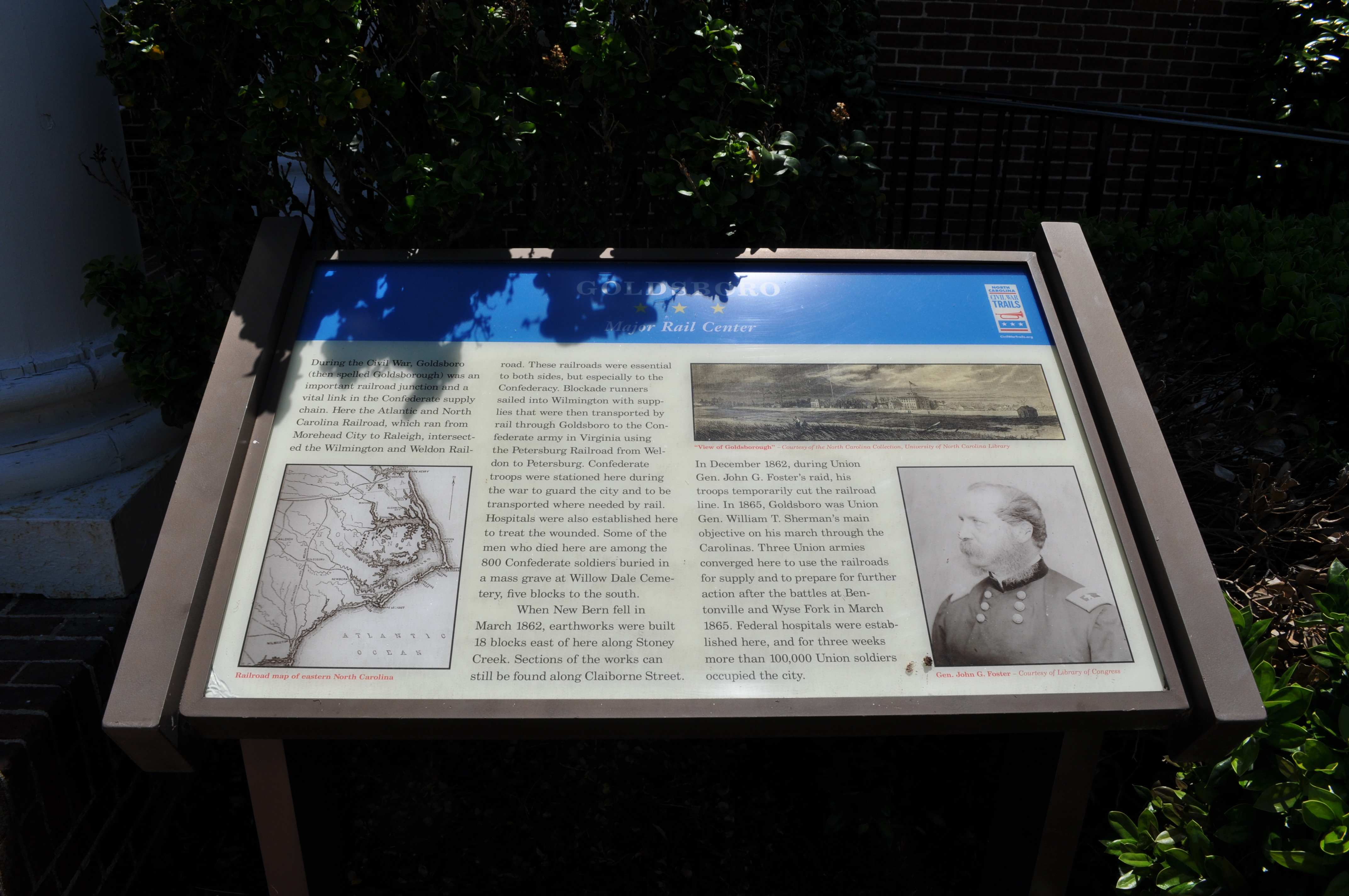
1571 Goldsboro Img_19724

Time to Fly!!

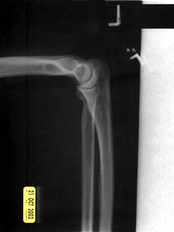
X-ray 3
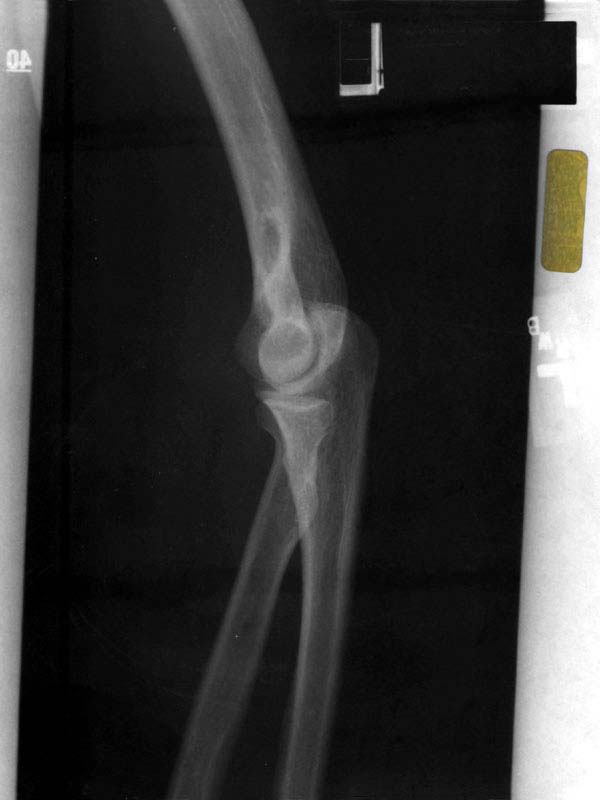
X-ray 4

Rainbow center
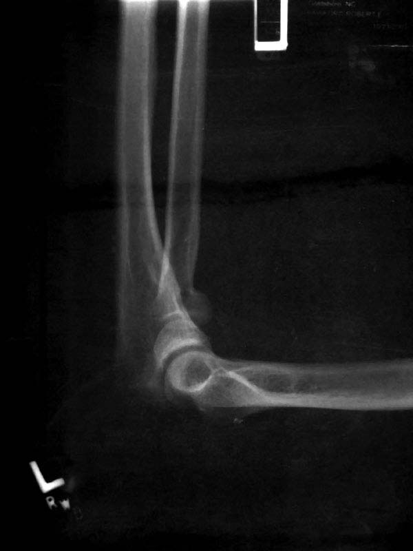
X-ray 2
X-ray 1
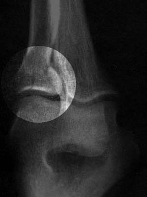
X-ray 3, highlighted

Willow Dale Cemetery
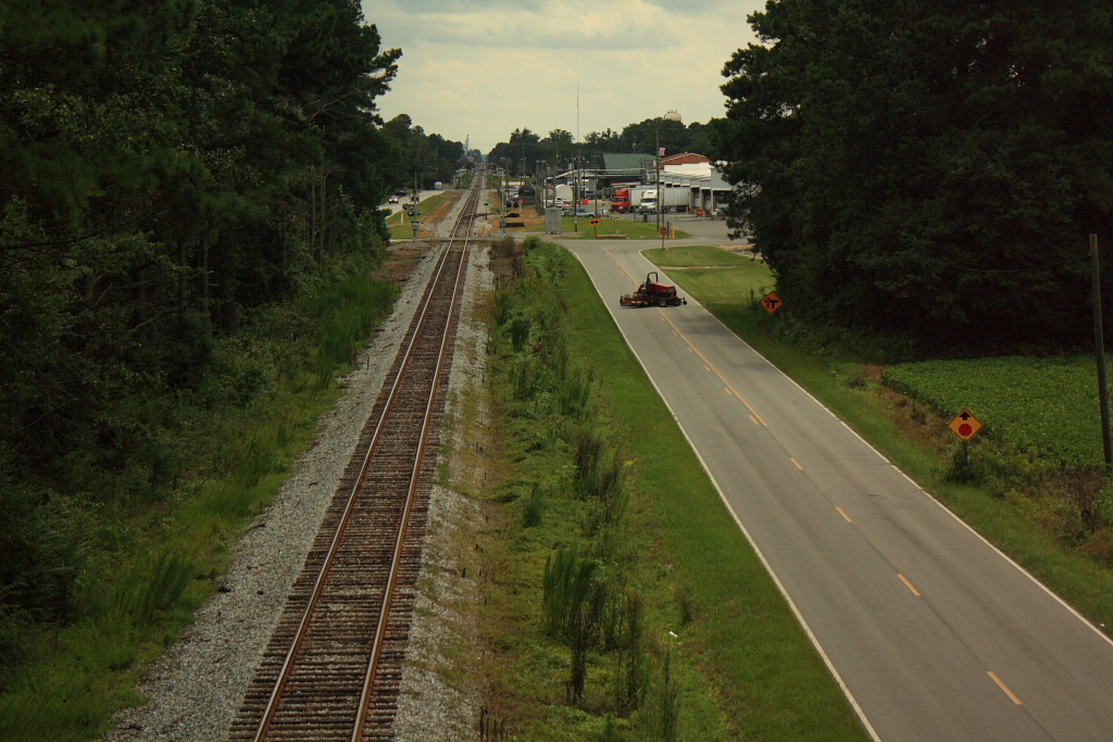
Rail Road Village

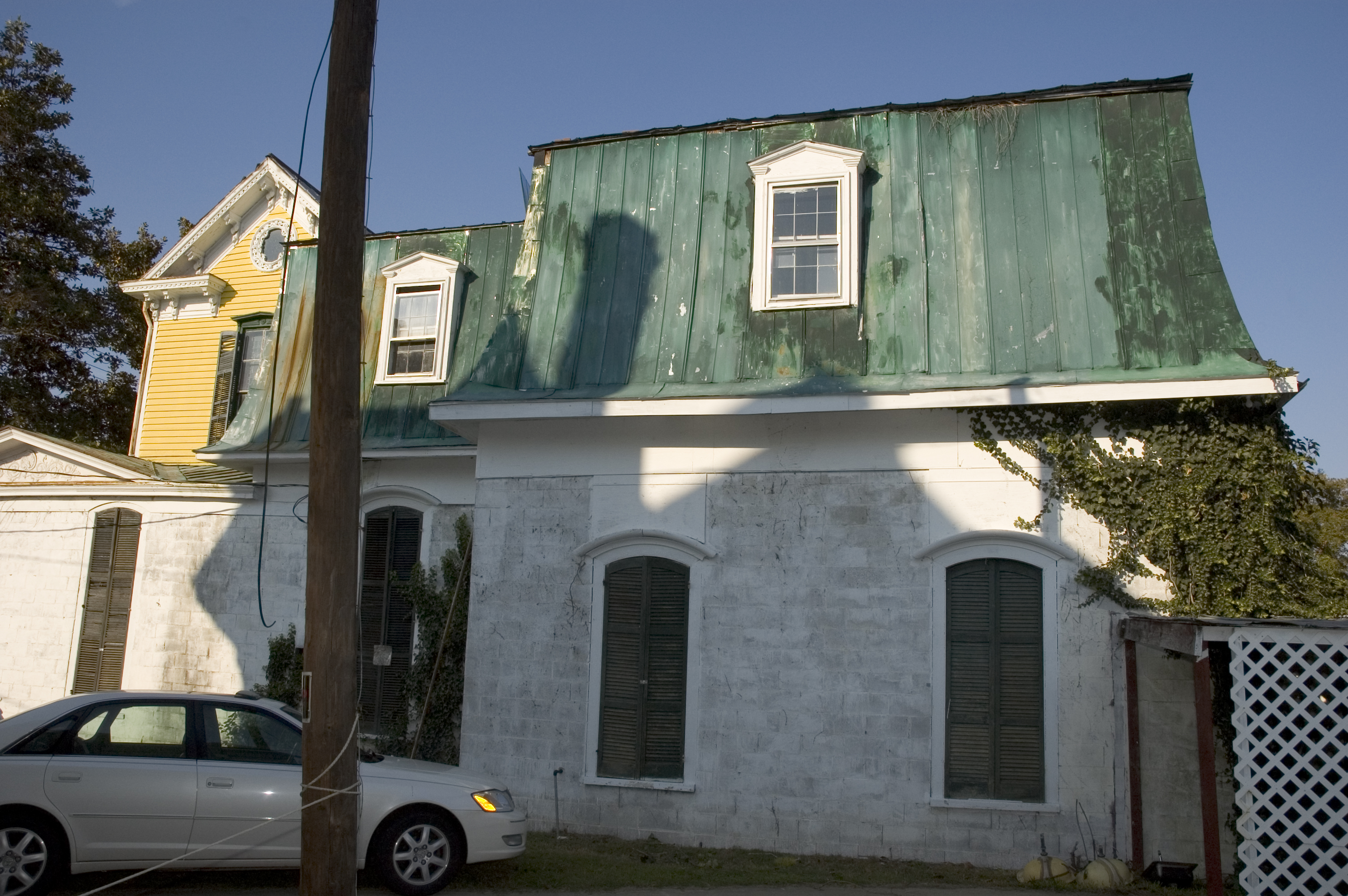
A dormer with a view.

Branch in front yard
right side view
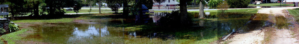
A panoramic view of the flooded front yard
Topographic Map of Dudley, NC, USA
Find elevation by address:

Places near Dudley, NC, USA:
119 Alder Ln
119 Alder Ln
119 Alder Ln
119 Alder Ln
640 Outlaw Rd
Outlaw Road
330 Pecan Rd
201 Brentwood Dr
Royall Dr, Dudley, NC, USA
Brogden
2101 Arrington Bridge Rd
Brogden
212 Sleepy Creek Rd
Dudley
139 Brewington Dr
122 Sleepy Creek Rd
112 Ellis Dr
Hopewell
3084 Indian Springs Rd
Indian Springs Rd, Seven Springs, NC, USA
Recent Searches:
- Elevation of Corso Fratelli Cairoli, 35, Macerata MC, Italy
- Elevation of Tallevast Rd, Sarasota, FL, USA
- Elevation of 4th St E, Sonoma, CA, USA
- Elevation of Black Hollow Rd, Pennsdale, PA, USA
- Elevation of Oakland Ave, Williamsport, PA, USA
- Elevation of Pedrógão Grande, Portugal
- Elevation of Klee Dr, Martinsburg, WV, USA
- Elevation of Via Roma, Pieranica CR, Italy
- Elevation of Tavkvetili Mountain, Georgia
- Elevation of Hartfords Bluff Cir, Mt Pleasant, SC, USA