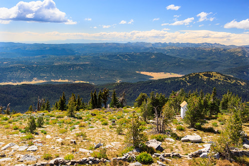
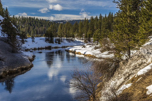
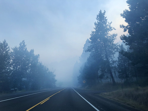
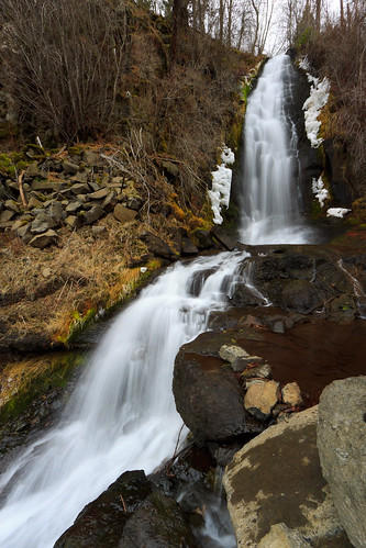
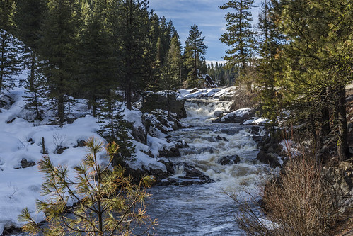
Elevation of Round Valley Rd, New Meadows, ID, USA
Location: United States > Idaho > Adams County > New Meadows >
Longitude: -116.34297
Latitude: 45.1232292
Elevation: 1223m / 4012feet
Barometric Pressure: 87KPa
Related Photos:
Topographic Map of Round Valley Rd, New Meadows, ID, USA
Find elevation by address:

Places near Round Valley Rd, New Meadows, ID, USA:
4308 Us-95
North Elk Lake Road
4035 Granite View Rd
4035 Granite View Rd
4035 Granite View Rd
US-95, New Meadows, ID, USA
3854 Hot Springs Rd
5645 Pines Rd
Pines Road
Pollock, ID, USA
Elk Lake Road
Pollock
98 Grouse Lake Cir
Brundage Mountain Idaho Ski Resort
667 7 Devils Rd
Riggins
Salmon River Rd, Riggins, ID, USA
Riggins Hot Springs
Spring Bar Campground
Box Lake
Recent Searches:
- Elevation of Corso Fratelli Cairoli, 35, Macerata MC, Italy
- Elevation of Tallevast Rd, Sarasota, FL, USA
- Elevation of 4th St E, Sonoma, CA, USA
- Elevation of Black Hollow Rd, Pennsdale, PA, USA
- Elevation of Oakland Ave, Williamsport, PA, USA
- Elevation of Pedrógão Grande, Portugal
- Elevation of Klee Dr, Martinsburg, WV, USA
- Elevation of Via Roma, Pieranica CR, Italy
- Elevation of Tavkvetili Mountain, Georgia
- Elevation of Hartfords Bluff Cir, Mt Pleasant, SC, USA
