Elevation map of Adams County, ID, USA
Location: United States > Idaho >
Longitude: -116.49160
Latitude: 44.9882561
Elevation: 1576m / 5171feet
Barometric Pressure: 84KPa
Elevation Map:
Satellite Map:
Related Photos:

flutter-by
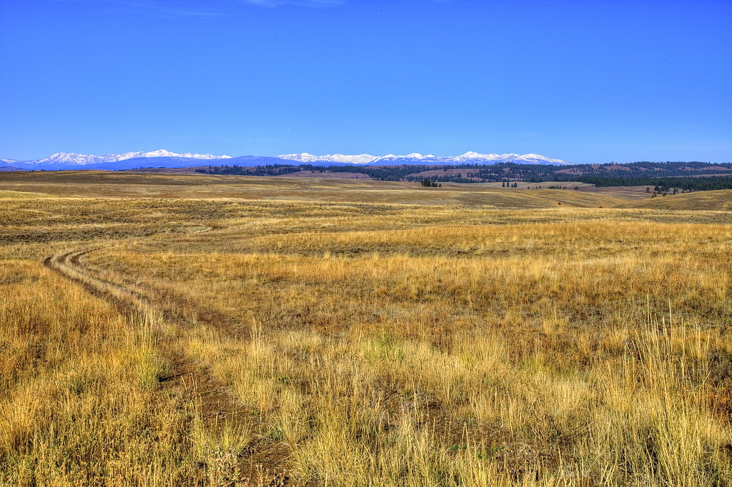
Ox Ranch Idaho Oct '13 4

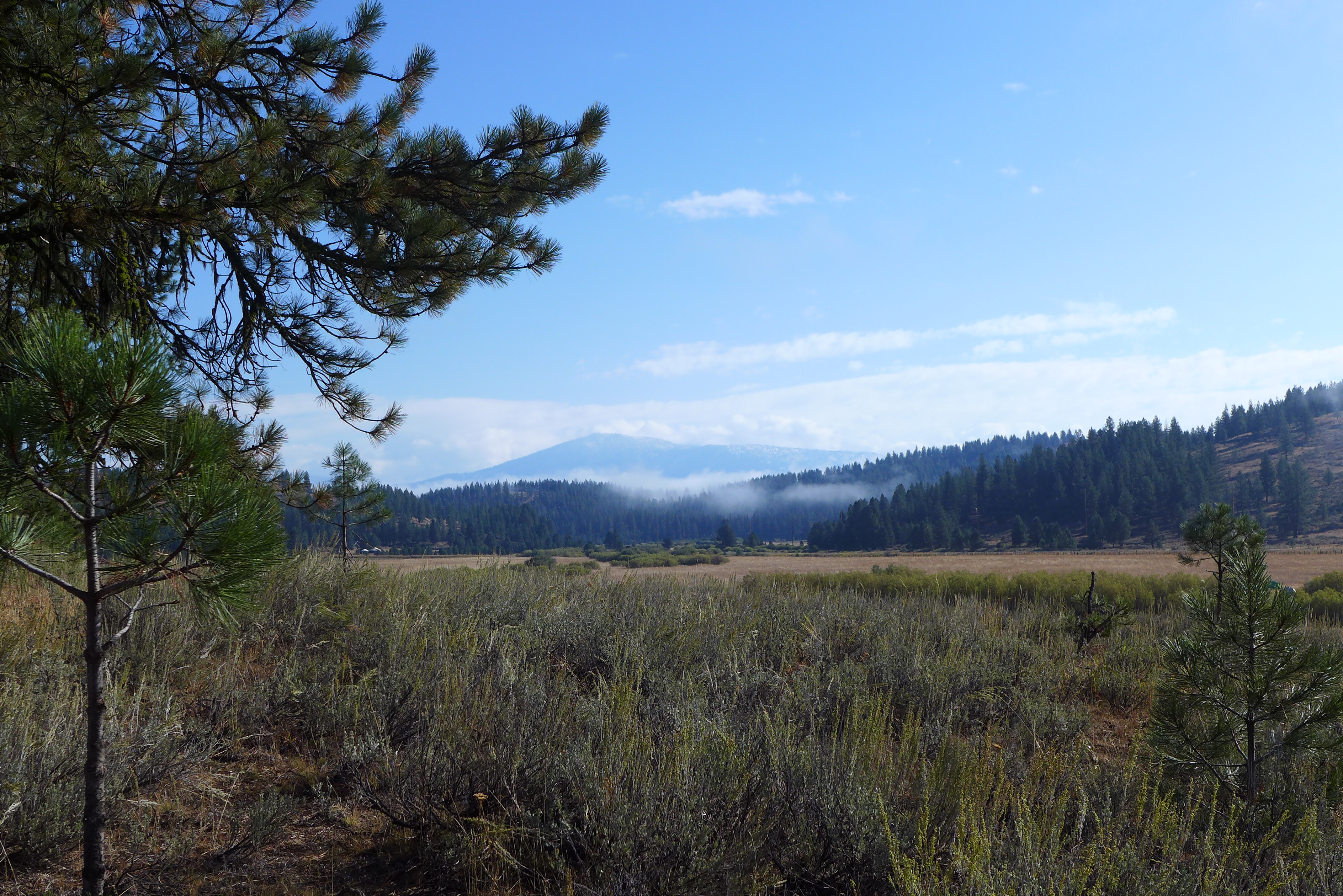
Morning Fog
The Frost Pocket

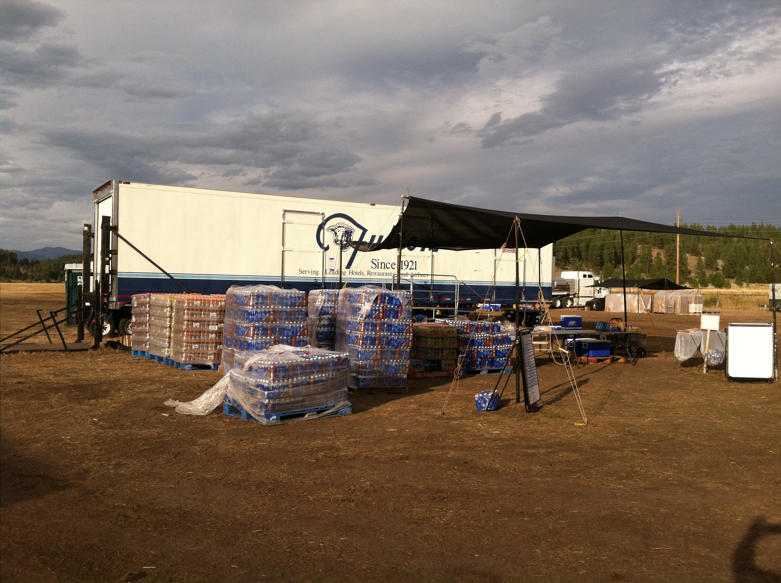
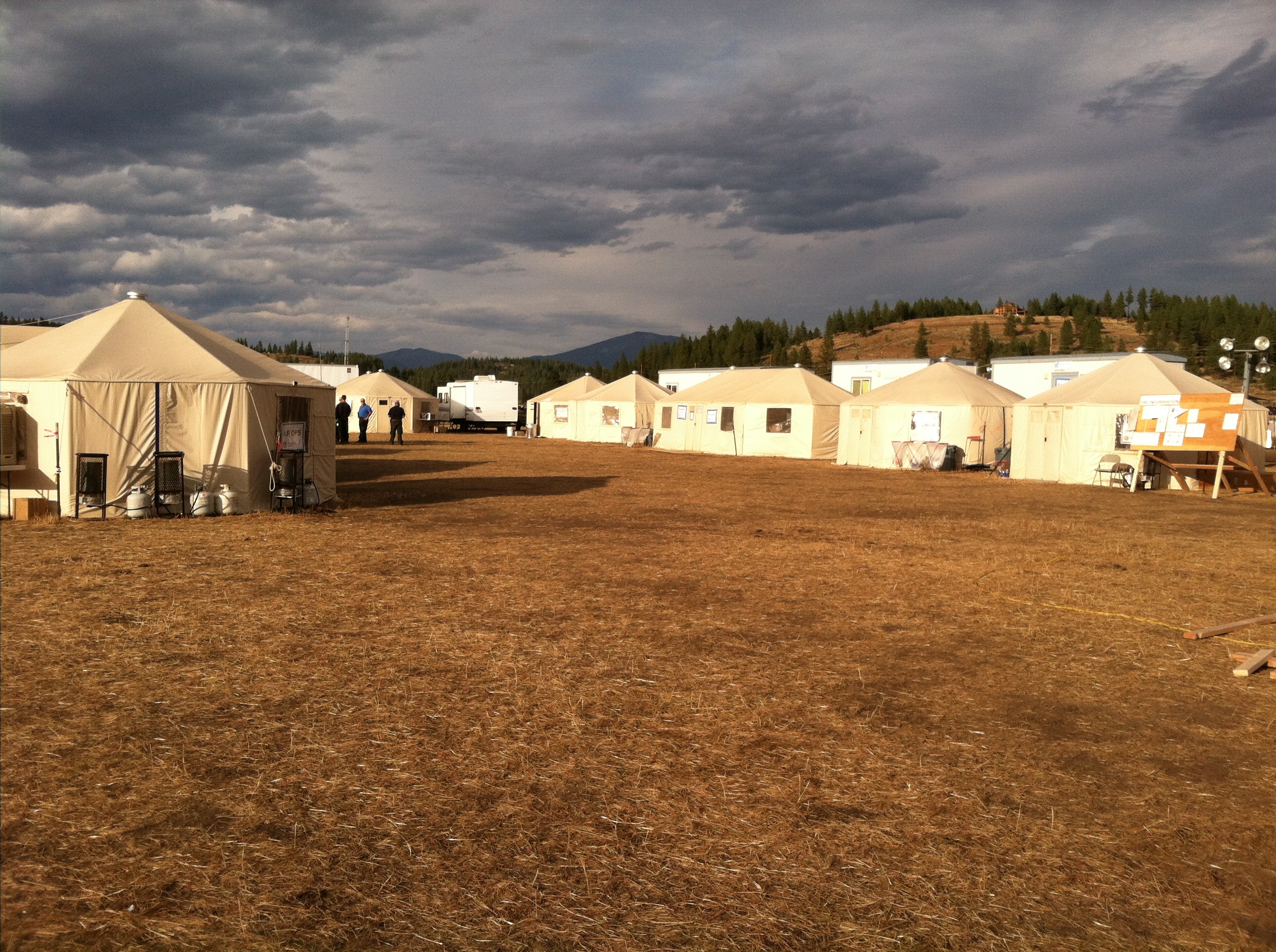
Tepee Springs Fire

Tepee Springs Fire
Tepee Springs Fire
Tepee Springs Fire
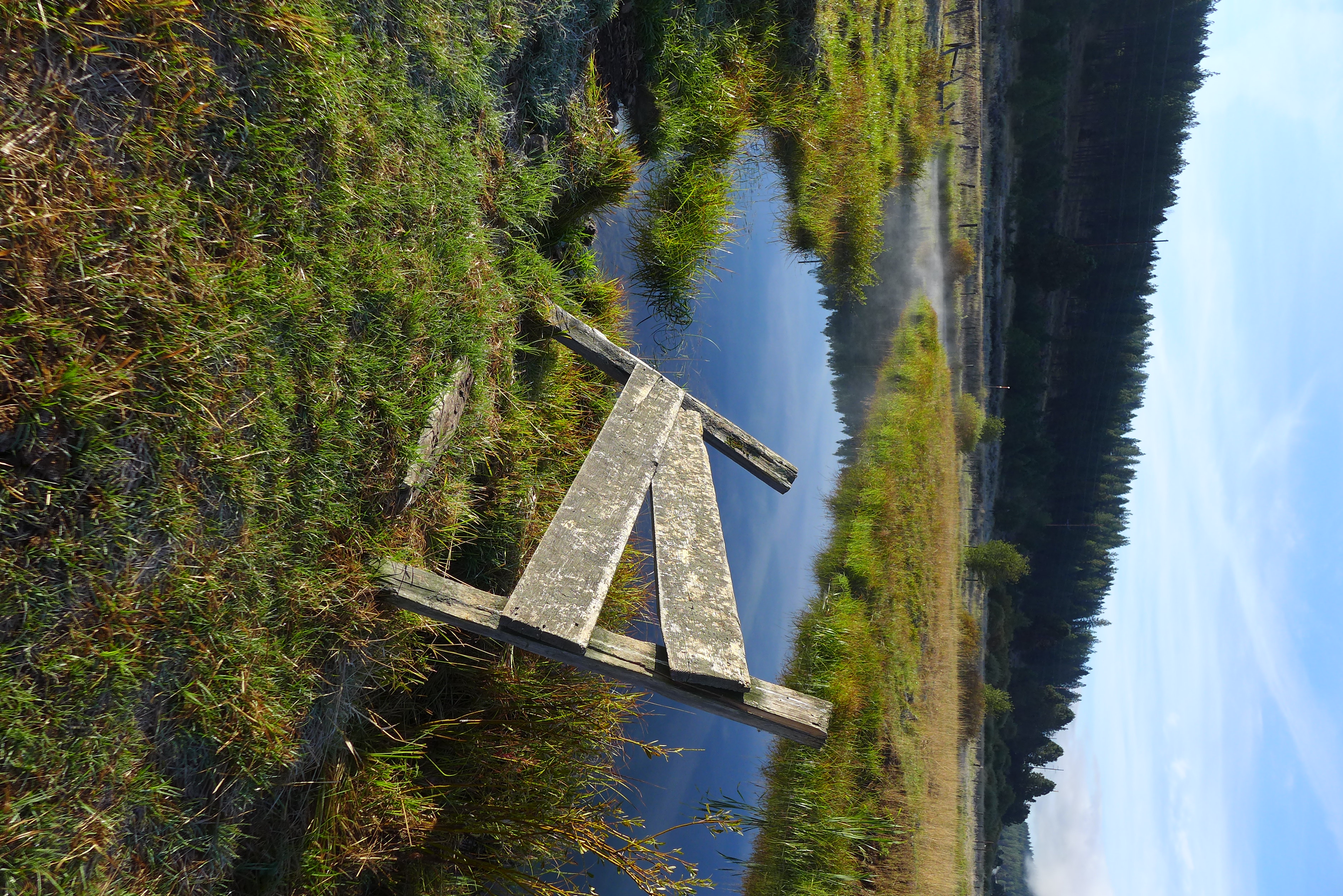
Fence and Stream

Grappling Hook
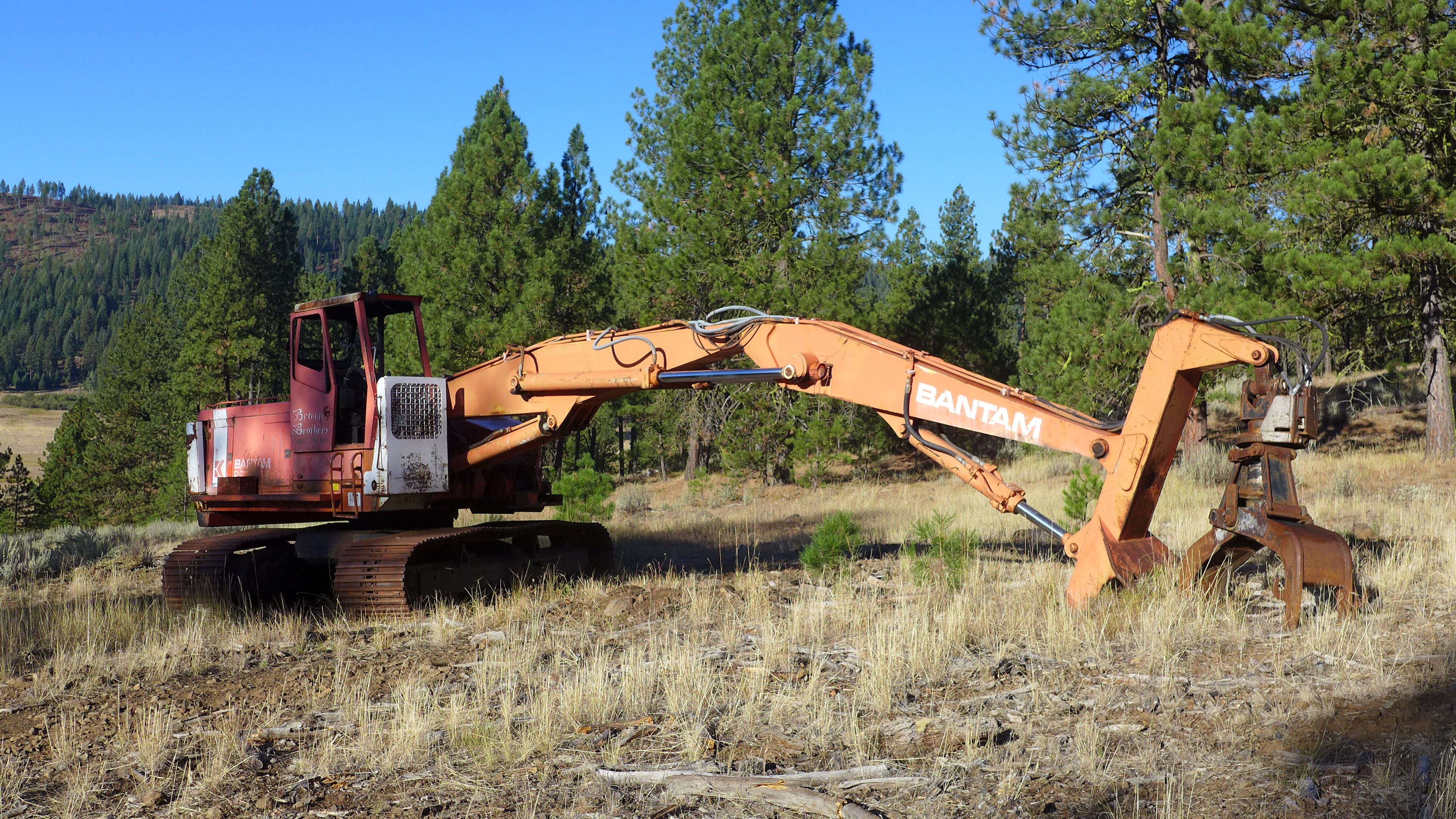
Old Logging Machine

The Last Supper

Spider Web
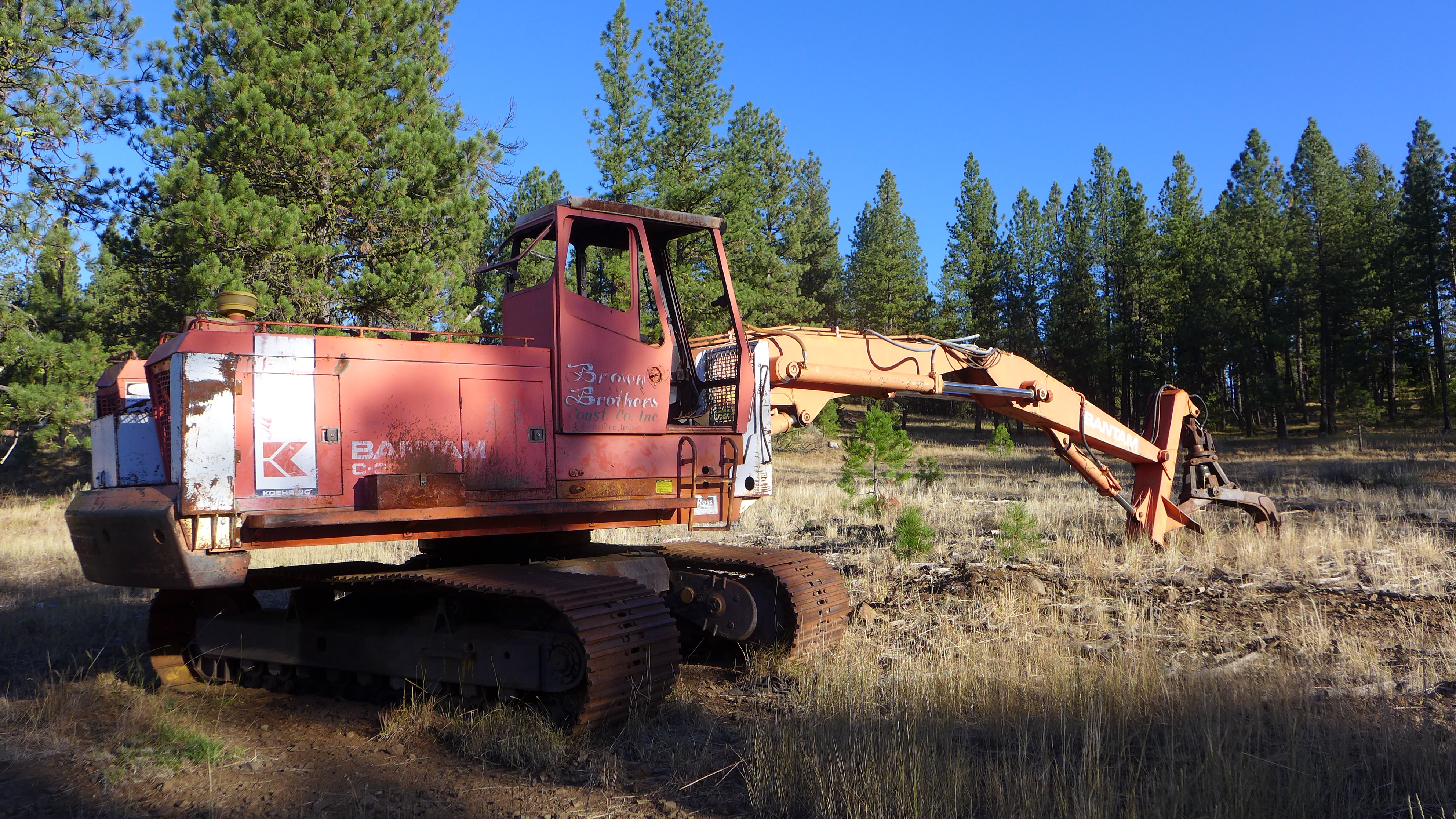
Old Logging Machine

Tree Logo

Frosty Web

Spider Web

Spider Web

Frosty Web

Old Stump

Mossy Stump
Topographic Map of Adams County, ID, USA
Find elevation by address:

Places in Adams County, ID, USA:
Places near Adams County, ID, USA:
Council, ID, USA
Tamarack
Tamarack View Drive
New Meadows
2347 Spring Creek Ln
Walker Lane
2443 Lappin Ln
2333 Orchard Rd
South Exeter Street
Council
Illinois Ave, Council, ID, USA
1895 S Exeter Ln
1887 Us-95
1830 S Exeter St
1420 Goodrich Creek Rd
Middle Fork Road
1450 Goodrich Creek Rd
Blackhawk Lake Drive
3597 Cow Creek Rd
2192 Apple Ln
Recent Searches:
- Elevation of Corso Fratelli Cairoli, 35, Macerata MC, Italy
- Elevation of Tallevast Rd, Sarasota, FL, USA
- Elevation of 4th St E, Sonoma, CA, USA
- Elevation of Black Hollow Rd, Pennsdale, PA, USA
- Elevation of Oakland Ave, Williamsport, PA, USA
- Elevation of Pedrógão Grande, Portugal
- Elevation of Klee Dr, Martinsburg, WV, USA
- Elevation of Via Roma, Pieranica CR, Italy
- Elevation of Tavkvetili Mountain, Georgia
- Elevation of Hartfords Bluff Cir, Mt Pleasant, SC, USA