Elevation of Round Top Rd, Round Top, TX, USA
| Latitude | 30.0692422 |
|---|---|
| Longitude | -96.7111154 |
| Elevation | 110m / 361feet |
| Barometric Pressure | 1000KPa |
Related Photos:
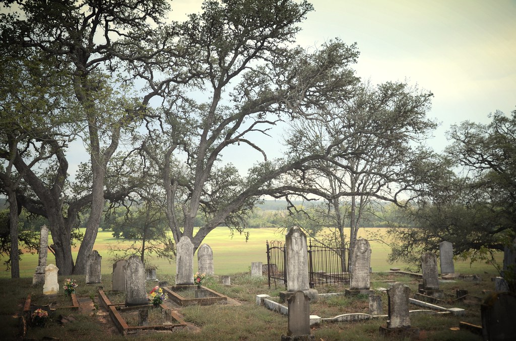
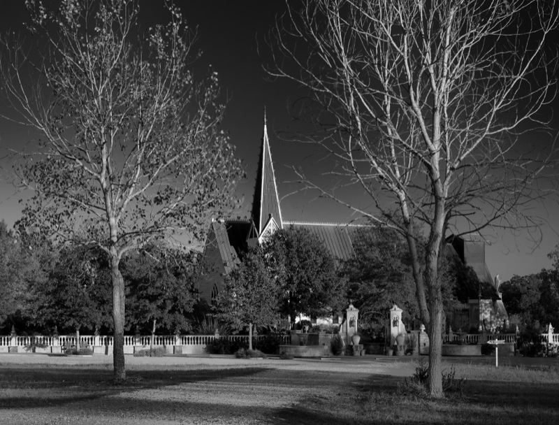
bethlehem lutheran church cemetery

Road to Round Top Texas
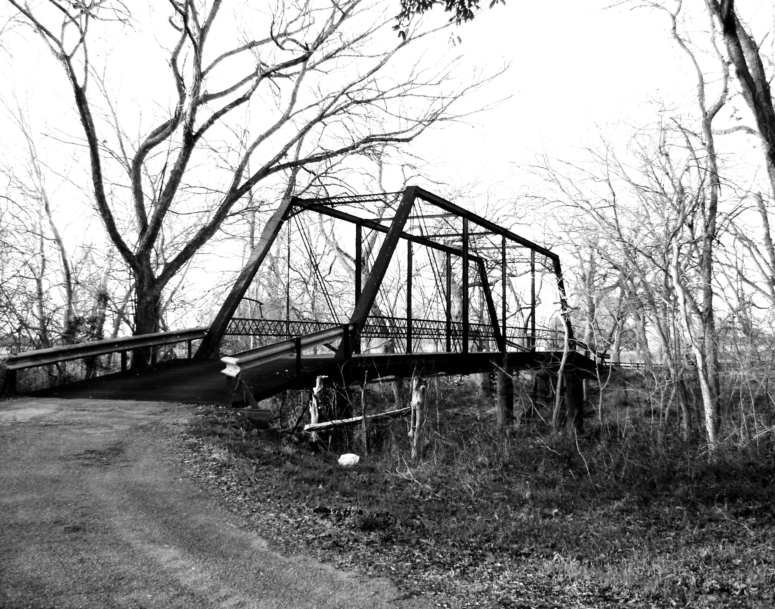
Willow Springs Road Bridge over Cummins Creek, Fayette County, Texas 0130101656BW

Road to Round Top Texas
Road to Round Top Texas

Butterfly Magic on Road to Round Top Texas

Road to Round Top Texas
Road to Round Top Texas

Road to Round Top Texas
Chapel Path

Flowers - 2
St. Joseph - 8
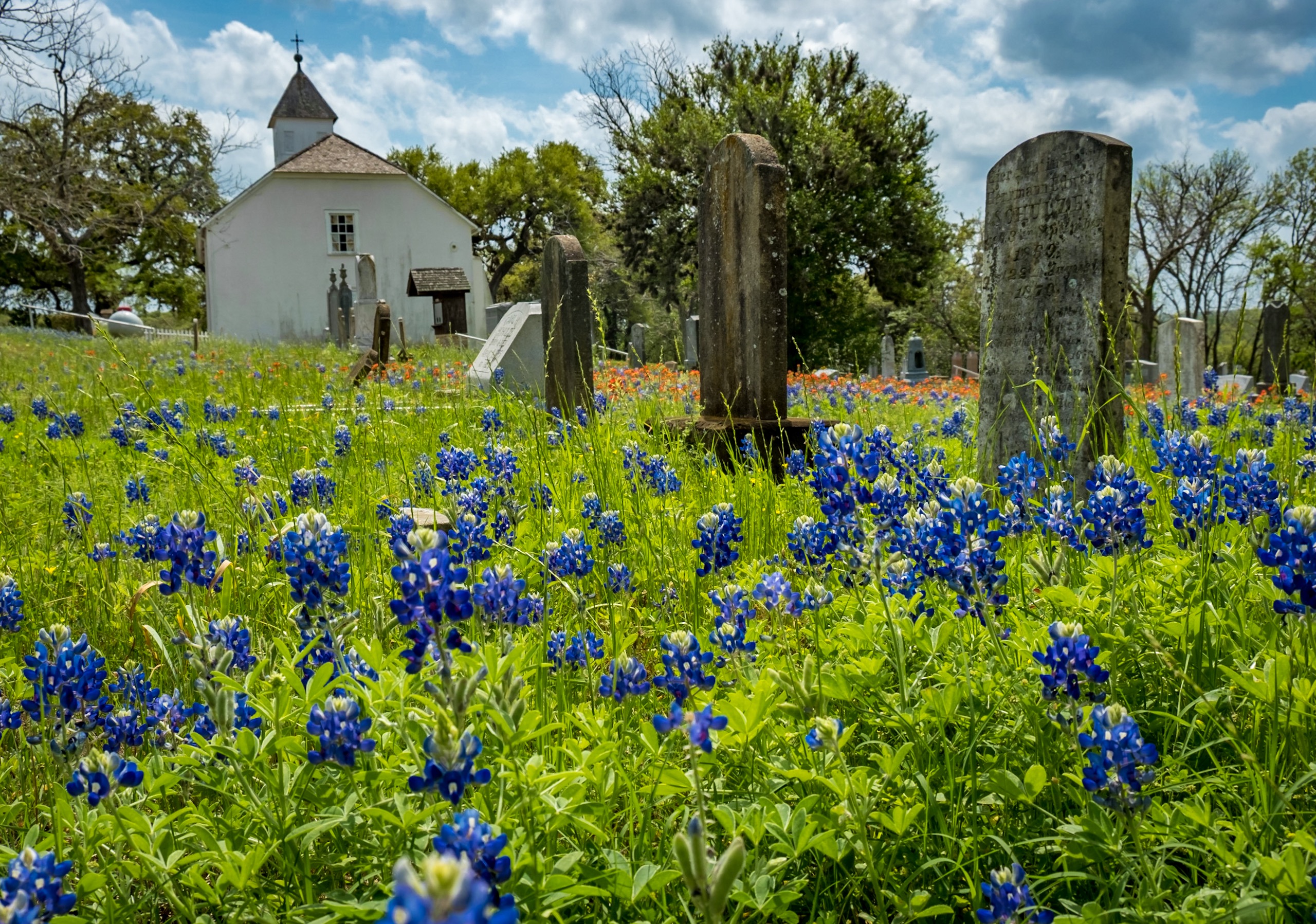
Round Top Church and Bluebonnets

2011-04-21 - La Bahia, TX - 6153

Trails - 5
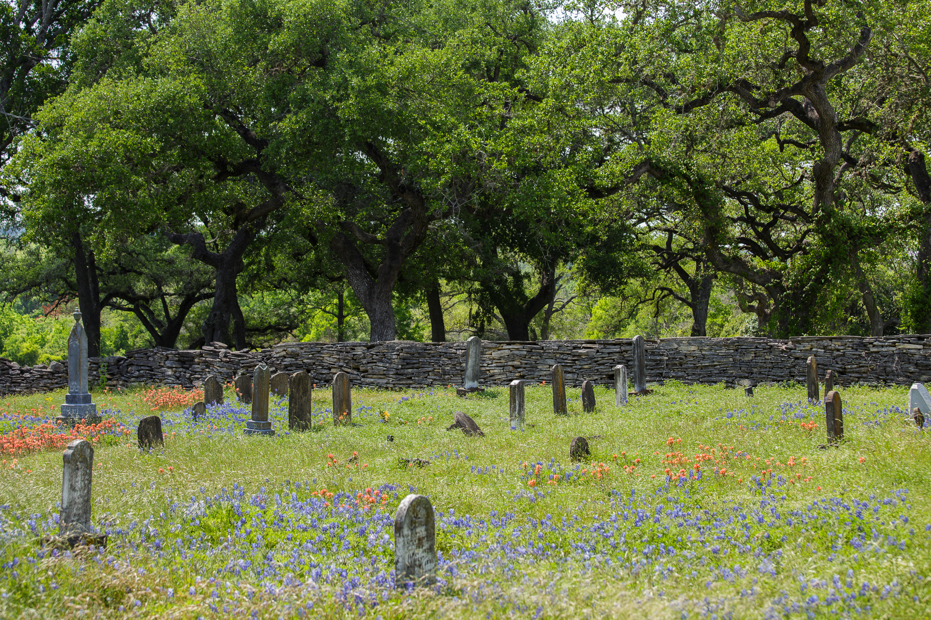
Graveyard, Round Top, TX
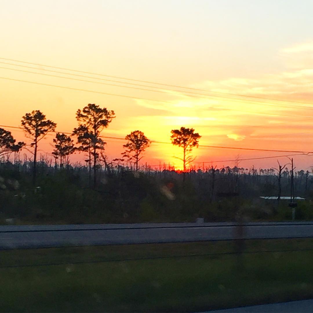
Good morning from Round Top, Texas! I hope your Easter weekend is as lovely as this morning's sunrise!
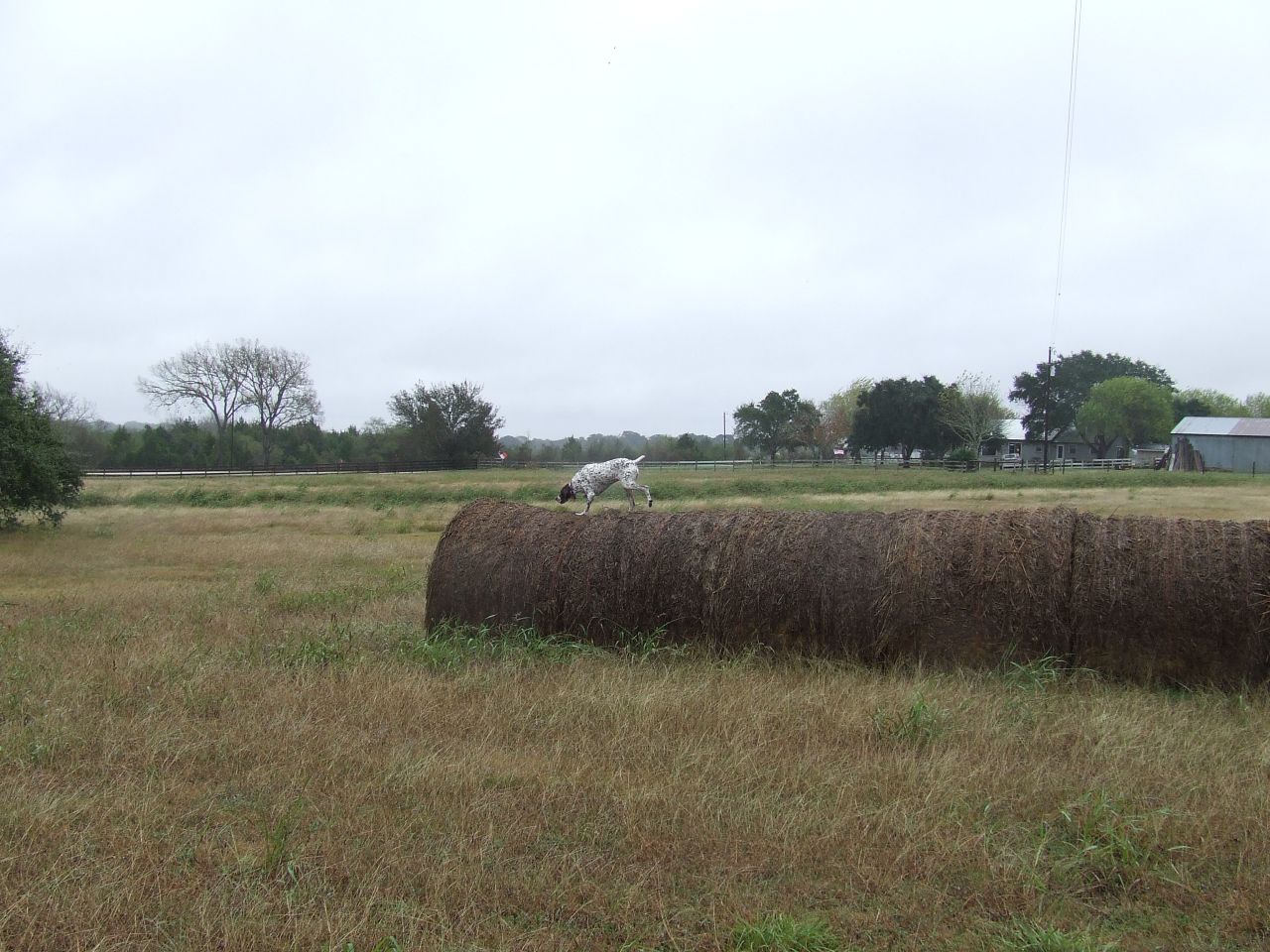
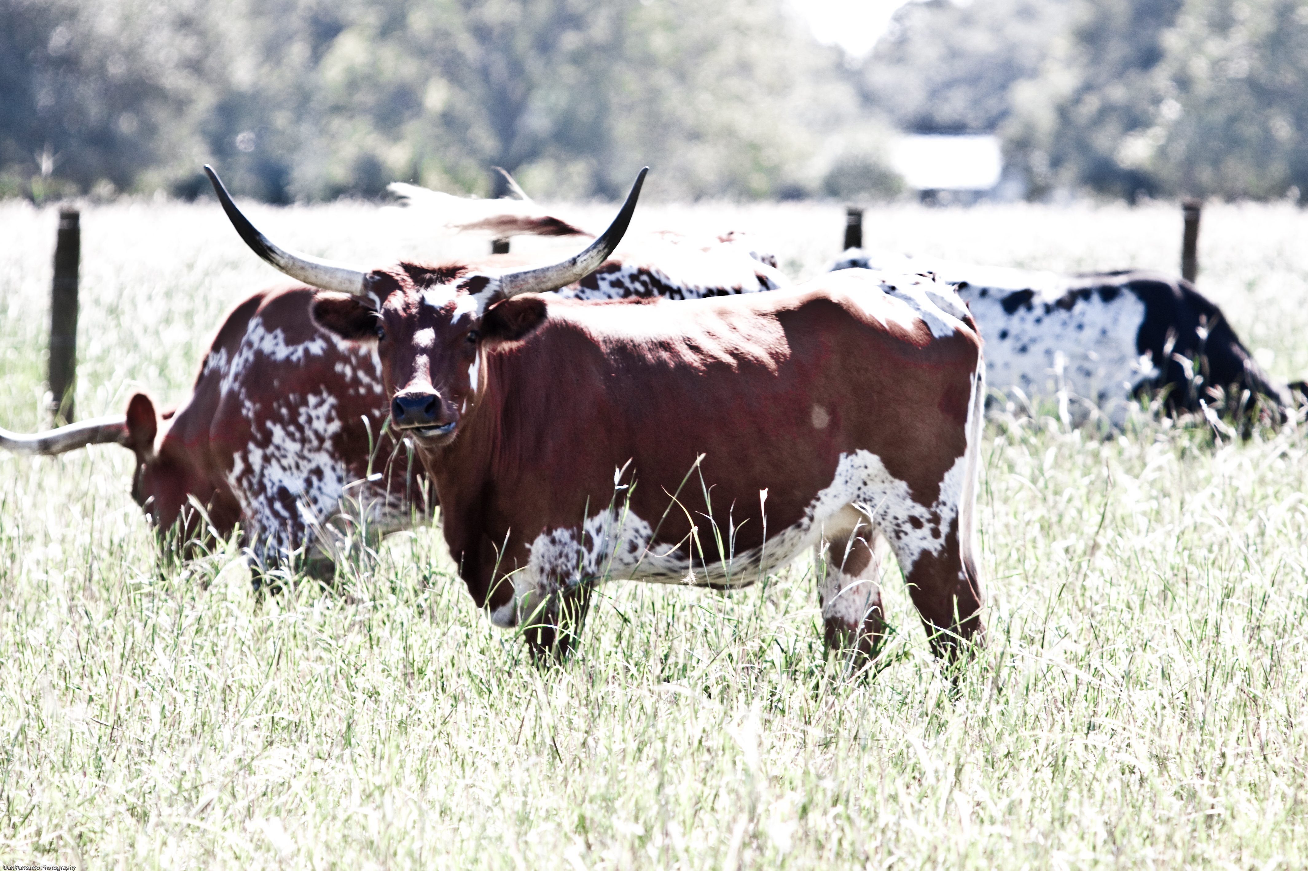
Lucy Showing Off
Topographic Map of Round Top Rd, Round Top, TX, USA
Find elevation by address:
Places near Round Top Rd, Round Top, TX, USA:
Round Top
509 N Live Oak St
1109 Jaster Rd
3012 Round Top Rd
717 Florida Chapel Rd
Marburger Lane
Walhalla
FM, Round Top, TX, USA
11400 Schuster Rd
11620 Schuster Rd
6614 Goehring Rd
6614 Goehring Rd
Ledbetter
Fm 389
1951 Bell Settlement Rd
FM, Ledbetter, TX, USA
Shelby
Willow Springs Road
1546 Willow Springs Rd
1546 Willow Springs Rd
Recent Searches:
- Elevation of 104, Chancery Road, Middletown Township, Bucks County, Pennsylvania, 19047, USA
- Elevation of 1212, Cypress Lane, Dayton, Liberty County, Texas, 77535, USA
- Elevation map of Central Hungary, Hungary
- Elevation map of Pest, Central Hungary, Hungary
- Elevation of Pilisszentkereszt, Pest, Central Hungary, Hungary
- Elevation of Dharamkot Tahsil, Punjab, India
- Elevation of Bhinder Khurd, Dharamkot Tahsil, Punjab, India
- Elevation of 2881, Chabot Drive, San Bruno, San Mateo County, California, 94066, USA
- Elevation of 10370, West 107th Circle, Westminster, Jefferson County, Colorado, 80021, USA
- Elevation of 611, Roman Road, Old Ford, Bow, London, England, E3 2RW, United Kingdom
- Elevation of 116, Beartown Road, Underhill, Chittenden County, Vermont, 05489, USA
- Elevation of Window Rock, Colfax County, New Mexico, 87714, USA
- Elevation of 4807, Rosecroft Street, Kempsville Gardens, Virginia Beach, Virginia, 23464, USA
- Elevation map of Matawinie, Quebec, Canada
- Elevation of Sainte-Émélie-de-l'Énergie, Matawinie, Quebec, Canada
- Elevation of Rue du Pont, Sainte-Émélie-de-l'Énergie, Matawinie, Quebec, J0K2K0, Canada
- Elevation of 8, Rue de Bécancour, Blainville, Thérèse-De Blainville, Quebec, J7B1N2, Canada
- Elevation of Wilmot Court North, 163, University Avenue West, Northdale, Waterloo, Region of Waterloo, Ontario, N2L6B6, Canada
- Elevation map of Panamá Province, Panama
- Elevation of Balboa, Panamá Province, Panama