Elevation of Roman Ct, Santa Clarita, CA, USA
Location: United States > California > Los Angeles County > Santa Clarita >
Longitude: -118.47656
Latitude: 34.4426092
Elevation: 485m / 1591feet
Barometric Pressure: 96KPa
Elevation Map:
Satellite Map:
Related Photos:

"i am always wandering around in enigmas." -m.c. escher

"i am always wandering around in enigmas." -m.c. escher [v2.0]

Vasquez Rocks on a Blood Moon Night

Down Town L. A. From Oat Mountain

1ST RAIN IN 6 MONTHS (EXPLORE 2014 Nov 7)

November 3, 2018
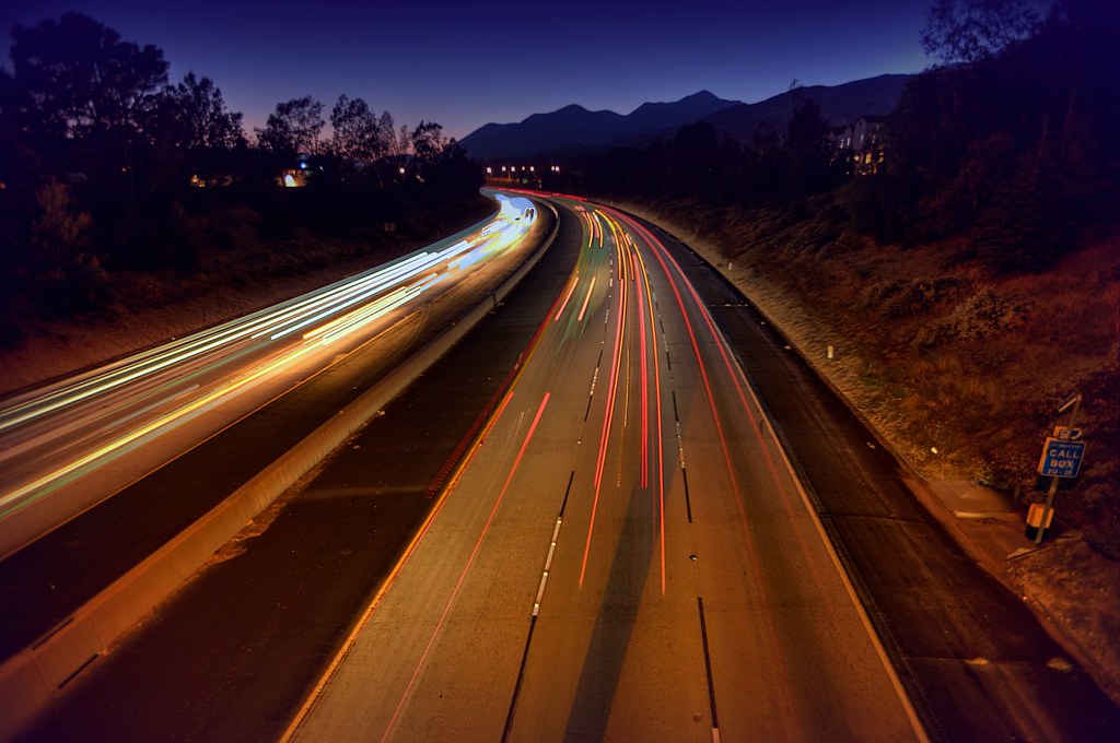
The Santa Clarita Curve
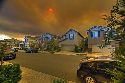
Canyon Country Fire, Santa Clarita, California

Self-Portrait [Diptych]
Canyon Country

no campfires. soledad canyon, ca. 2012.

"the safe way to go and the sure way to get there" | sylmar, ca
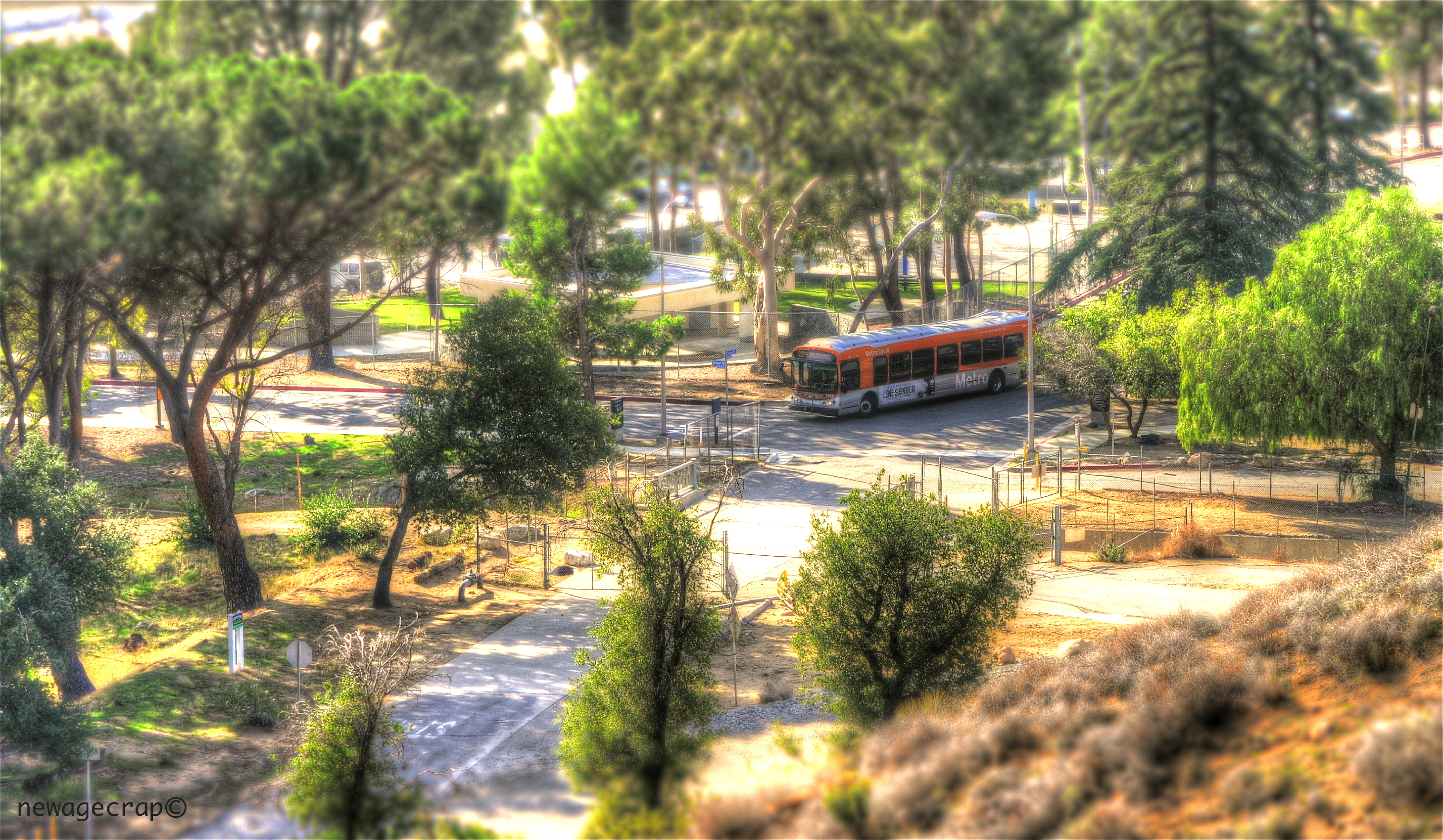
LA Metro Bus

Stranger # 2 (Mohammad)
6/365

353/365
Swap Meet Oak Tree

3D, Foghorn Leghorn's Barnyard Railway, Bugs Bunny World, Six Flags Magic Mountain, 26101 Magic Mountain Parkway, Valencia, California 91355, 2009.10.30 11:34
226/365
Pointing Clouds
Fuego - Aqua Dulce
2009-03-31_14-54-33_IMG_9408_q75_s10

A Path in Bouquet Canyon
Vasquez Rocks.

San Diego, CA Monochrome

That Obdurate Morning

Vasquez Rocks: Near Car Park

agua dulce rocks

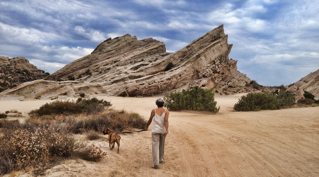
Vasquez Rocks

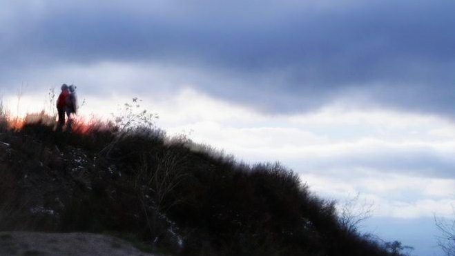
Haskell Canyon Open Space Sunrise

Miles the Boggle - Vasquez Rocks
There's so much to know
Sunday morning walk in Vasquez Rocks

2013-03-28 Vasquez Rocks Park in Aqua Dulce, CA
Tapia Canyon Bike Park
iPhone Hiking

2013-03-28 Vasquez Rocks Park in Aqua Dulce, CA

Upper Placerita Canyon
Today's office.
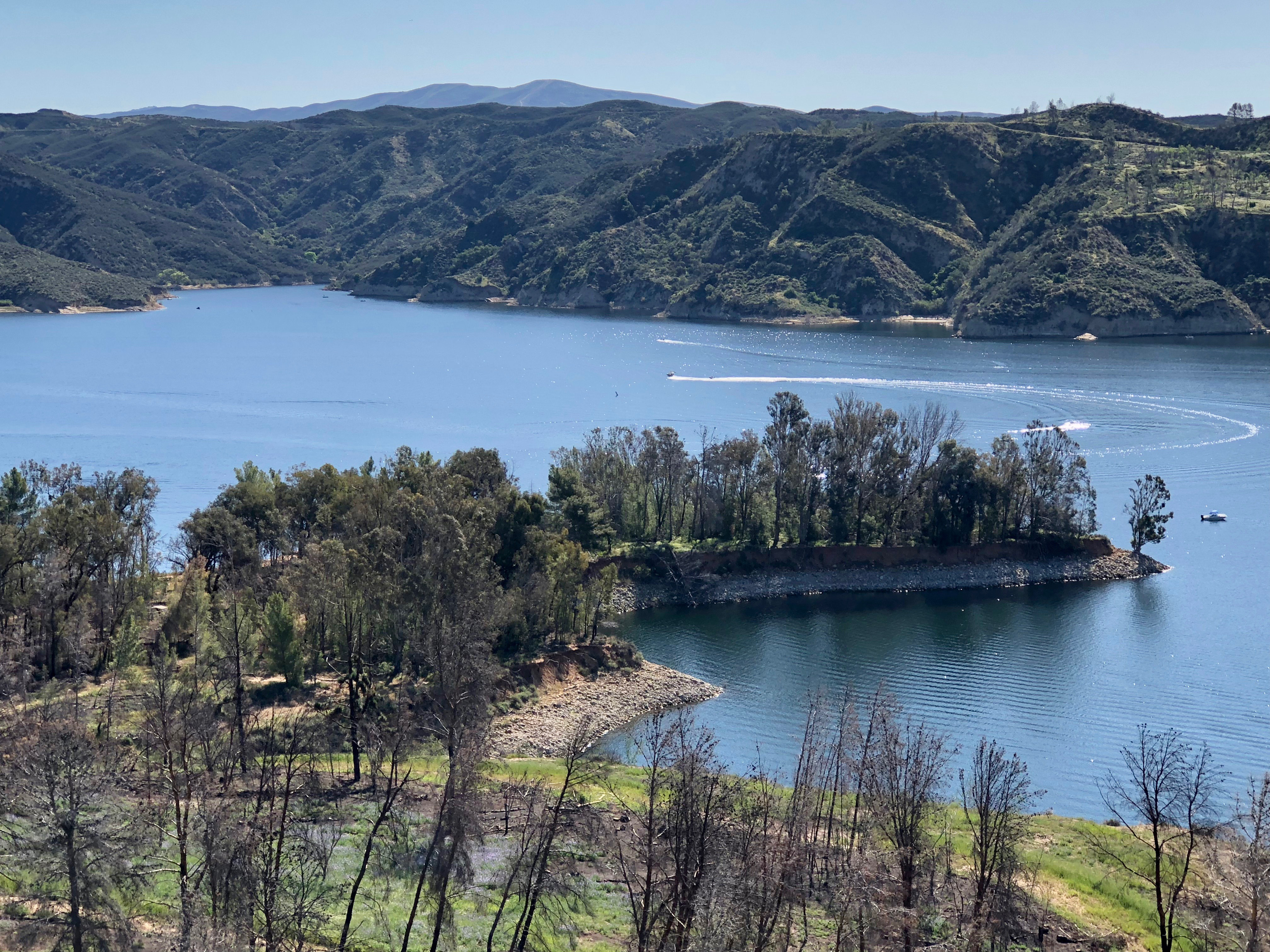
Castaic Lake
Topographic Map of Roman Ct, Santa Clarita, CA, USA
Find elevation by address:

Places near Roman Ct, Santa Clarita, CA, USA:
19720 Castille Ln
27916 Hardesty Ave
20000 Drasin Dr
20203 Ermine St
19508 Four Oaks St
20110 Canyon View Dr
Grayson Drive
Flo Lane
Claudette St, Santa Clarita, CA, USA
Soledad Street
Canyon Country Villas
Pep Boys Auto Parts & Service
Power Generation Enterprises | Industrial Diesel Generators
20031 Egret Pl
Sunrise Summit Drive
Golden Valley Road
19712 May Way
21679 Allison Dr
Saugus High School
Walmart Supercenter
Recent Searches:
- Elevation of Corso Fratelli Cairoli, 35, Macerata MC, Italy
- Elevation of Tallevast Rd, Sarasota, FL, USA
- Elevation of 4th St E, Sonoma, CA, USA
- Elevation of Black Hollow Rd, Pennsdale, PA, USA
- Elevation of Oakland Ave, Williamsport, PA, USA
- Elevation of Pedrógão Grande, Portugal
- Elevation of Klee Dr, Martinsburg, WV, USA
- Elevation of Via Roma, Pieranica CR, Italy
- Elevation of Tavkvetili Mountain, Georgia
- Elevation of Hartfords Bluff Cir, Mt Pleasant, SC, USA