Elevation map of Rogaland, Norway
Location: Norway >
Longitude: 6.0143431
Latitude: 59.1489544
Elevation: 0m / 0feet
Barometric Pressure: 101KPa
Elevation Map:
Satellite Map:
Related Photos:

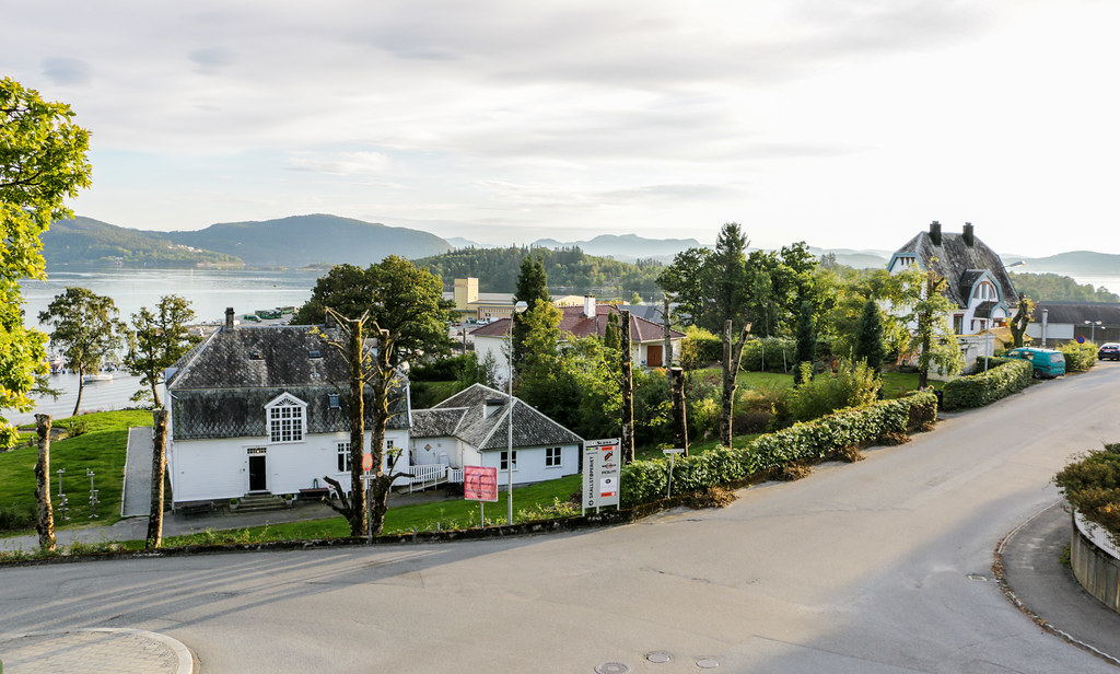
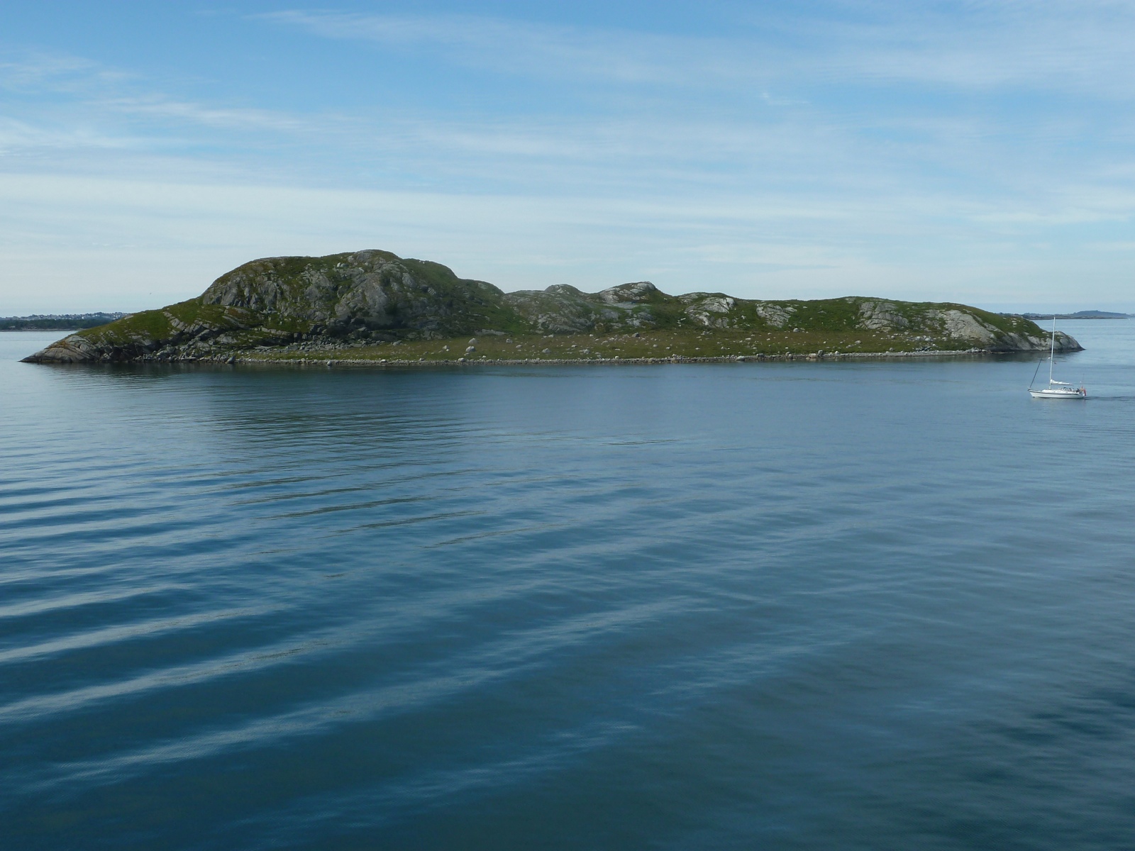
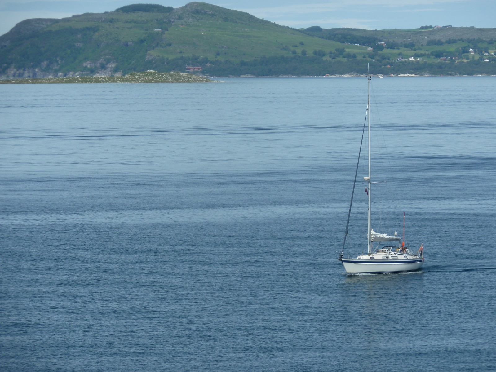
View from Talgje, Finnøy, Norway
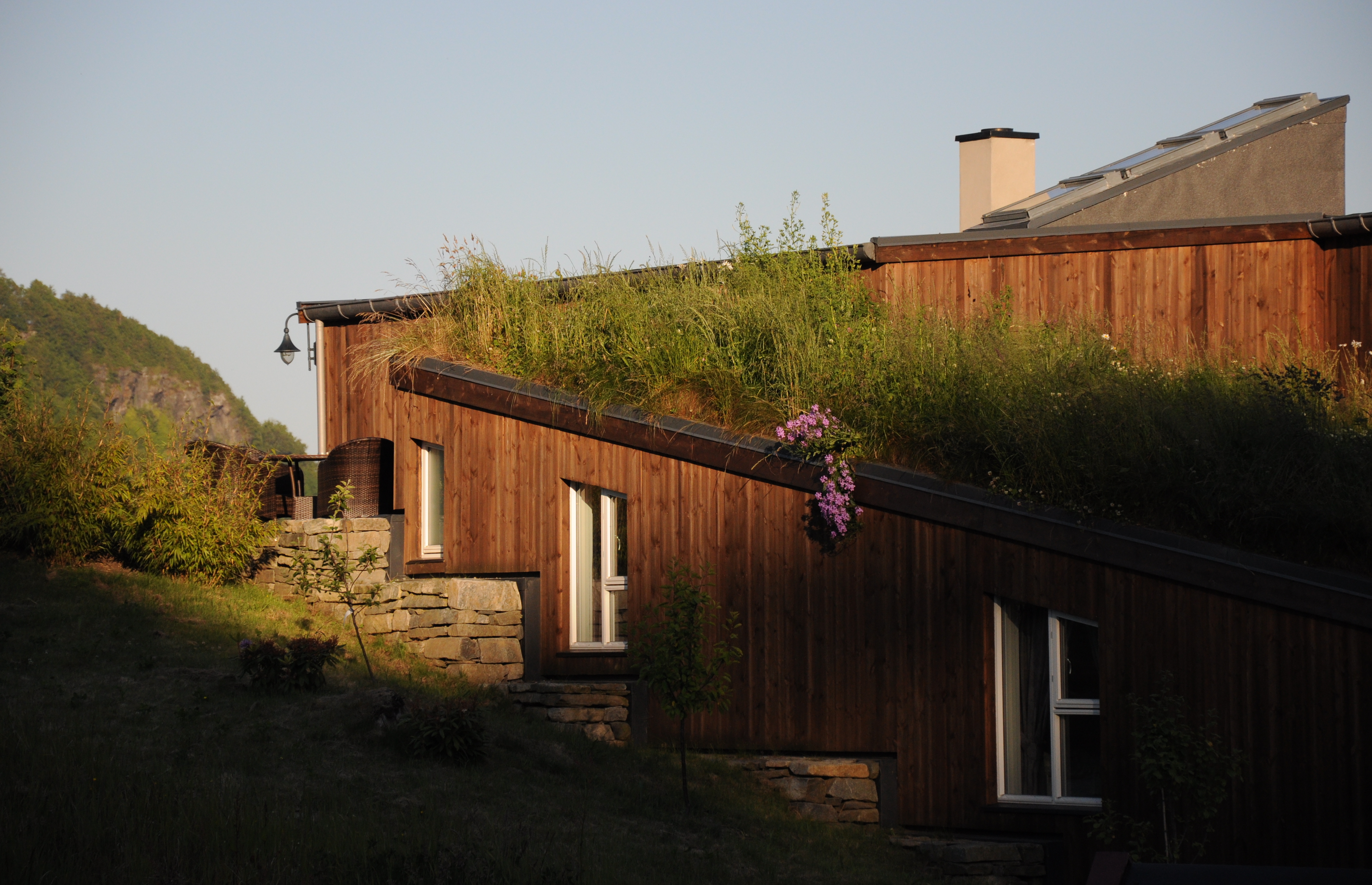
Ready to watch the grass grow

Sjernarøy Sommermåltid: Øl Krabbe Reker Blåskjell og Laks

Two glasses of Red Wine
_Norway 20120806-063829-1058
Jørpeland, Norway
Jørpeland
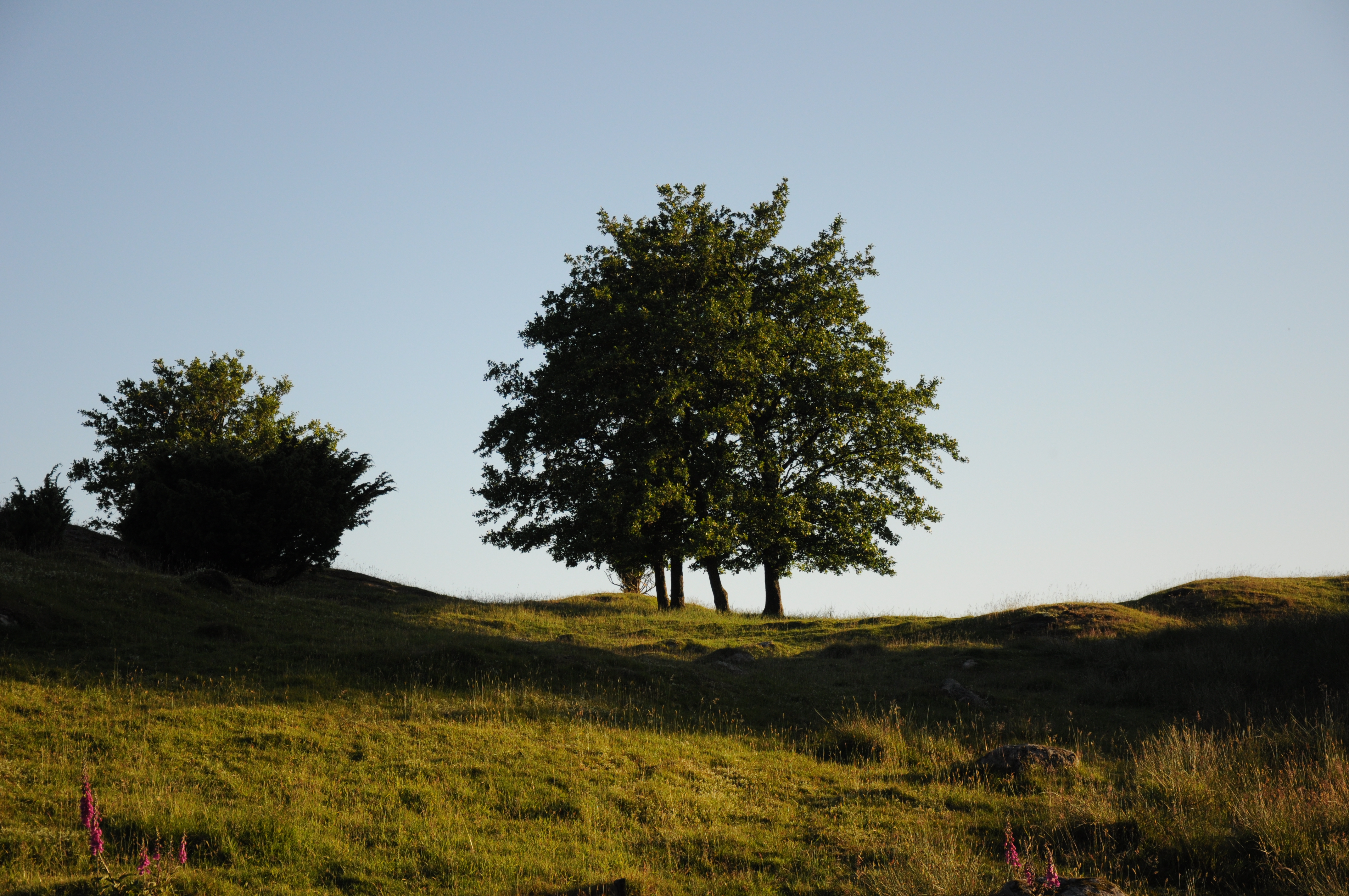
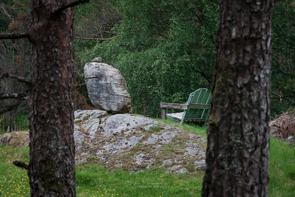
Tree Skyline
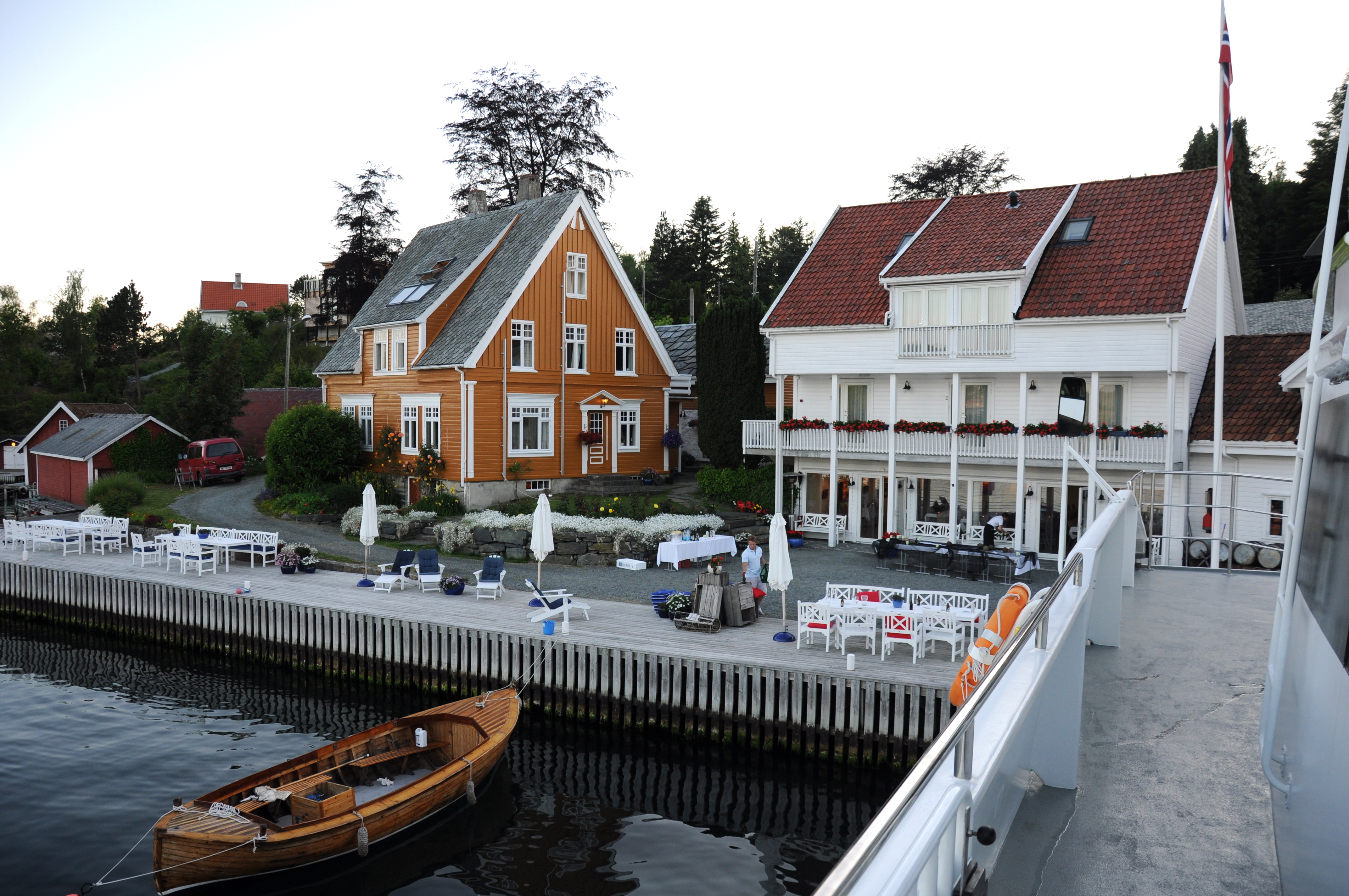
Sjernarøy, our teambuilding destination
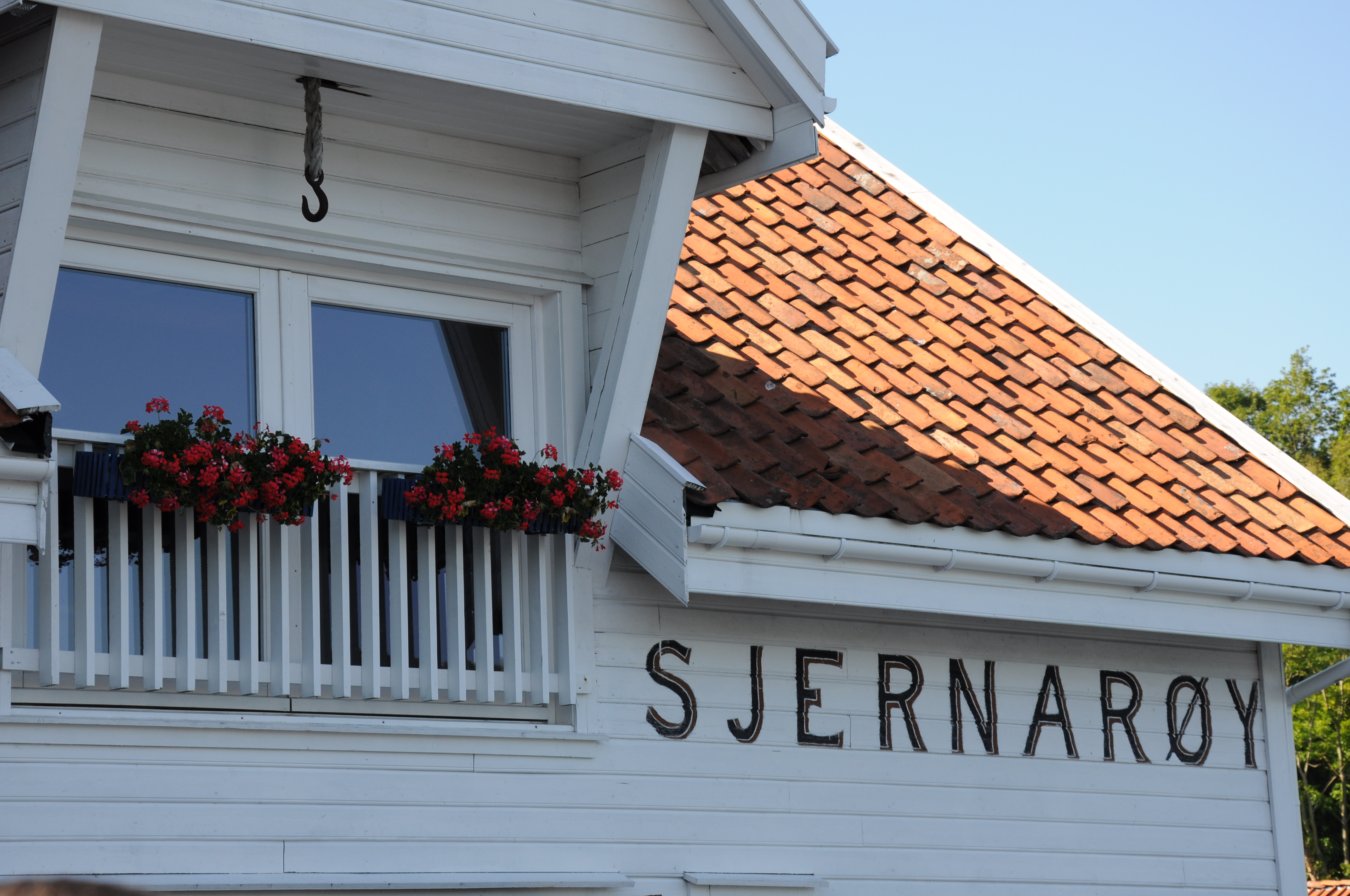
Sjernarøy
_Norway 20120806-063501-1050
Cool wooden cottage
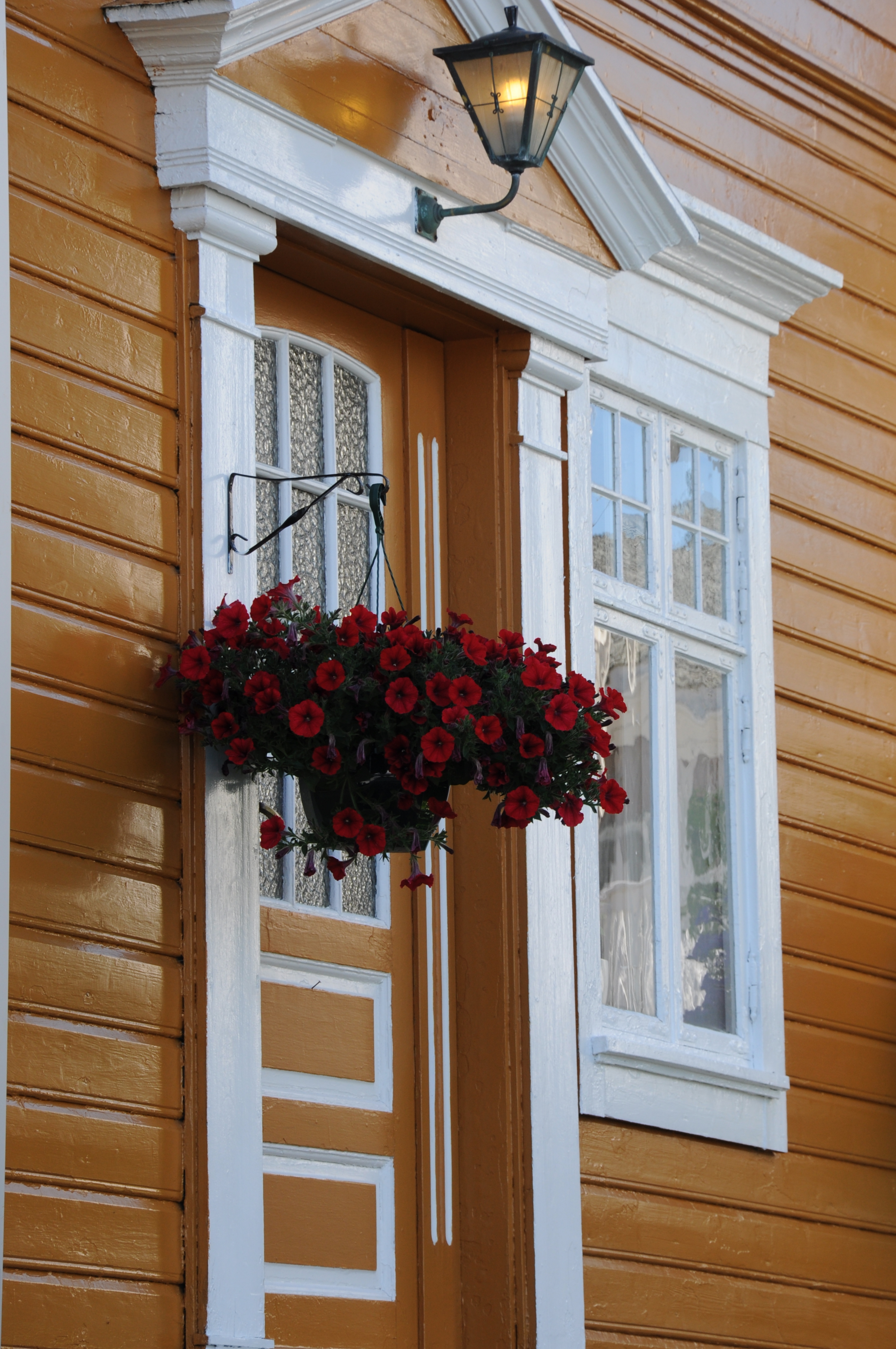
Yellow door

View from the tent #camping #tau #norway #lysefjord #wathne #holiday
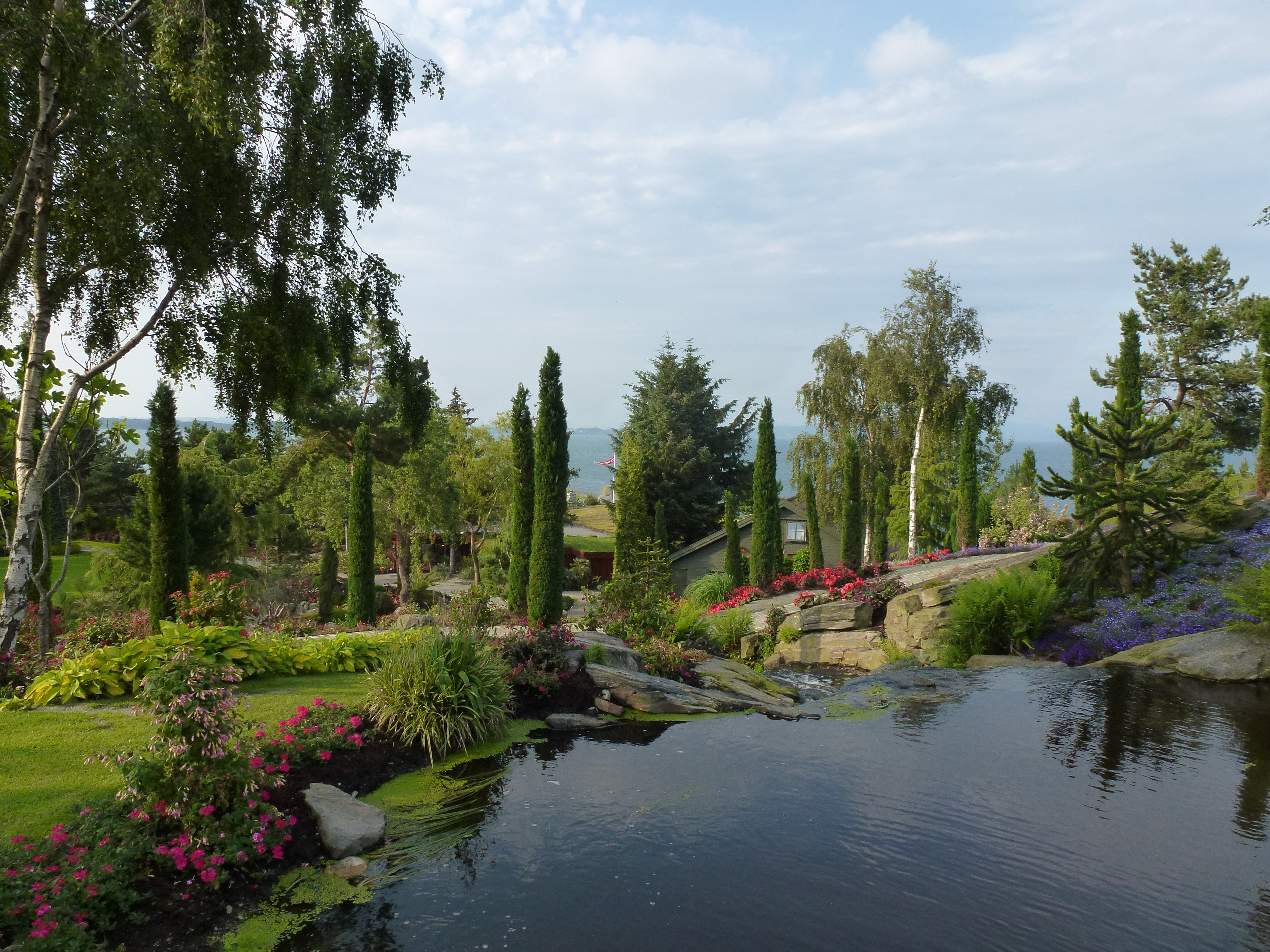
Garden View
View From Our Room
Preikestolen - Hostel, Ferry & Stavanger
_Norway 20120806-063815-1057
_Norway 20120806-063700-1056
_Norway 20120806-063654-1055
Preikestolen - Hostel, Ferry & Stavanger
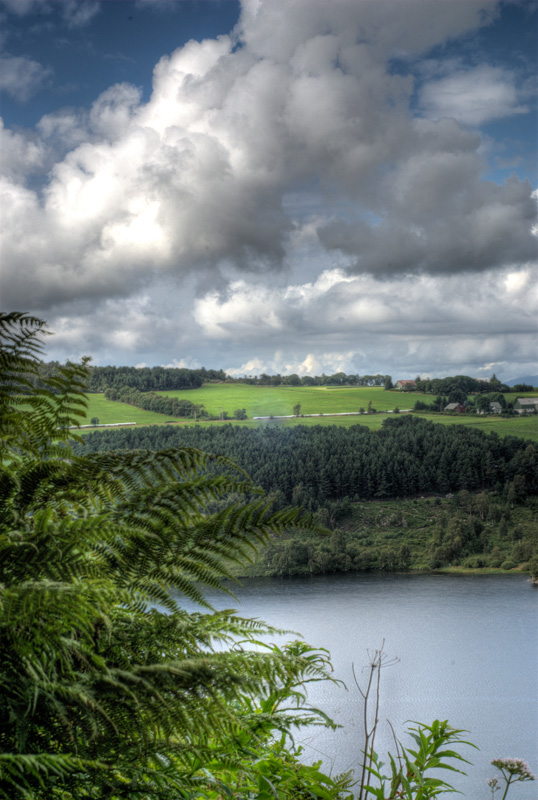
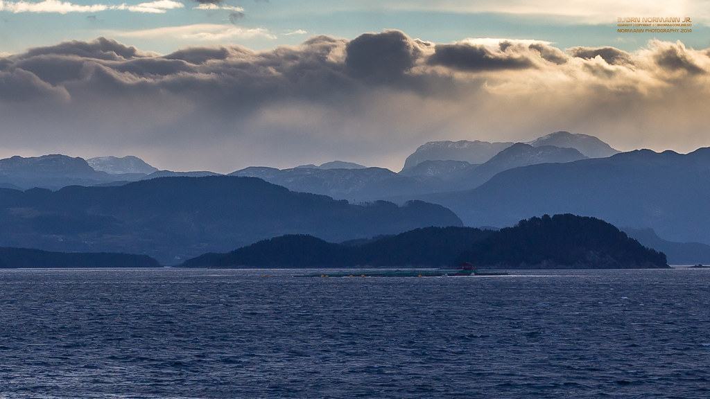
Ryfylke landscapes I
Last rays of Day...
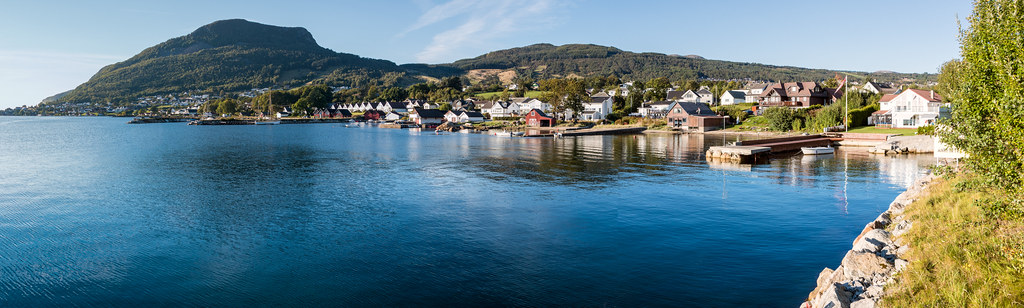
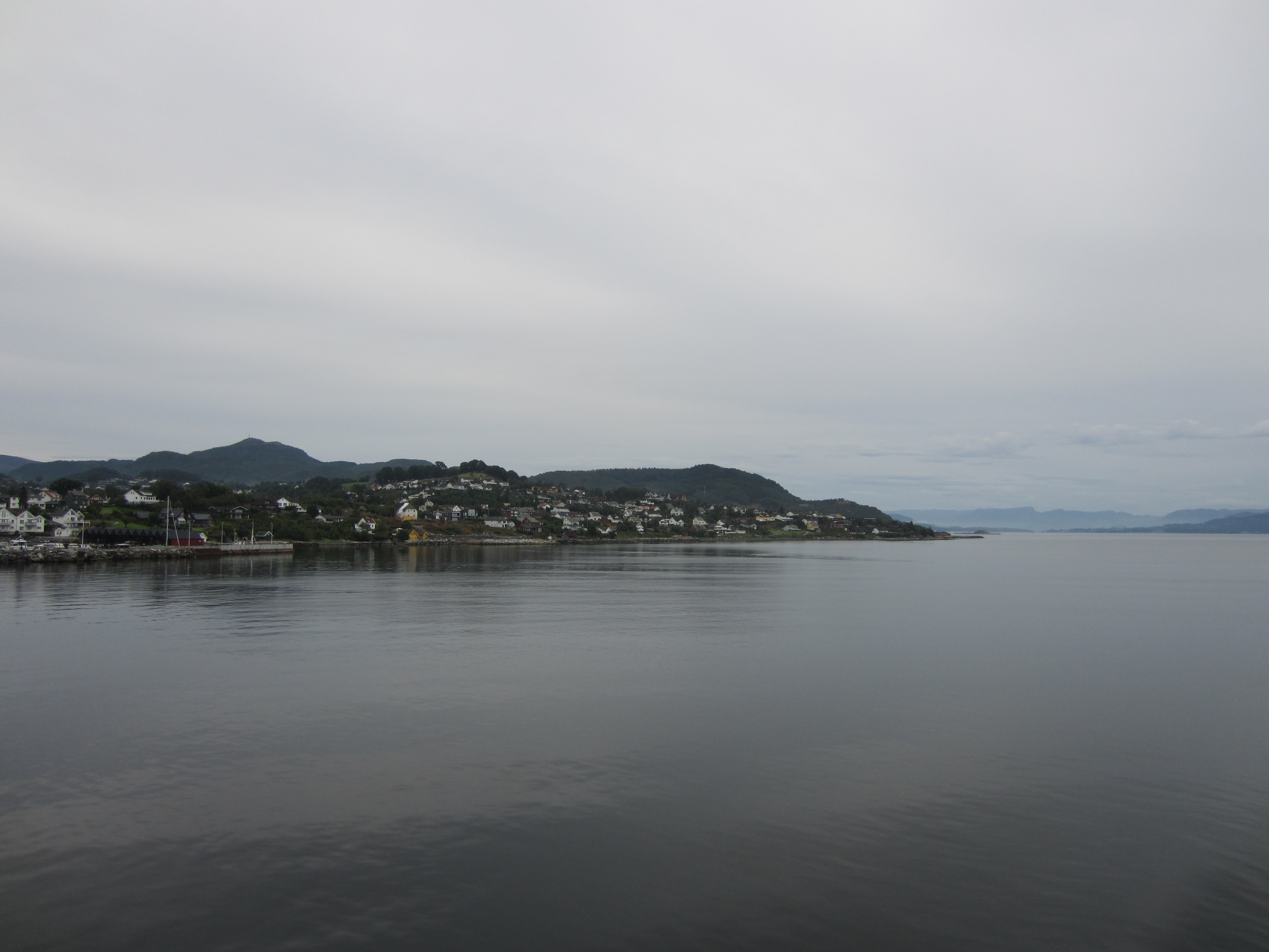
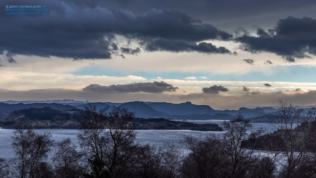
Boknafjorden II
on my back
Ryfylke landscapes II

Ambivalent weather
Fresh start at Finnøy
to the sky
Layers of Ryfylke
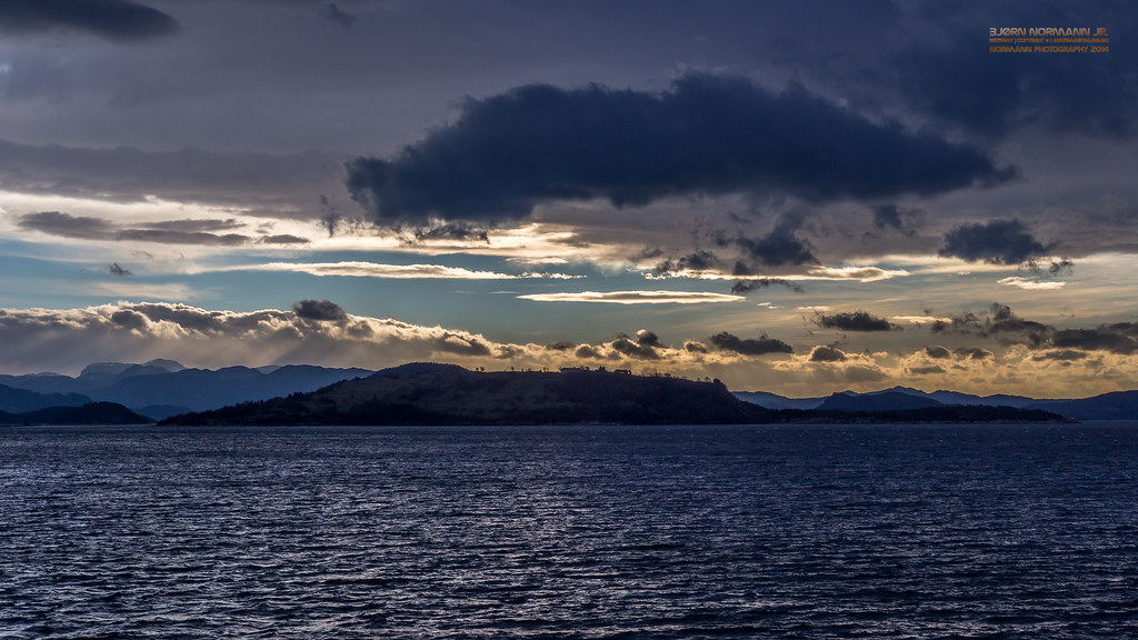
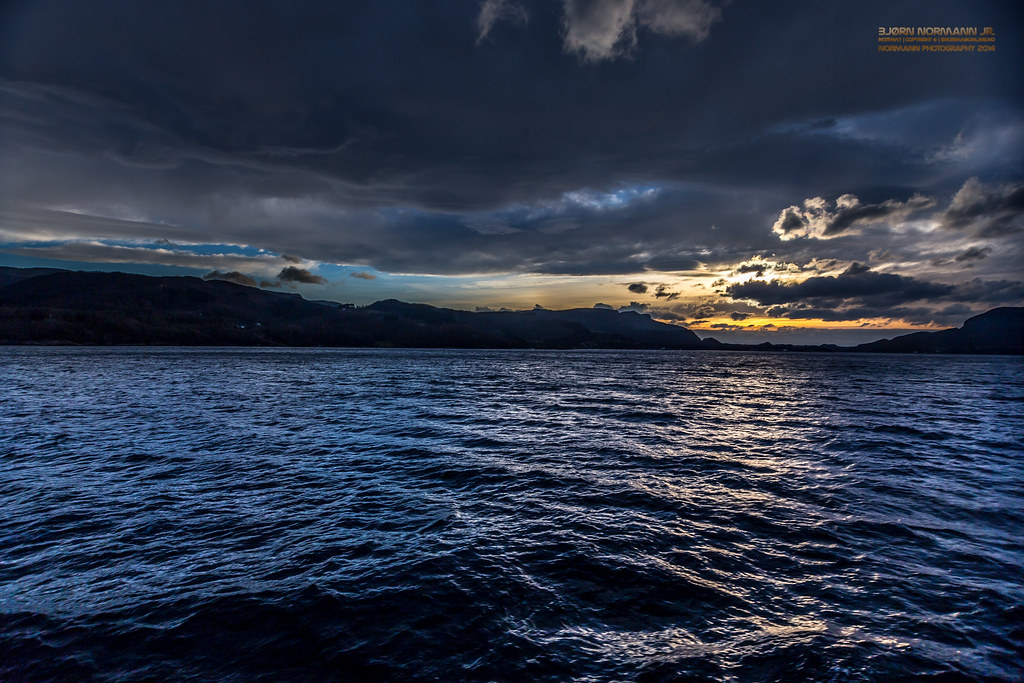
Boknafjorden IV
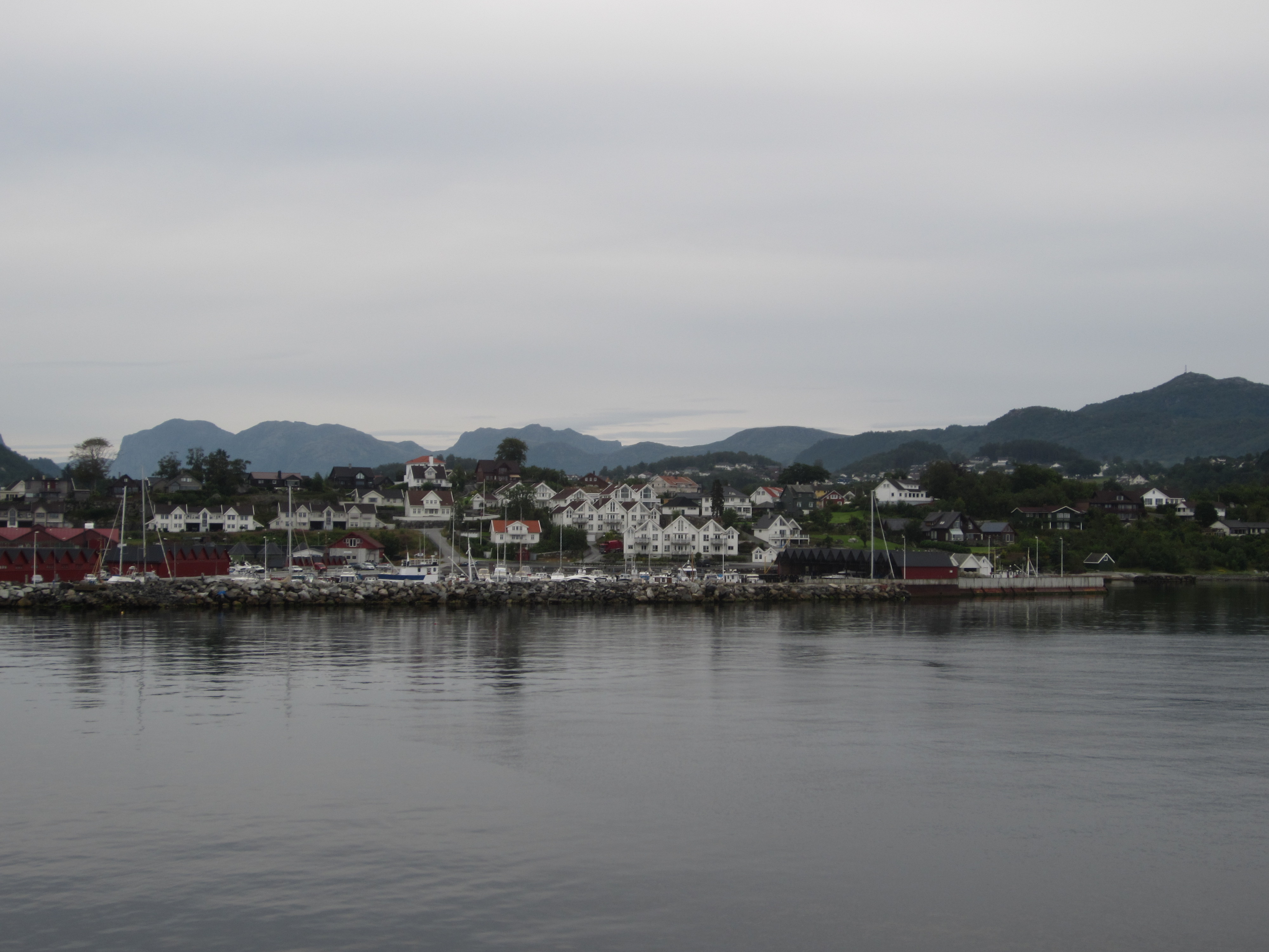
Boknafjorden III
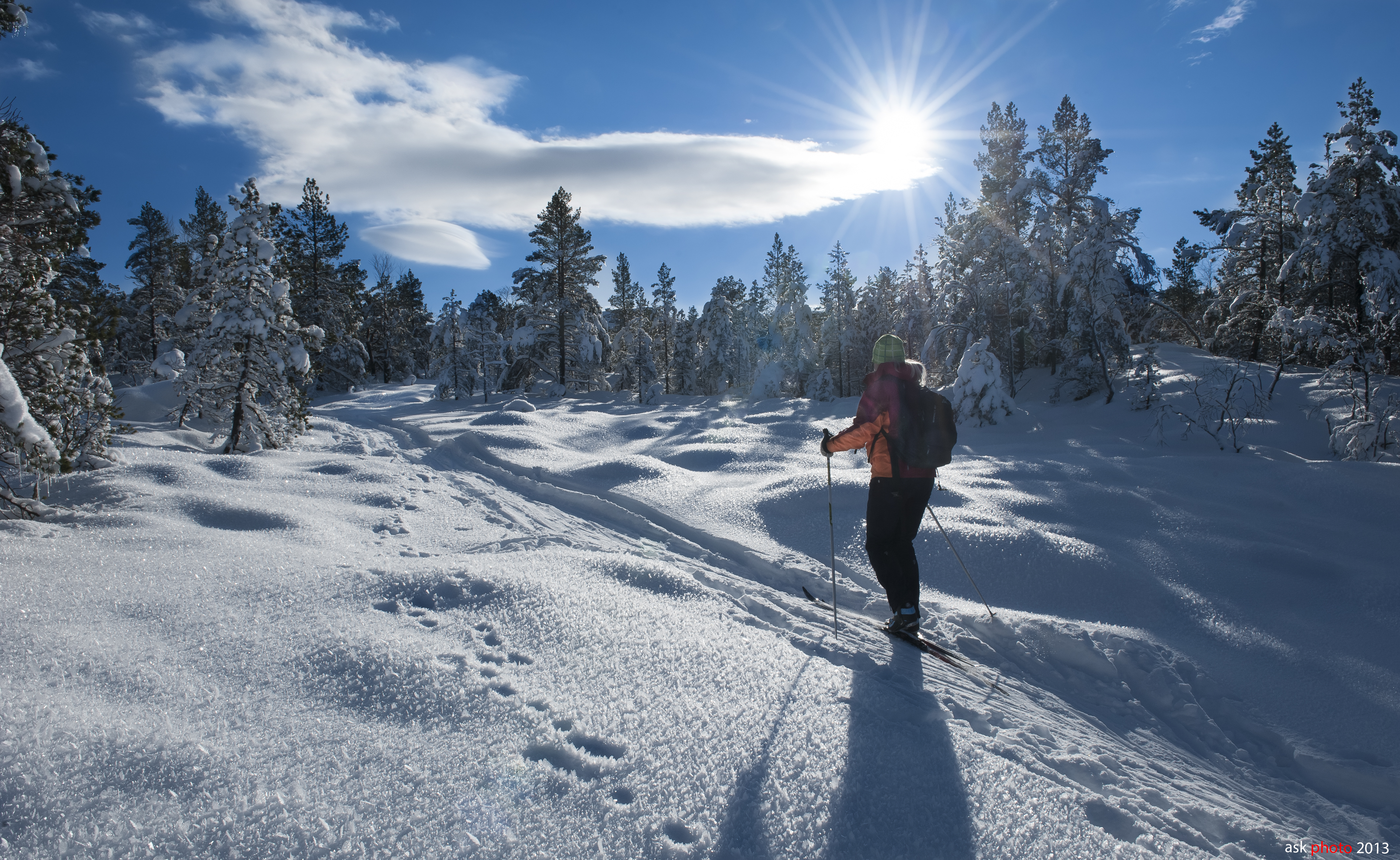
The hare´s footsteps...
be lost
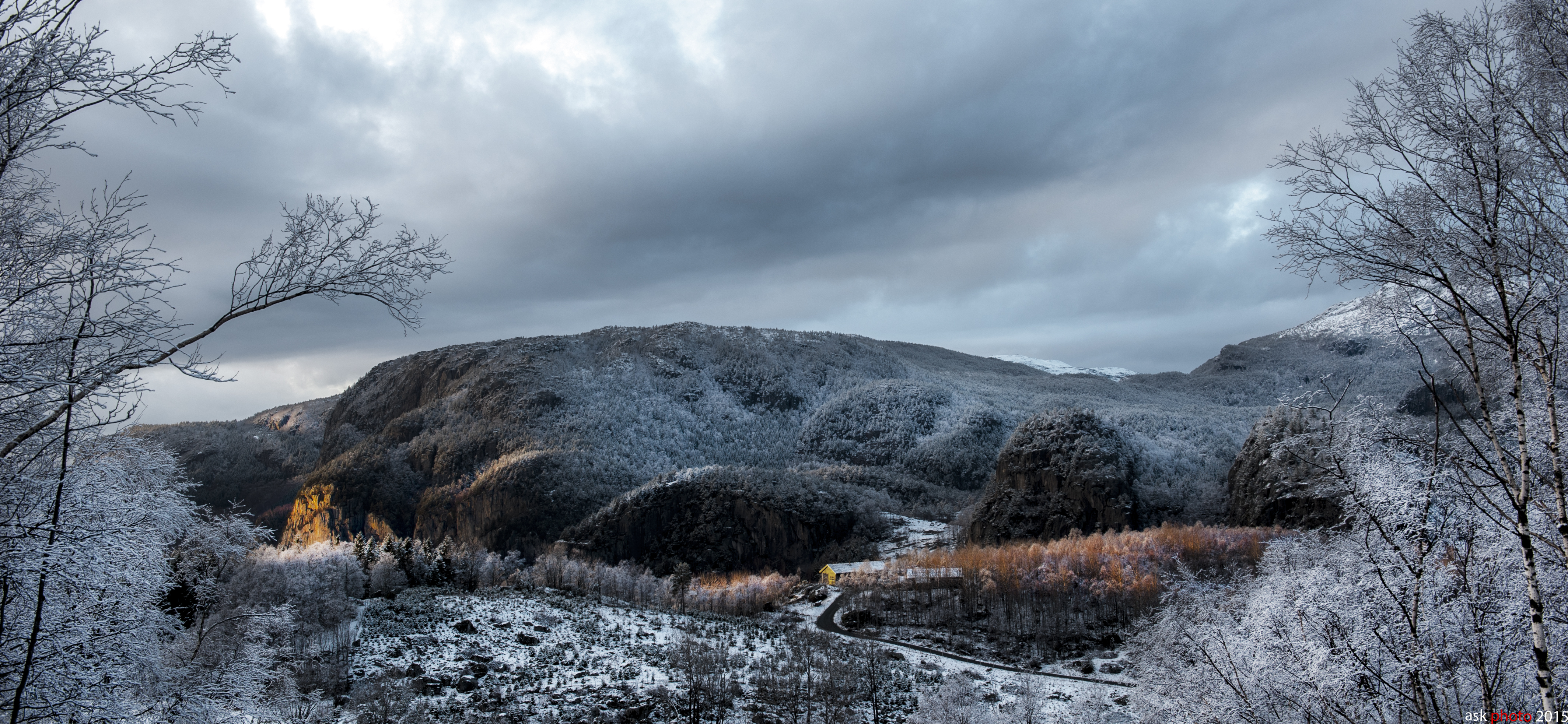
Ryfylke landscapes III
Boknafjorden V
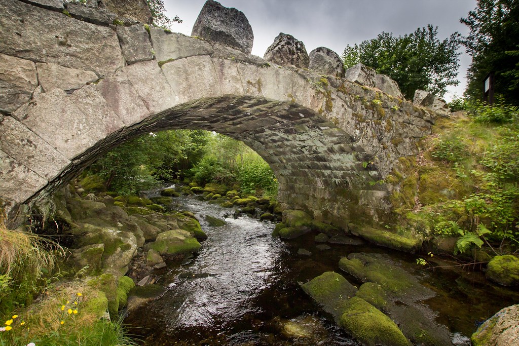
The Creek and the Stone Bridge

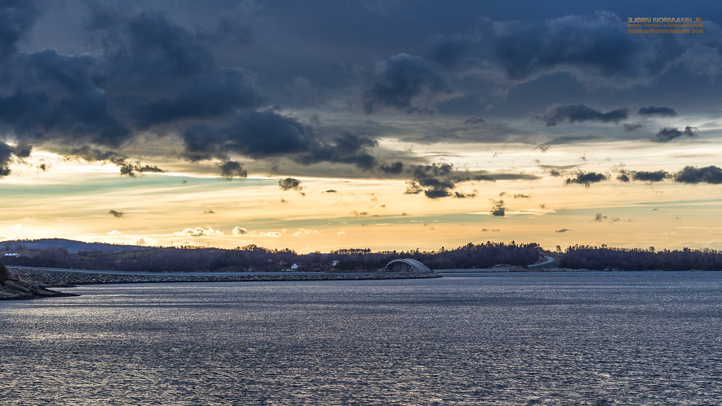
HDR at the seaside
Hauske rasteplass
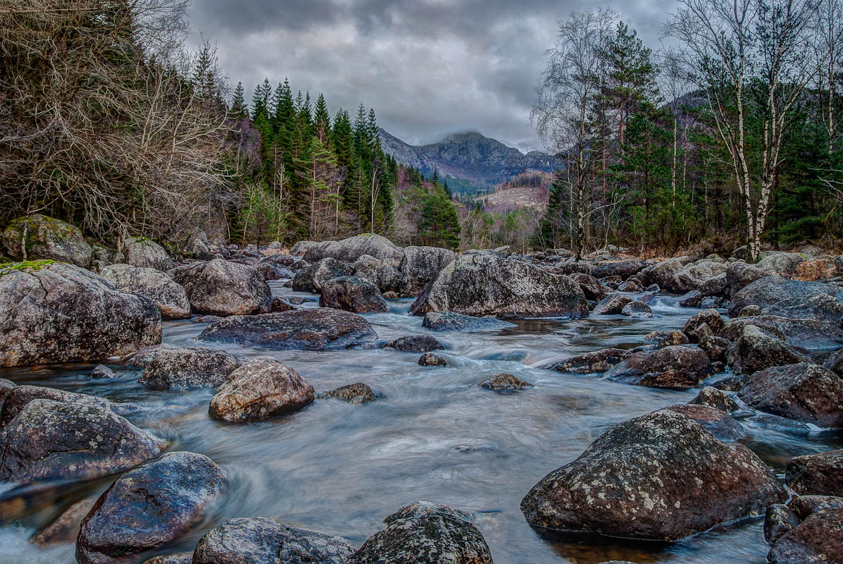
Flowing River
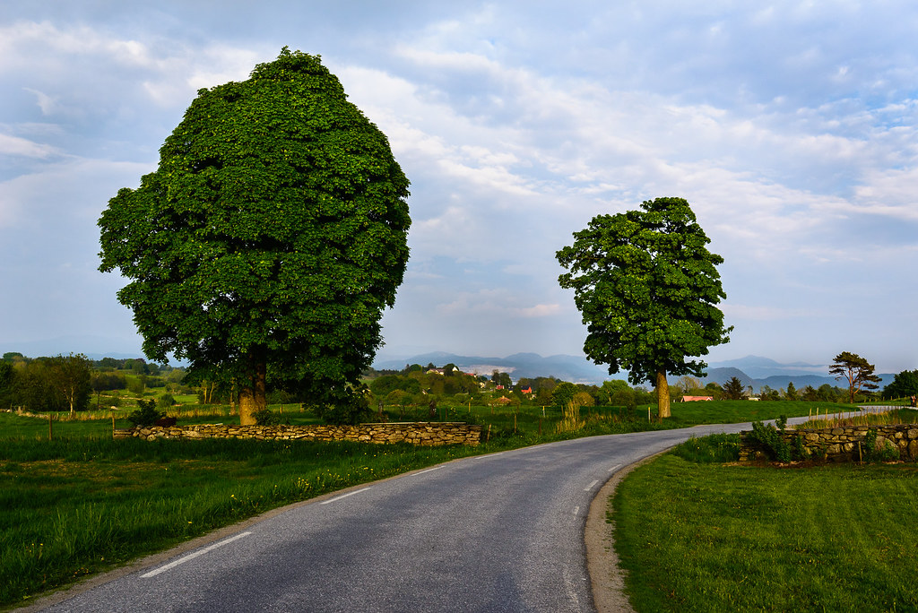
Tre trær, en vei.... (Three trees, one road....)
Topographic Map of Rogaland, Norway
Find elevation by address:

Places in Rogaland, Norway:
Sandnes
Stavanger
Gjesdal
Sokndal
Vindafjord
Klepp
Karmøy
Forsand
Eigersund
Strand
Hjelmeland
Finnøy
Hå
Lund
Bjerkreim
Sola
Randaberg
Suldal
Haugesund
Tysvær
Time
Kvitsøy
Tananger
Bryne
Sevlandsvik
Skjerabekken
Places near Rogaland, Norway:
Skartveit
Fv 40, Skartveit, Norway
Fv, Fogn, Norway
Fv, Hjelmeland, Norway
Finnøy
Fv 10, Hebnes, Norway
Fv 30, Årdal i Ryfylke, Norway
Ørnes
Rv46, Sandeid, Norway
Hjelmeland
Vindafjord
Bjoavegen 50, Bjoa, Norway
Rv 20, Sæbøvik, Norway
Rv, Sæbøvik, Norway
Onarheimsvegen, Husnes, Norway
Hauglandsvegen, Uskedalen, Norway
Kvinnherad
Kjerlandssido, Uskedalen, Norway
Fjæra
Suldal
Recent Searches:
- Elevation of Corso Fratelli Cairoli, 35, Macerata MC, Italy
- Elevation of Tallevast Rd, Sarasota, FL, USA
- Elevation of 4th St E, Sonoma, CA, USA
- Elevation of Black Hollow Rd, Pennsdale, PA, USA
- Elevation of Oakland Ave, Williamsport, PA, USA
- Elevation of Pedrógão Grande, Portugal
- Elevation of Klee Dr, Martinsburg, WV, USA
- Elevation of Via Roma, Pieranica CR, Italy
- Elevation of Tavkvetili Mountain, Georgia
- Elevation of Hartfords Bluff Cir, Mt Pleasant, SC, USA