Elevation of Rod. Fernão Dias, Lavras - MG, -, Brazil
Location: Brazil > State Of Minas Gerais > Lavras >
Longitude: -45.166600
Latitude: -21.324065
Elevation: 829m / 2720feet
Barometric Pressure: 92KPa
Elevation Map:
Satellite Map:
Related Photos:

view o' mine
untouched hearts and photos :)
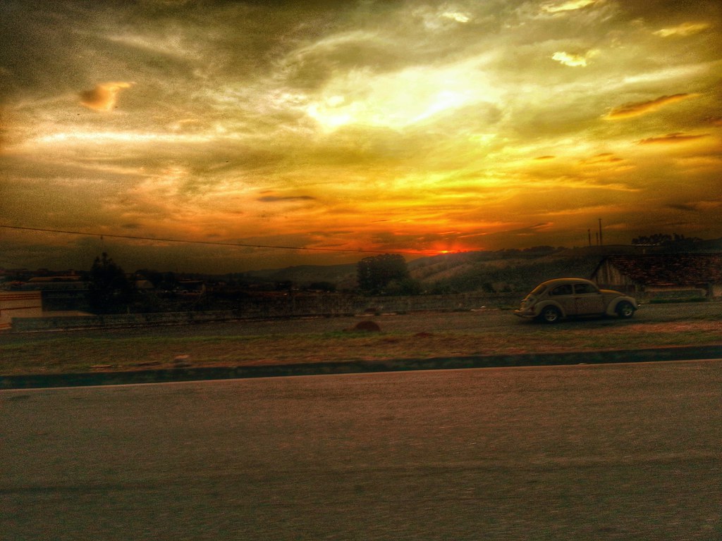
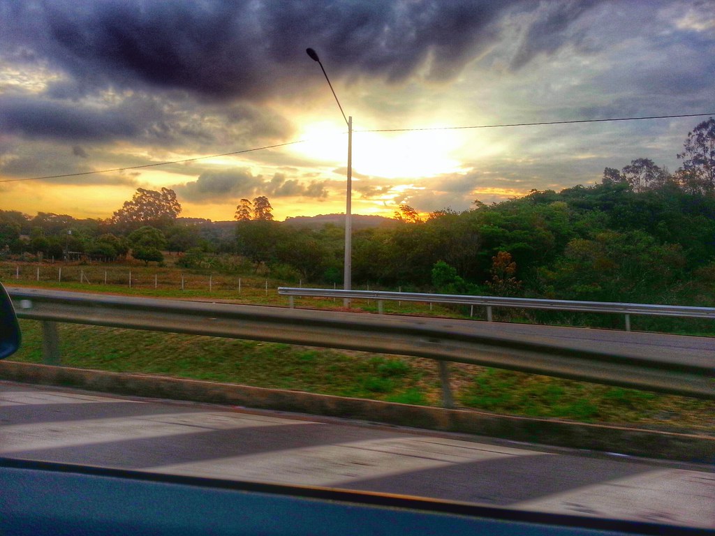
when the sun goes down
like gold
Corpus Christi Carmo da Cachoeira 2013 1
out of control

waiting for you
a porteira
pause to breathe
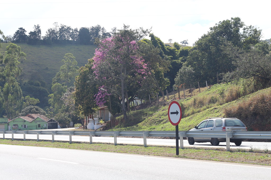
My Road

some miracles

Ipê-amarelo

Ipê-amarelo
the other side
#Tiradentes #estradareal #festivaldefotografia
oFuscante :)
some coincidences in life

keep on moving

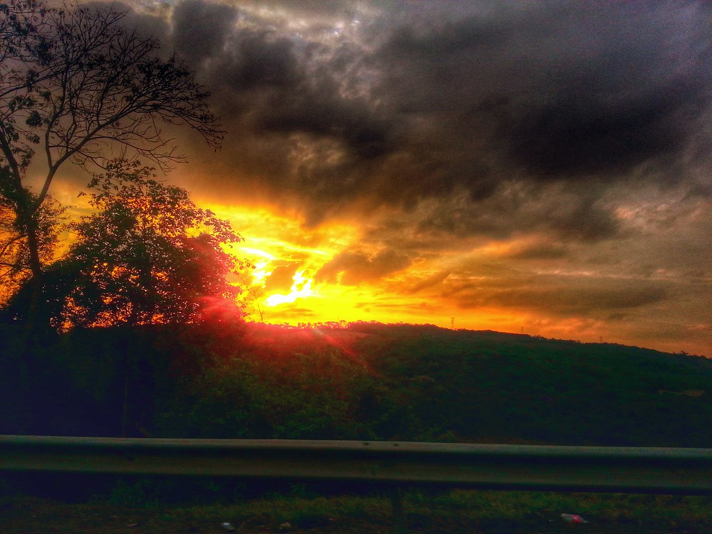
angry sunsets

something like this

just light
flashy days
Topographic Map of Rod. Fernão Dias, Lavras - MG, -, Brazil
Find elevation by address:

Places near Rod. Fernão Dias, Lavras - MG, -, Brazil:
Lavras
R. Luís Galvão, Carmo da Cachoeira - MG, -, Brazil
Jesuânia
R. Dr. Melo Viana, São Lourenço - MG, -, Brazil
São Lourenço
R. Sen. Bueno de Paiva, Caldas - MG, -, Brazil
Bueno Brandão
Bueno Brandão
Recent Searches:
- Elevation of Corso Fratelli Cairoli, 35, Macerata MC, Italy
- Elevation of Tallevast Rd, Sarasota, FL, USA
- Elevation of 4th St E, Sonoma, CA, USA
- Elevation of Black Hollow Rd, Pennsdale, PA, USA
- Elevation of Oakland Ave, Williamsport, PA, USA
- Elevation of Pedrógão Grande, Portugal
- Elevation of Klee Dr, Martinsburg, WV, USA
- Elevation of Via Roma, Pieranica CR, Italy
- Elevation of Tavkvetili Mountain, Georgia
- Elevation of Hartfords Bluff Cir, Mt Pleasant, SC, USA