Elevation of Lavras - State of Minas Gerais, Brazil
Location: Brazil > State Of Minas Gerais >
Longitude: -45.037317
Latitude: -21.265913
Elevation: 938m / 3077feet
Barometric Pressure: 91KPa
Elevation Map:
Satellite Map:
Related Photos:

52 weeks (3/52)

desires n conquests

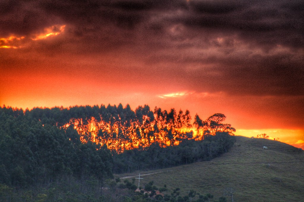
yellow boom
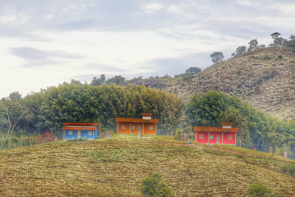
vizinhança colorida
Ribeirão Vermelho

Sprouted corn
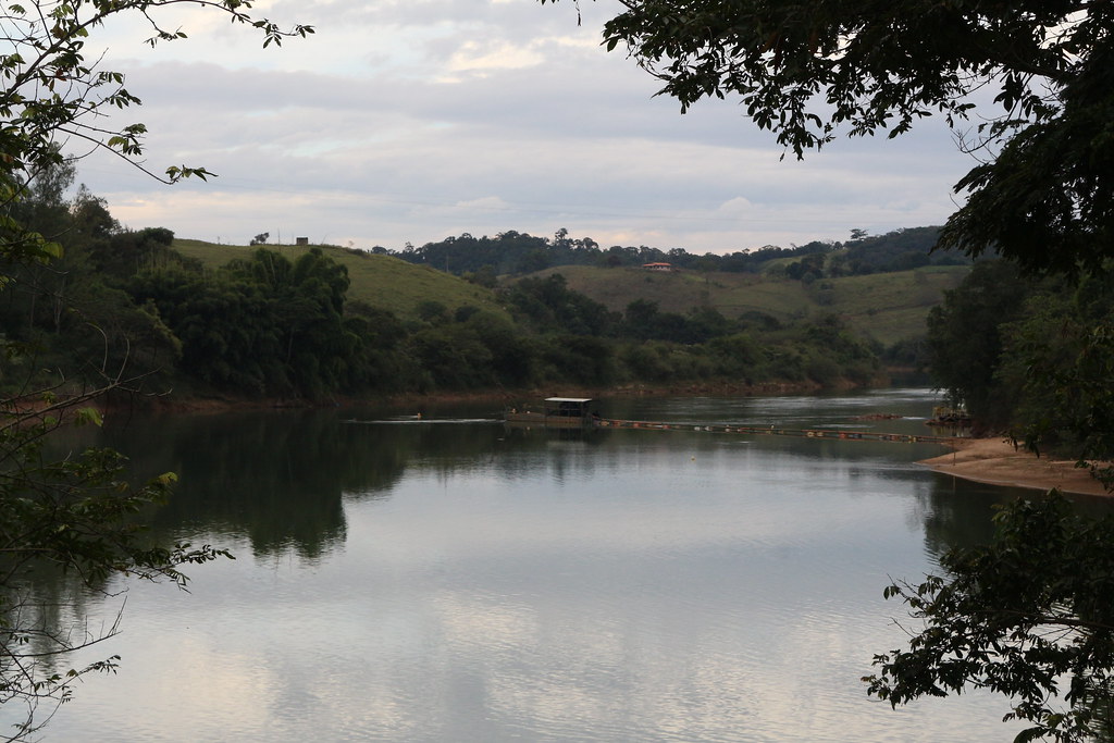
Ribeirão Vermelho
coming home

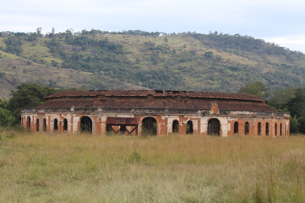
far away

tree line
Topographic Map of Lavras - State of Minas Gerais, Brazil
Find elevation by address:

Places in Lavras - State of Minas Gerais, Brazil:
Places near Lavras - State of Minas Gerais, Brazil:
Rod. Fernão Dias, Lavras - MG, -, Brazil
R. Luís Galvão, Carmo da Cachoeira - MG, -, Brazil
Jesuânia
R. Dr. Melo Viana, São Lourenço - MG, -, Brazil
São Lourenço
R. Sen. Bueno de Paiva, Caldas - MG, -, Brazil
Bueno Brandão
Bueno Brandão
Recent Searches:
- Elevation of Corso Fratelli Cairoli, 35, Macerata MC, Italy
- Elevation of Tallevast Rd, Sarasota, FL, USA
- Elevation of 4th St E, Sonoma, CA, USA
- Elevation of Black Hollow Rd, Pennsdale, PA, USA
- Elevation of Oakland Ave, Williamsport, PA, USA
- Elevation of Pedrógão Grande, Portugal
- Elevation of Klee Dr, Martinsburg, WV, USA
- Elevation of Via Roma, Pieranica CR, Italy
- Elevation of Tavkvetili Mountain, Georgia
- Elevation of Hartfords Bluff Cir, Mt Pleasant, SC, USA