Elevation of Rockbridge Rd, Troutdale, VA, USA
Location: United States > Virginia > Grayson County > Wilson Creek > Troutdale >
Longitude: -81.349705
Latitude: 36.672222
Elevation: 889m / 2917feet
Barometric Pressure: 91KPa
Elevation Map:
Satellite Map:
Related Photos:

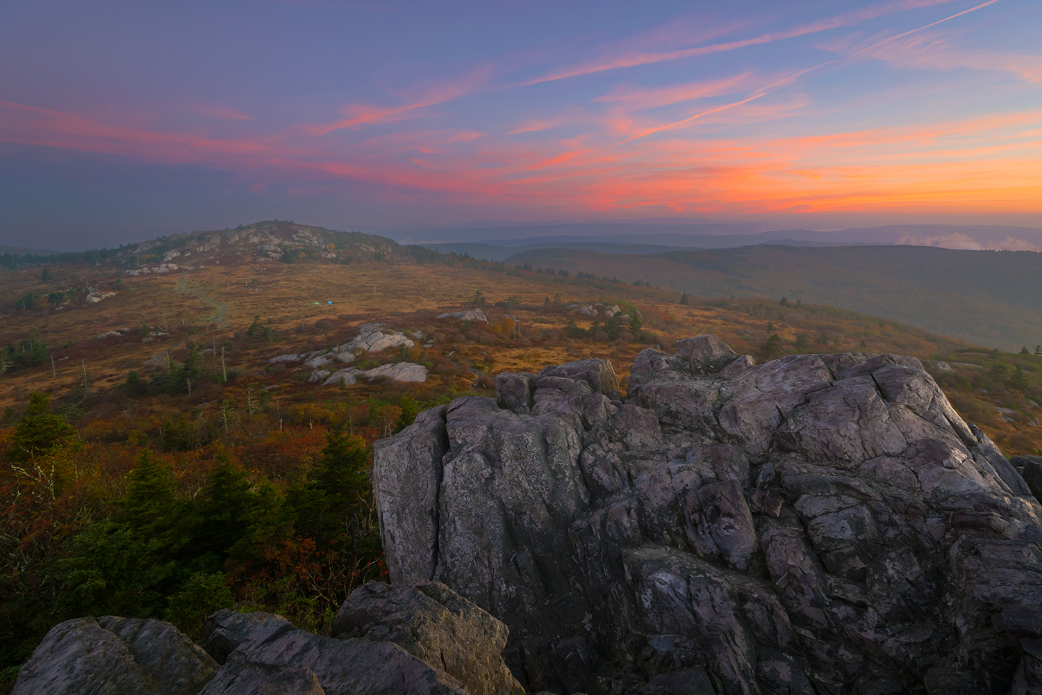
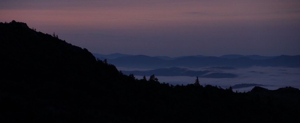
Wilburn Ridge Sunrise

Nuclear Blast

The Light Shines Through

3D Grayson Highlands Park

3D Grayson Highlands Park
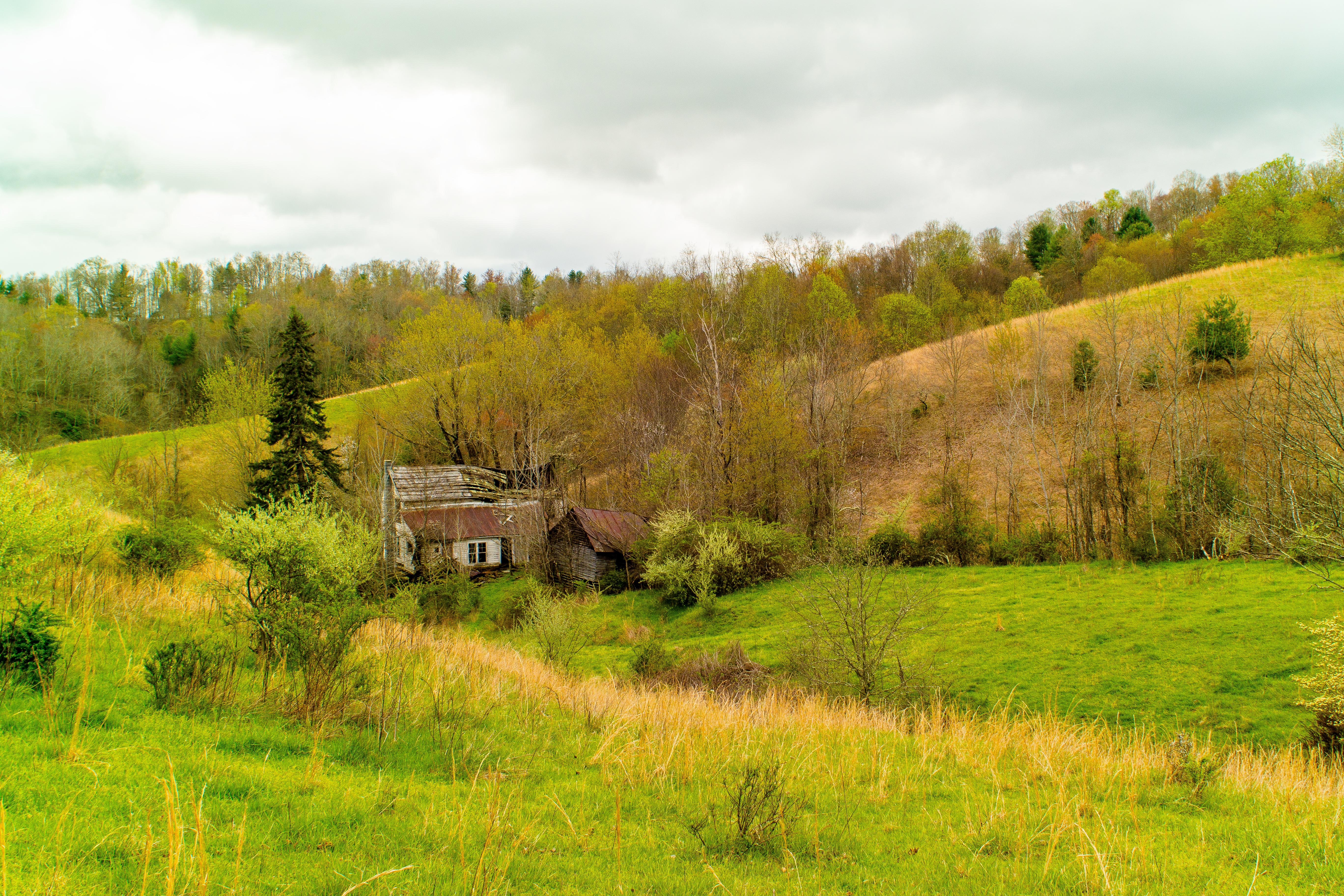
Forgotten House in the Hills

Old New River House
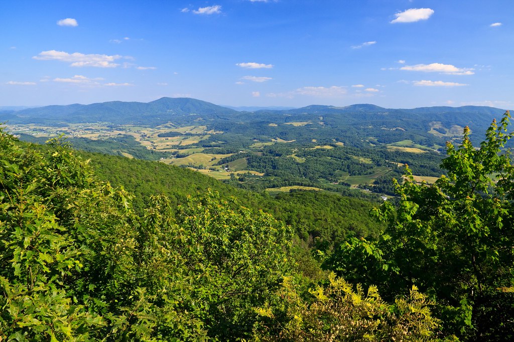
View from Comers Rock
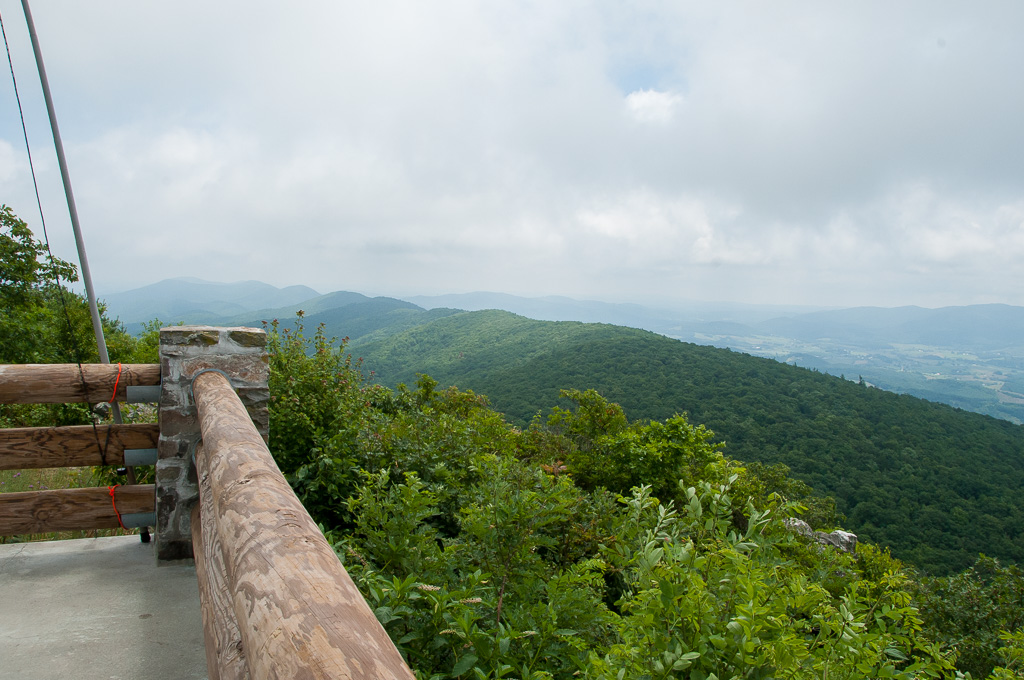
View from W4V/WV-013 - Comers Rock

Wilburn Ridge Trail
Morning on Wilburn Ridge
Grayson Highlands
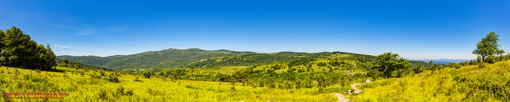
Wilburn Ridge Pano

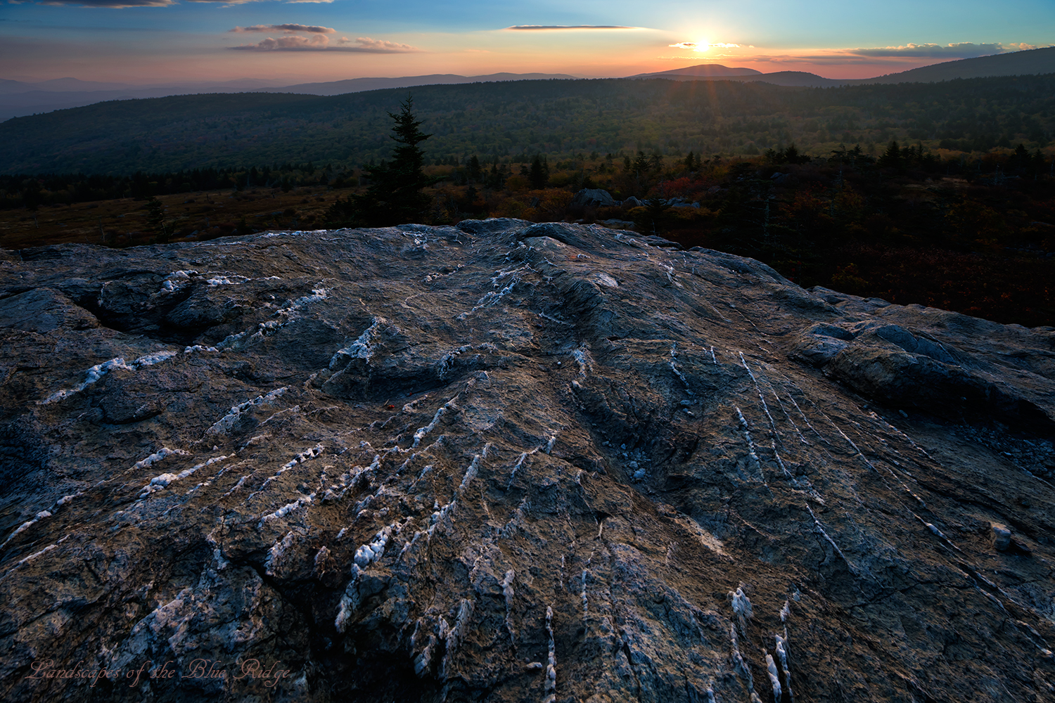
Grayson Highlands Sunset

Appalachian Yorkie
Morning in the Grayson Highlands
Mt Rogers Backpack - Another view on the AT - July 5, 2014

Mobile Home
3D Grayson Highlands Park
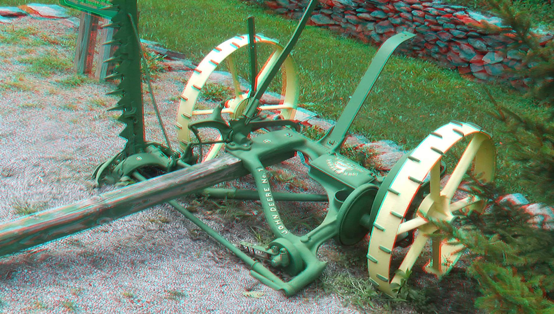
3D Grayson Highlands Park
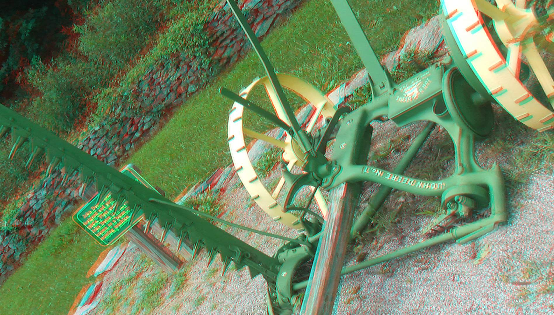
3D Grayson Highlands Park
Grayson Highlands

Grayson Highlands
Mount Rogers Sunrise 1

Sugarland Overlook - Grayson Highlands State Park

Wilburn Ridge Sunset
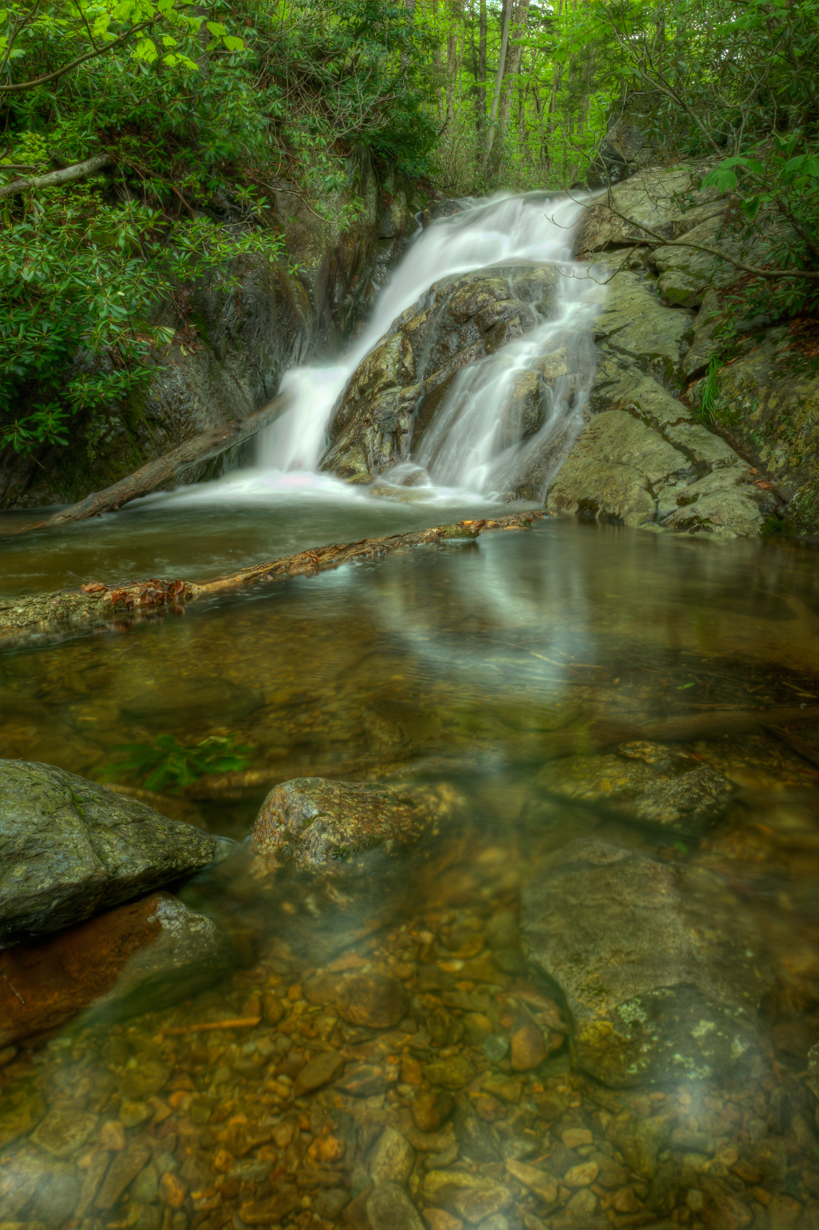
Upper Cabin Creek Falls

Mount Rogers Summit

Wilburn Ridge Sunset
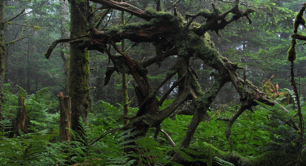
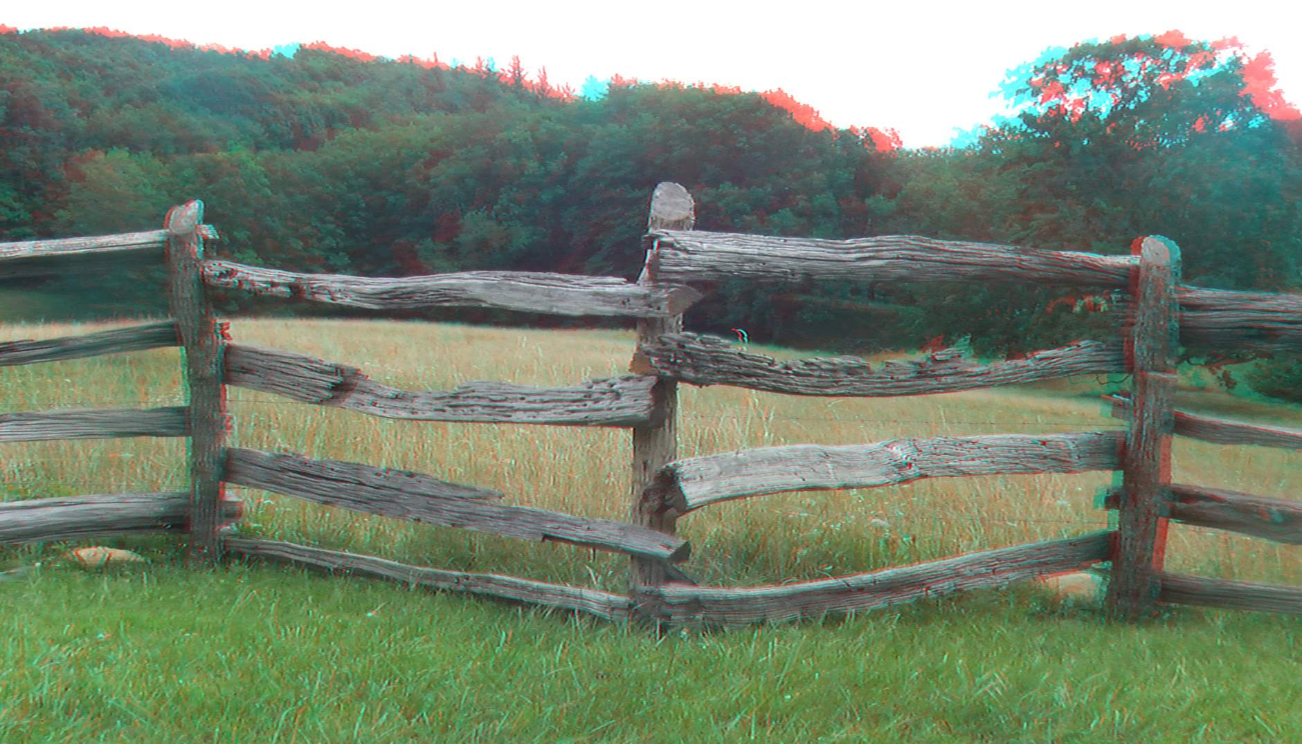
Web of Wood
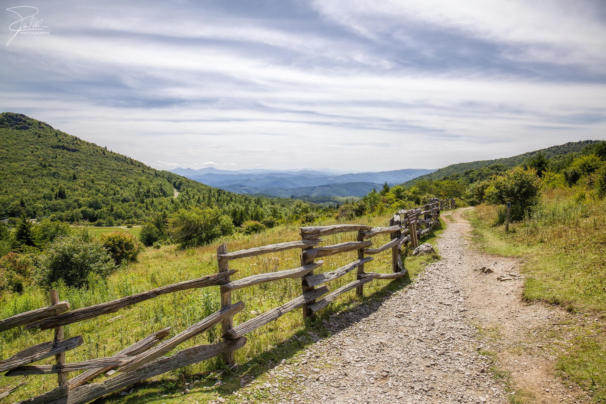
Right This Way

Morning Rhododendron
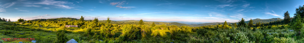
Mt Rogers Backpack - Panorama from the hills above Scales - July 5, 2014
Pine Mountain Panorama

Mt Rogers Backpack - Scales July 5, 2014
Topographic Map of Rockbridge Rd, Troutdale, VA, USA
Find elevation by address:

Places near Rockbridge Rd, Troutdale, VA, USA:
473 Moss Ln
Rabbit Fork Road
4551 Flat Ridge Rd
4551 Flat Ridge Rd
523 Home Pl Ln
1015 Rockbridge Rd
6485 Old Bridle Creek Dr
6570 Flat Ridge Rd
Flat Ridge Road
Flat Ridge Community Center
14339 Comers Rock Rd
2474 Chestnut Ridge Rd
Chestnut Ridge Road
6586 Flat Ridge Rd
707 Chestnut Ridge Rd
2258 Buck Mountain Rd
Middle Fox Creek
3393 Fox Creek Rd
421 Buck Mountain Rd
1055 Home Run Ln
Recent Searches:
- Elevation of Corso Fratelli Cairoli, 35, Macerata MC, Italy
- Elevation of Tallevast Rd, Sarasota, FL, USA
- Elevation of 4th St E, Sonoma, CA, USA
- Elevation of Black Hollow Rd, Pennsdale, PA, USA
- Elevation of Oakland Ave, Williamsport, PA, USA
- Elevation of Pedrógão Grande, Portugal
- Elevation of Klee Dr, Martinsburg, WV, USA
- Elevation of Via Roma, Pieranica CR, Italy
- Elevation of Tavkvetili Mountain, Georgia
- Elevation of Hartfords Bluff Cir, Mt Pleasant, SC, USA