Elevation of Moss Ln, Troutdale, VA, USA
Location: United States > Virginia > Grayson County > Wilson Creek > Troutdale >
Longitude: -81.353171
Latitude: 36.6628515
Elevation: 900m / 2953feet
Barometric Pressure: 91KPa
Elevation Map:
Satellite Map:
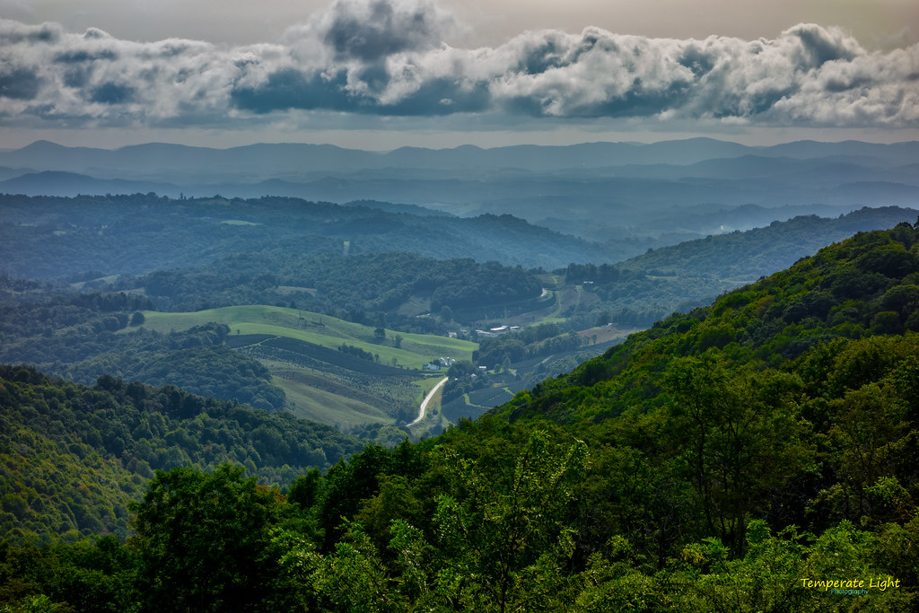
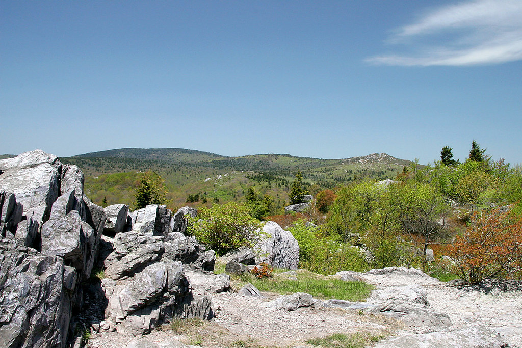
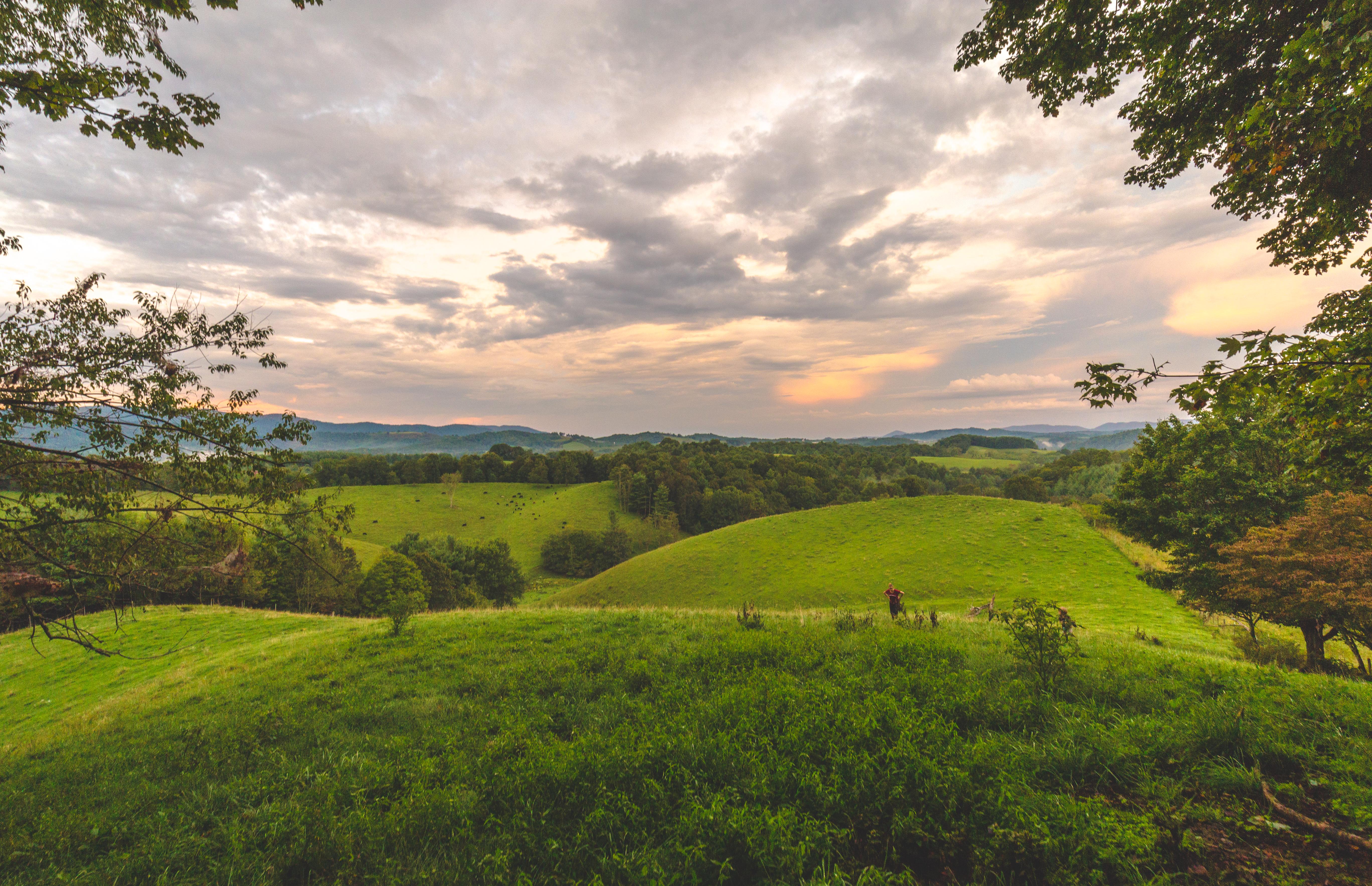
Related Photos:
The Ranger’s View

The Vista 01

Signs of Fall - HFF
Grayson Highlands

Forgotten House in the Hills

Old New River House

Two Hikers taking in the Grayson County view.

Wilburn Ridge Pano

Morning on Wilburn Ridge

Wilburn Ridge Sunrise

Virginia Hills

Appalachian Yorkie

Mountain View @ Grayson Highlands State Park - Mouth of Wilson, VA

Morning in the Grayson Highlands

Nuclear Blast

Haw Orchard Mountain in Winter

Wilburn Ridge Trail

Views on Wilburn Ridge

Grayson Highlands Sunset

Views on Wilburn Ridge
Views on Wilburn Ridge

A little color...Sugarlands Overlook, Grayson Highlands State Park [Explored]

Christmas Tree Farms...

Grayson Highlands

HFF! Fence from Old First Peak Trail

Grayson Highlands

Sugarland Overlook - Grayson Highlands State Park

Pony at Grayson Highlands State Park, Virginia

Foggy Wilburn

Through The Grass

SWVA -- My Second Home

At the Rhododendron Gap spring
Virginia Hills Sunset

Evening Pano
Topographic Map of Moss Ln, Troutdale, VA, USA
Find elevation by address:

Places near Moss Ln, Troutdale, VA, USA:
2581 Rockbridge Rd
4551 Flat Ridge Rd
4551 Flat Ridge Rd
523 Home Pl Ln
Rabbit Fork Road
1015 Rockbridge Rd
6485 Old Bridle Creek Dr
1055 Home Run Ln
6570 Flat Ridge Rd
2474 Chestnut Ridge Rd
3393 Fox Creek Rd
14339 Comers Rock Rd
673 Home Run Ln
Chestnut Grove Road
Flat Ridge Road
Chestnut Ridge Road
Flat Ridge Community Center
3206 Fox Creek Rd
3410 Kindreck Rd
6586 Flat Ridge Rd
Recent Searches:
- Elevation of Corso Fratelli Cairoli, 35, Macerata MC, Italy
- Elevation of Tallevast Rd, Sarasota, FL, USA
- Elevation of 4th St E, Sonoma, CA, USA
- Elevation of Black Hollow Rd, Pennsdale, PA, USA
- Elevation of Oakland Ave, Williamsport, PA, USA
- Elevation of Pedrógão Grande, Portugal
- Elevation of Klee Dr, Martinsburg, WV, USA
- Elevation of Via Roma, Pieranica CR, Italy
- Elevation of Tavkvetili Mountain, Georgia
- Elevation of Hartfords Bluff Cir, Mt Pleasant, SC, USA