Elevation of Rock Way, Central Point, OR, USA
Location: United States > Oregon > Jackson County > Central Point >
Longitude: -122.92286
Latitude: 42.3916009
Elevation: 381m / 1250feet
Barometric Pressure: 97KPa
Elevation Map:
Satellite Map:
Related Photos:
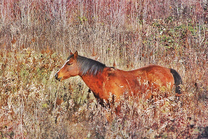
horse in tall grass

Walking with the shutter open
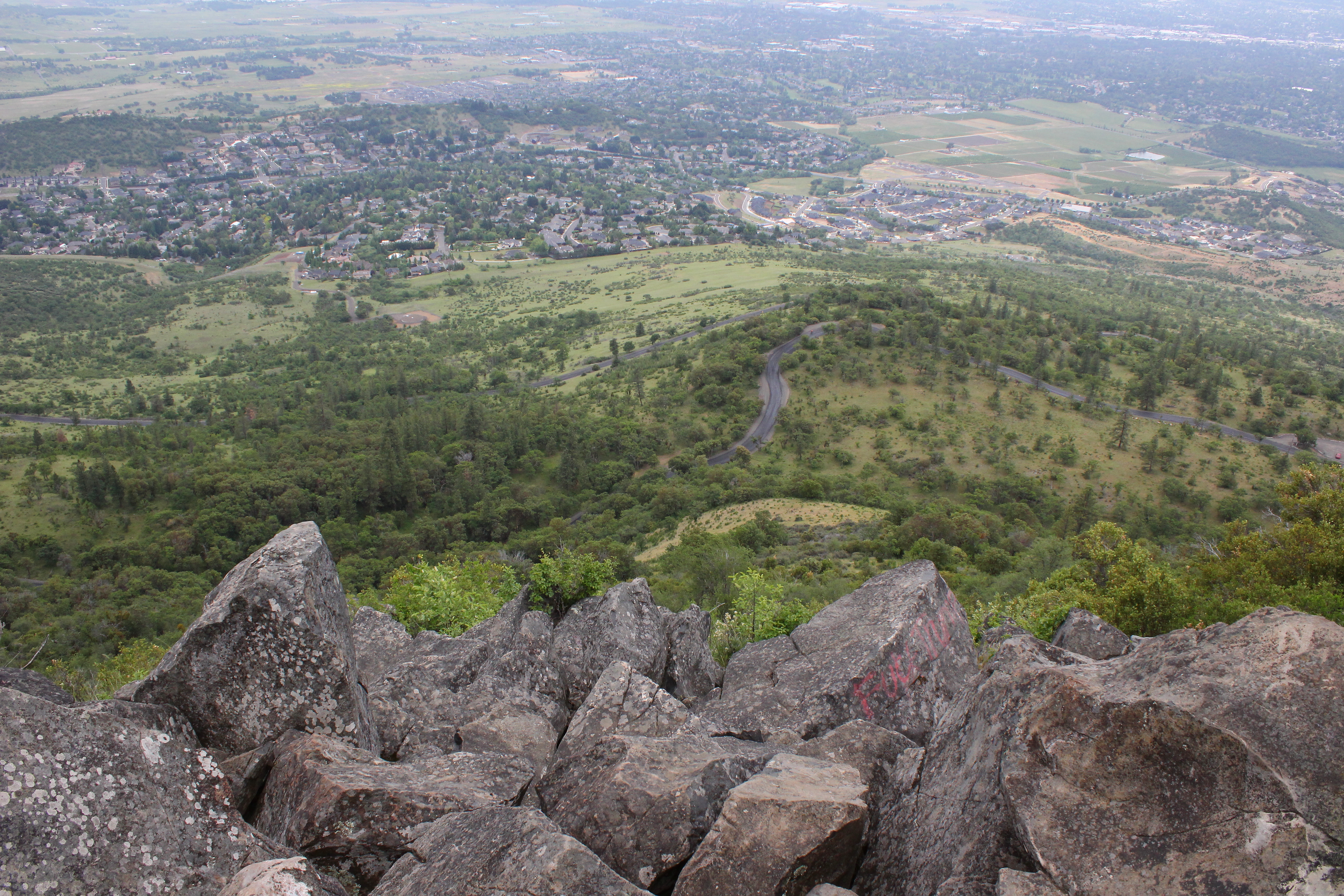
The view from Roxy Ann Peak's summit

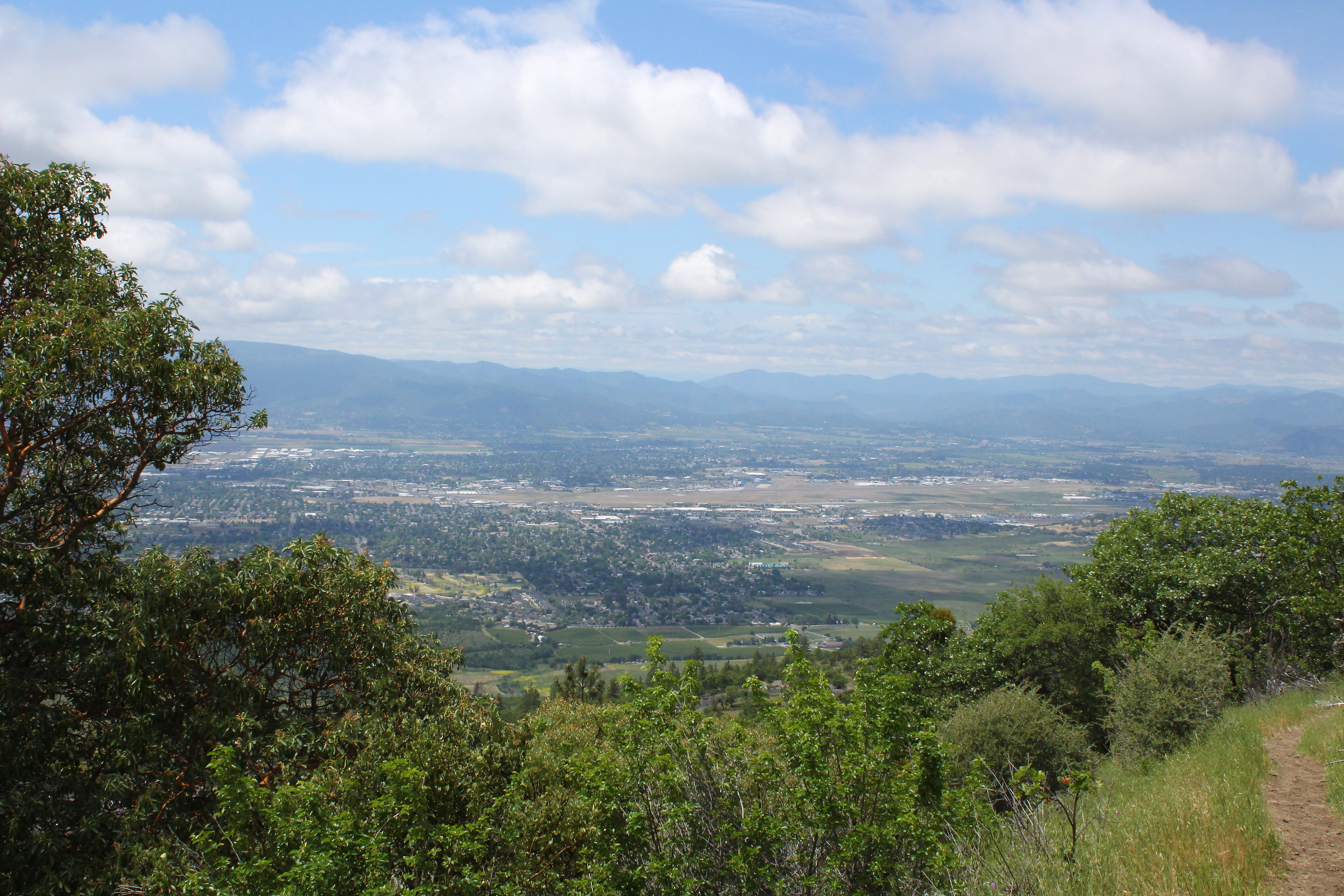
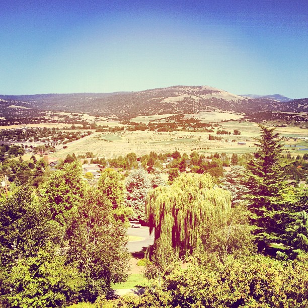
Medford OR View
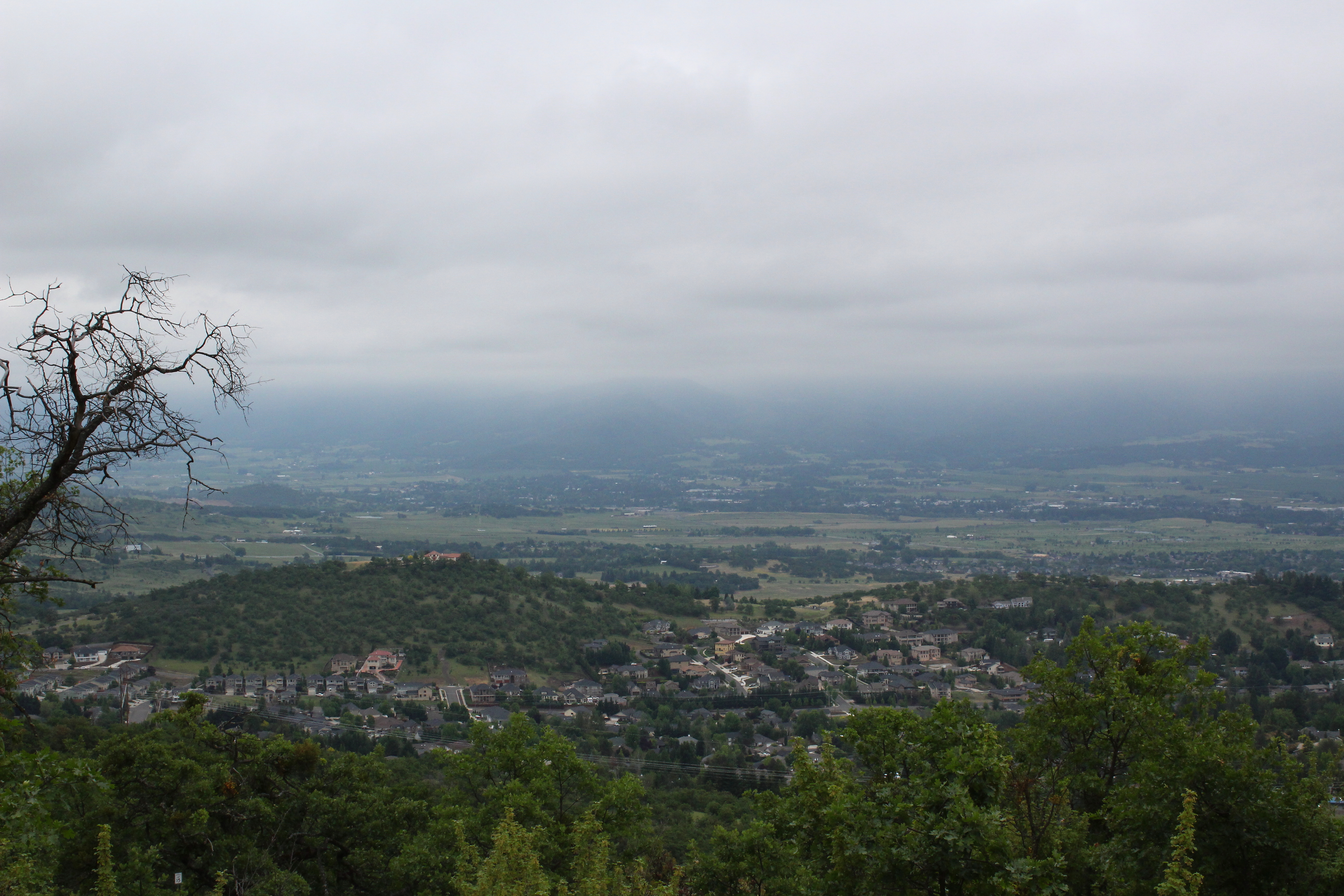
View to south Medford
A great view
Summit view panorama

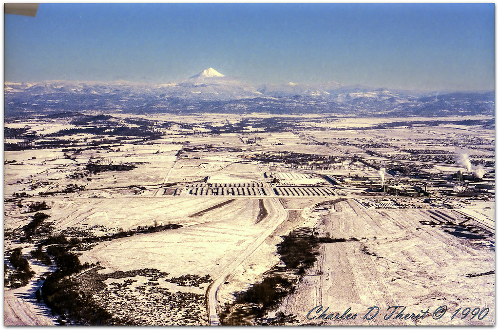
View towards the Cascades
The view would only get better
Southeast Medford dominated the view

Nunan House

Ruby-crowned Kinglet (Regulus calendula)
Jacksonville Viewpoint

view from hotel2

view from hotel
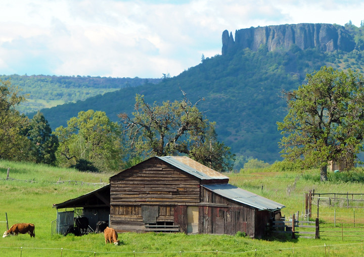
Lower Table Rock and Barn from I-5

view from hotel3
The view from the top. Here to preach

DAY 36/365: Salvage Yard Rothko

manor view

Harnessing the sun
Mount McLoughlin

107/365 ~ Blessings
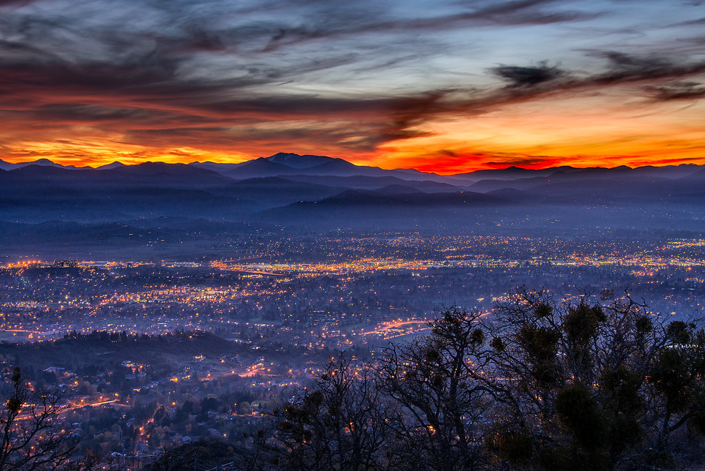
Medford lights from Roxy Ann Drive

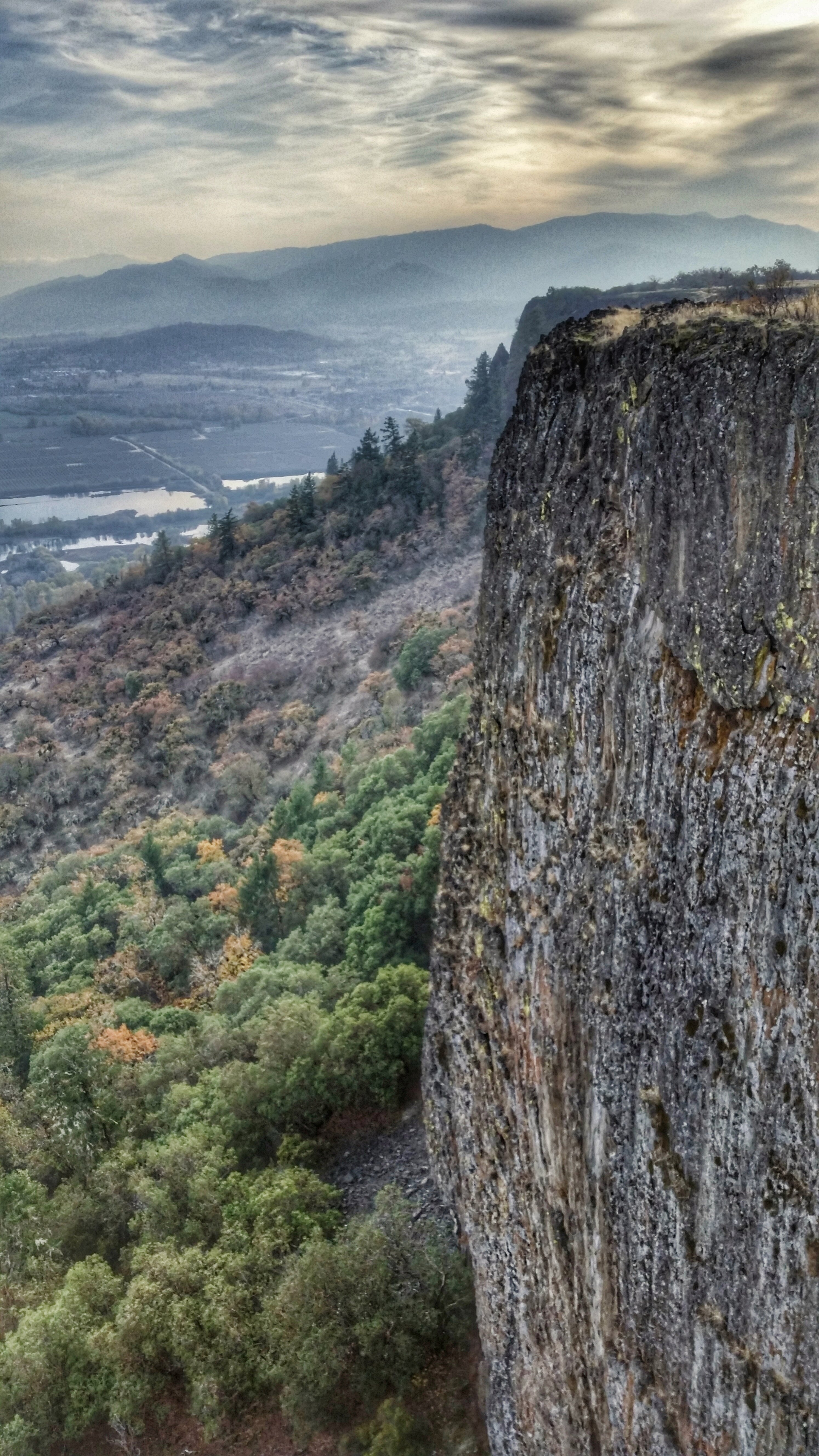
Table Rock

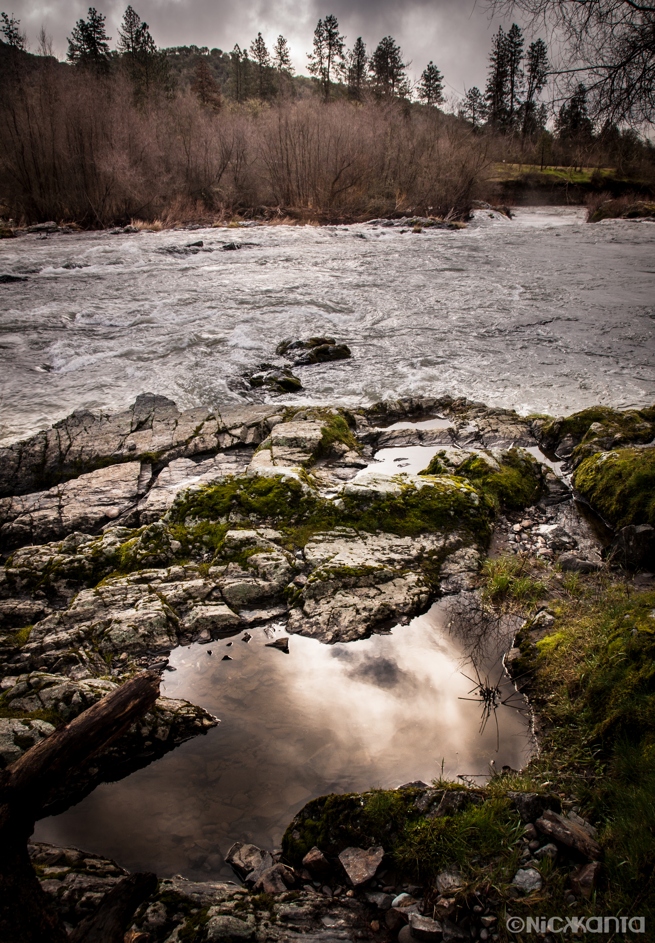
The Rogue River

Hiking Upper Table Rock

Rogue River Valley, Eagle Point Oregon 8:01 p.m. 5/13/16
Puddles of Gold

Fall Foliage Jacksonville Oregon

#nofilter

View from Tablerock

Silver Stream
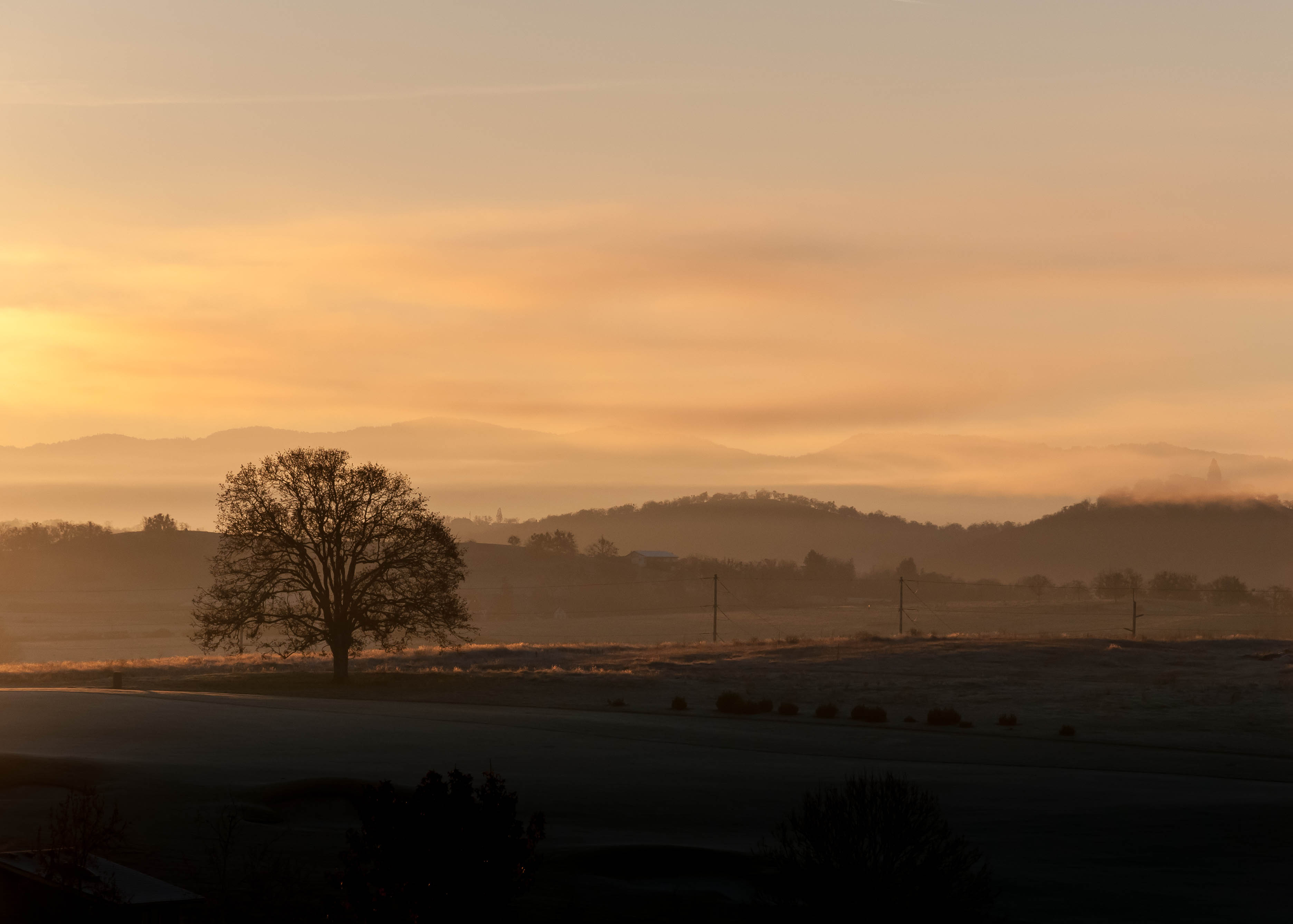
Frosty Morning Sunrise
Hiking Lower Table Rock

Siskiyou Mountains

Road to Roxy Ann

Summer 2014
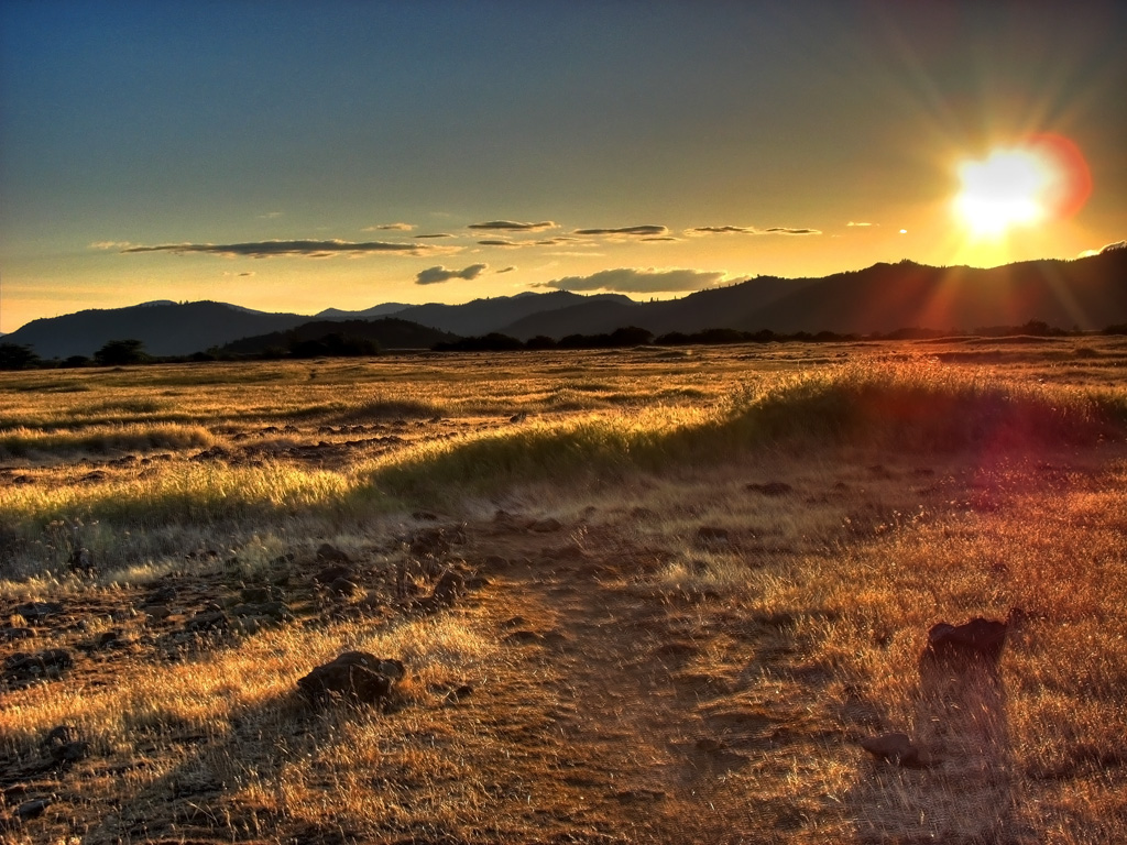
Golden Hue

Hiking Lower Table Rock
Hiking Lower Table Rock
Topographic Map of Rock Way, Central Point, OR, USA
Find elevation by address:

Places near Rock Way, Central Point, OR, USA:
955 N 5th St
Central Point
444 Manzanita St
116 N 10th St
3100 Willow Springs Rd
1410 Timothy St
5585 Table Rock Rd
859 Forest Glen Dr
3606 Old Military Rd
3343 Old Stage Rd
3346 Old Military Rd
99 Dean Dr
600 Airport Rd
Rogue Valley International-medford Airport
3630 Aviation Way
1590 Delta Waters Rd
Upper Table Rock
10413 Blackwell Rd
4902 Mcloughlin Dr
Gladstone Ave, White City, OR, USA
Recent Searches:
- Elevation of Corso Fratelli Cairoli, 35, Macerata MC, Italy
- Elevation of Tallevast Rd, Sarasota, FL, USA
- Elevation of 4th St E, Sonoma, CA, USA
- Elevation of Black Hollow Rd, Pennsdale, PA, USA
- Elevation of Oakland Ave, Williamsport, PA, USA
- Elevation of Pedrógão Grande, Portugal
- Elevation of Klee Dr, Martinsburg, WV, USA
- Elevation of Via Roma, Pieranica CR, Italy
- Elevation of Tavkvetili Mountain, Georgia
- Elevation of Hartfords Bluff Cir, Mt Pleasant, SC, USA