Elevation of N 5th St, Central Point, OR, USA
Location: United States > Oregon > Jackson County > Central Point >

Longitude: -122.91852

Latitude: 42.3831746

Elevation: 382m / 1253feet

Barometric Pressure: 97KPa

Elevation Map:

elevation map of N 5th St, Central Point, OR, USA
Satellite Map:

Satellite map of N 5th St, Central Point, OR, USA
Related Photos:

east applegate ridge trail jacksonville sterling ditch jack ash siskiyou mountains foothills ruch valley hiking oregon views
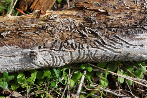
Beetle script
east applegate ridge trail jacksonville sterling ditch jack ash siskiyou mountains foothills ruch valley hiking oregon views
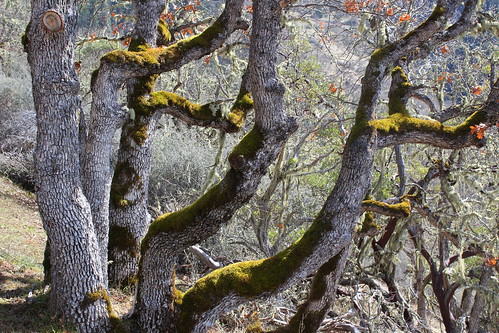
Tree art on the East ART
square lofi squareformat iphoneography instagramapp uploaded:by=instagram foursquare:venue=4f21eb69e4b0085e4761fe8b
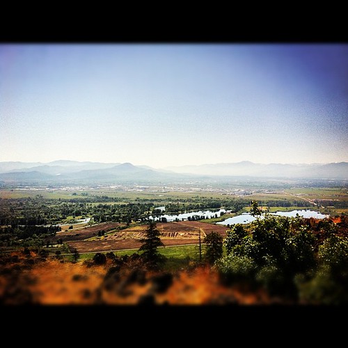
View from Tablerock
sunset cascades jacksonville medford mtmcloughlin roxyannbutte
Jacksonville Viewpoint
oregon
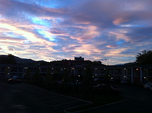
view from hotel2
shadow rock barn table view cattle cows i5 lower
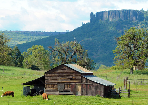
Lower Table Rock and Barn from I-5
east applegate ridge trail jacksonville sterling ditch jack ash siskiyou mountains foothills ruch valley hiking oregon views
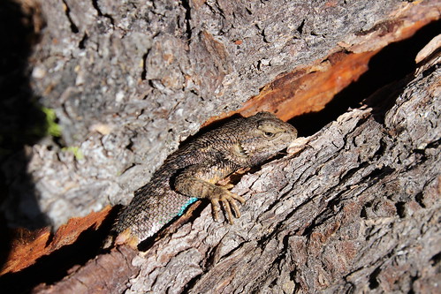
Oh crap, you found me!
animals
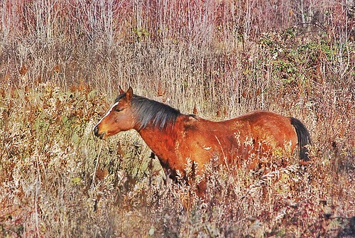
horse in tall grass
east applegate ridge trail jacksonville sterling ditch jack ash siskiyou mountains foothills ruch valley hiking oregon views
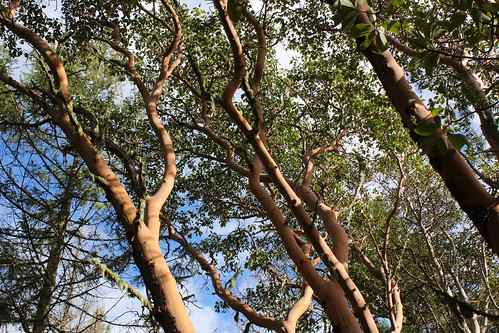
Madrones reach for the sky
oregon pano medford
manor view
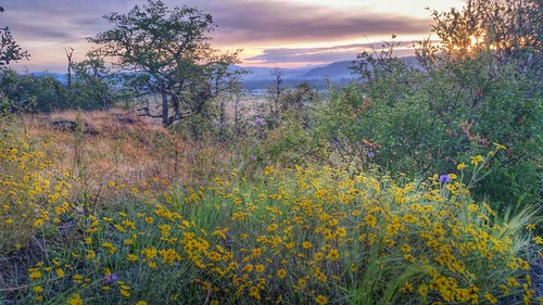
oregon wildflowers californiapoppy medford eschscholziacalifornica lowertablerock
Harnessing the sun
east applegate ridge trail jacksonville sterling ditch jack ash siskiyou mountains foothills ruch valley hiking oregon views
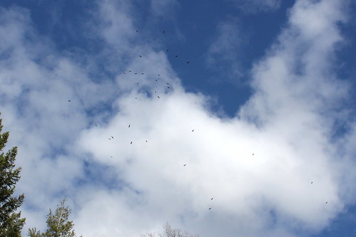
Dozens of buzzards circled over us
winter usa oregon america sunrise portland or indian portlandoregon vistapoint sunriseinwinter myaphotography
Sunrise from the Columbia river gorge
abstract building colors oregon speed town store long exposure downtown slow down shutter woolworths medford
Walking with the shutter open
east applegate ridge trail jacksonville sterling ditch jack ash siskiyou mountains foothills ruch valley hiking oregon views
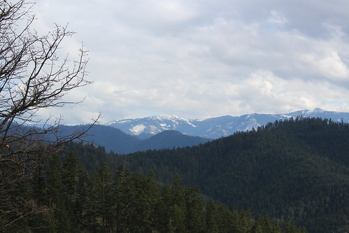
Still lots of snow in the Siskiyou foothills
trees sky usa lake mountains water clouds oregon unitedstates scenic whitecity dyke medford southernoregon jacksoncounty
View of Medford Oregon from Upper Table Rock, looking South.
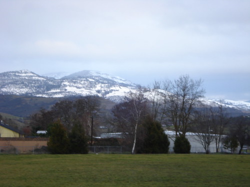
the view from school
bus ford dead king tour bugs grill lich
This was my view for one very unpleasant meal
View from the Rich Gulch Trail
roxy ann peak prescott park medford bear creek valley ashland oregon hiking
Clouds took away the mountain views
panorama iphone eaglepointoregon uploaded:by=flickrmobile flickriosapp:filter=nofilter
Love the view up here.
trees sky color water clouds oregon river nikon rocks rogueriver roguevalley d90 outdoorphotography tamron1750
The Rogue River
5095 analog asa100 canon canoscan canoscan9000fmarkii colornegative ef35105mmf3545 eos eos620 explore explored film ga goldplus100 iso100 kodacolorvrgold100 kodak processc41 scanned standardbase unitedstates usa centralpoint geo:lat=4245315336 geo:lon=12290170389 geotagged oregon tablerock 9000f esplora renown pretty photo pic
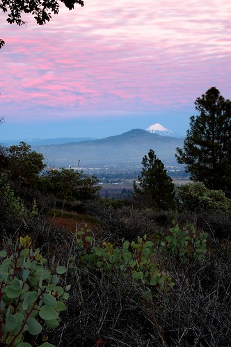
Mount McLoughlin
N374AC AeroFlite Avro RJ85 Tanker 164
sunset iphone4s
107/365 ~ Blessings
southern oregon aerial nikon d750 nikkor 24120mm f4g lower upper al case
Table Rock
Hiking Upper Table Rock
trees color reflection water clouds oregon river nikon rocks rogueriver roguevalley d90 outdoorphotography tamron1750
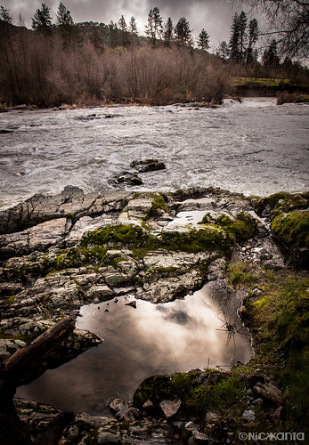
Puddles of Gold
Rogue River Valley, Eagle Point Oregon 8:01 p.m. 5/13/16
fallfoliage jacksonville oregon yellow leaves trees shade outdoor nature landscape canon eos 7d slr
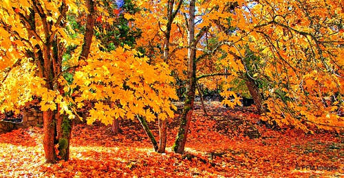
Fall Foliage Jacksonville Oregon
square squareformat iphoneography instagramapp uploaded:by=instagram foursquare:venue=4bf0779c17880f47d75c2937
#nofilter
blackandwhite bw water oregon river nikon rocks monochromatic rogueriver roguevalley d90 outdoorphotography tamron1750
Silver Stream
thanksgiving sun oregon sunrise landscape unitedstates medford
Frosty Morning Sunrise
landscape potofgold
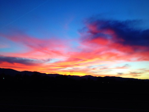
Rogue Valley Sunset
Hiking Lower Table Rock
Siskiyou Mountains
Road to Roxy Ann
Summer 2014
sunset hdr tablerock
Golden Hue