Elevation of Robinson Rd, Visalia, CA, USA
Location: United States > California > Tulare County > Visalia >
Longitude: -119.41822
Latitude: 36.3512977
Elevation: 87m / 285feet
Barometric Pressure: 100KPa
Elevation Map:
Satellite Map:
Related Photos:
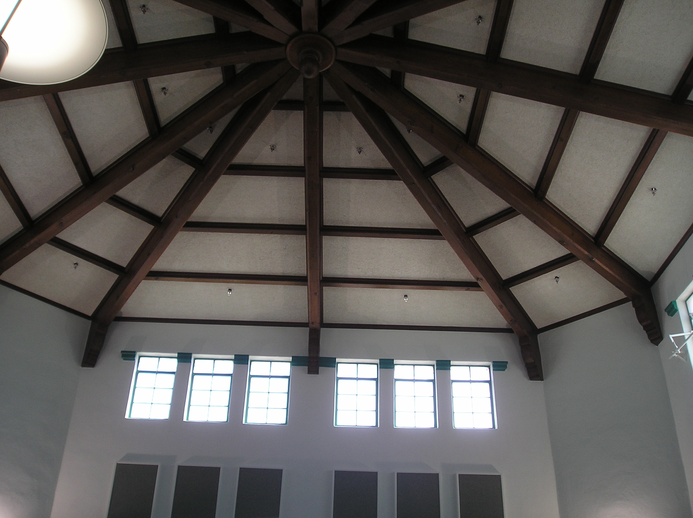
Roof view at the Visalia library
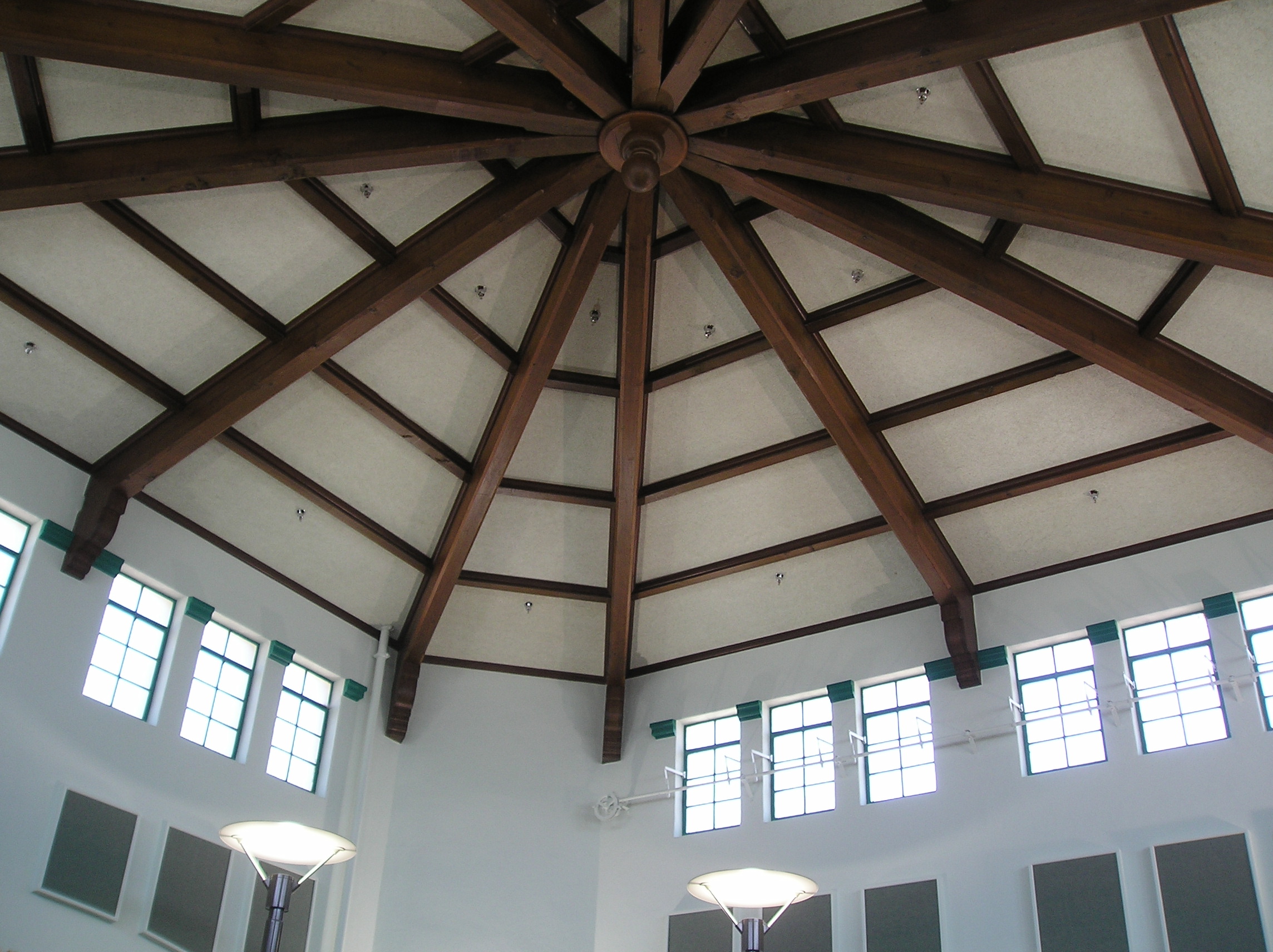
Roof view, Visalia library
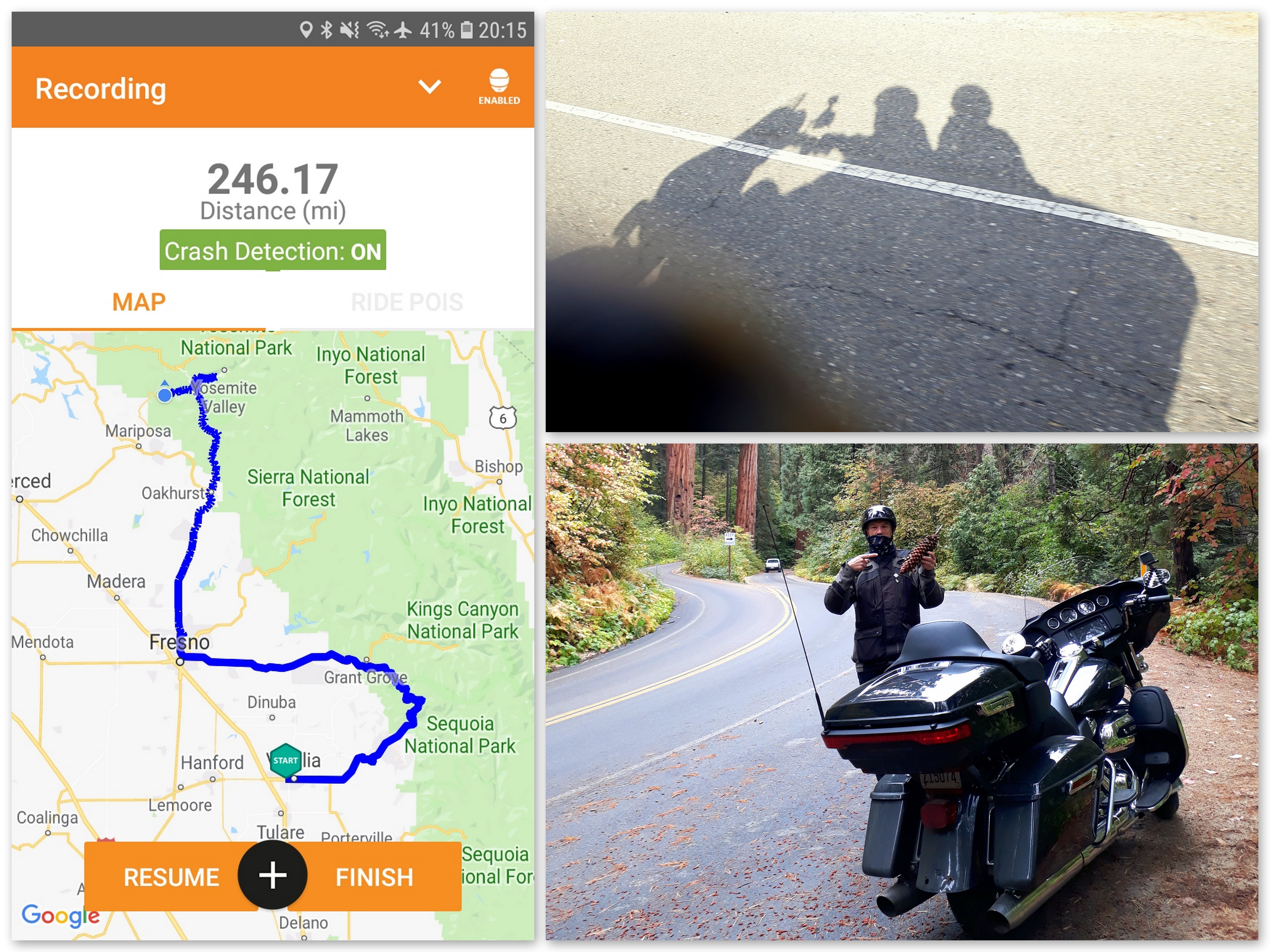
Visalia to Yosemite & El Portal - Day Four.
Day four Visalia to Yosemite & El Portal

boeing b-17g flying fortress

boeing b-17g flying fortress
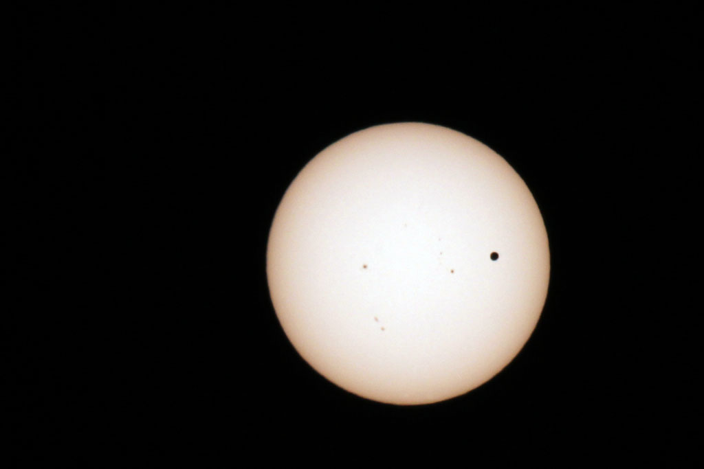
Transit of Venus Take 1
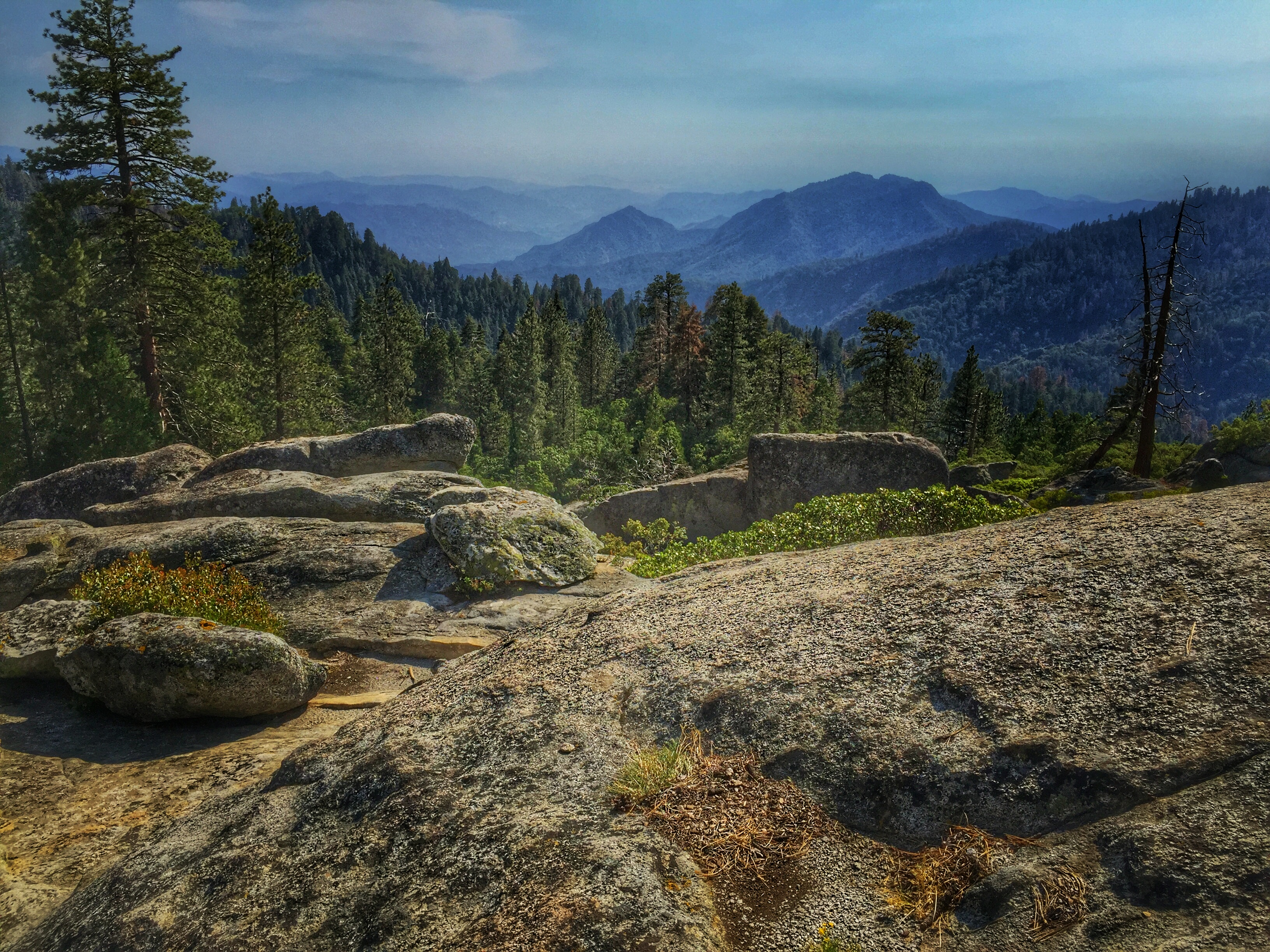
Beetle Rock view, Sequoia National Park.
ValleyEx (277)
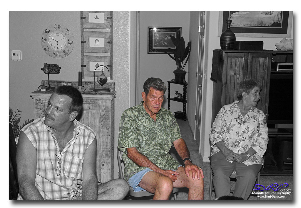
Mini Family Reunion Cat Nap
ValleyEx (287)
kaweah delta construction

Couch's Kingbird

A View of 6 lane Construction and Westbound California 198
Boggess Backdoor. Top Level
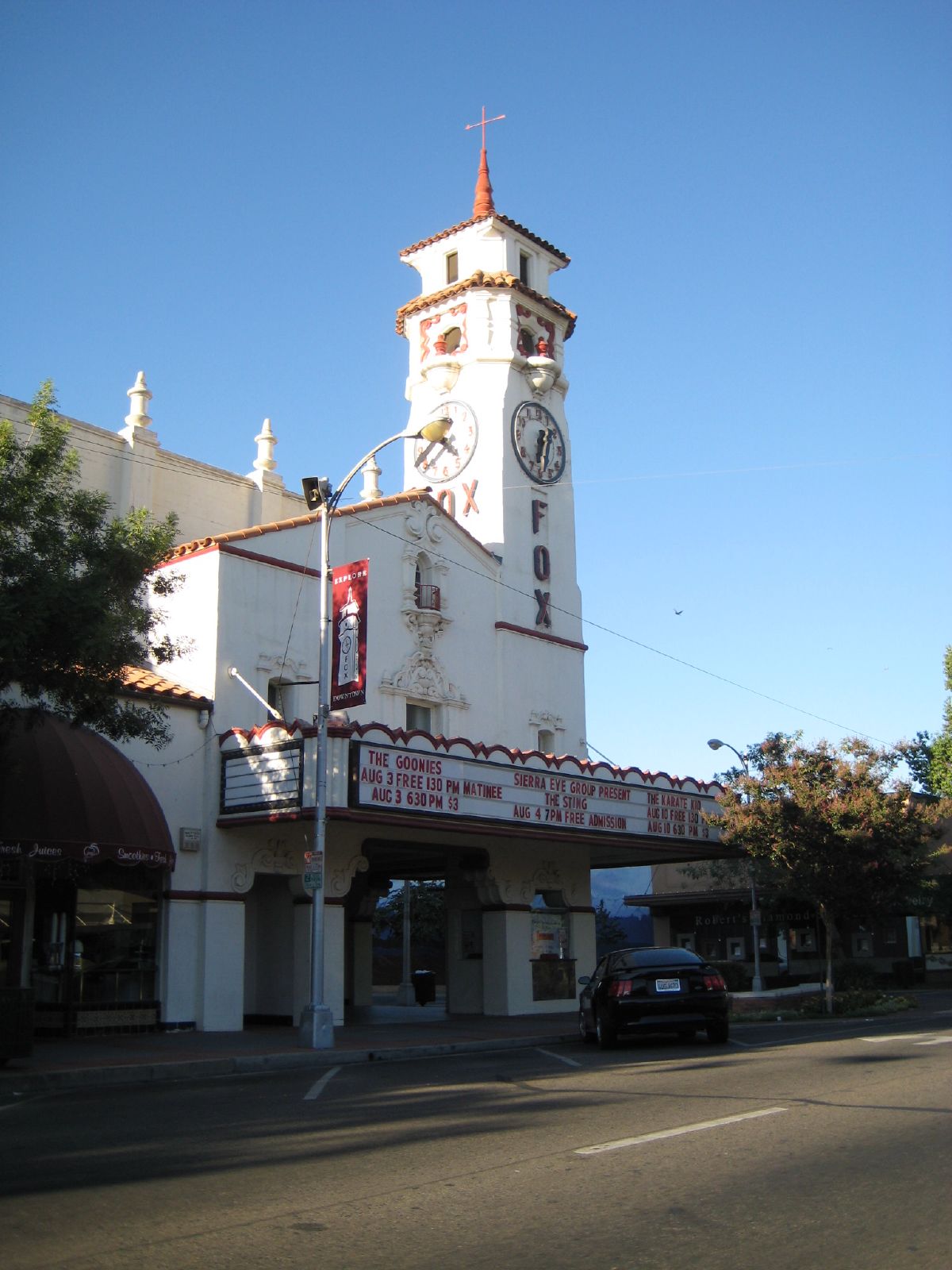
old fox theater
ValleyEx (278)
ValleyEx (291)

ValleyEx (296)
ValleyEx (279)
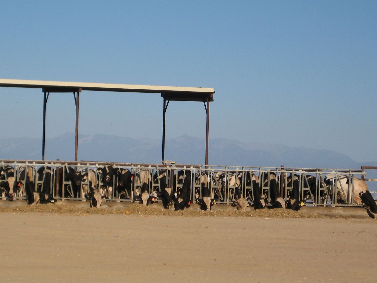
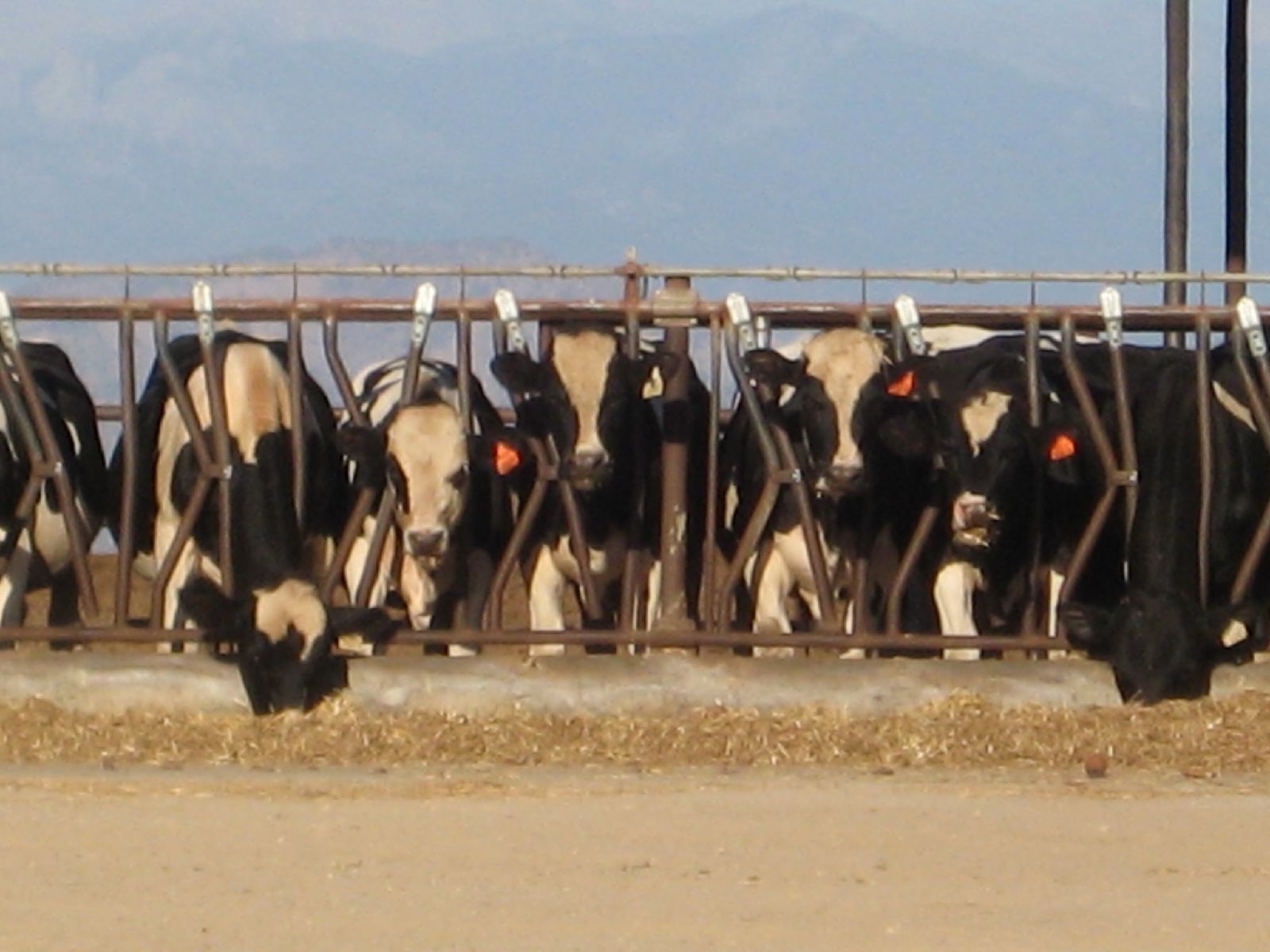
feeding time

in Salem
Goshen, Ca
Drive by landscape
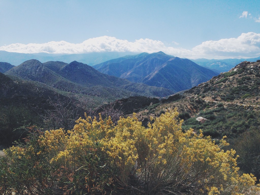
Mountains in Sequoia National Park
Camera Roll-1018
Sentinel has Yami's back...
*День пятнадцатый. 4566 км. Пять часов по серпантину без навигатора, чтобы вернуться туда, откуда начали, но уже с пустым баком. А что, зато виды красивые

Vintage; All The Cool Kids Are Doin' It

#superfiltered swirlies and soft straight lines.
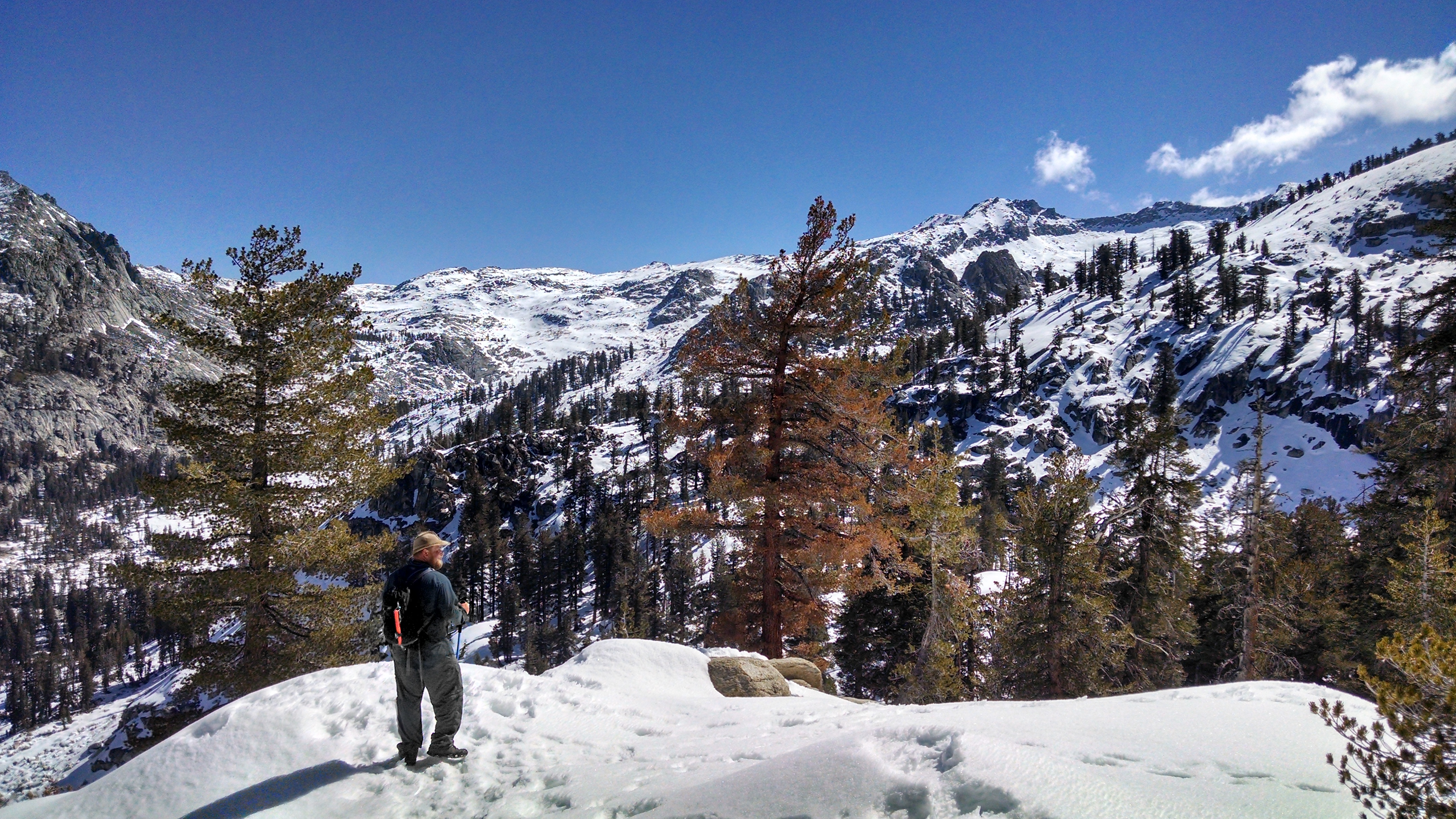
At the top of the Hump Trail in Sequoia National Park
ORTrip 030
Cooled Down

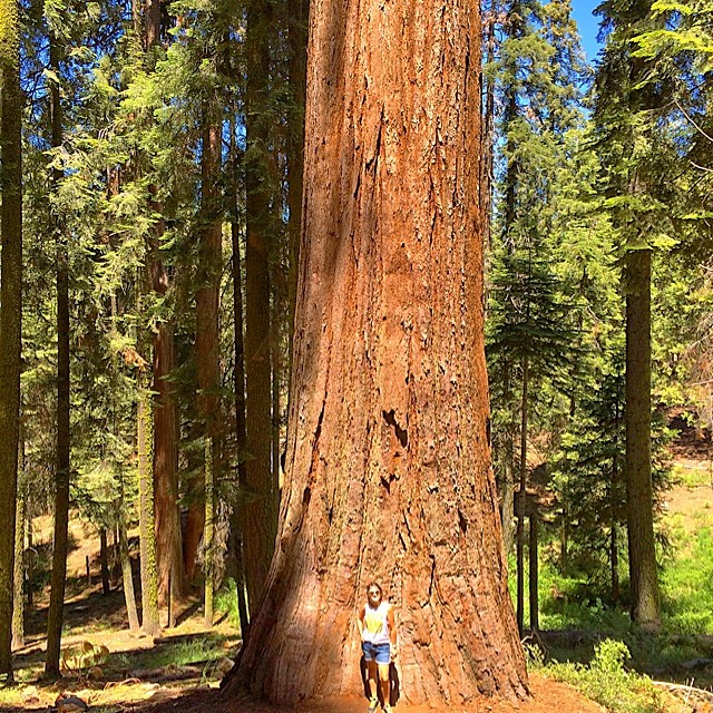
General Sherman, largest living thing on Earth (taken from the upper trail). Photos don't do it justice. See that tiny insignificant human standing near its base? Yeah.

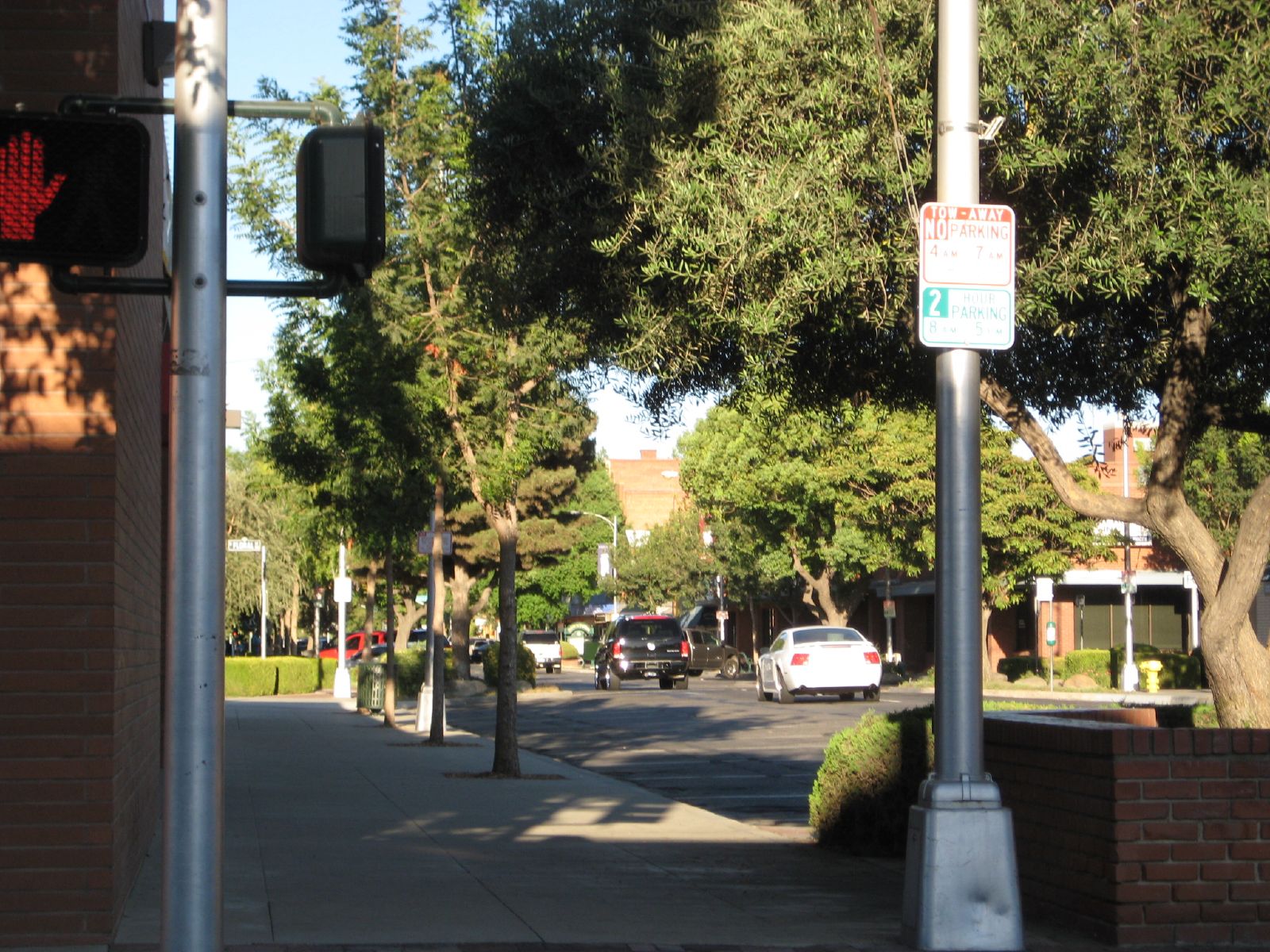
Downtown Visalia
Plaza Park, Visalia
My photo landscape
Camera Roll-1017
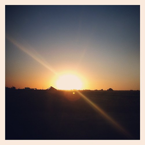
Sunset in Central California
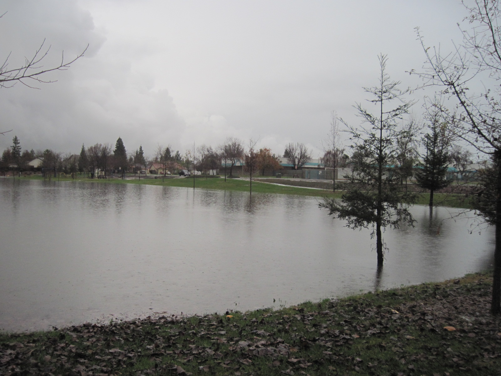
This lake was a park
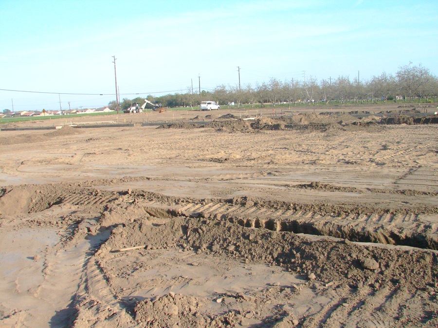
Landforms on the Property
Topographic Map of Robinson Rd, Visalia, CA, USA
Find elevation by address:

Places near Robinson Rd, Visalia, CA, USA:
Goshen
1603 Clancy Ct
1600 Clancy Ct
Lakewood Drive
West Mineral King Avenue
3344 W La Vida Ave
1737 W Houston Ave
Cartmill Avenue
937 N Highland St
Mount Whitney High School
Visalia
98 E Mineral King Ave
536 E Ferguson Ct
Rayhill Brake & Wheel Shop
E K Ave, Visalia, CA, USA
3420 E Finni Ct
1905 S Gowdy St
1805 E Main St
1301 Mesa Ct
1101 N Cherry St
Recent Searches:
- Elevation of Corso Fratelli Cairoli, 35, Macerata MC, Italy
- Elevation of Tallevast Rd, Sarasota, FL, USA
- Elevation of 4th St E, Sonoma, CA, USA
- Elevation of Black Hollow Rd, Pennsdale, PA, USA
- Elevation of Oakland Ave, Williamsport, PA, USA
- Elevation of Pedrógão Grande, Portugal
- Elevation of Klee Dr, Martinsburg, WV, USA
- Elevation of Via Roma, Pieranica CR, Italy
- Elevation of Tavkvetili Mountain, Georgia
- Elevation of Hartfords Bluff Cir, Mt Pleasant, SC, USA