Elevation of Robinson Mountain, Montana, USA
Location: United States > Montana > Lincoln County >
Longitude: -115.41212
Latitude: 48.9671831
Elevation: 2169m / 7116feet
Barometric Pressure: 78KPa
Elevation Map:
Satellite Map:
Related Photos:
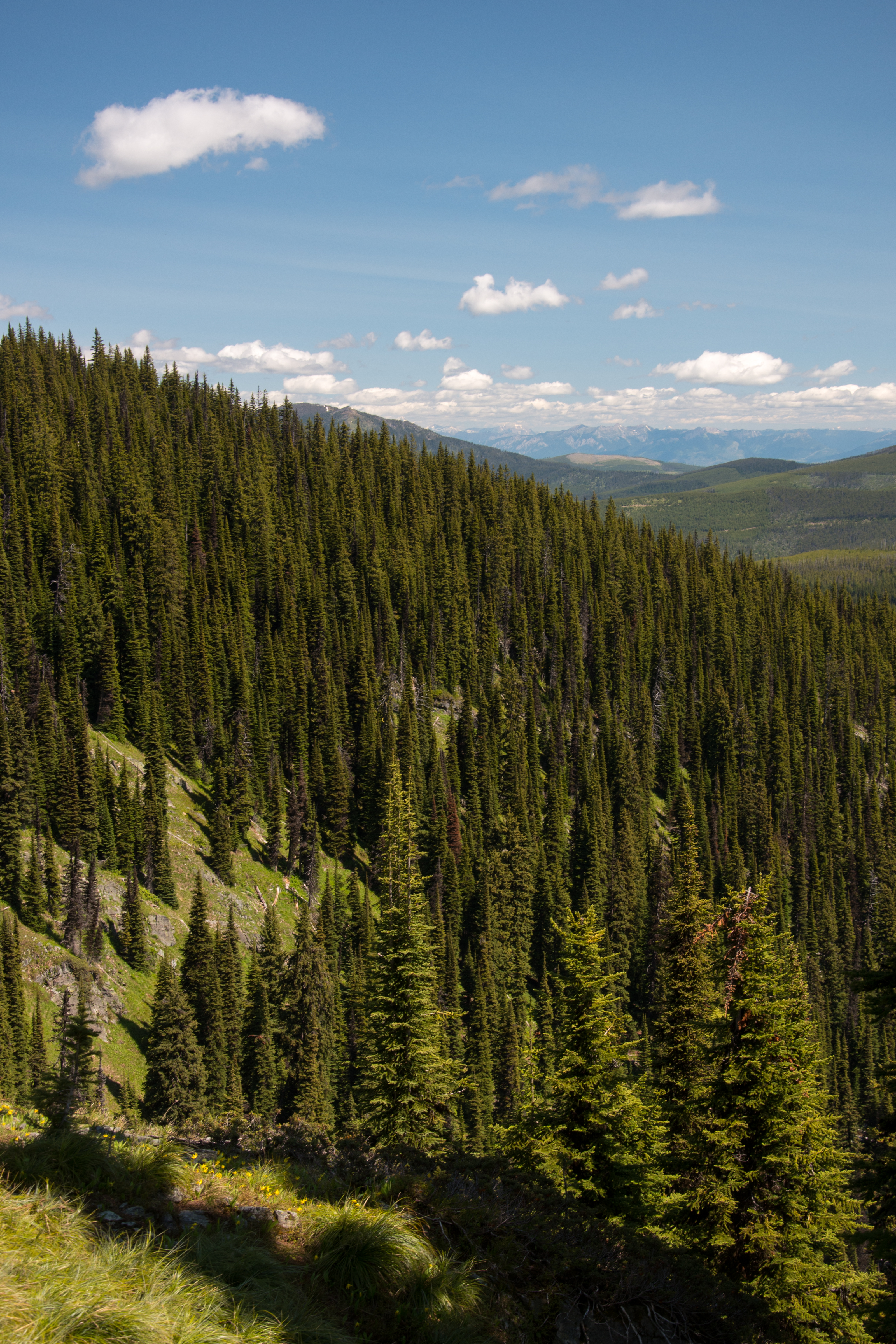
Looking east towards the Ten Lakes Scenic Area from the Pacific Northwest Trail on Boulder Mountain
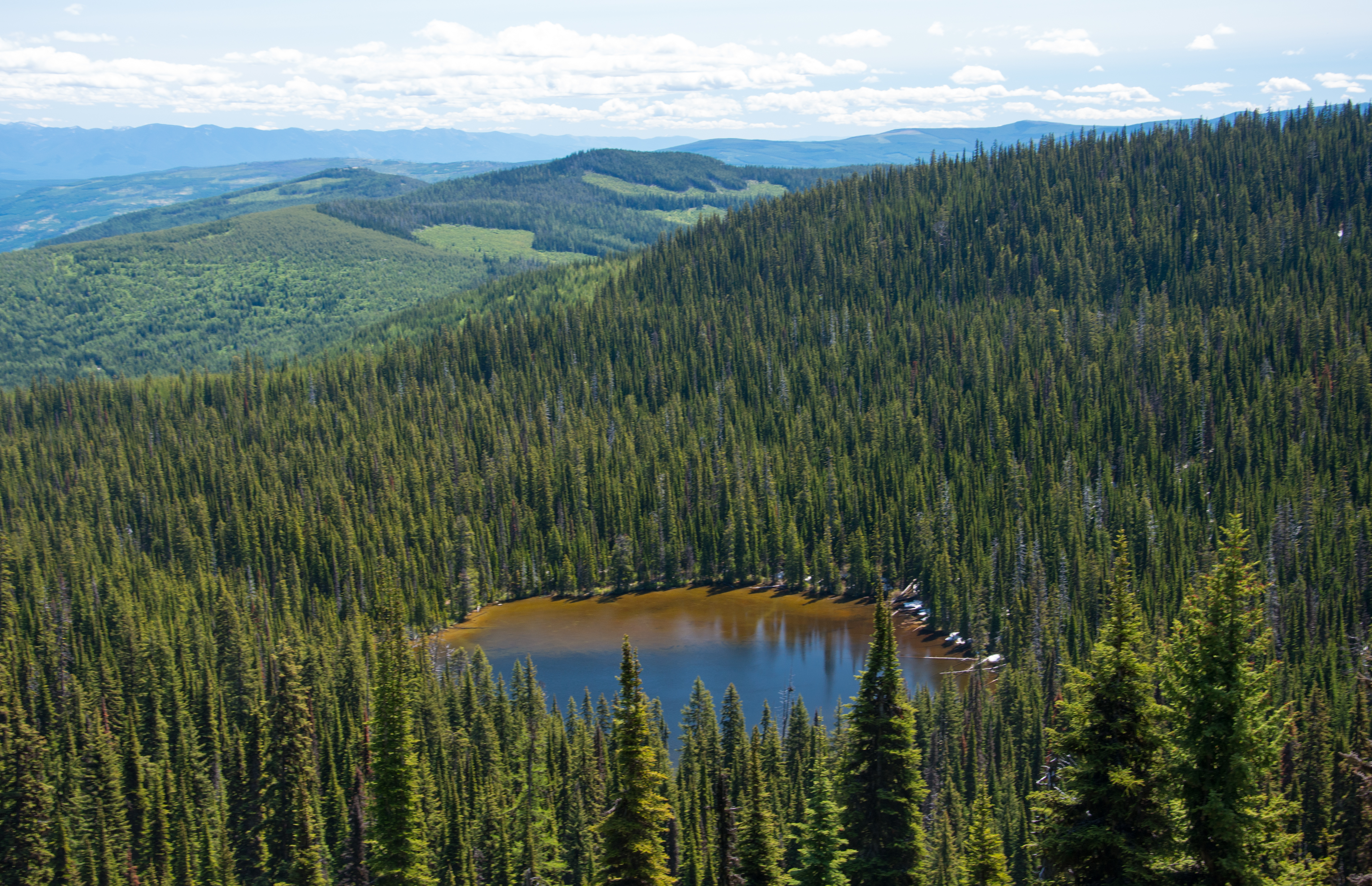
Looking down over Boulder Lakes from the Pacific Northwest Trail on the north side of Boulder Mountain
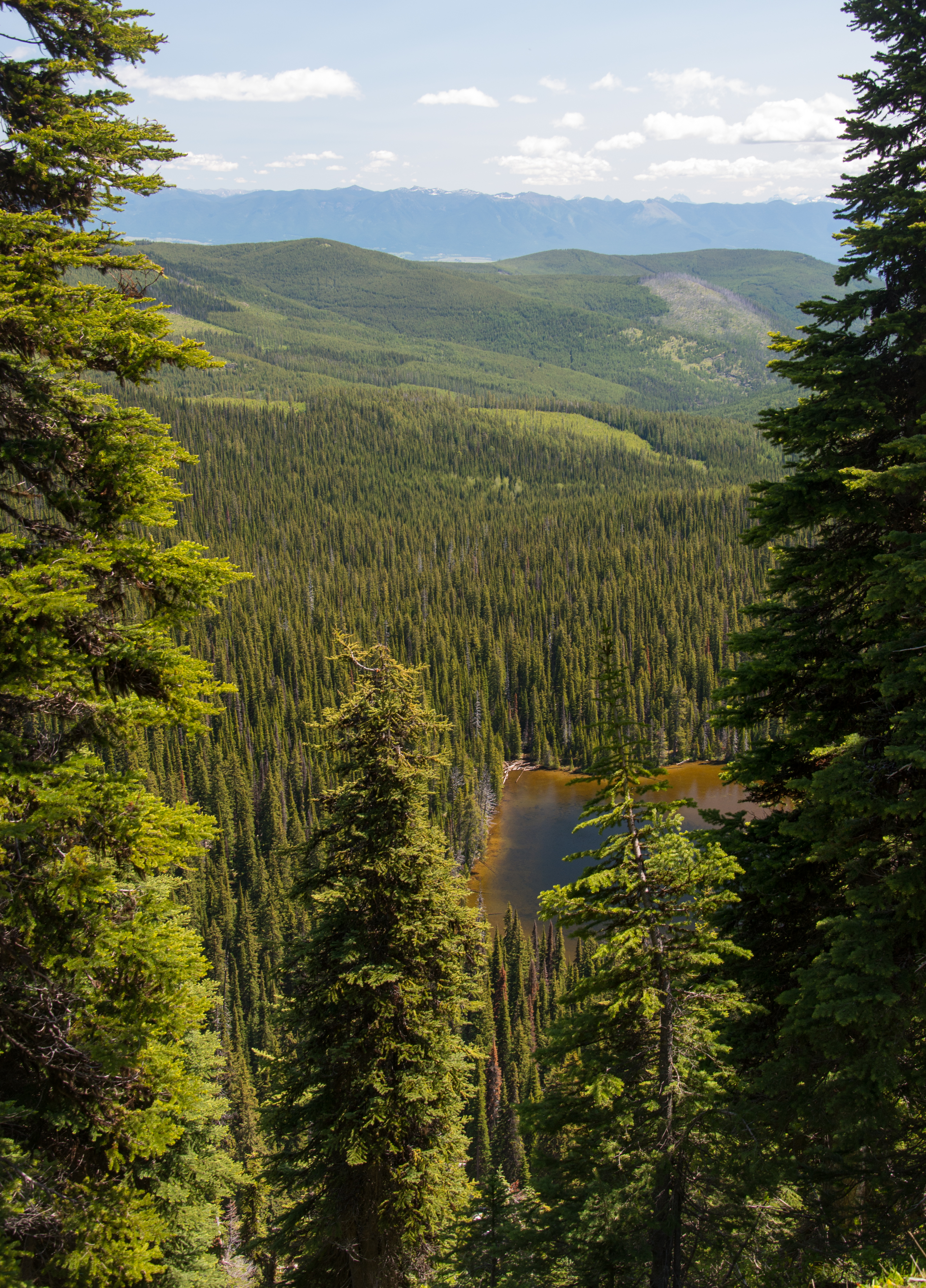
Looking down on Boulder Lake from the Pacific Northwest Trail through the saddle north of Boulder Mountain
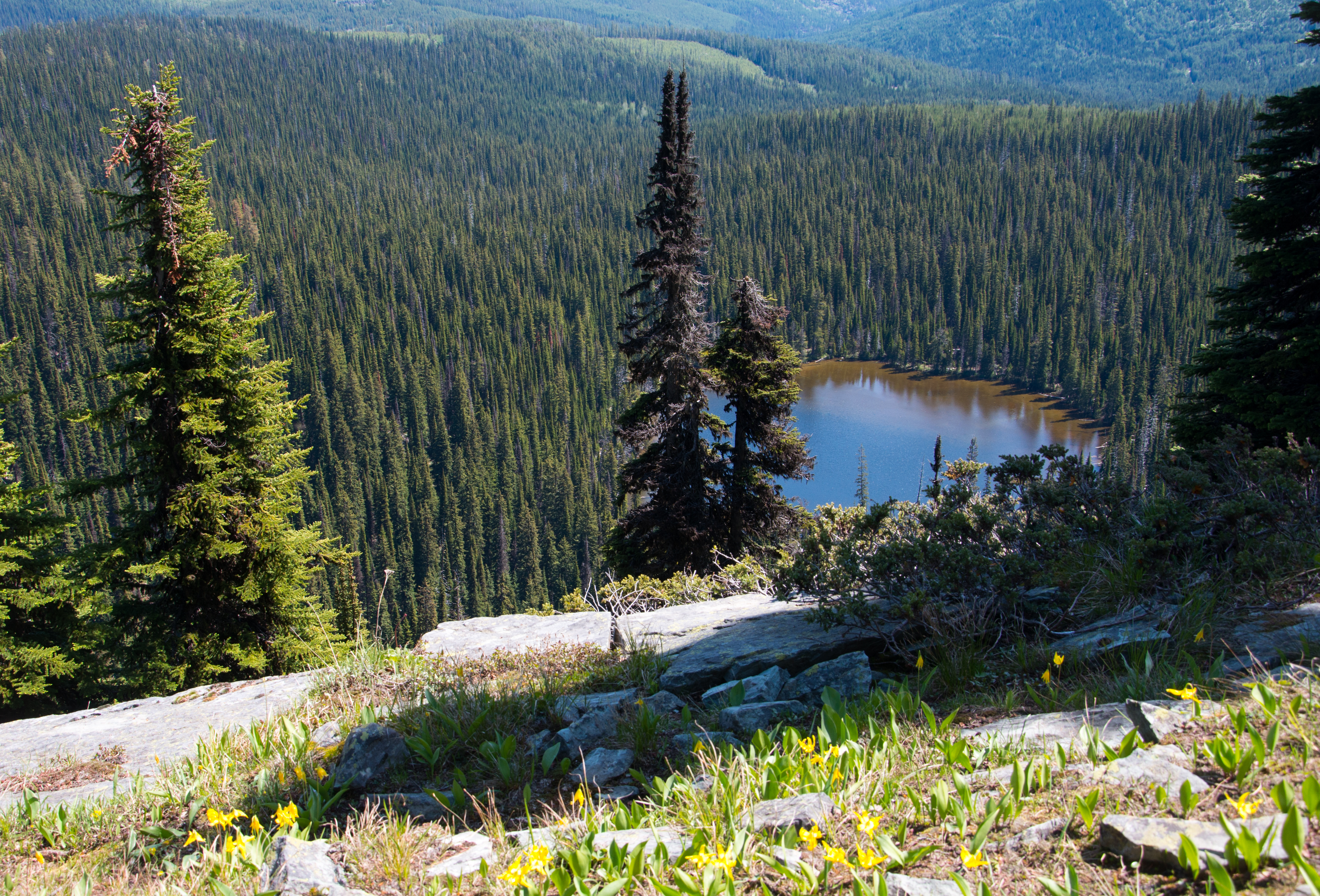
Looking down on Boulder Lake from northern ridge of Boulder Mountain
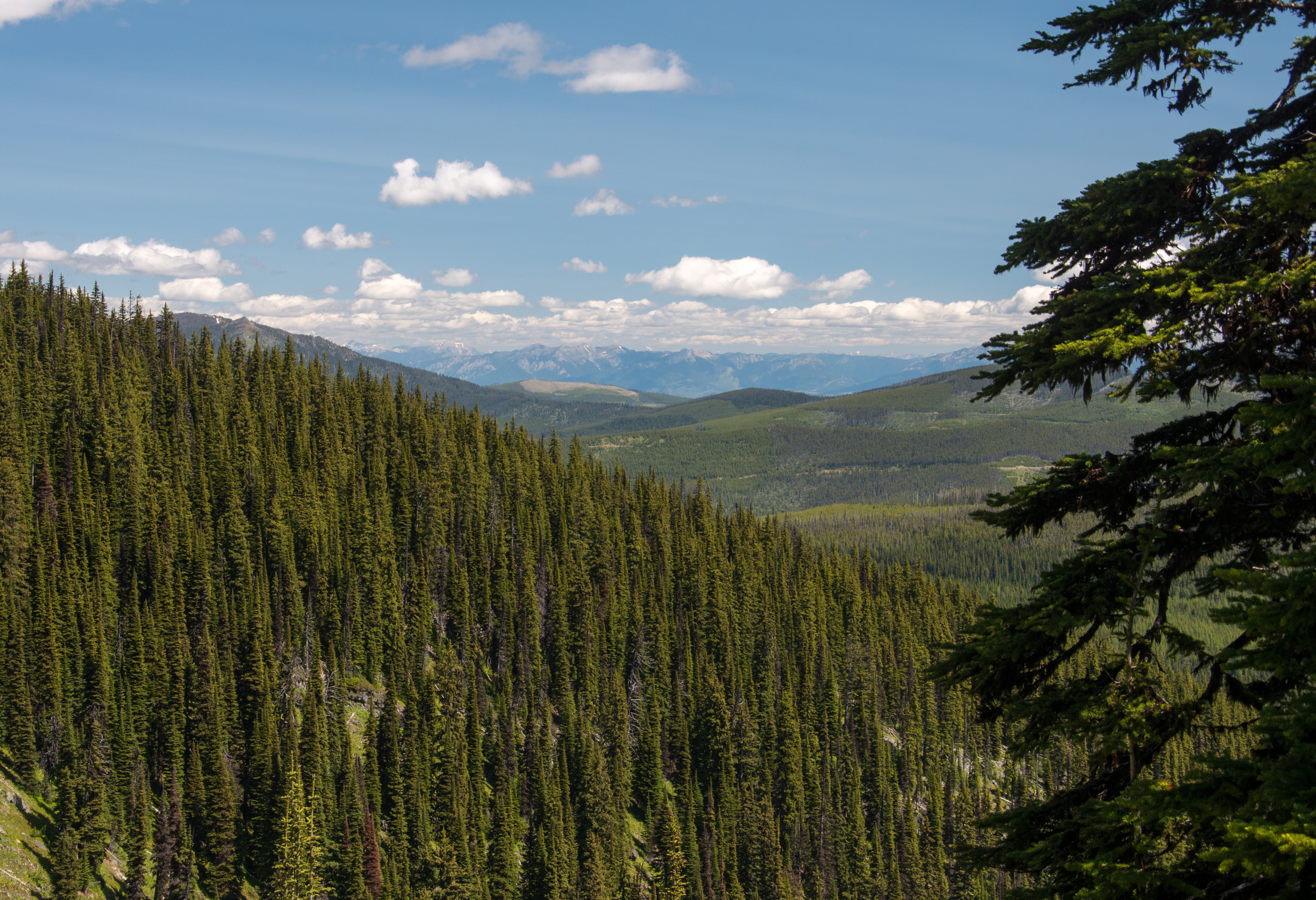
Looking east towards the Ten Lakes Scenic Area from the Pacific Northwest Trail on the north side of Boulder Mountain
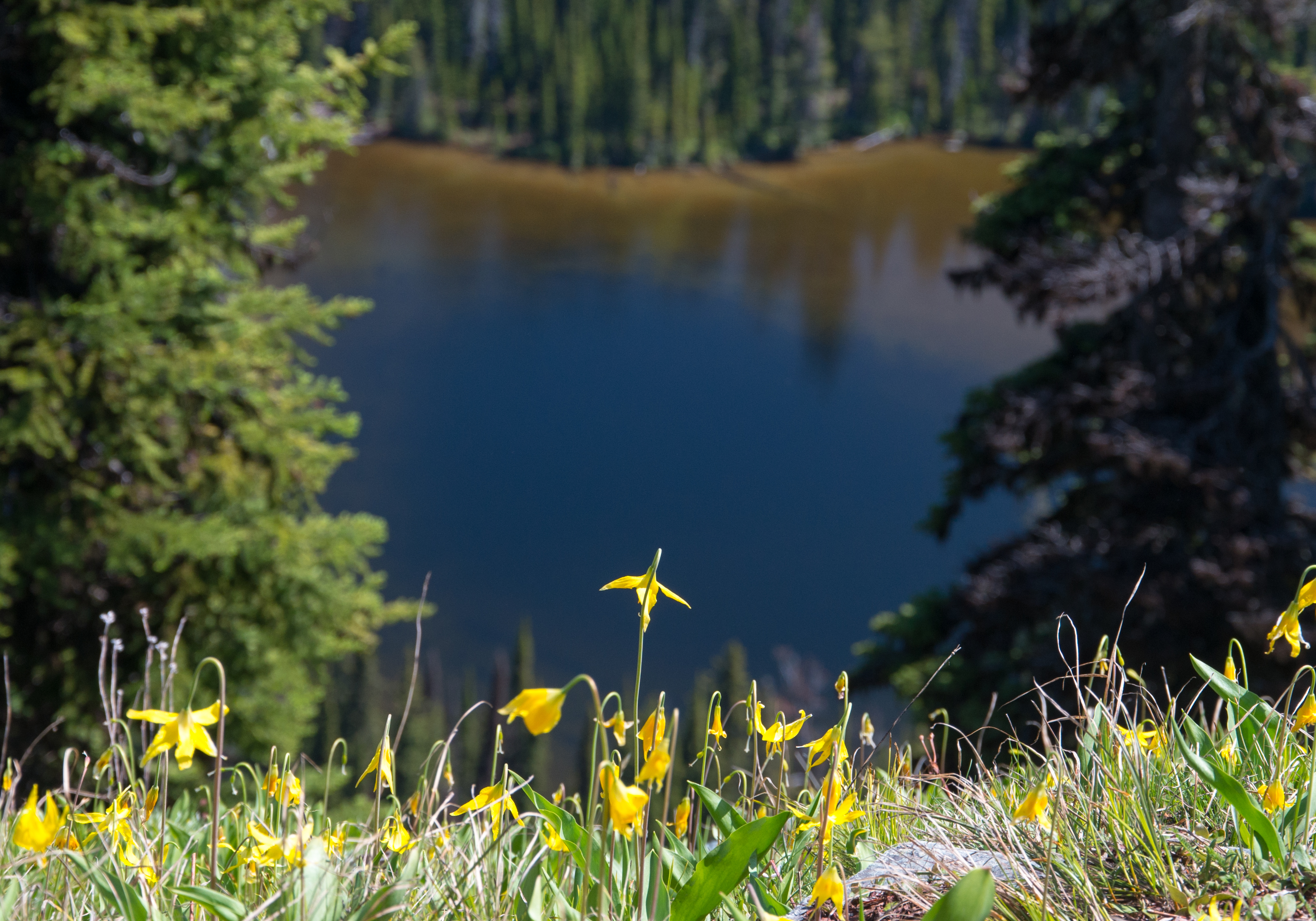
Early-summer wildflowers on Boulder Mountain with Boulder Lake below
Topographic Map of Robinson Mountain, Montana, USA
Find elevation by address:

Places near Robinson Mountain, Montana, USA:
Clingback Mountain
Mount Henry
295 Elk Haven Rd
38046 Yaak River Rd
34362 Yaak River Rd
Yaak
Lincoln County
17 Mile Creek Road
Black Top
616 Blue Mountain Lookout Rd
8932 Yaak River Rd
14454 Yaak River Rd
Northwest Peak
Davis Mountain
US-2, Libby, MT, USA
Libby
MT-37, Libby, MT, USA
Canuck Peak
Kootenai Falls
Yaak Mountain Lookout
Recent Searches:
- Elevation of Corso Fratelli Cairoli, 35, Macerata MC, Italy
- Elevation of Tallevast Rd, Sarasota, FL, USA
- Elevation of 4th St E, Sonoma, CA, USA
- Elevation of Black Hollow Rd, Pennsdale, PA, USA
- Elevation of Oakland Ave, Williamsport, PA, USA
- Elevation of Pedrógão Grande, Portugal
- Elevation of Klee Dr, Martinsburg, WV, USA
- Elevation of Via Roma, Pieranica CR, Italy
- Elevation of Tavkvetili Mountain, Georgia
- Elevation of Hartfords Bluff Cir, Mt Pleasant, SC, USA