Elevation of Clingback Mountain, Montana, USA
Location: United States > Montana > Rexford >
Longitude: -115.32156
Latitude: 48.9013503
Elevation: 1894m / 6214feet
Barometric Pressure: 81KPa
Elevation Map:
Satellite Map:
Related Photos:
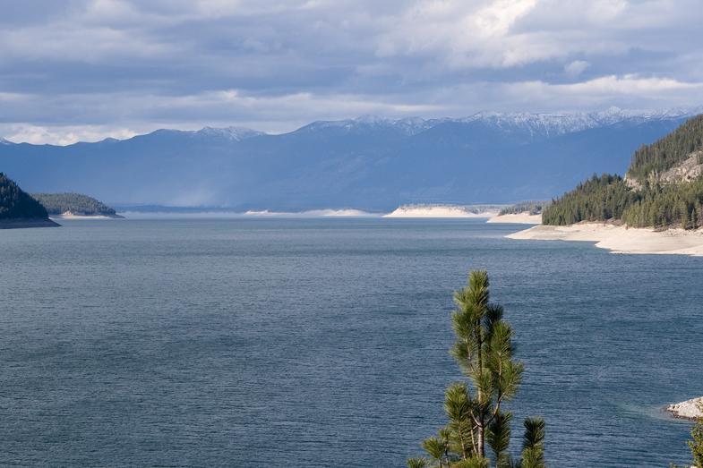
Koocanusa Lake view taken from the bridge
Topographic Map of Clingback Mountain, Montana, USA
Find elevation by address:

Places near Clingback Mountain, Montana, USA:
Robinson Mountain
Mount Henry
295 Elk Haven Rd
34362 Yaak River Rd
38046 Yaak River Rd
Yaak
616 Blue Mountain Lookout Rd
Lincoln County
17 Mile Creek Road
MT-37, Libby, MT, USA
Libby
Black Top
US-2, Libby, MT, USA
8932 Yaak River Rd
14454 Yaak River Rd
Kootenai Falls
Davis Mountain
Northwest Peak
Grambauer Mountain
Treasure Mountain
Recent Searches:
- Elevation of Corso Fratelli Cairoli, 35, Macerata MC, Italy
- Elevation of Tallevast Rd, Sarasota, FL, USA
- Elevation of 4th St E, Sonoma, CA, USA
- Elevation of Black Hollow Rd, Pennsdale, PA, USA
- Elevation of Oakland Ave, Williamsport, PA, USA
- Elevation of Pedrógão Grande, Portugal
- Elevation of Klee Dr, Martinsburg, WV, USA
- Elevation of Via Roma, Pieranica CR, Italy
- Elevation of Tavkvetili Mountain, Georgia
- Elevation of Hartfords Bluff Cir, Mt Pleasant, SC, USA