Elevation of Robert Young Rd, Ward, AR, USA
Location: United States > Arkansas > Lonoke County > Butler Township >
Longitude: -91.868604
Latitude: 35.020623
Elevation: 67m / 220feet
Barometric Pressure: 101KPa
Elevation Map:
Satellite Map:
Related Photos:

Goodness of Bread and Honey

Meet The Flockers

Birds of a feather...
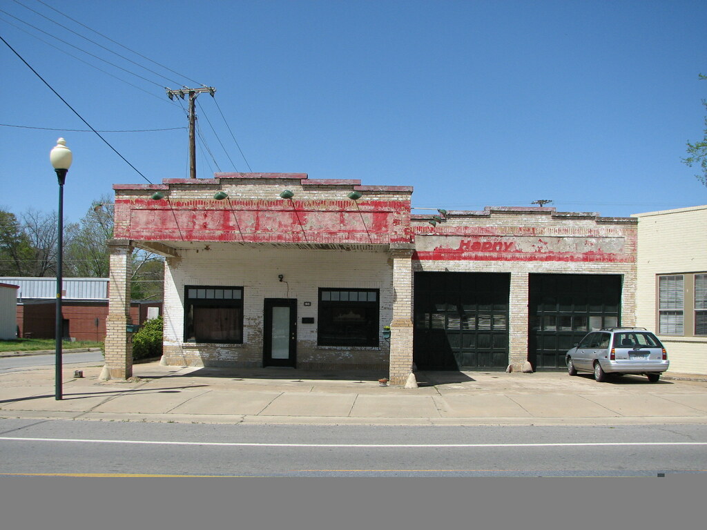
Beebe Esso I
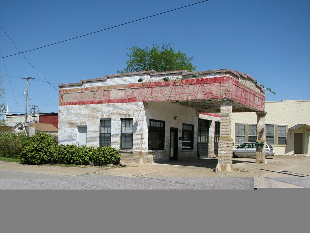
Beebe Esso II
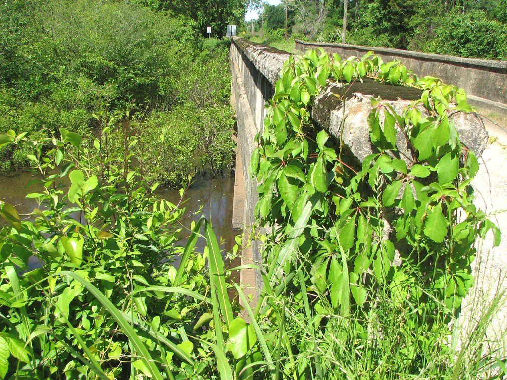
Bull Creek Relief (East)-Side View
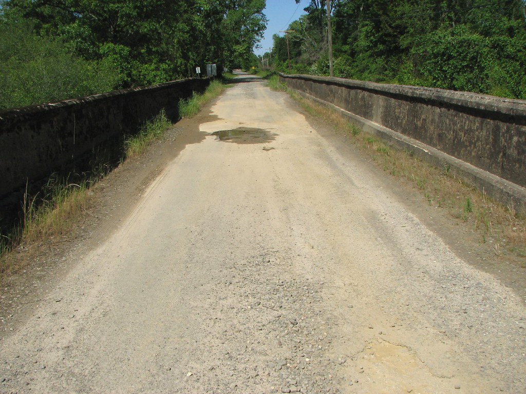
Bull Creek Relief (East)-Deck View

Another view of this beautiful haircut.????

(365)96-The sky after a storm.

Winter Photos

A bunch of birds over Beebe
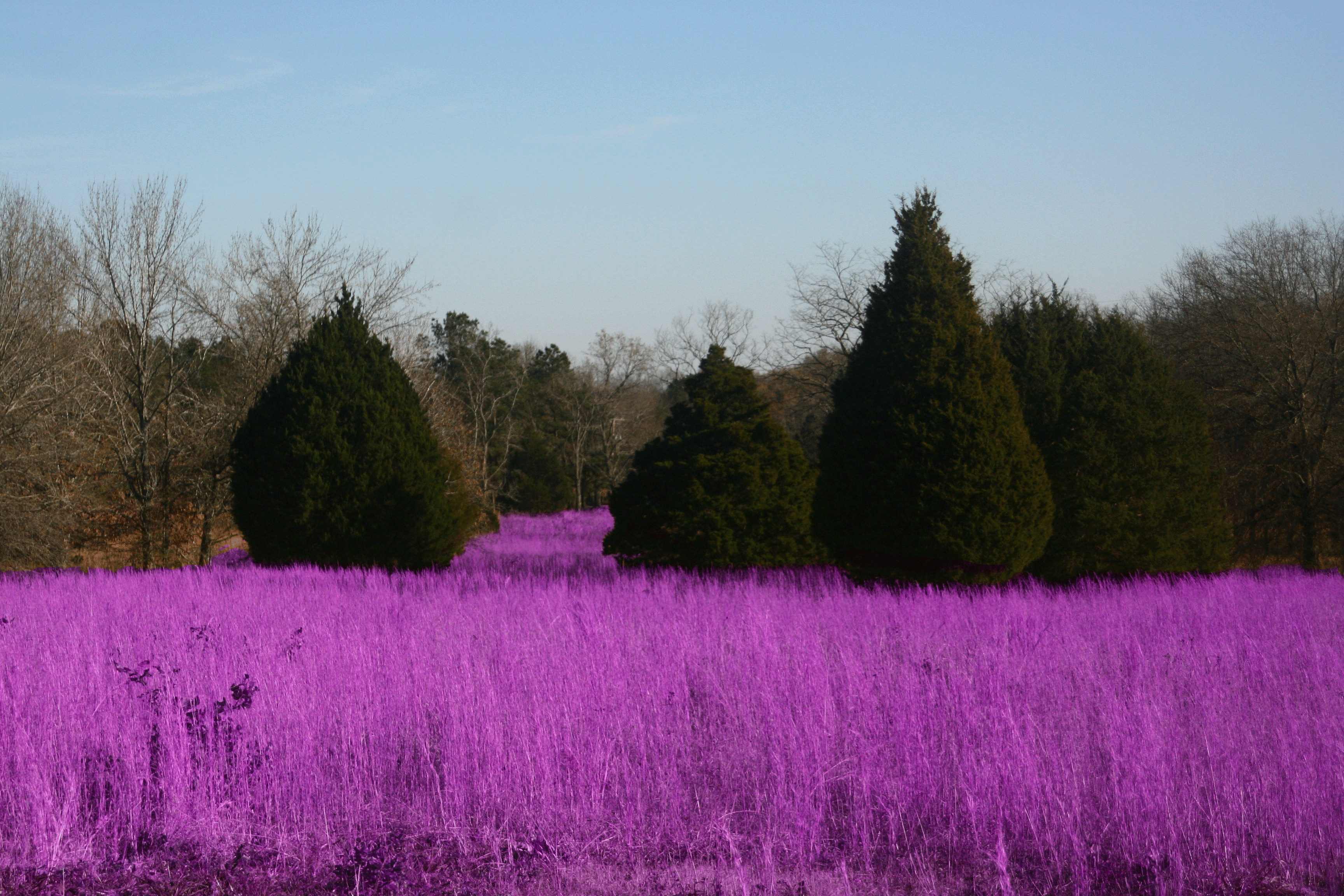
Grass isn't always greener

#mom2monkeysphotography #fishbreakfast #eatingbugs #park #pondlife #pretty #beautiful #breakfast #morning #cabot #canon30d #naturehippy #arkansas #explore #fun #instanaturefriends #notquitefull #simplebeauty #summerbeauty #wild #water

Bull Creek Bridge Remnants
Topographic Map of Robert Young Rd, Ward, AR, USA
Find elevation by address:

Places near Robert Young Rd, Ward, AR, USA:
Union Township
Beebe
Hattie Ln, Ward, AR, USA
505 N Apple St
Cypress Lane
2102 Aaron Rd
2681 Hwy 31
Ward
Davidson Rd, Beebe, AR, USA
Sweetwater Dr, Ward, AR, USA
Mcrae Township
Mcrae
Chrisp Township
729 Lebanon Rd
State Hwy, Beebe, AR, USA
Caroline Township
Austin
E Main St, Austin, AR, USA
30 Sally Haymes Rd, Austin, AR, USA
Oak Ridge Dr, Austin, AR, USA
Recent Searches:
- Elevation of Corso Fratelli Cairoli, 35, Macerata MC, Italy
- Elevation of Tallevast Rd, Sarasota, FL, USA
- Elevation of 4th St E, Sonoma, CA, USA
- Elevation of Black Hollow Rd, Pennsdale, PA, USA
- Elevation of Oakland Ave, Williamsport, PA, USA
- Elevation of Pedrógão Grande, Portugal
- Elevation of Klee Dr, Martinsburg, WV, USA
- Elevation of Via Roma, Pieranica CR, Italy
- Elevation of Tavkvetili Mountain, Georgia
- Elevation of Hartfords Bluff Cir, Mt Pleasant, SC, USA