Elevation of RM, Mertzon, TX, USA
Location: United States > Texas > Irion County >
Longitude: -100.78279
Latitude: 31.4374421
Elevation: 637m / 2090feet
Barometric Pressure: 94KPa
Elevation Map:
Satellite Map:
Related Photos:
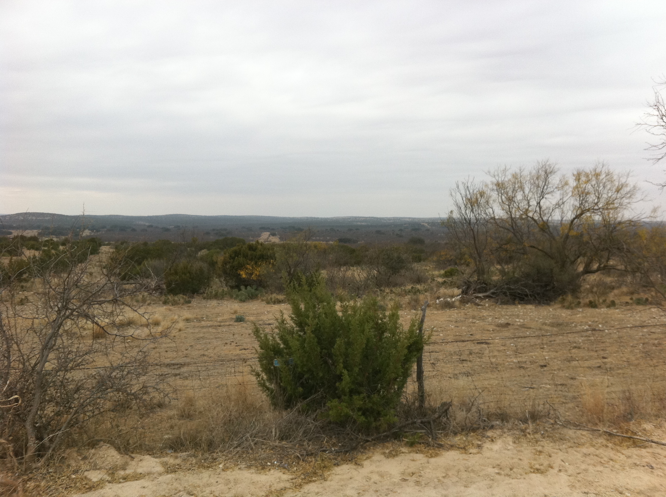
View from the office today.

Another ranch sunset.
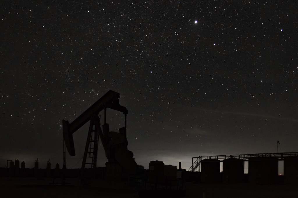
Oilfield under the stars

Tim vs. The Armadillo

Peppi says hi

Double Trouble
Topographic Map of RM, Mertzon, TX, USA
Find elevation by address:

Places near RM, Mertzon, TX, USA:
Wabash Ave, Mertzon, TX, USA
12977 Spring Creek Ln
12977 Dove Creek Ln W
11706 Spring Creek Ln
11450 Spring Creek Ln
11277 Spring Creek Ln
11277 Spring Creek Ln
11377 Spring Creek Ln
11253 Spring Creek Ln
11253 Spring Creek Ln
11253 Spring Creek Ln
Irion County
11277 Spring Creek Ln
11289 Spring Creek Ln
Carlsbad
6502 Appaloosa Trail
6502 Stage Coach Trail
Grape Creek Rd, San Angelo, TX, USA
3633 Dominion Ridge
11277 Spring Creek Dr
Recent Searches:
- Elevation of Corso Fratelli Cairoli, 35, Macerata MC, Italy
- Elevation of Tallevast Rd, Sarasota, FL, USA
- Elevation of 4th St E, Sonoma, CA, USA
- Elevation of Black Hollow Rd, Pennsdale, PA, USA
- Elevation of Oakland Ave, Williamsport, PA, USA
- Elevation of Pedrógão Grande, Portugal
- Elevation of Klee Dr, Martinsburg, WV, USA
- Elevation of Via Roma, Pieranica CR, Italy
- Elevation of Tavkvetili Mountain, Georgia
- Elevation of Hartfords Bluff Cir, Mt Pleasant, SC, USA