Elevation of Spring Creek Ln, San Angelo, TX, USA
Location: United States > Texas > Tom Green County > San Angelo >
Longitude: -100.60501
Latitude: 31.3265621
Elevation: 596m / 1955feet
Barometric Pressure: 94KPa
Elevation Map:
Satellite Map:
Related Photos:
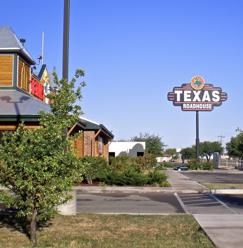
Texas Roadhouse

Lake Nasworthy Pier San Angelo, Texas

Nasworthy sunset

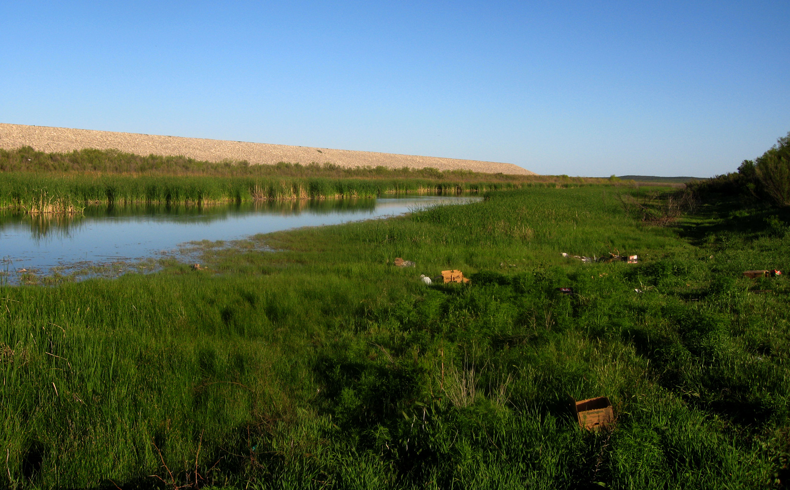
Lake Nasworthy, San Angelo, Texas

take off at Lake Nasworthy - San Angelo, Texas

Plant Silhouette

Lake Nasworthy, San Angelo, Texas
kayak - eq channel

Sunset cruise - Lake Nasworthy - San Angelo, Texas
double duty cleaning the crack

Picture 314
Topographic Map of Spring Creek Ln, San Angelo, TX, USA
Find elevation by address:

Places near Spring Creek Ln, San Angelo, TX, USA:
11277 Spring Creek Ln
11253 Spring Creek Ln
11253 Spring Creek Ln
11253 Spring Creek Ln
11277 Spring Creek Ln
11377 Spring Creek Ln
11289 Spring Creek Ln
11450 Spring Creek Ln
11706 Spring Creek Ln
12977 Spring Creek Ln
12977 Dove Creek Ln W
11277 Spring Creek Dr
3633 Dominion Ridge
6502 Appaloosa Trail
6502 Stage Coach Trail
1862 S Concho Dr
5205 Green Valley Trail
115 Camino Real St
3602 Leal Rd
Inglewood Dr, San Angelo, TX, USA
Recent Searches:
- Elevation of Corso Fratelli Cairoli, 35, Macerata MC, Italy
- Elevation of Tallevast Rd, Sarasota, FL, USA
- Elevation of 4th St E, Sonoma, CA, USA
- Elevation of Black Hollow Rd, Pennsdale, PA, USA
- Elevation of Oakland Ave, Williamsport, PA, USA
- Elevation of Pedrógão Grande, Portugal
- Elevation of Klee Dr, Martinsburg, WV, USA
- Elevation of Via Roma, Pieranica CR, Italy
- Elevation of Tavkvetili Mountain, Georgia
- Elevation of Hartfords Bluff Cir, Mt Pleasant, SC, USA