Elevation of River Run, Queenstown, MD, USA
Location: United States > Maryland > Queen Anne's County > 5, Queenstown > Queenstown >
Longitude: -76.162563
Latitude: 38.943763
Elevation: 5m / 16feet
Barometric Pressure: 101KPa
Elevation Map:
Satellite Map:
Related Photos:

Hot & Cold [Explore #82]

Light Trail Under the Moon
Green Day

Green Day at Lake
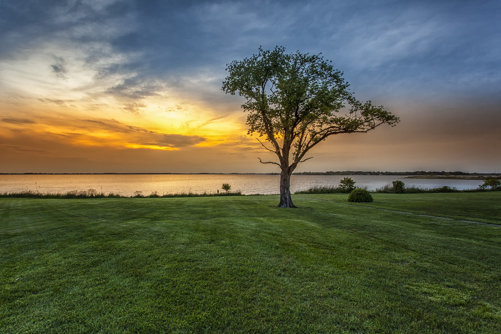
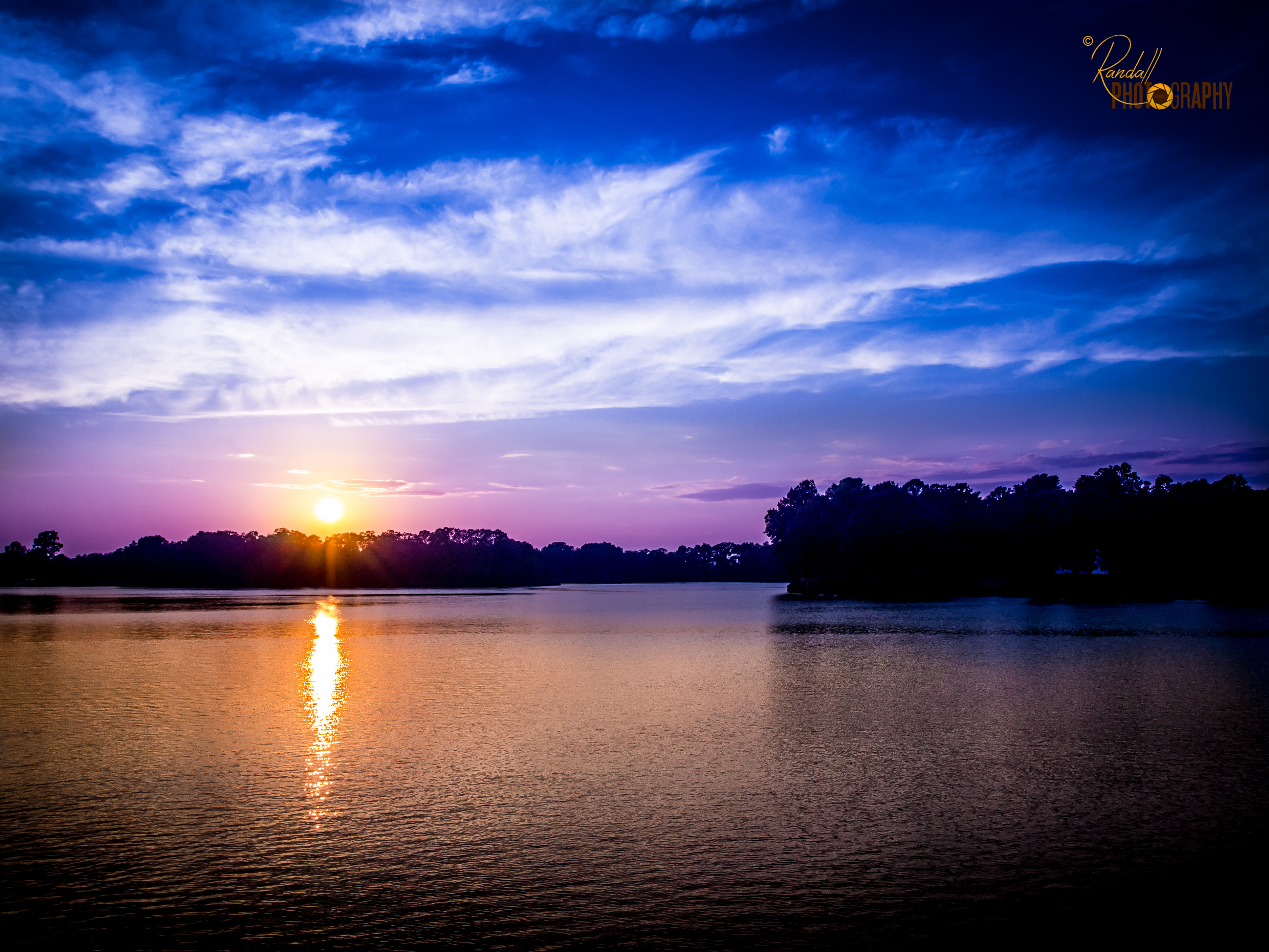
Peaceful Sunset
Dreaming Landscape
View from inside Marshmaster

the house

drama queen
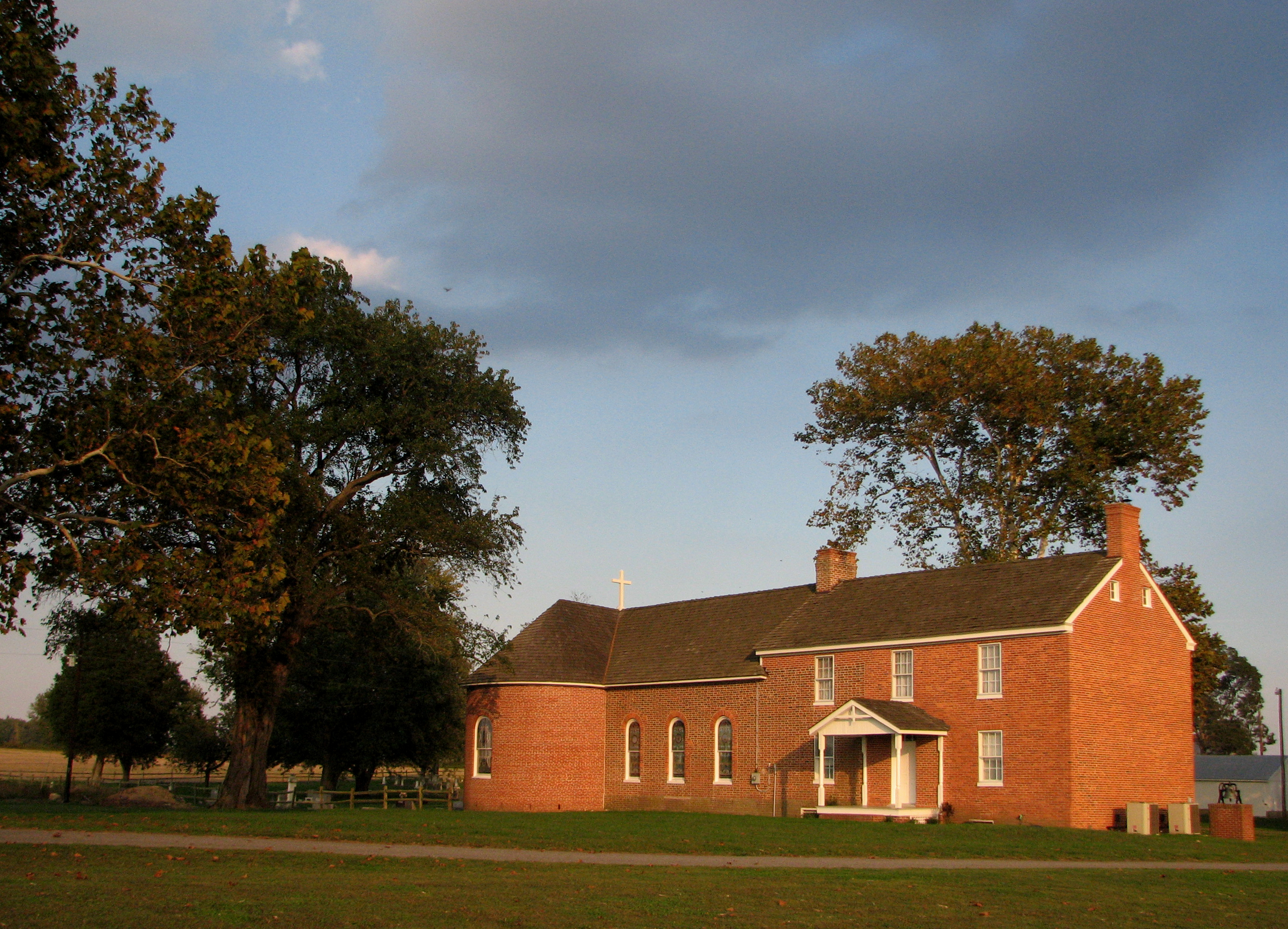
St. Joseph's near Cordova, Maryland, 1765

Hotel view.

2012-11-27 Ruff 3451
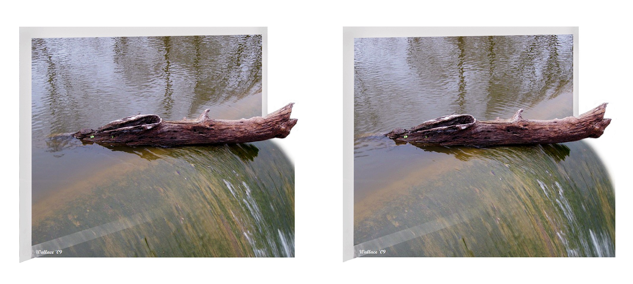
Wye Mills Lake Spill
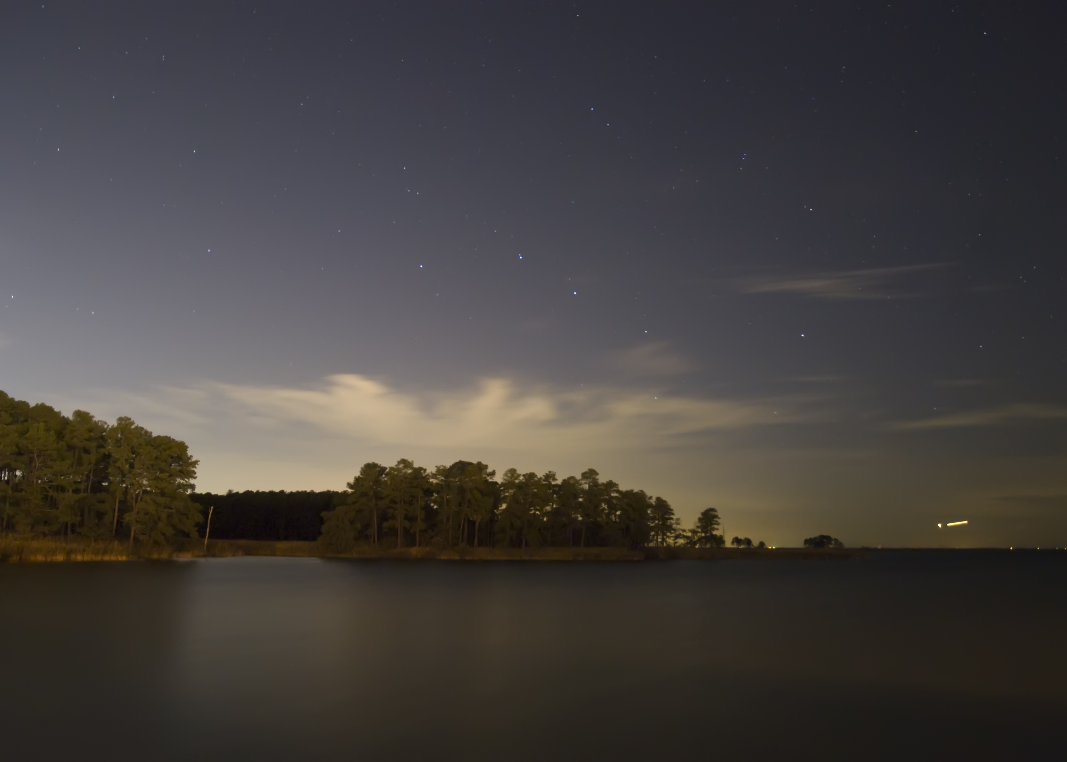
Starry Night, Moonless Sky
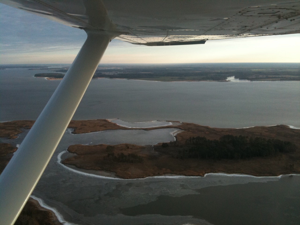
Aerial view of Hale Cove

Loggerhead Shrike (Lanius ludovicianus)
X marks the spot

Loggerhead Shrike (Lanius ludovicianus)

A lonely lady
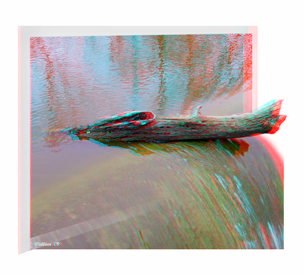
Wye Mills Lake Spill
Wye Mills Lake Spill
embrace the solitude

Green Wheat Stand Up

The Bay Bridge At Sunset

Peaceful Sunset
The Sunset At Wye

Chesapeake Bay Environmental Center in Grasonville, Md.
Chesapeake Day's End

Kent Island Sunset
#crabcakesandkarats ⛵⚓✌
Rt. 50
#annapolis #kentisland ⚓️⛵️☀️
#crabcakesandkarats ⛵⚓✌
#annapolis #kentisland ⚓️⛵️#ruleofthirds
#crabcakesandkarats ⛵⚓✌
#crabcakesandkarats ⛵⚓✌
Eastern Neck NWR - Dock Sunset (3 of 5)
Topographic Map of River Run, Queenstown, MD, USA
Find elevation by address:

Places near River Run, Queenstown, MD, USA:
812 Sportsman Neck Rd
Wye Harbor Dr, Queenstown, MD, USA
414 Sawmill Ln
136 Tall Pines Ln
5, Queenstown
116 Mainbrace Dr
336 Timber Ln
12 Fairway Island
8 Fairway Island
313 Wye Rd
Greenwood Creek Rd, Queenstown, MD, USA
5 Captain Ct
300 Country Ln
335 Prospect Bay Dr W
Prospect Bay Drive West
Queenstown
4 N Harbor Dr, Grasonville, MD, USA
Grasonville
455 Wye Island Rd
4 S Harbor Ct
Recent Searches:
- Elevation of Corso Fratelli Cairoli, 35, Macerata MC, Italy
- Elevation of Tallevast Rd, Sarasota, FL, USA
- Elevation of 4th St E, Sonoma, CA, USA
- Elevation of Black Hollow Rd, Pennsdale, PA, USA
- Elevation of Oakland Ave, Williamsport, PA, USA
- Elevation of Pedrógão Grande, Portugal
- Elevation of Klee Dr, Martinsburg, WV, USA
- Elevation of Via Roma, Pieranica CR, Italy
- Elevation of Tavkvetili Mountain, Georgia
- Elevation of Hartfords Bluff Cir, Mt Pleasant, SC, USA