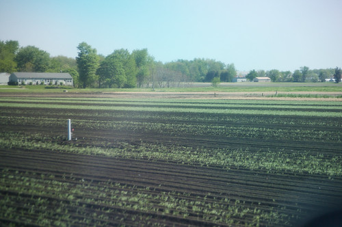
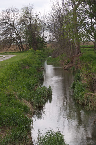
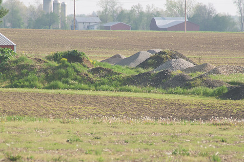
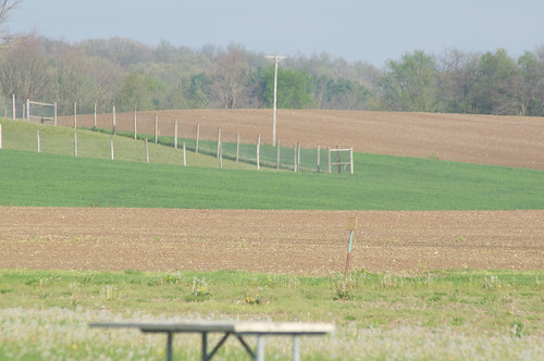
Elevation of Ripley Township, OH, USA
Location: United States > Ohio > Huron County >
Longitude: -82.583494
Latitude: 41.0222806
Elevation: 317m / 1040feet
Barometric Pressure: 98KPa
Related Photos:
Topographic Map of Ripley Township, OH, USA
Find elevation by address:

Places in Ripley Township, OH, USA:
Places near Ripley Township, OH, USA:
Main St, Willard, OH, USA
Shiloh
OH-, Shiloh, OH, USA
Greenwich
1745 Fairfield Angling Rd
1612 Fairfield Angling Rd
4902 Rome Greenwich Rd
Fairfield Township
North Fairfield
Greenwich Township
31 W Main St, New London, OH, USA
New London
1041 Township Rd 1041
541 Township Rd 1041
Troy Township
Nova
US-, Nova, OH, USA
Rochester Township
State St, Oberlin, OH, USA
Rochester
Recent Searches:
- Elevation of Corso Fratelli Cairoli, 35, Macerata MC, Italy
- Elevation of Tallevast Rd, Sarasota, FL, USA
- Elevation of 4th St E, Sonoma, CA, USA
- Elevation of Black Hollow Rd, Pennsdale, PA, USA
- Elevation of Oakland Ave, Williamsport, PA, USA
- Elevation of Pedrógão Grande, Portugal
- Elevation of Klee Dr, Martinsburg, WV, USA
- Elevation of Via Roma, Pieranica CR, Italy
- Elevation of Tavkvetili Mountain, Georgia
- Elevation of Hartfords Bluff Cir, Mt Pleasant, SC, USA
