Elevation of Greenwich Township, OH, USA
Location: United States > Ohio > Huron County >
Longitude: -82.486105
Latitude: 41.0259915
Elevation: 328m / 1076feet
Barometric Pressure: 97KPa
Elevation Map:
Satellite Map:
Related Photos:
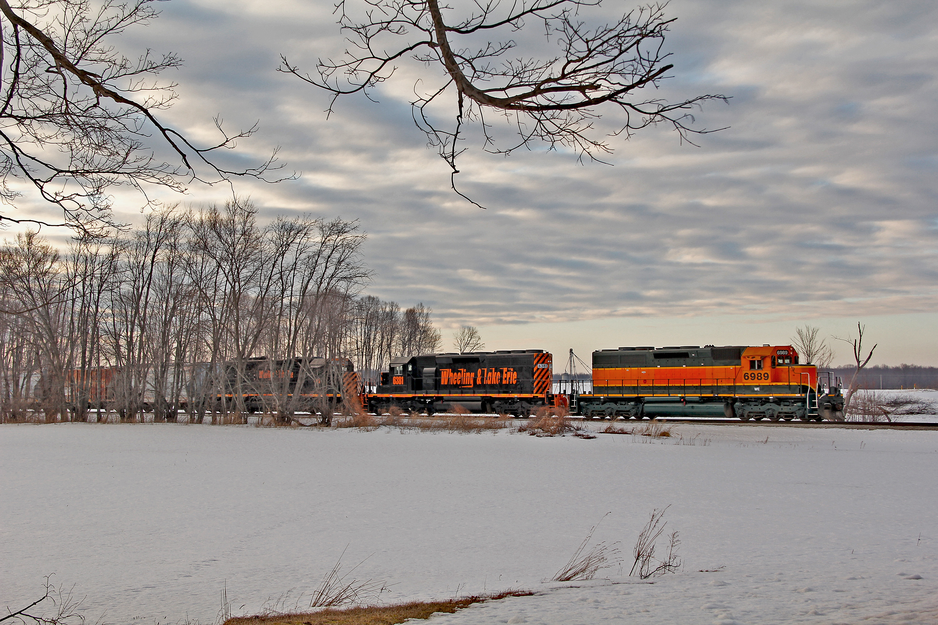
A Front is Moving In

CSX Boxcar Logo
Street View
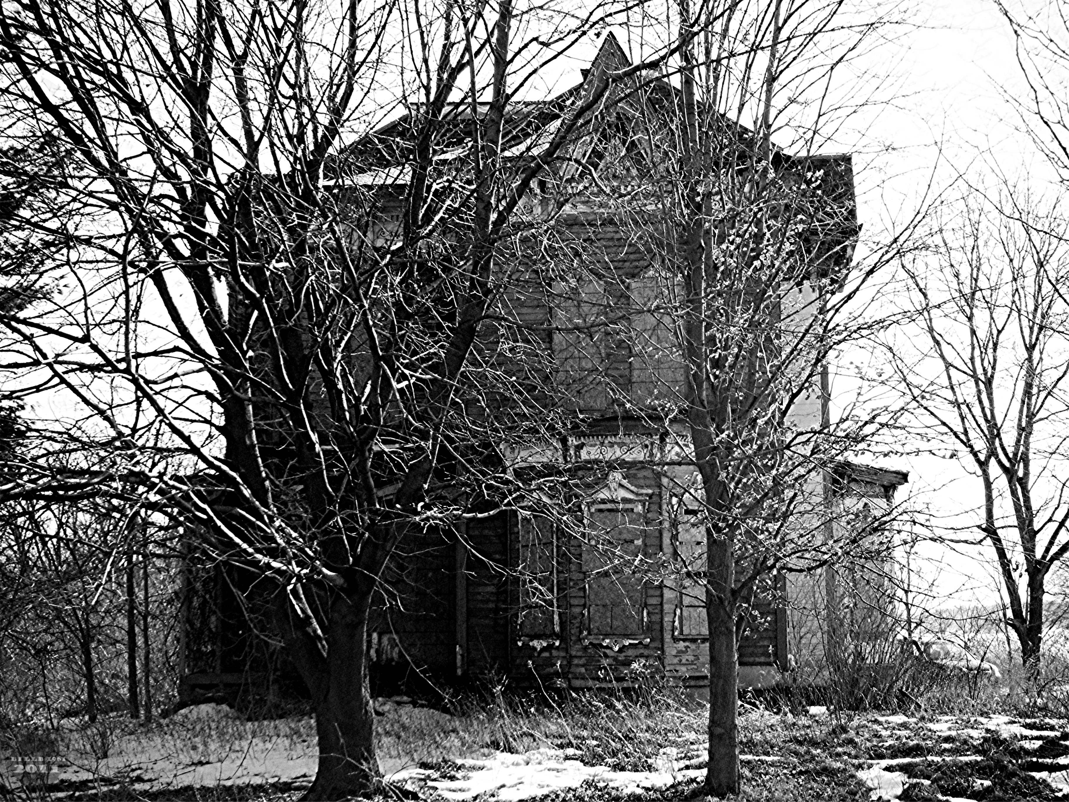
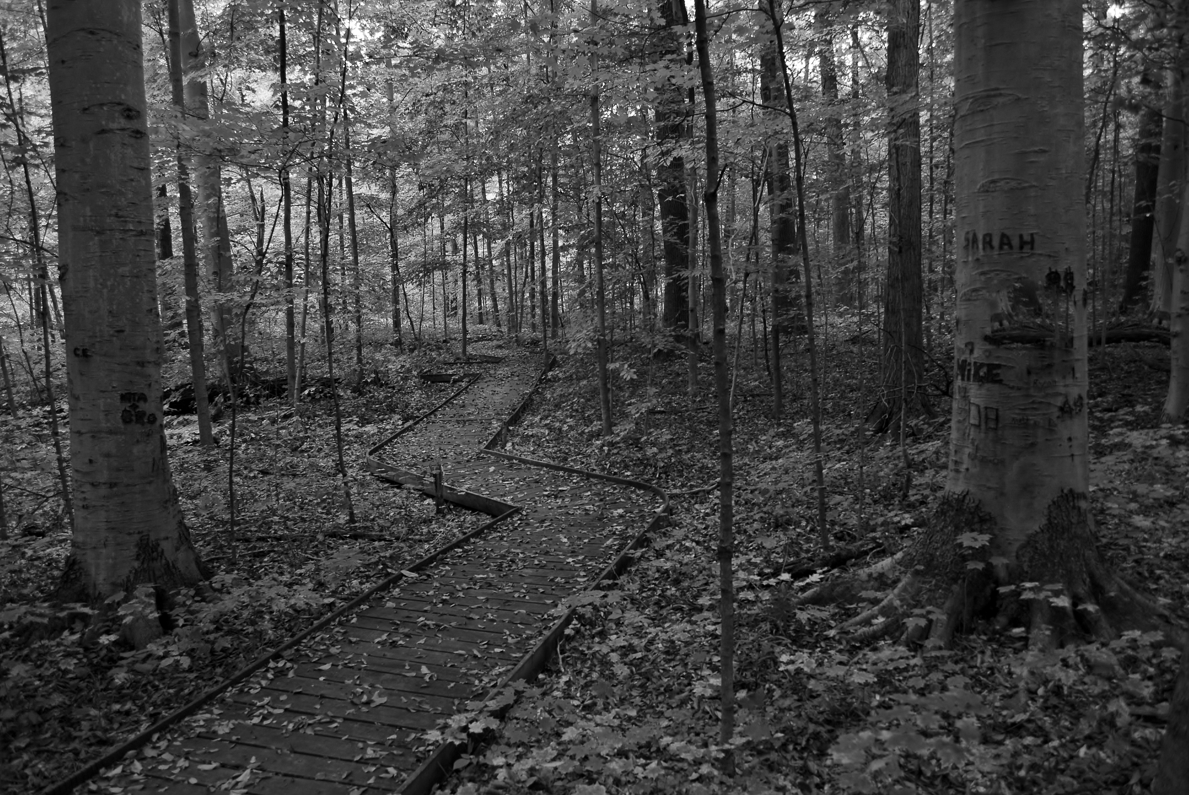
Almost Hidden

Memorable Memorial Day Weekend: 9
img_1034.jpg

Double Rainbow

Ohio Snowfall
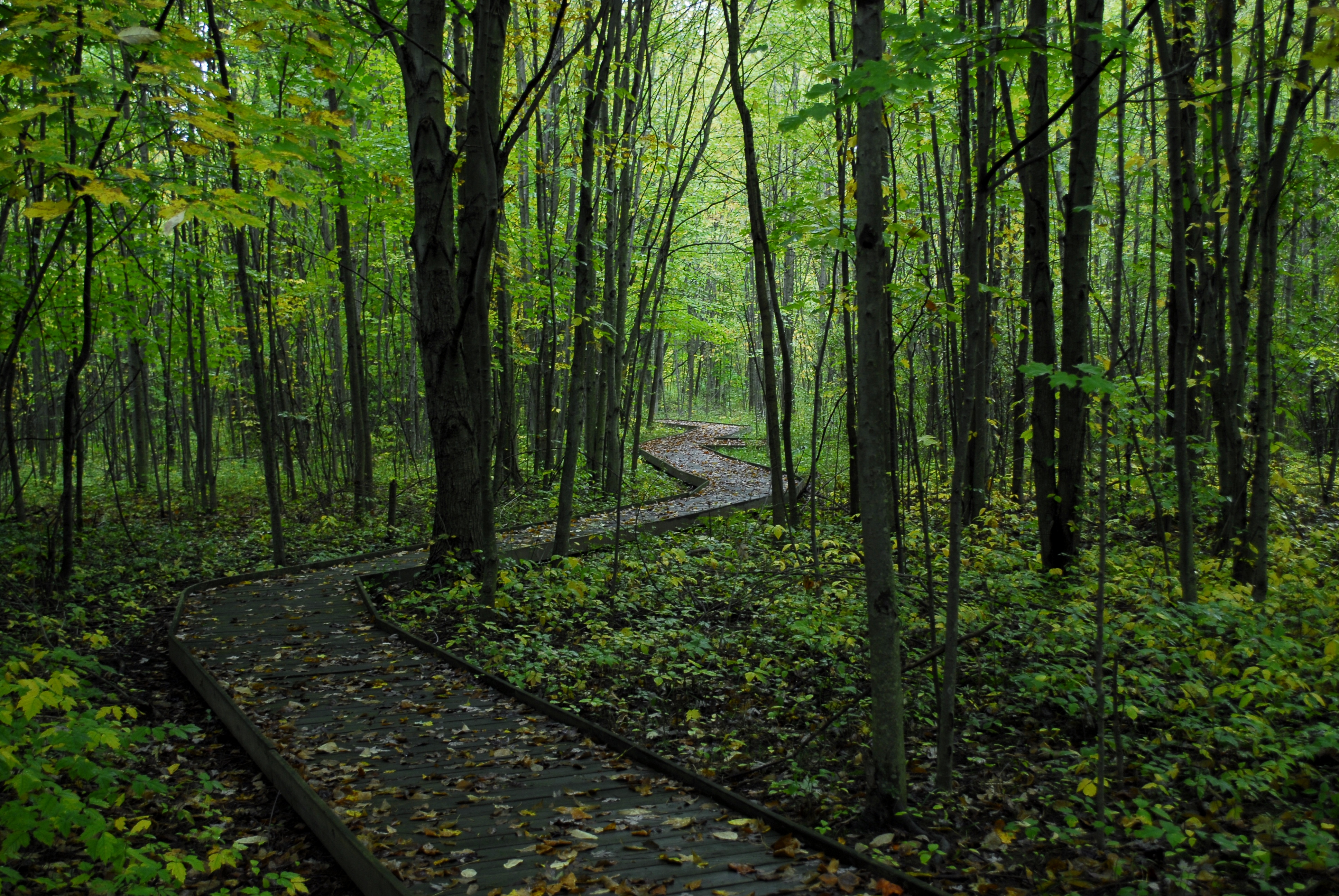
pathway to hope.

Amy was here.
we walk together as a team.
Salad Shooter At Greenwich
End of the Road
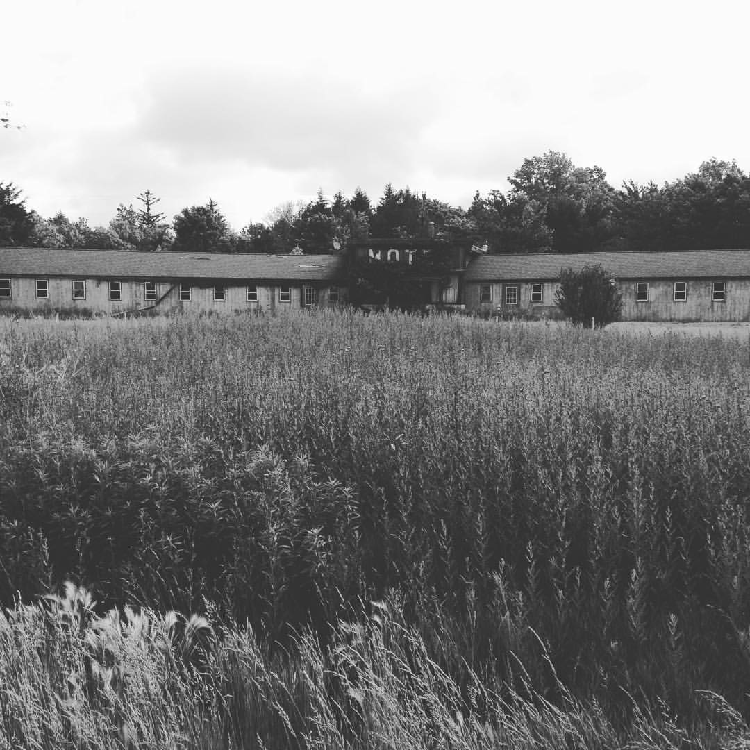
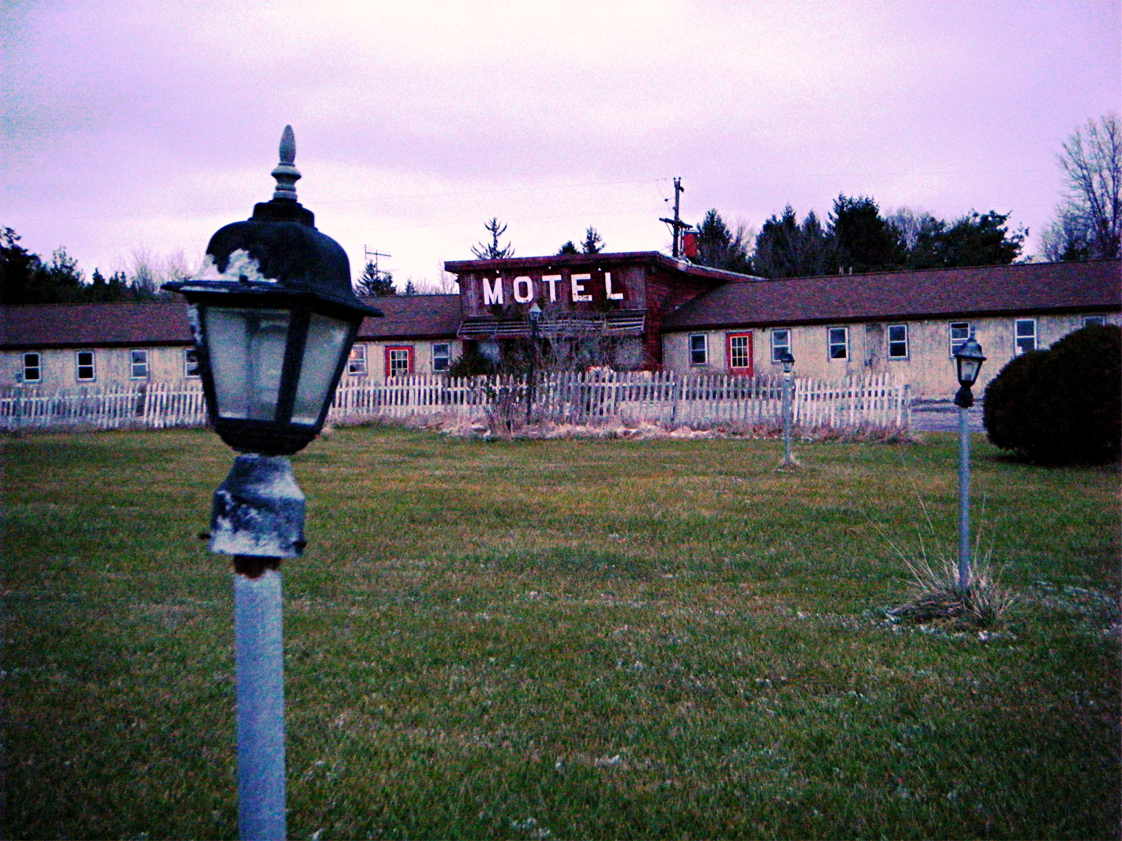
#motel #abandoned

June Sunrise
Topographic Map of Greenwich Township, OH, USA
Find elevation by address:

Places near Greenwich Township, OH, USA:
Greenwich
4902 Rome Greenwich Rd
Ripley Township
31 W Main St, New London, OH, USA
New London
1745 Fairfield Angling Rd
OH-, Shiloh, OH, USA
1612 Fairfield Angling Rd
Fairfield Township
Main St, Willard, OH, USA
Shiloh
North Fairfield
541 Township Rd 1041
1041 Township Rd 1041
Troy Township
Nova
US-, Nova, OH, USA
Rochester Township
807 Township Rd 462
State St, Oberlin, OH, USA
Recent Searches:
- Elevation of Corso Fratelli Cairoli, 35, Macerata MC, Italy
- Elevation of Tallevast Rd, Sarasota, FL, USA
- Elevation of 4th St E, Sonoma, CA, USA
- Elevation of Black Hollow Rd, Pennsdale, PA, USA
- Elevation of Oakland Ave, Williamsport, PA, USA
- Elevation of Pedrógão Grande, Portugal
- Elevation of Klee Dr, Martinsburg, WV, USA
- Elevation of Via Roma, Pieranica CR, Italy
- Elevation of Tavkvetili Mountain, Georgia
- Elevation of Hartfords Bluff Cir, Mt Pleasant, SC, USA