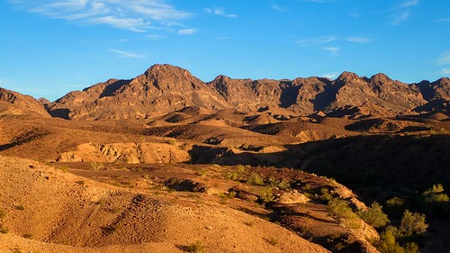
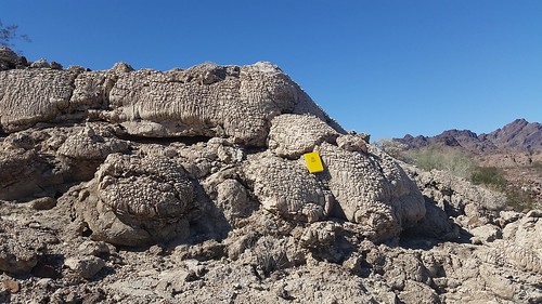
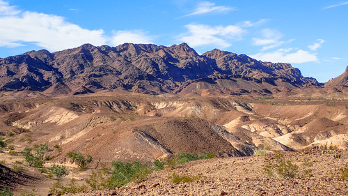
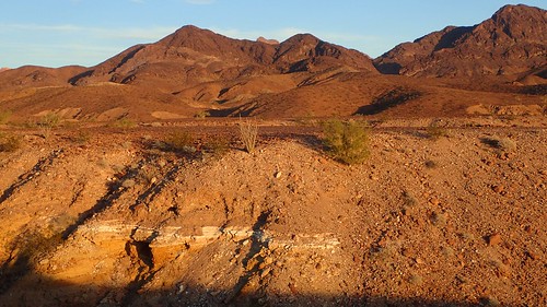
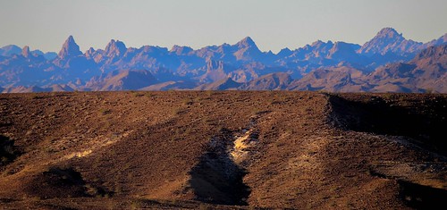
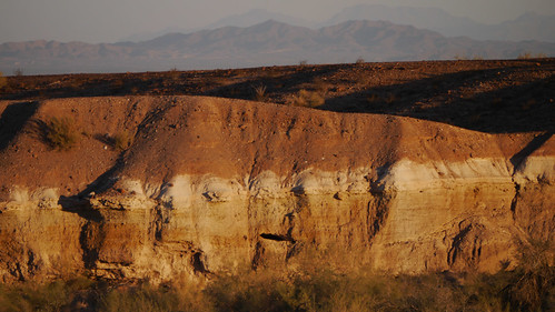
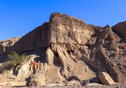
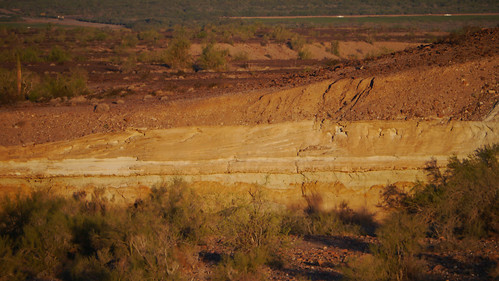
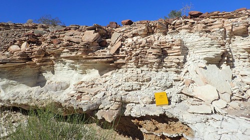
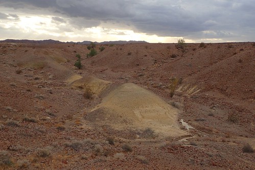
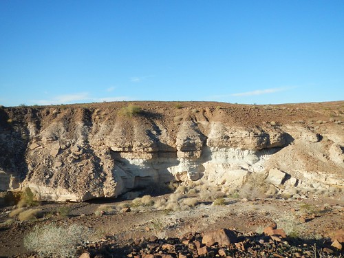
Elevation of Rio Vista Way, Palo Verde, CA, USA
Location: United States > California > Imperial County > Palo Verde >
Longitude: -114.67864
Latitude: 33.228516
Elevation: 66m / 217feet
Barometric Pressure: 101KPa
Related Photos:
Topographic Map of Rio Vista Way, Palo Verde, CA, USA
Find elevation by address:

Places near Rio Vista Way, Palo Verde, CA, USA:
Walters Camp Rd, Palo Verde, CA, USA
15 Sunset, Palo Verde, CA, USA
Palo Verde
0 Ca-78
Castle Dome Landing
18th Ave, Blythe, CA, USA
2323 Riviera Dr
Pallowalla Rd, Blythe, CA, USA
881 S Intake Blvd
M Star Inn And Suites Blythe
Blythe
Imperial Dam
Ehrenberg
Ehrenberg-Parker Hwy, Ehrenberg, AZ, USA
Ehrenberg-cibola Road
Yuma Proving Ground
Ogilby
Laguna Dam
Ross Rd, Winterhaven, CA, USA
Bard Rd, Winterhaven, CA, USA
Recent Searches:
- Elevation of Corso Fratelli Cairoli, 35, Macerata MC, Italy
- Elevation of Tallevast Rd, Sarasota, FL, USA
- Elevation of 4th St E, Sonoma, CA, USA
- Elevation of Black Hollow Rd, Pennsdale, PA, USA
- Elevation of Oakland Ave, Williamsport, PA, USA
- Elevation of Pedrógão Grande, Portugal
- Elevation of Klee Dr, Martinsburg, WV, USA
- Elevation of Via Roma, Pieranica CR, Italy
- Elevation of Tavkvetili Mountain, Georgia
- Elevation of Hartfords Bluff Cir, Mt Pleasant, SC, USA
