Elevation of Riner Rd, Riner, VA, USA
Location: United States > Virginia > Montgomery County > D-01 > Riner >
Longitude: -80.437280
Latitude: 37.0357924
Elevation: 670m / 2198feet
Barometric Pressure: 94KPa
Elevation Map:
Satellite Map:
Related Photos:

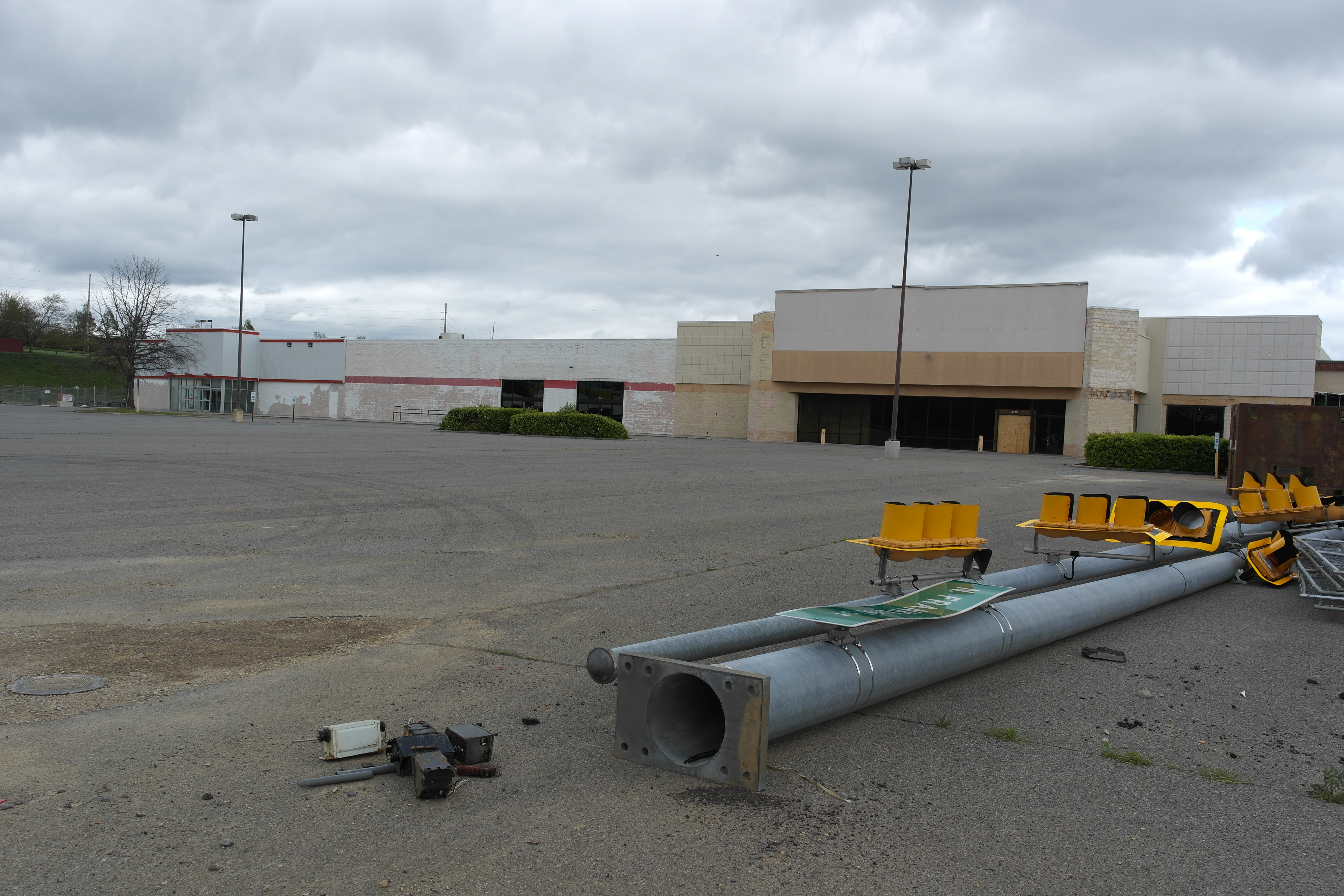
Former Walmart - Christiansburg, VA
Former Walmart - Christiansburg, VA
Former Walmart - Christiansburg, VA

Former Walmart - Christiansburg, VA

Former Walmart - Christiansburg, VA

Former Walmart - Christiansburg, VA
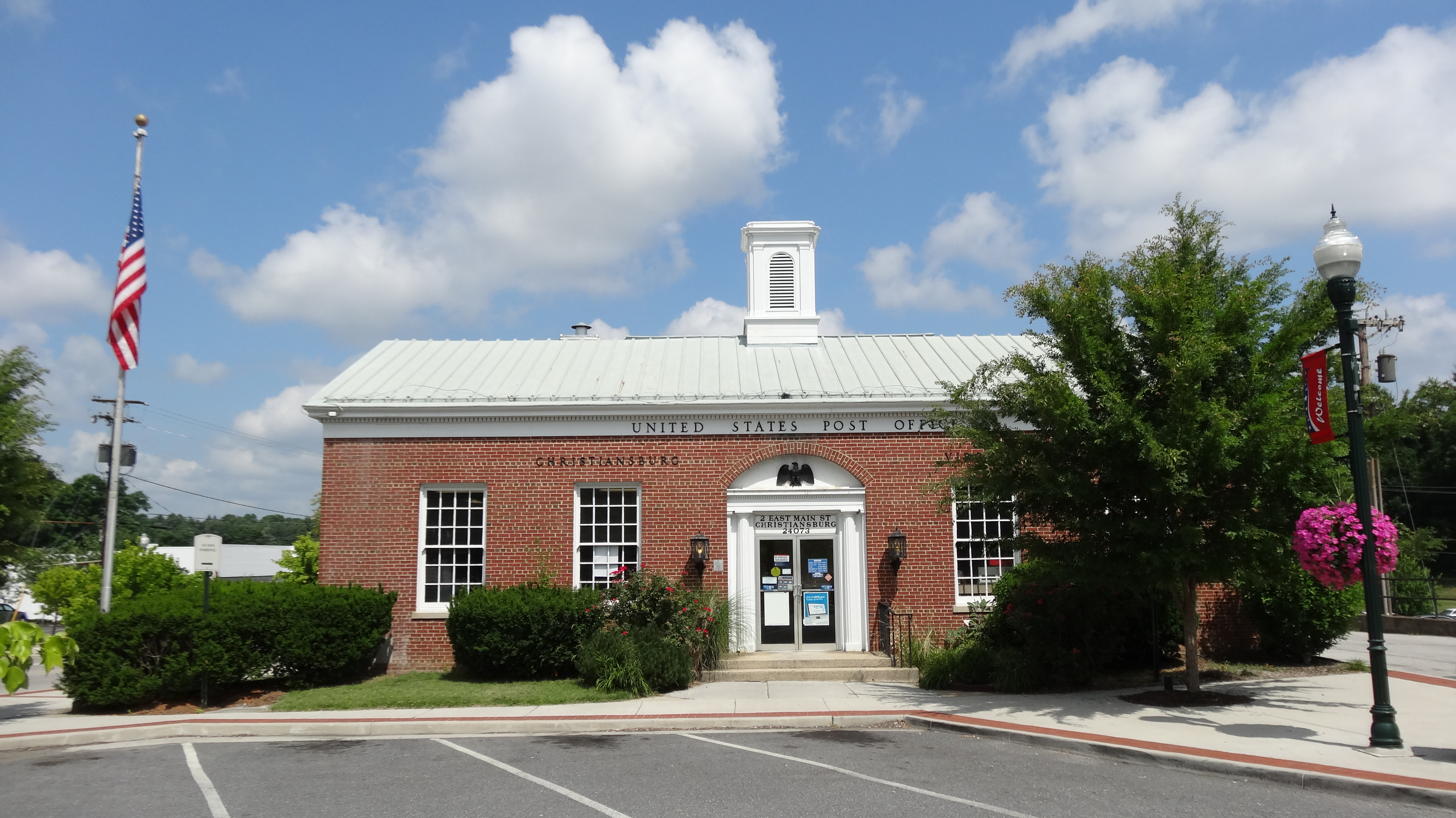
US Post Office, Christiansburg, VA

Former Walmart - Christiansburg, VA

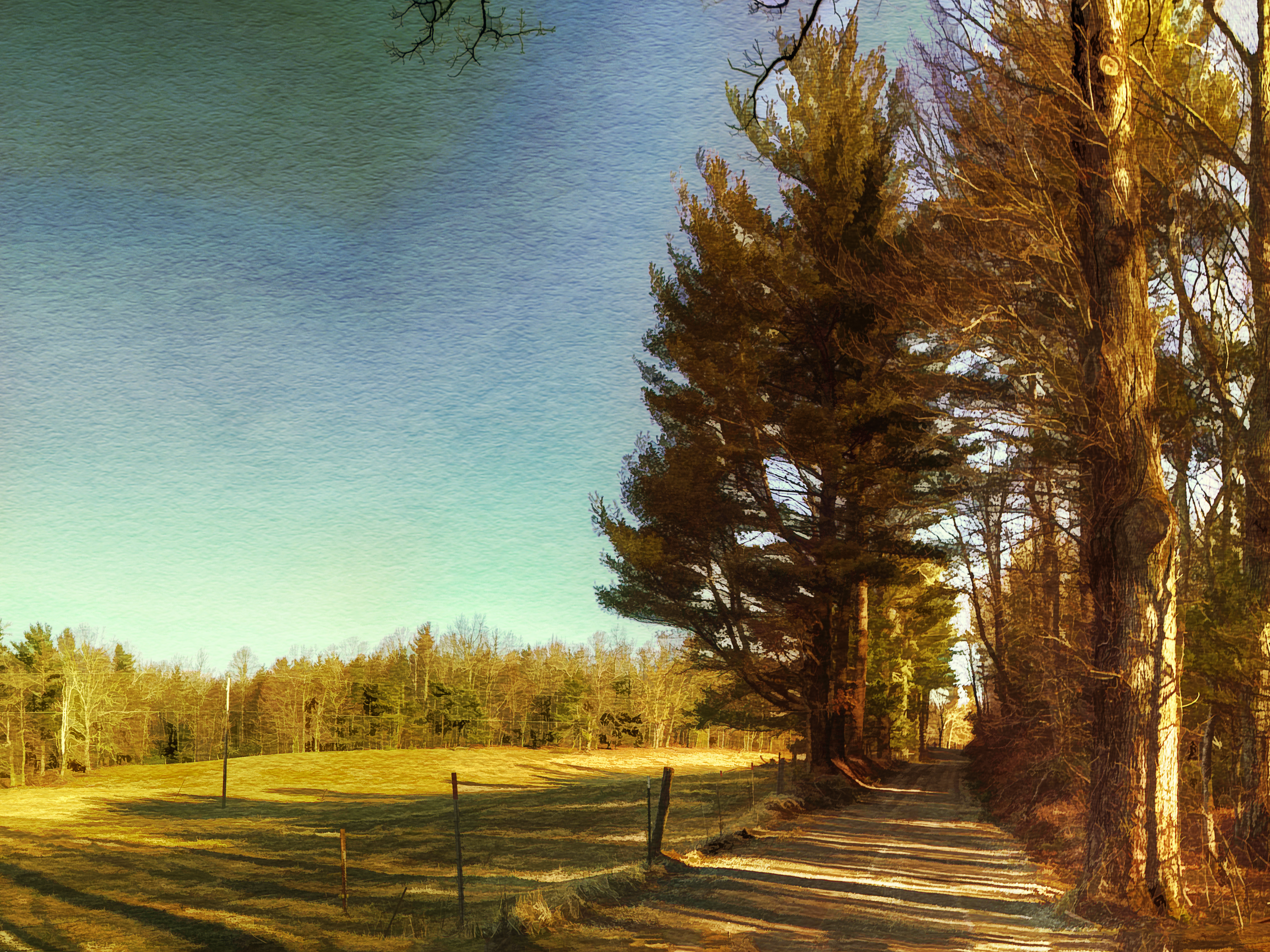
Two Roads Diverged in a Wood

Former Walmart - Christiansburg, VA

WINDOW VIEW

View from back deck

Great Room-1

View from street

The World in my Wheel

201 Main Street

Old Room, New View
Going Home

River's Edge

Winter Road

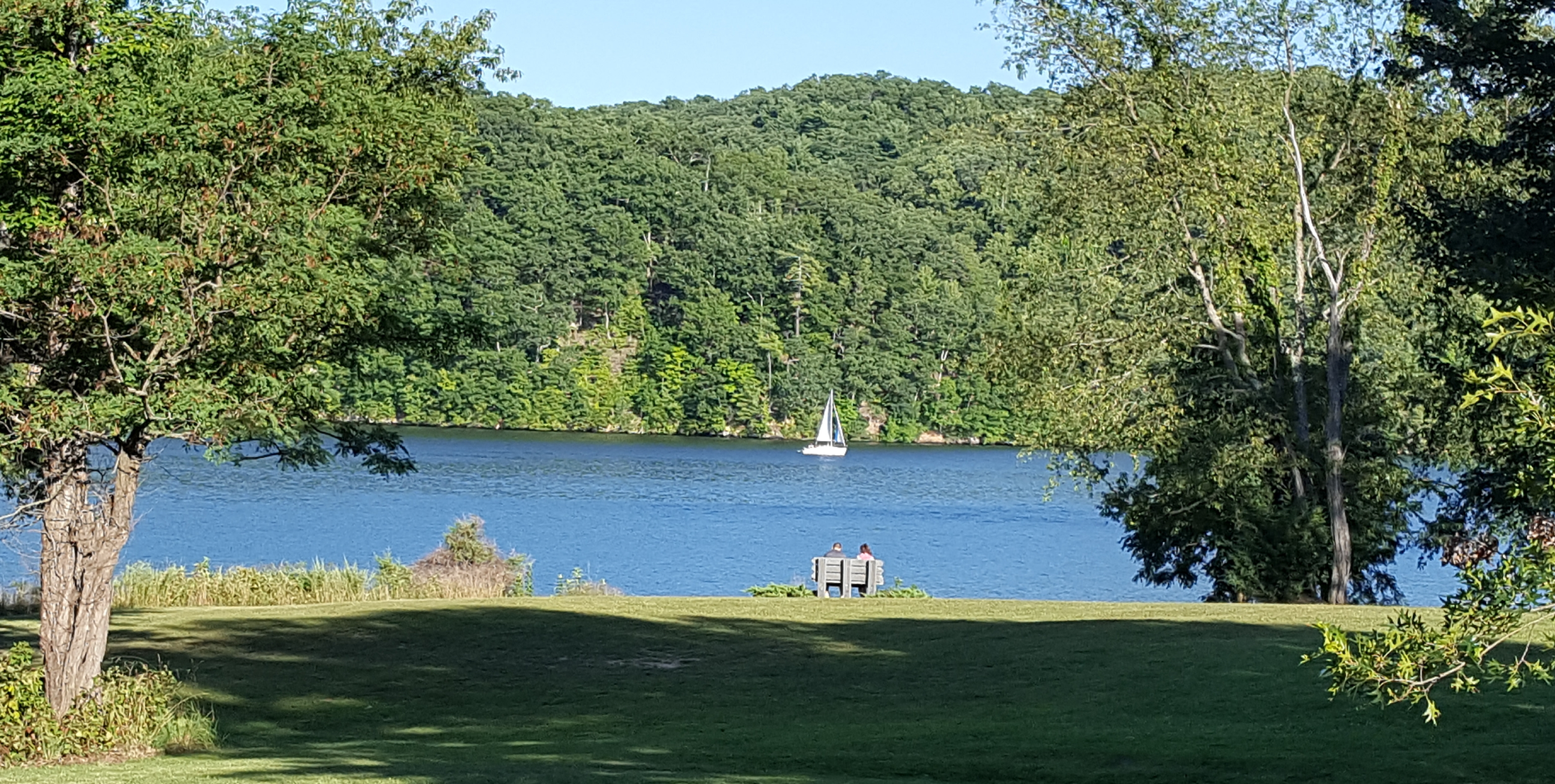
Amazing Views

I-81 crosses the New River near Radford, via DJI Phantom 3 Pro.

foggy morning 2 - Explored

Rustic Ridge

Clubhouse, Pete Dye River Course of Virginia Tech
2017 Think Outside Photo Contest entry

View from the Top
2017 Think Outside Photo Contest entry

THE WAY HOME

The New River from 395'

N&W Coal Tower Vicker Virginia July 2003

River Road

N. Franklin Street

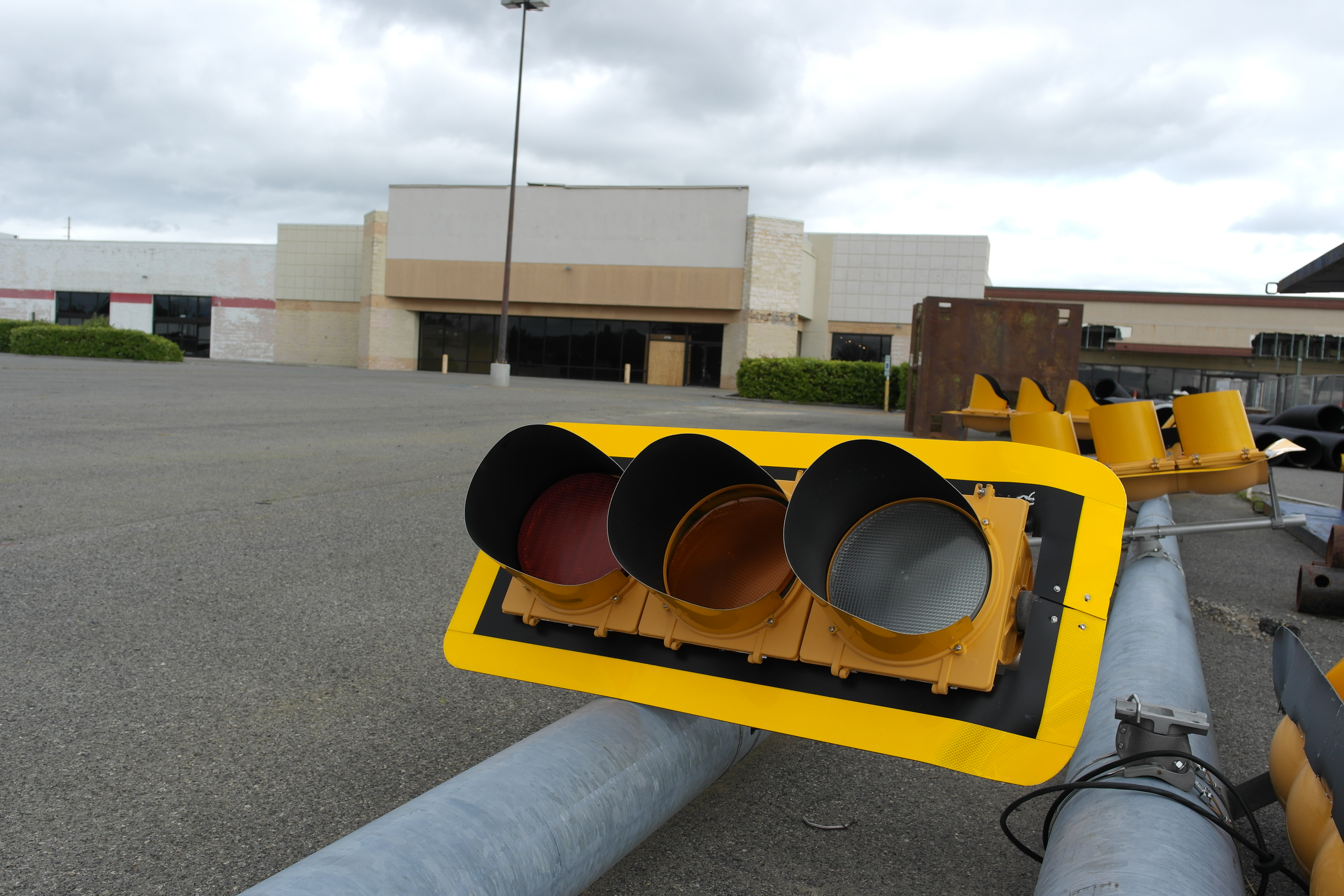
Red Light
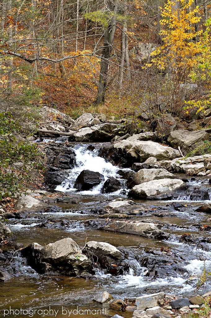
BIG INDIAN CREEK
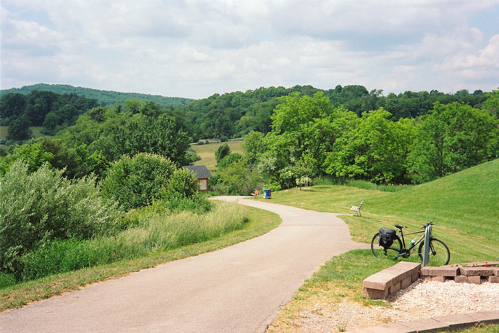
Huckleberry Trail

HAY FIELD

Winter Landscape in Check, Virginia

Above Stiles Falls

late fall sunset

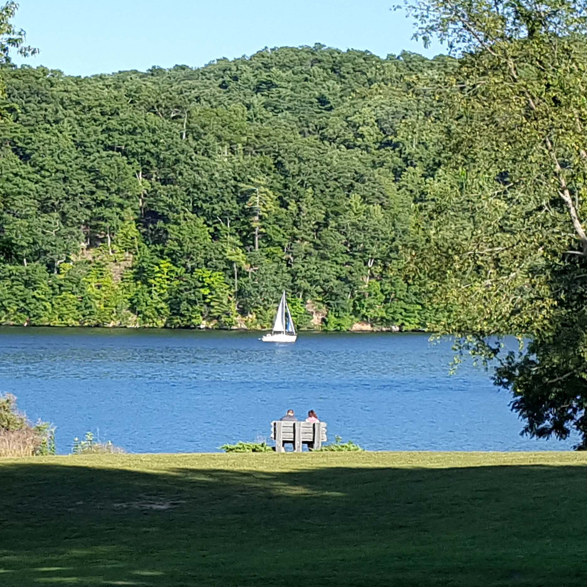
On the water at Claytor Lake, VA

Norma Graham's Fifth Grade Class, 1977
Topographic Map of Riner Rd, Riner, VA, USA
Find elevation by address:

Places near Riner Rd, Riner, VA, USA:
5281 Riner Rd
5375 Harvest Rd
D-01
4071 Correll Rd
132 High Hopes Ln Nw
Riner
545 Mt Elbert Rd Nw
3712 5 Points Rd
3638 5 Points Rd
4990 Sidney Church Rd
1686 Turnberry Ln
Riner, VA, USA
5820 Chestnut Ridge Rd
Fairview Church Road
Fairview Church Road
5900 Chestnut Ridge Rd
3384 Fairview Church Rd
300 Union Valley Rd
5390 Piney Woods Rd
1022 Dusty Rock Rd Nw
Recent Searches:
- Elevation of Corso Fratelli Cairoli, 35, Macerata MC, Italy
- Elevation of Tallevast Rd, Sarasota, FL, USA
- Elevation of 4th St E, Sonoma, CA, USA
- Elevation of Black Hollow Rd, Pennsdale, PA, USA
- Elevation of Oakland Ave, Williamsport, PA, USA
- Elevation of Pedrógão Grande, Portugal
- Elevation of Klee Dr, Martinsburg, WV, USA
- Elevation of Via Roma, Pieranica CR, Italy
- Elevation of Tavkvetili Mountain, Georgia
- Elevation of Hartfords Bluff Cir, Mt Pleasant, SC, USA