Elevation of D-01, VA, USA
Location: United States > Virginia > Montgomery County >
Longitude: -80.432652
Latitude: 37.0601164
Elevation: 633m / 2077feet
Barometric Pressure: 94KPa
Elevation Map:
Satellite Map:
Related Photos:
201 Main Street

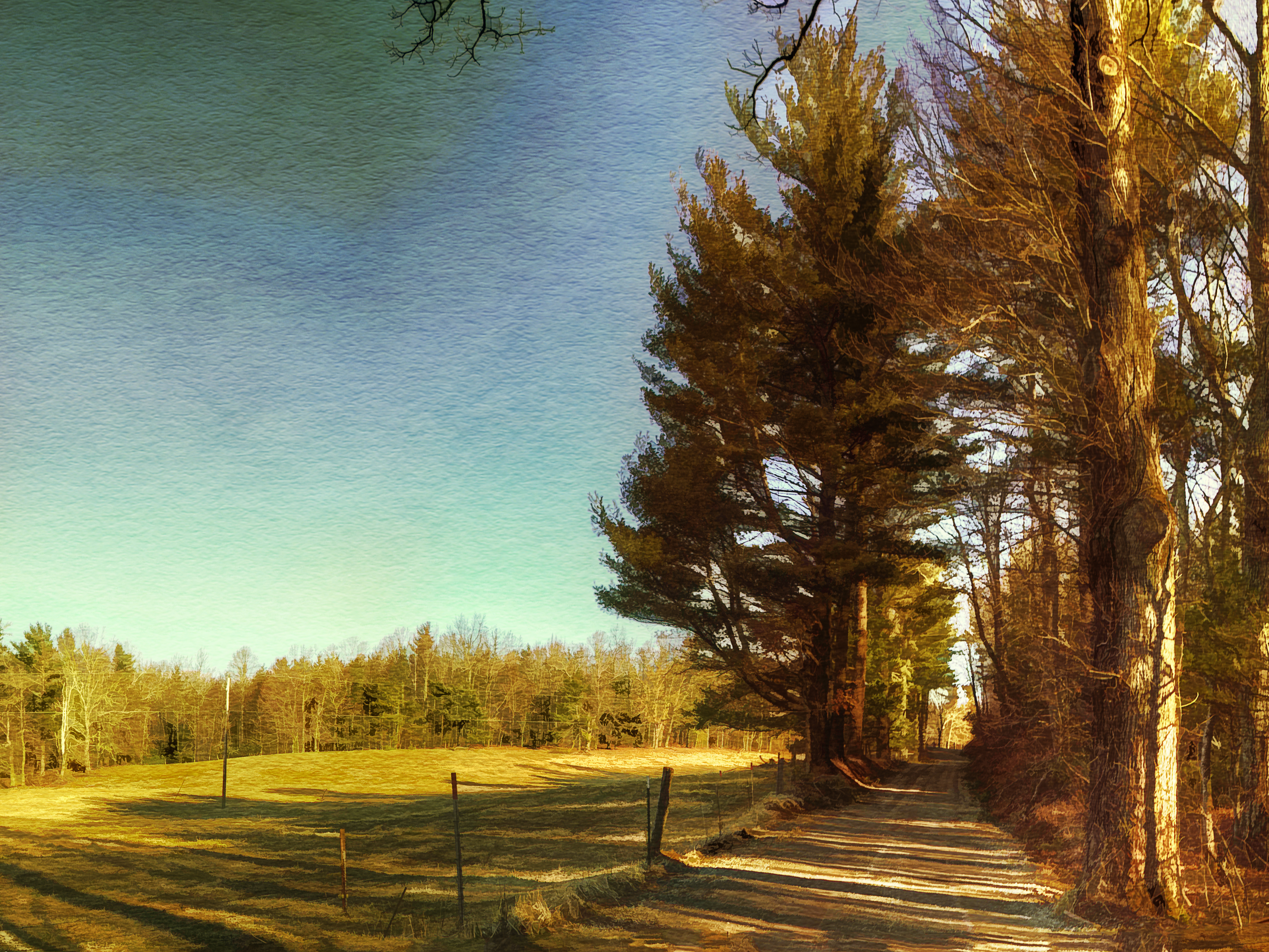
Two Roads Diverged in a Wood
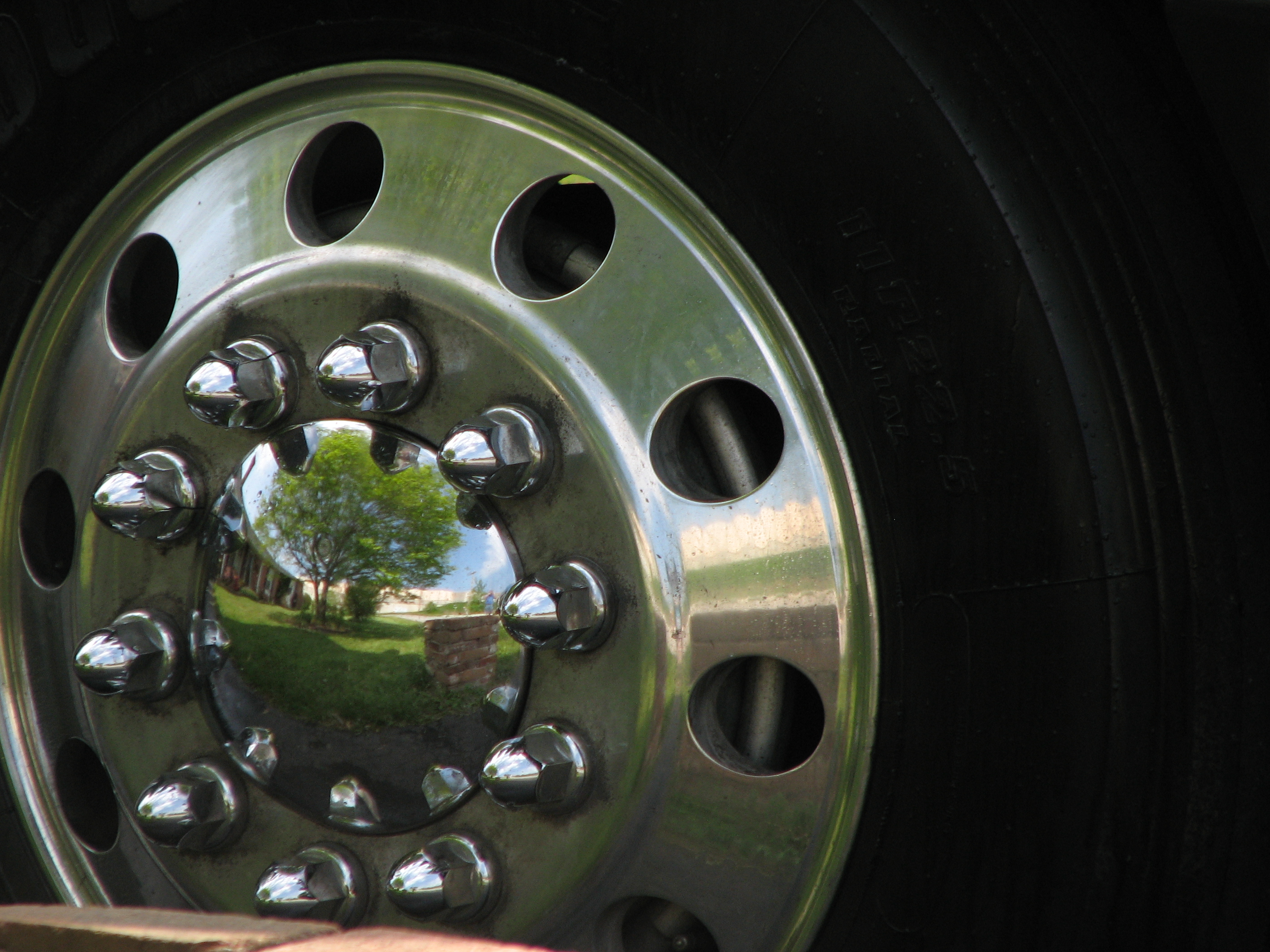
The World in my Wheel

River's Edge
Watersports IV
Going Home
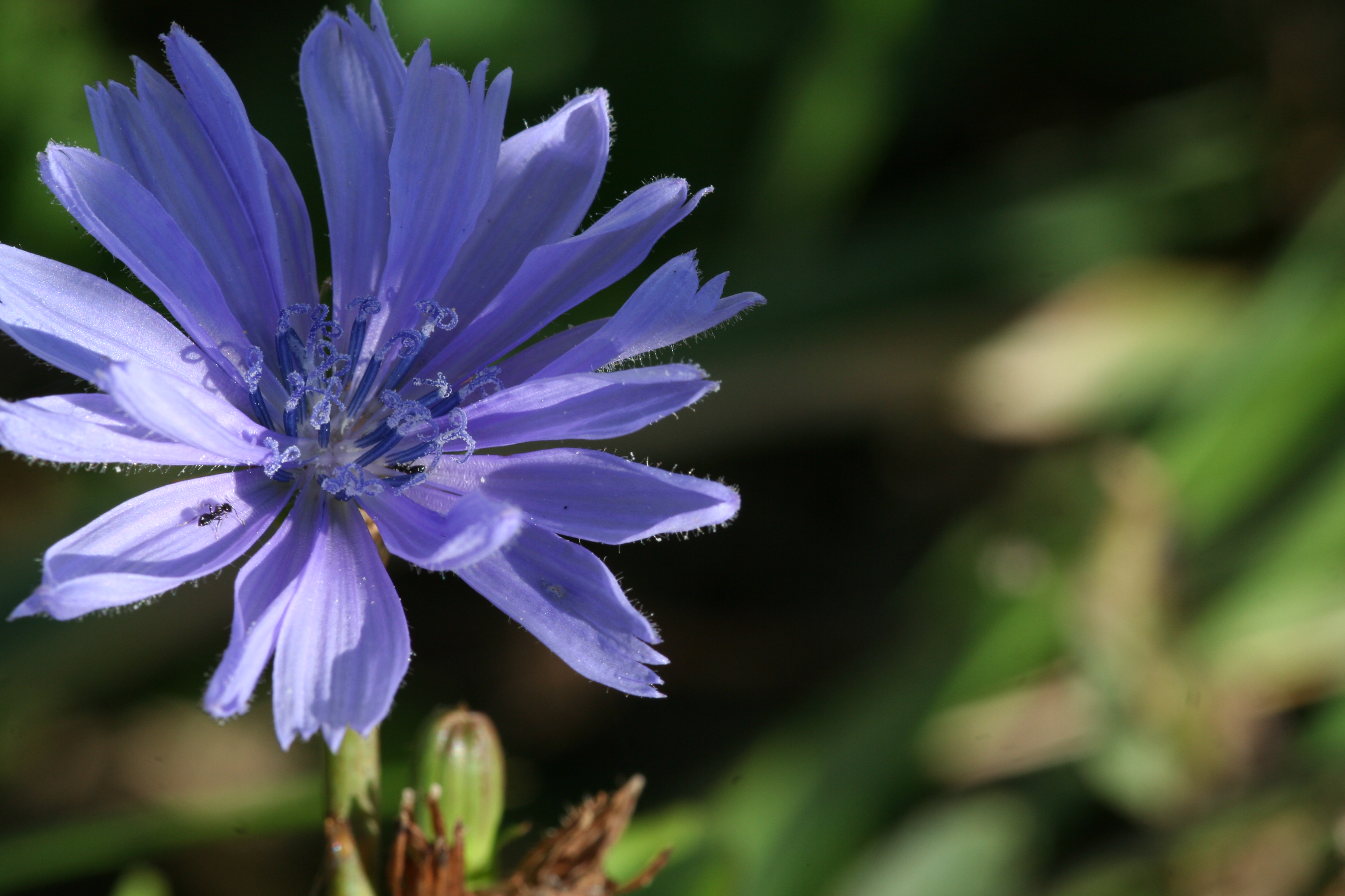
Ants on Chickory (view full-sized)
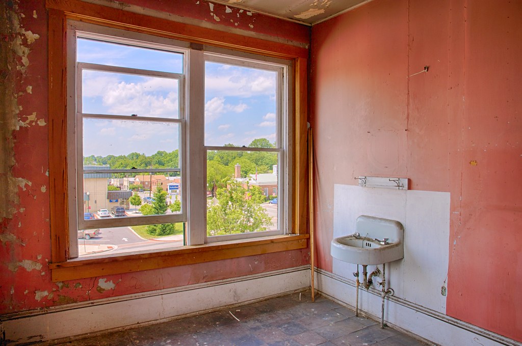
Old Room, New View
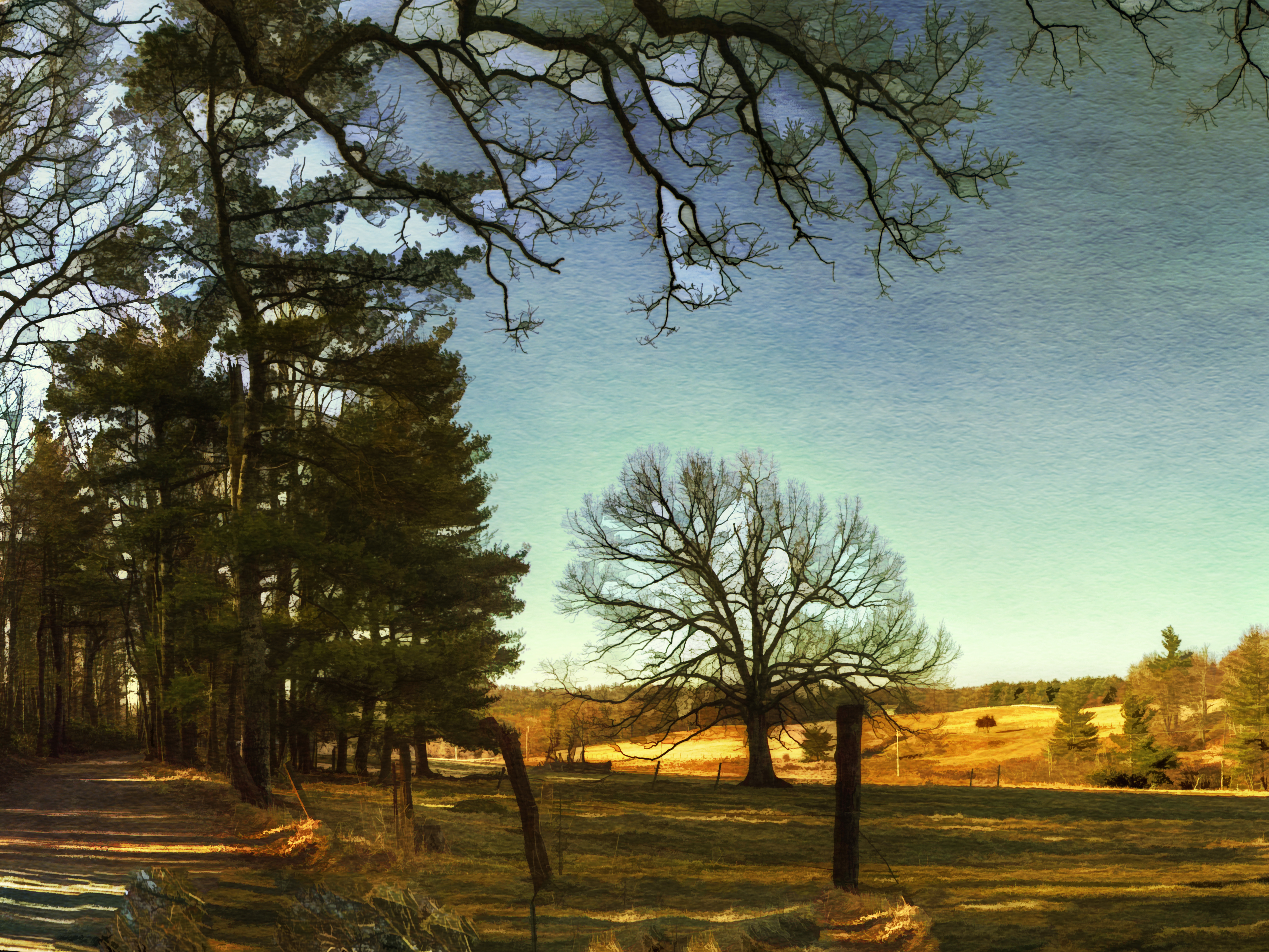
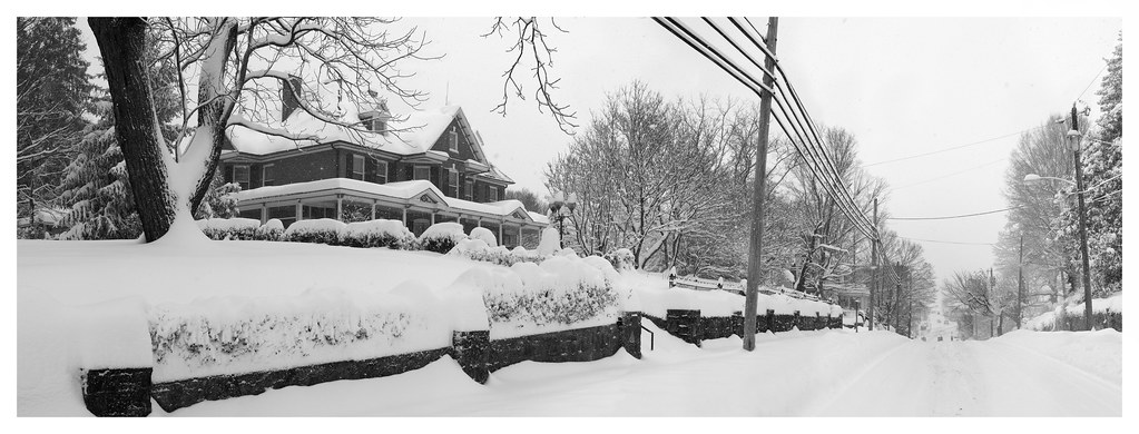
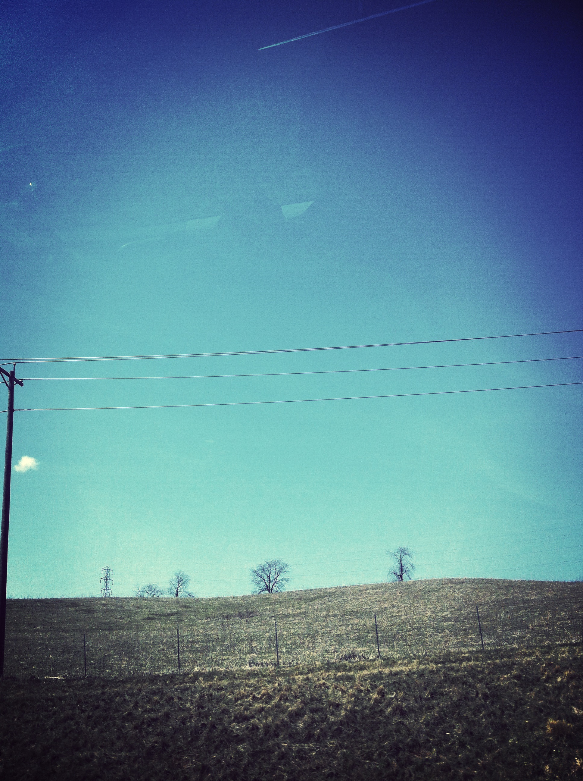
Winter Road
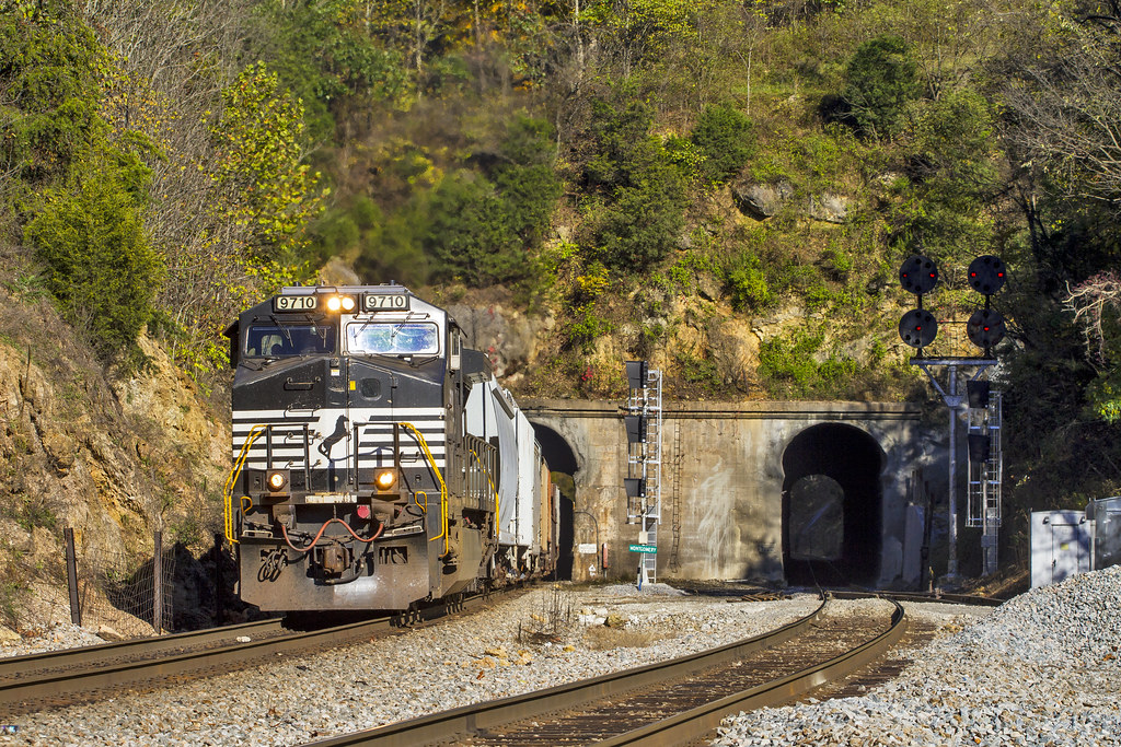
Montgomery Tunnel
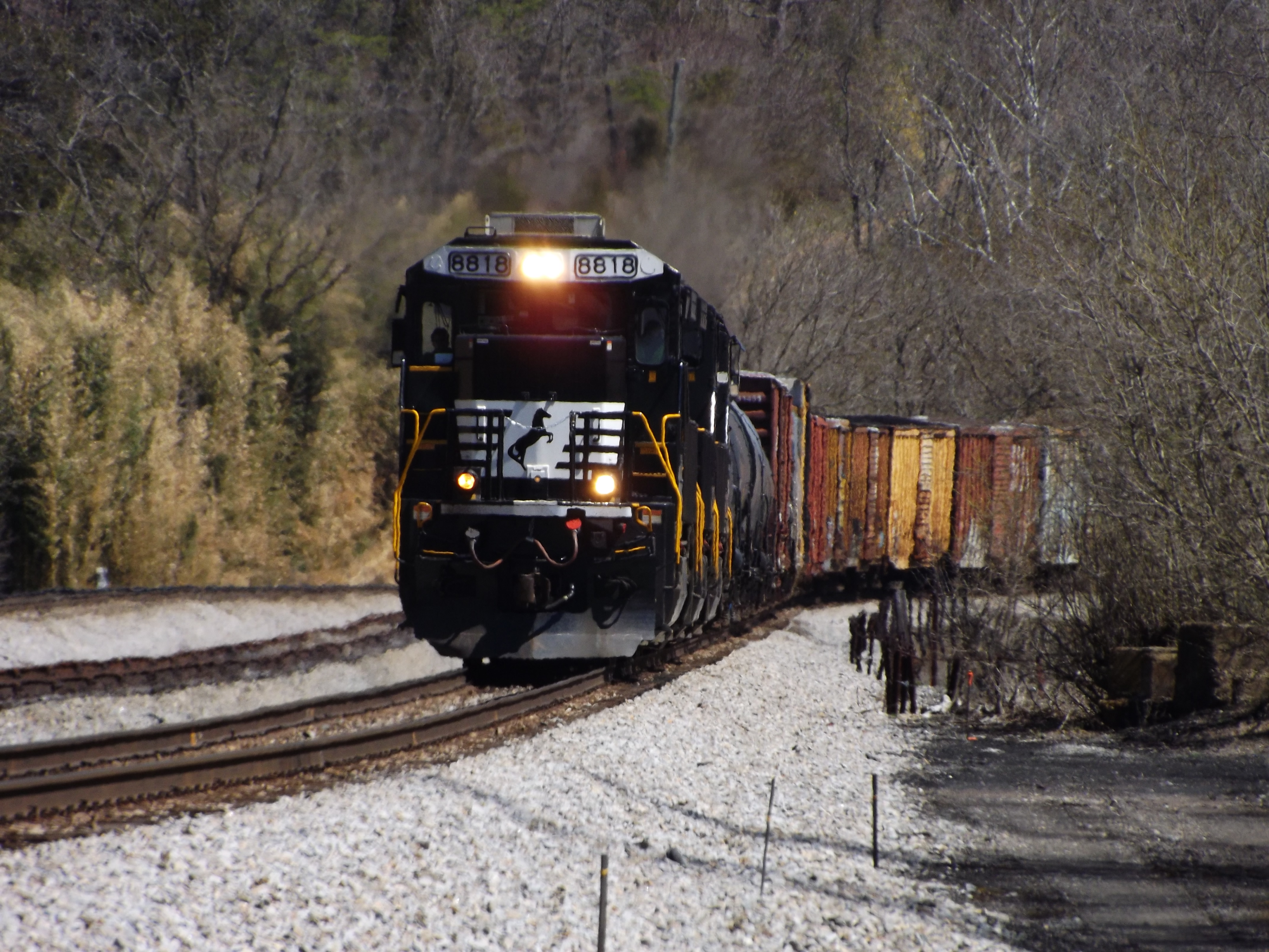
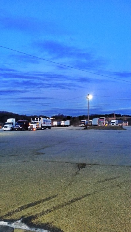
Diesel interruption

Rear View
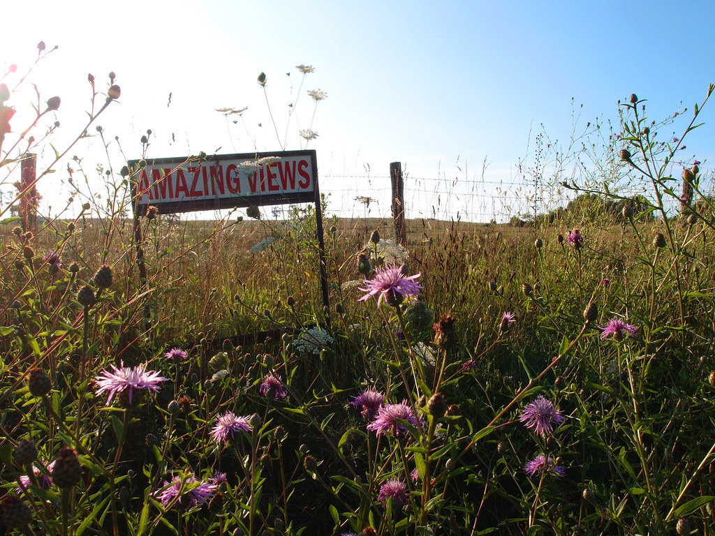
Amazing Views
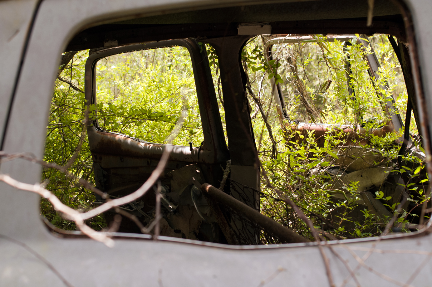
Window view
Side view of pod
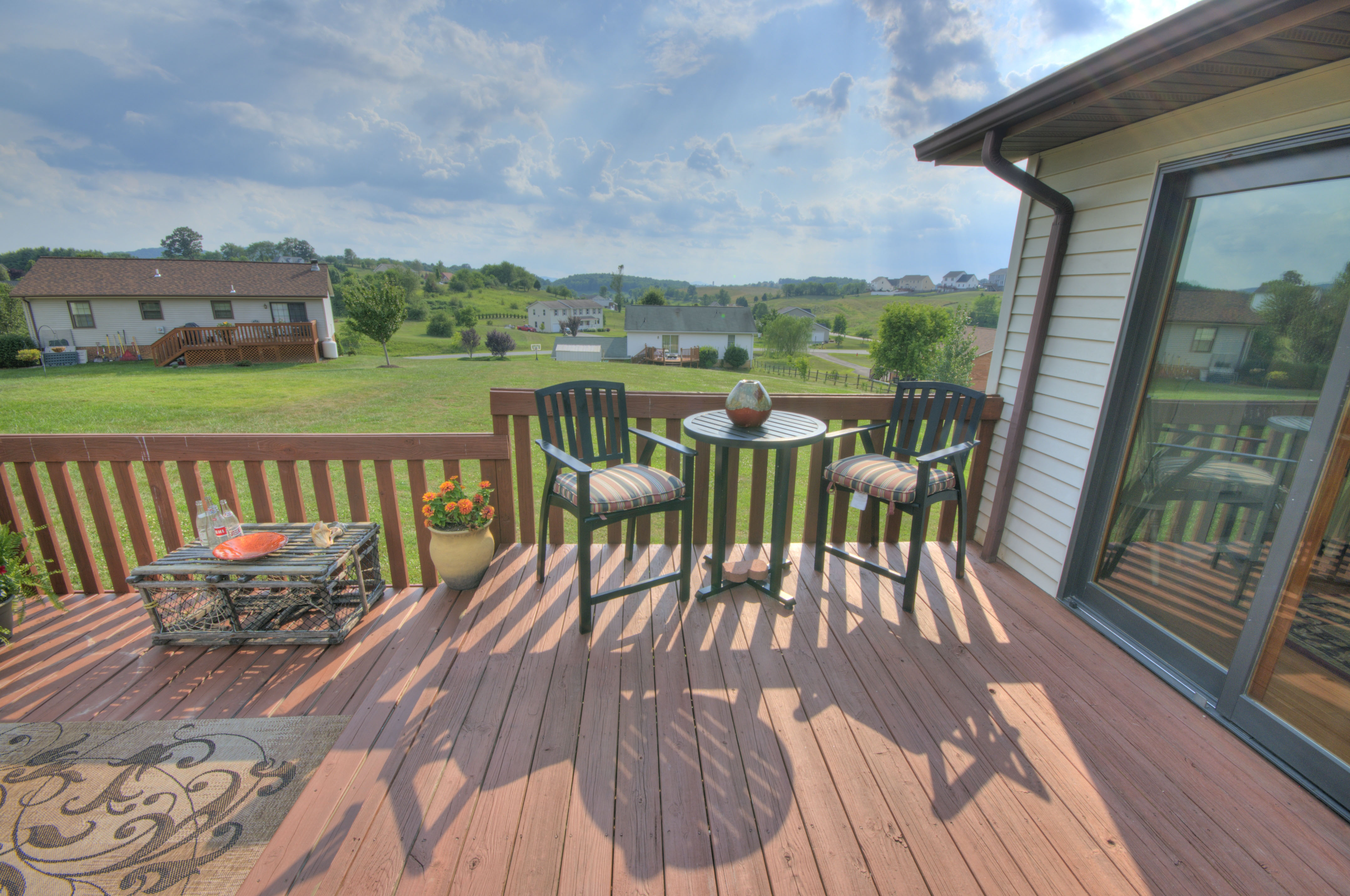
Deck with Views
Front View
070/366

View from the Top
View from the street
View From Street
THE WAY HOME

Heron Hunting
River Road

Clubhouse, Pete Dye River Course of Virginia Tech

foggy morning 2 - Explored
Rustic Ridge
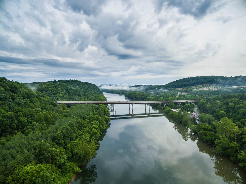
I-81 crosses the New River near Radford, via DJI Phantom 3 Pro.

Fishing the New River
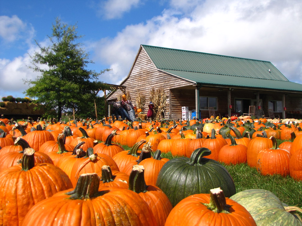
Pumpkin Pie

Red Light
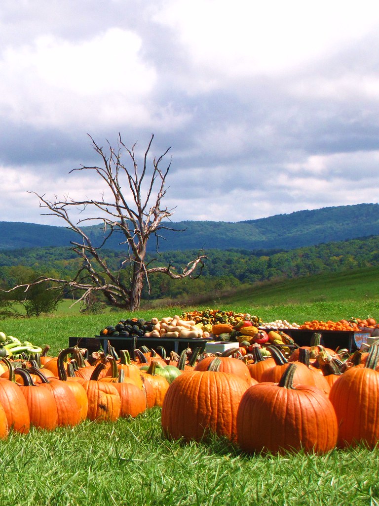
Fall at Sinkland
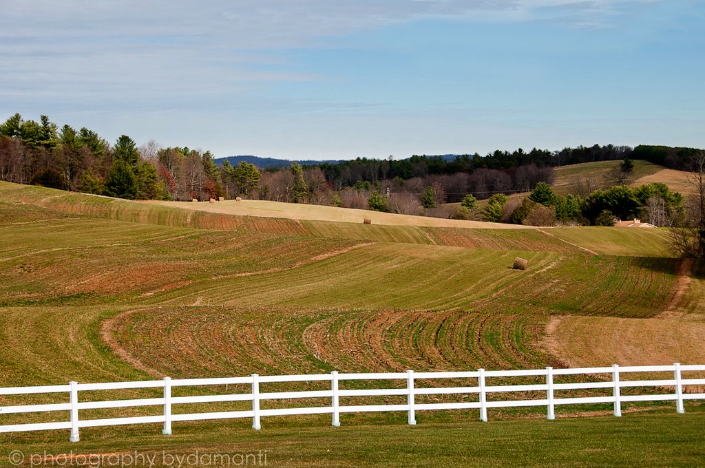
HAY FIELD
Road trip

BIG INDIAN CREEK

Dark woods

Sunset Equinox
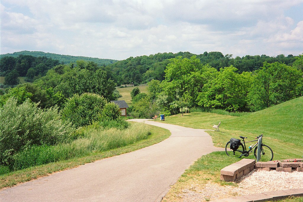
Huckleberry Trail
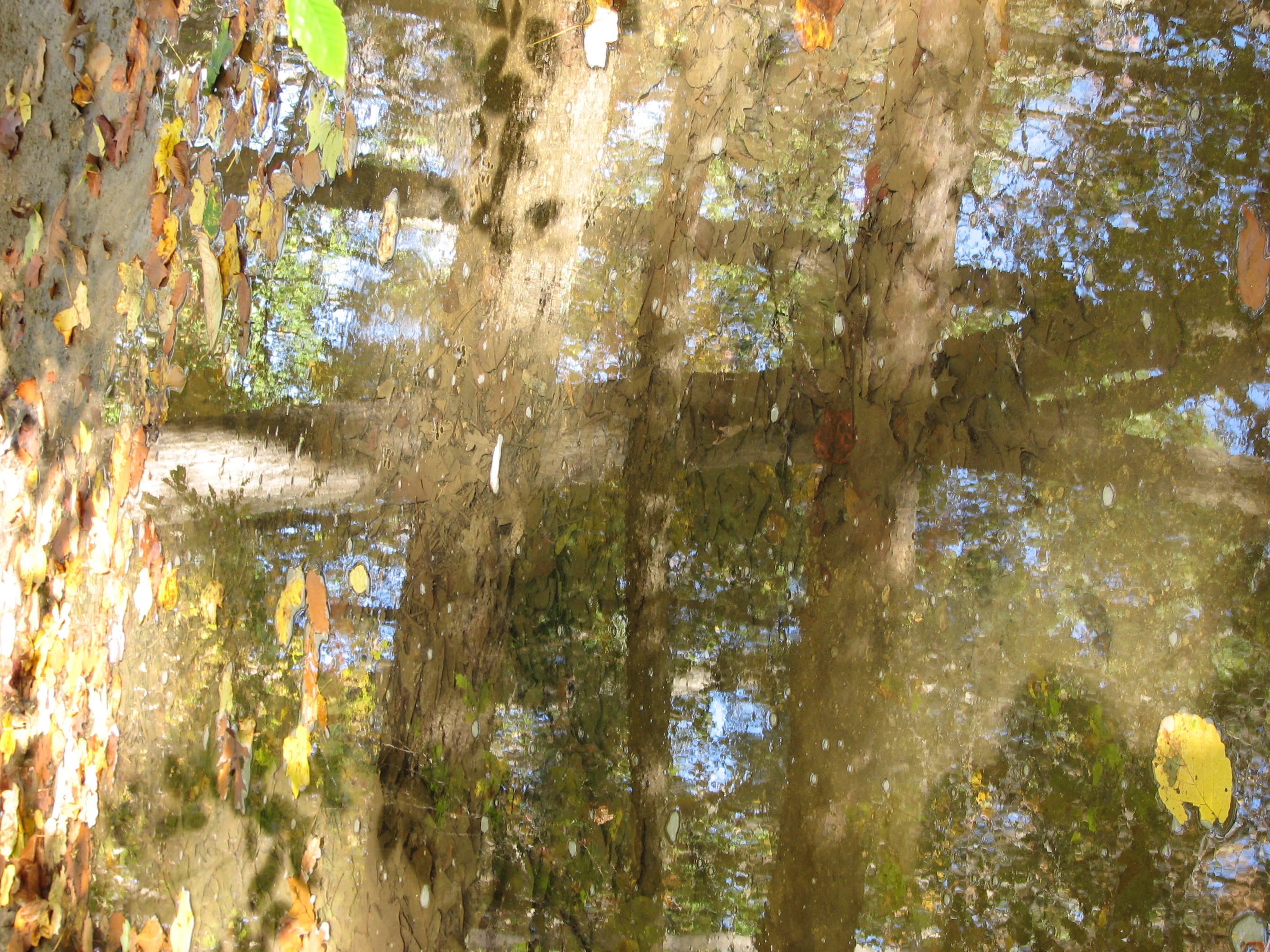
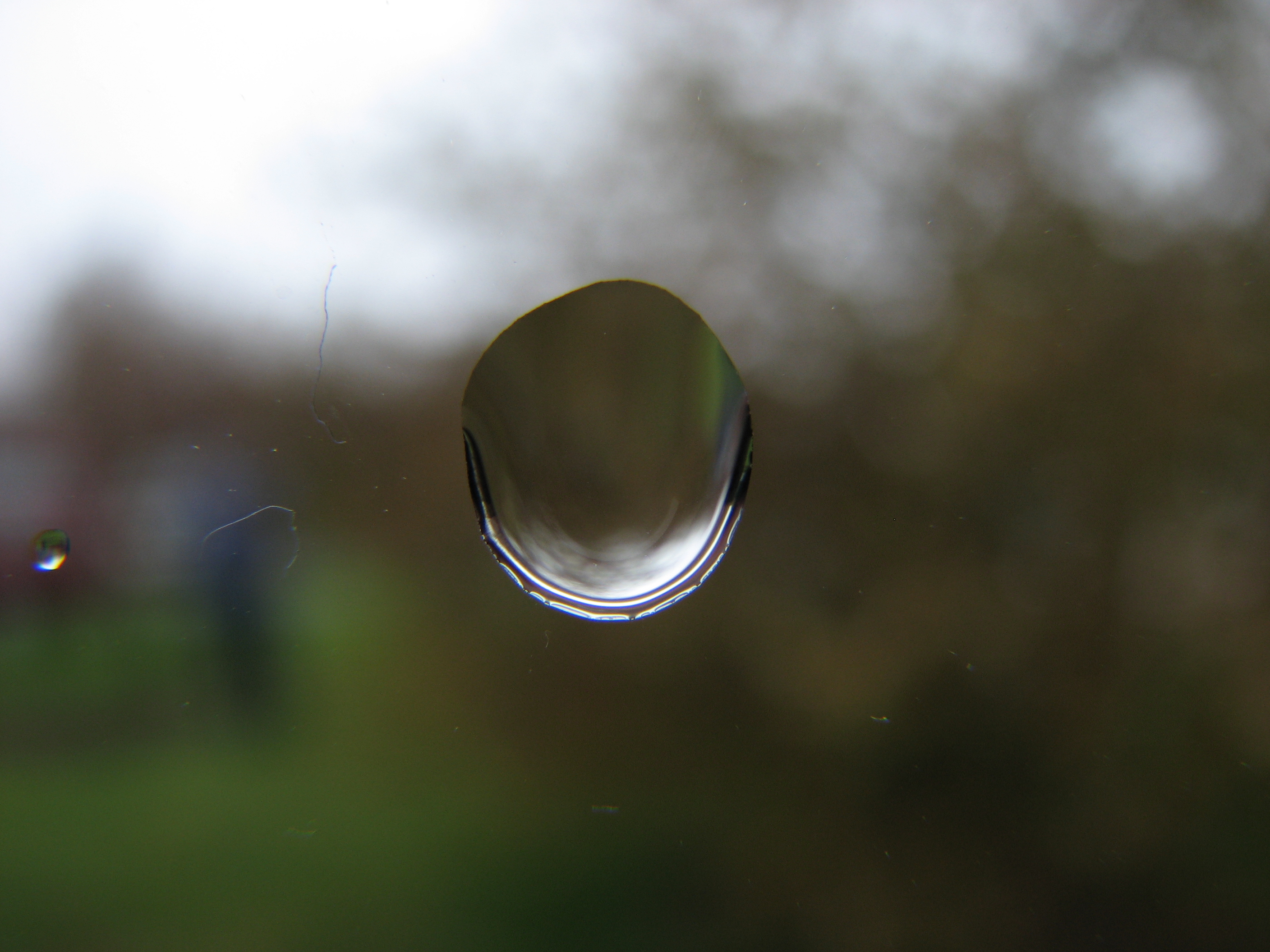
Crossed Reflections

The River Course
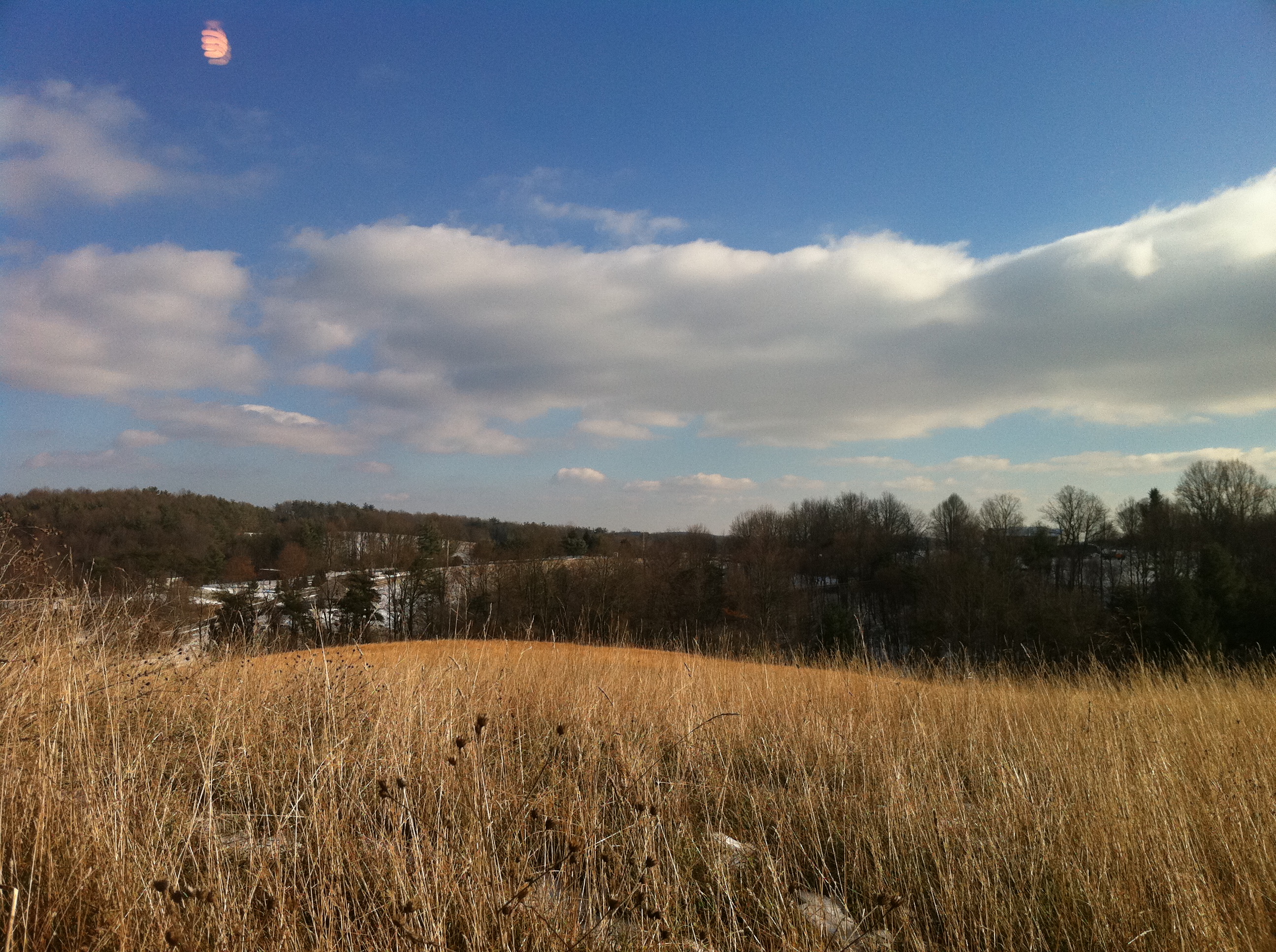
Winter Landscape in Check, Virginia
Sunrise...
Topographic Map of D-01, VA, USA
Find elevation by address:

Places in D-01, VA, USA:
Places near D-01, VA, USA:
4071 Correll Rd
Riner
3712 5 Points Rd
3638 5 Points Rd
1686 Turnberry Ln
5214 Riner Rd
5281 Riner Rd
5375 Harvest Rd
Fairview Church Road
Fairview Church Road
4990 Sidney Church Rd
300 Union Valley Rd
132 High Hopes Ln Nw
545 Mt Elbert Rd Nw
Riner, VA, USA
3263 Country Meadow Dr
3384 Fairview Church Rd
5820 Chestnut Ridge Rd
Pilot
5900 Chestnut Ridge Rd
Recent Searches:
- Elevation of Corso Fratelli Cairoli, 35, Macerata MC, Italy
- Elevation of Tallevast Rd, Sarasota, FL, USA
- Elevation of 4th St E, Sonoma, CA, USA
- Elevation of Black Hollow Rd, Pennsdale, PA, USA
- Elevation of Oakland Ave, Williamsport, PA, USA
- Elevation of Pedrógão Grande, Portugal
- Elevation of Klee Dr, Martinsburg, WV, USA
- Elevation of Via Roma, Pieranica CR, Italy
- Elevation of Tavkvetili Mountain, Georgia
- Elevation of Hartfords Bluff Cir, Mt Pleasant, SC, USA