Elevation of Riley Mountain, Colorado, USA
Location: United States > Colorado > Pitkin County > Meredith >
Longitude: -106.69420
Latitude: 39.3308194
Elevation: 3137m / 10292feet
Barometric Pressure: 69KPa
Elevation Map:
Satellite Map:
Related Photos:
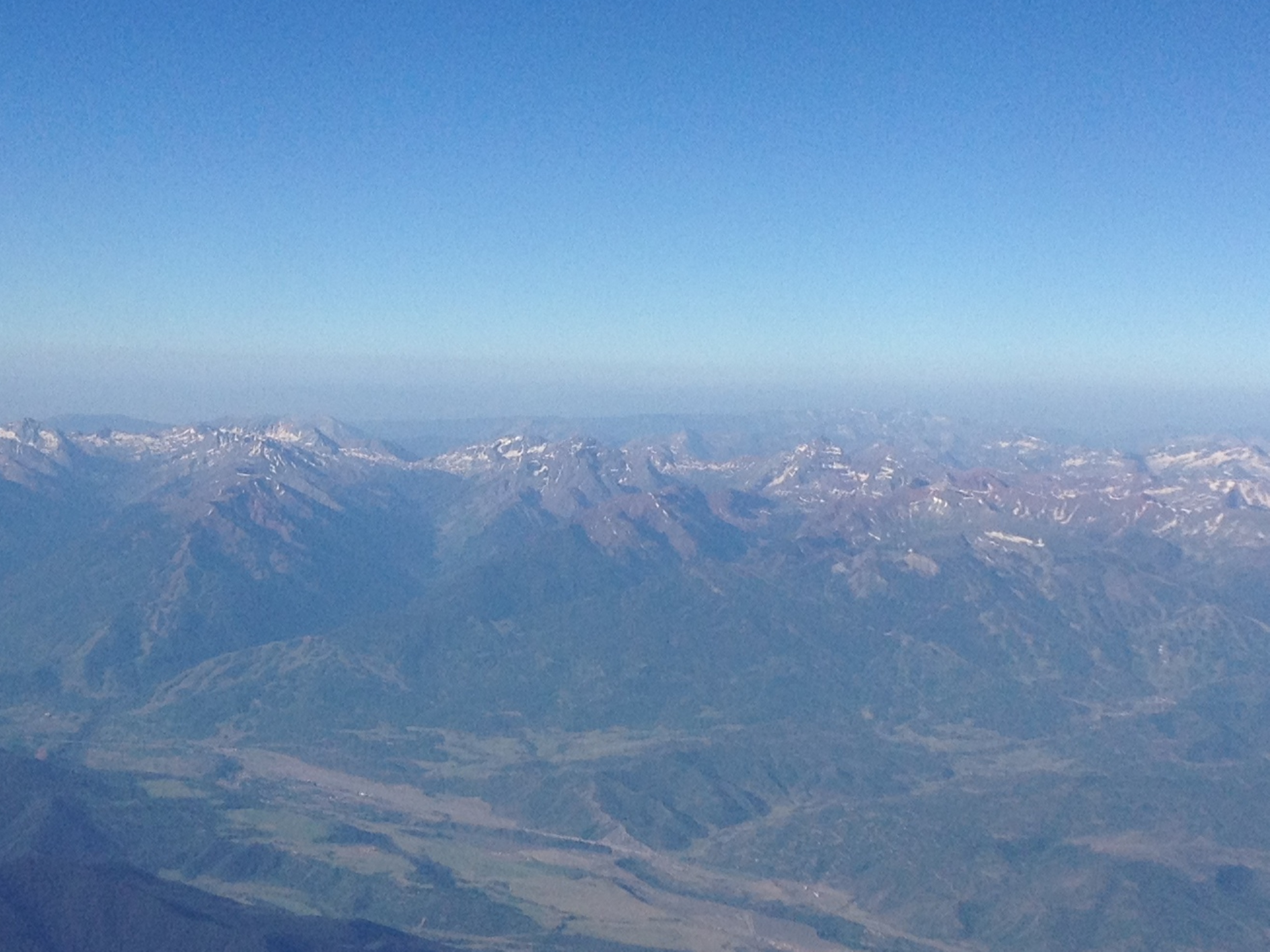
Aerial view of Aspen and Maroon Bells
Topographic Map of Riley Mountain, Colorado, USA
Find elevation by address:

Places near Riley Mountain, Colorado, USA:
Diamond J Ranch
Frying Pan Rd, Meredith, CO, USA
Norrie
Mount Yeckel
Meredith
Chapman Campground
Larkspur Mountain
Larkspur Mountain Road
Ruedi Reservoir
Ford Peak
Mt Nast Colony Rd, Meredith, CO, USA
Lenado
Wildcat Mountain
962 Co Rd 20
54 Co Rd 41
43251 Co-82
Aspen
East Main Street
Hotel Jerome, Auberge Resorts Collection
845 Meadows Rd
Recent Searches:
- Elevation of Corso Fratelli Cairoli, 35, Macerata MC, Italy
- Elevation of Tallevast Rd, Sarasota, FL, USA
- Elevation of 4th St E, Sonoma, CA, USA
- Elevation of Black Hollow Rd, Pennsdale, PA, USA
- Elevation of Oakland Ave, Williamsport, PA, USA
- Elevation of Pedrógão Grande, Portugal
- Elevation of Klee Dr, Martinsburg, WV, USA
- Elevation of Via Roma, Pieranica CR, Italy
- Elevation of Tavkvetili Mountain, Georgia
- Elevation of Hartfords Bluff Cir, Mt Pleasant, SC, USA