Elevation of Ridgeland Ct, Punta Gorda, FL, USA
Location: United States > Florida > Charlotte County > Punta Gorda >

Longitude: -81.872782

Latitude: 26.981367

Elevation: 7m / 23feet

Barometric Pressure: 101KPa

Elevation Map:

elevation map of Ridgeland Ct, Punta Gorda, FL, USA

Satellite Map:

Satellite map of Ridgeland Ct, Punta Gorda, FL, USA
Related Photos:

sunrises professionalphotographer floridaimages photoworkshops phototours wildlifemanagementareas phototourguide jmwnaturesimagescom audiovisualphotopresentations
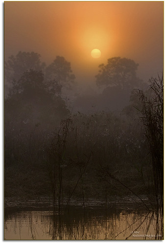
Webb-Babcock WMA Sunrise
birds sunsets 2470mm floridaimages riverrookeries
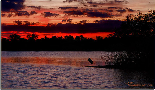
Hunter Creek Rookery Sunset 2
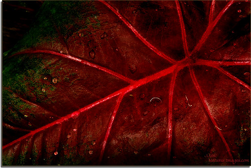
Caladium Leaf 2
Christmas Card 2010
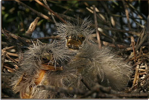
birds 100400mm yellowcrownnightheron 2470mm closeupmacro floridaimages immaturechicks riverrookeries nestingchicks
Baby-Yellow Crown Night Herons 5
fire daily 365 firefighter paramedic 2010 iphone 365cameraphone
Post workout. 7/22/2010
golfcourse disgust day62 abandond 2009challenge
2009 Challenge Day 62 Emotion: Disgust
trees water geotagged florida parks rivers beaches peaceriver harbourheights
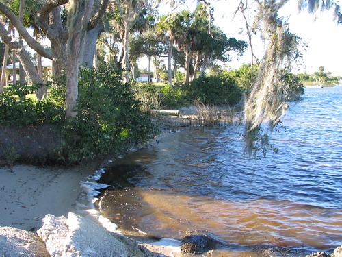
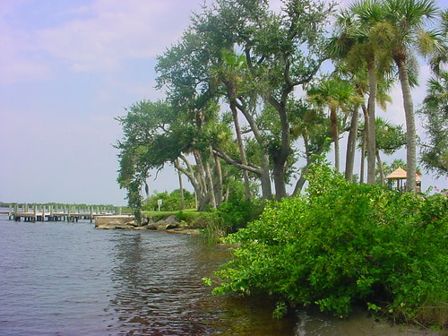
Harbor Heights Park - Shore alternate view
trees water geotagged florida parks rivers beaches peaceriver harbourheights
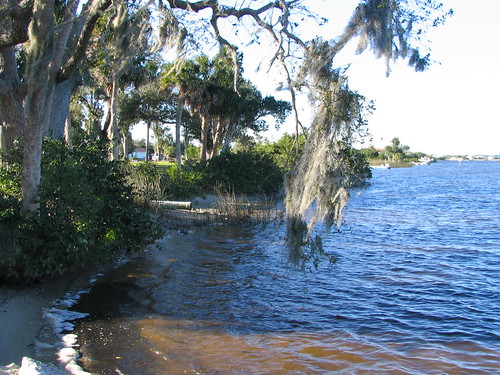
Harbor Heights Park - Shore alternate view
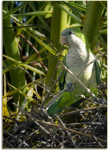
birds closeup wildlife 100400mm professionalphotographer orton monkparakeet floridaimages photoworkshops phototours phototourguide jmwnaturesimagescom
Monk Parakeet 2
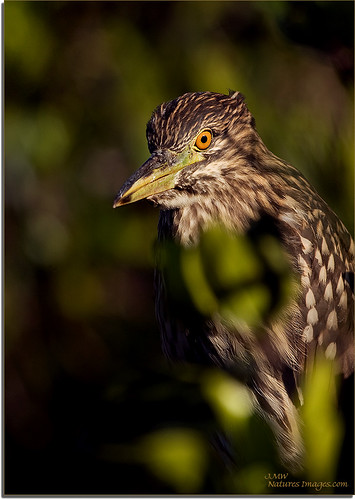
birds closeup wildlife 100400mm rookeries blackcrownnightheron juveniles floridaimages riverrookeries
Immature-Black-Crown-Night
Home Sweet Home 2
Home Sweet Home
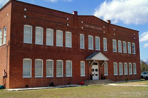
old school history abandoned home canon photography photo nikon fuji florida picture photograph ghosttown historical fl renovated fortogden mikewoodfin
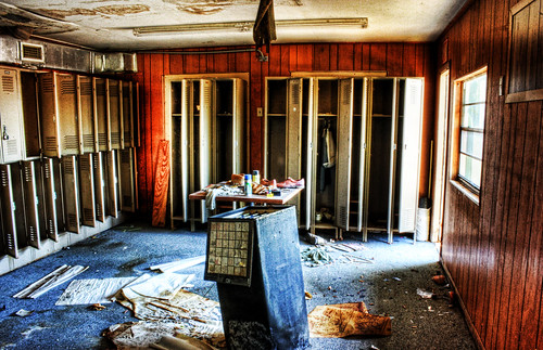
Fort Ogden School in the Ghost Town of Fort Ogden
fire daily 365 firefighter paramedic 2010 iphone 365cameraphone
Room with a view. 6/18/2010
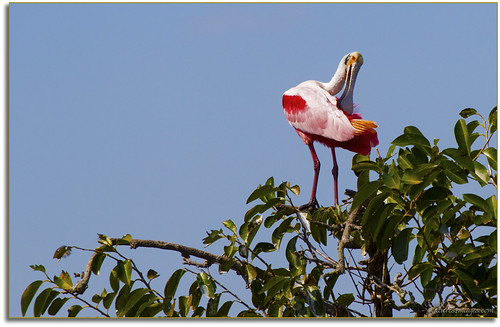
birds closeup wildlife 100400mm professionalphotographer rookery spoonbills roseatespoonbill floridaimages photoworkshops phototours riverrookeries phototourguide jmwnaturesimagescom
Spoonbill 4, River Rookeries
birds closeup 100400mm webbwma floridaimages palmwarblers
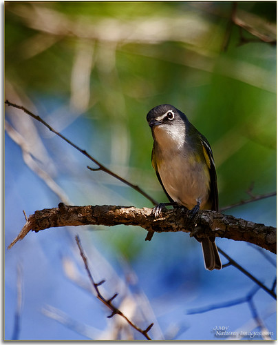
Blue Headed Viro, Webb WMA
birds closeup 100400mm floridaimages palmwarblers
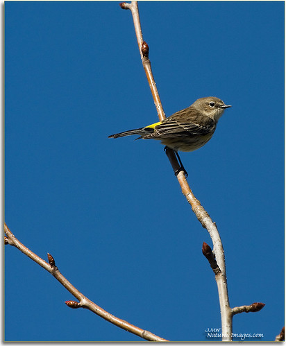
Yellowrump Warbler
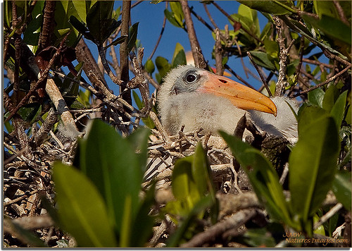
Baby-Wood-Stork-3
geotagged florida cleveland firefighting firestations waymarking
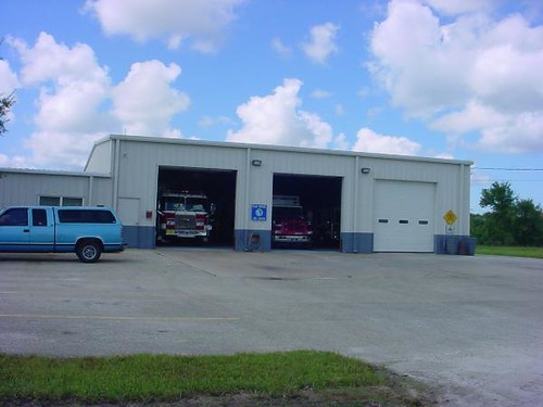
Charlotte County Fire & EMS Station 6 - front view
trees water geotagged florida parks rivers peaceriver harbourheights
Harbor Heights Park - Shoreline
longexposure trees silhouette night canon landscape wideangle galaxy astrophotography nightsky milkyway rokinon rokinon14mm28 canon7dmarkii
Milky Way in a pine flatwoods ecosystem
Coral Sand Dunes State Park, Kanab UT
landscapes sunrises hdr professionalphotographer wma oldflorida floridaimages photoworkshops phototours wildlifemanagementareas phototourguide jmwnaturesimagescom dynamichdr5 audiovisualphotopresentations
Webb-Babcock WMA Sunrise
daily 365 2010 iphone 365cameraphone
Wish you were here. 7/27/2010
canon canon7dmarkii pink sunset wideangle landscape water reflection clouds cloudporn
Train Trestle Sunset
Painted October 2013
Peace River
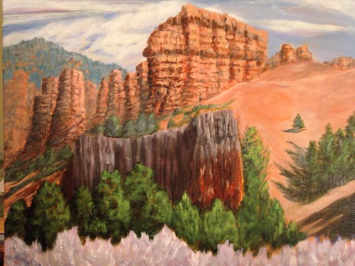
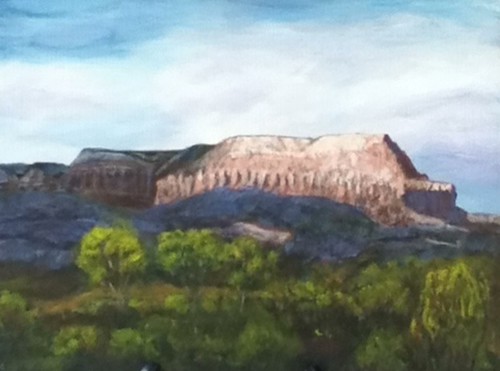
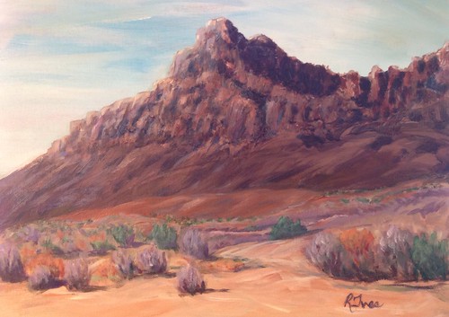
Utah Mountains - Acrylic 11X14"
native monocots cyperaceae fuirenabreviseta shortbristledumbrellasedge
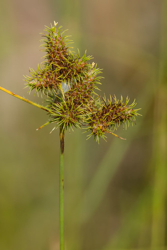
Fuirena breviseta (Short-bristled Umbrella-sedge)
Punta Gorda
Lake Powell, Acrylic - 1-2014 6X12"
hh 118
landscapes hdr professionalphotographer wma floridaimages photoworkshops phototours wildlifemanagementareas phototourguide jmwnaturesimagescom dynamichdr5 audiovisualphotopresentations
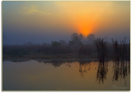
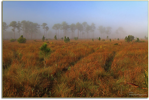
Webb-Babcock WMA Foggy Morning
daily 365 2010 iphone 365cameraphone
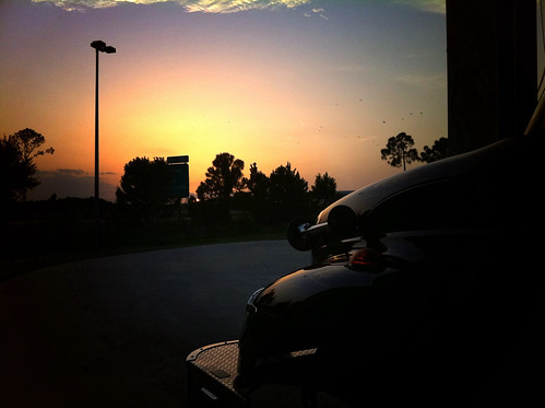
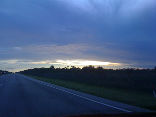
Drive & sunset. 6/19/2010
Trying to Hide
Elks 2-15-2013 Looking west back toward Charlotte Harbor
square squareformat iphoneography instagramapp uploaded:by=instagram
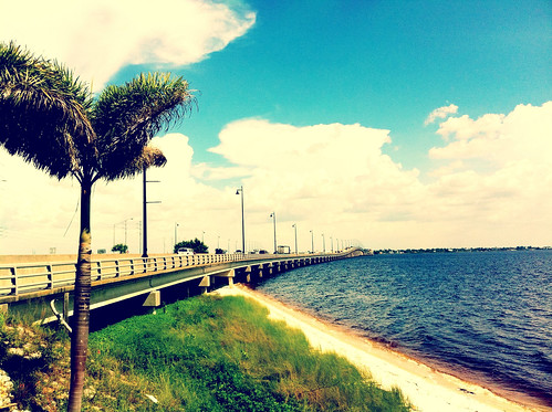
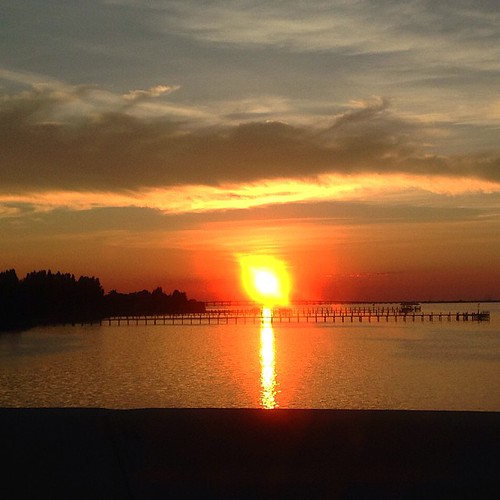
Sunset. Florida.
native var texensis monocots cyperaceae cyperuspolystachyos pycreus coastflatsedge
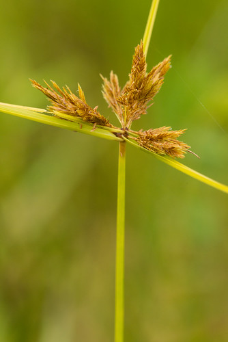
Cyperus polystachyos (Coast Flatsedge)
usa america north northamerica fl
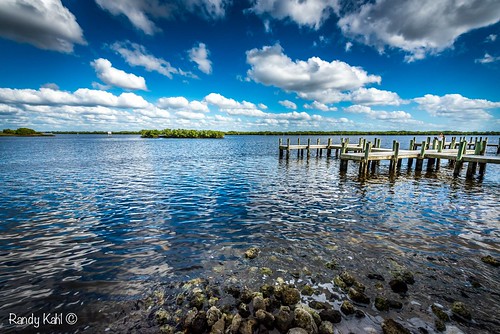
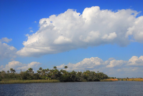
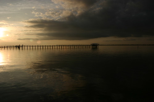
Peace River landscape with clouds, Peace River, Florida