Elevation of Prairie Creek Blvd, Punta Gorda, FL, USA
Location: United States > Florida > Charlotte County > Punta Gorda >
Longitude: -81.886090
Latitude: 26.987507
Elevation: 5m / 16feet
Barometric Pressure: 101KPa
Elevation Map:
Satellite Map:
Related Photos:

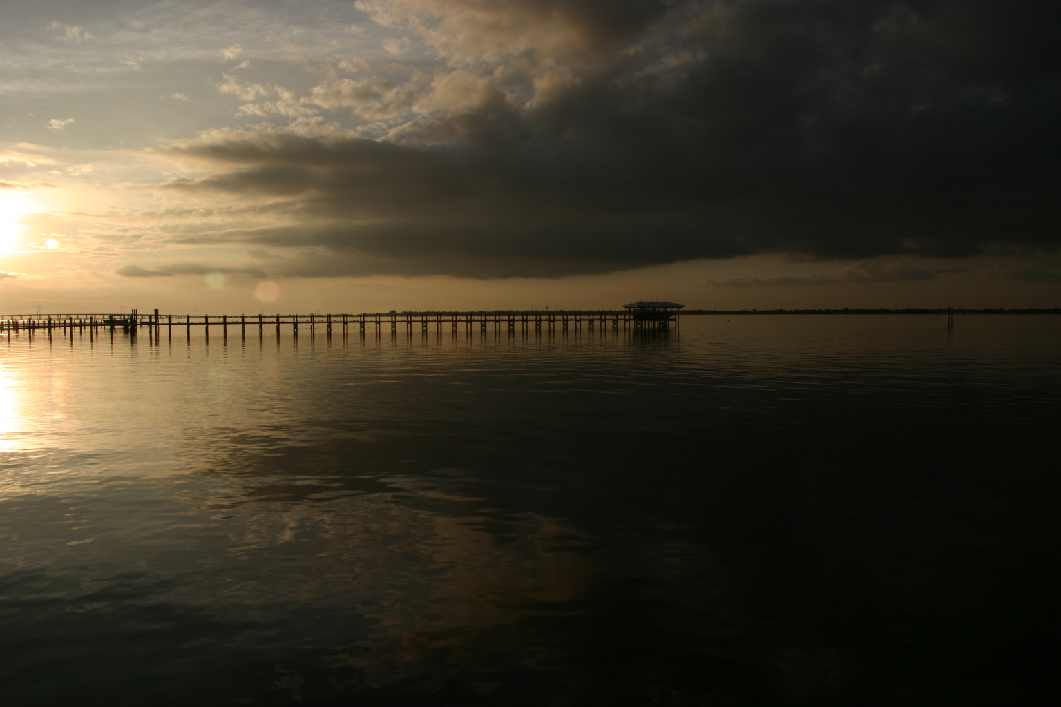
Webb-Babcock WMA Sunrise

Baby-Yellow Crown Night Herons 5

Christmas Card 2010
Post workout. 7/22/2010
2009 Challenge Day 62 Emotion: Disgust
Harbor Heights Park - Shore alternate view
Harbor Heights Park - Shore alternate view

Immature-Black-Crown-Night

Home Sweet Home 2

Home Sweet Home
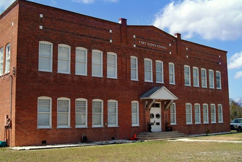
Fort Ogden School in the Ghost Town of Fort Ogden

Room with a view. 6/18/2010
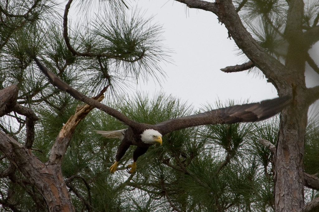
Eagle in flight
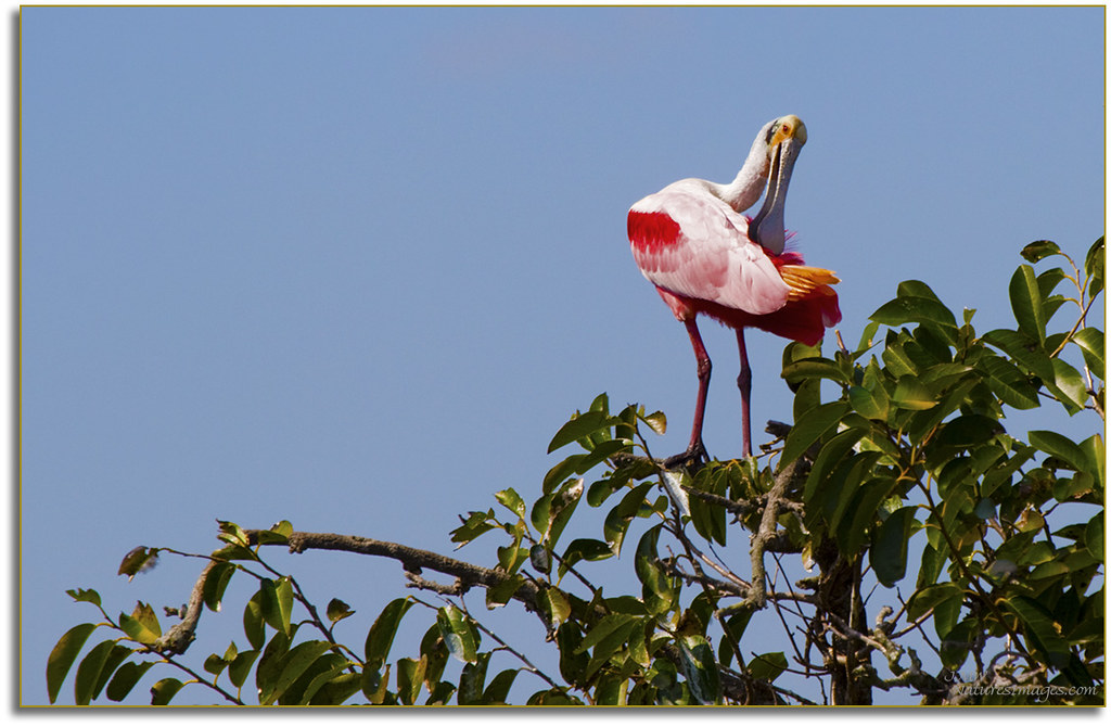
Spoonbill 4, River Rookeries

Baby-Wood-Stork-3
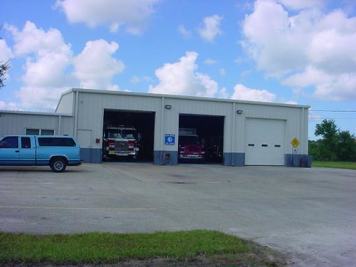
Charlotte County Fire & EMS Station 6 - front view
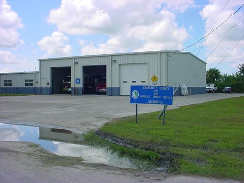
Charlotte County Fire & EMS Station 6 - alternate view
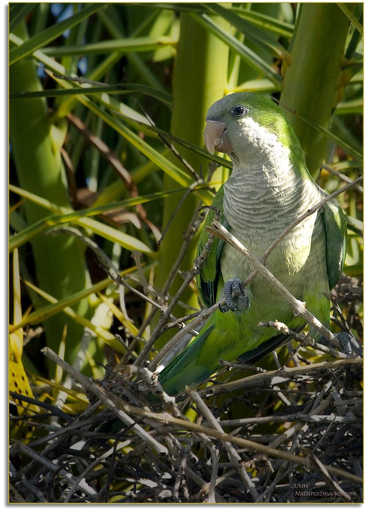
Monk Parakeet 2

Caladium Leaf 2

Hunter Creek Rookery Sunset 2
Harbor Heights Park - Shoreline

Milky Way in a pine flatwoods ecosystem
Wish you were here. 7/27/2010

Train Trestle Sunset

Webb-Babcock WMA Sunrise

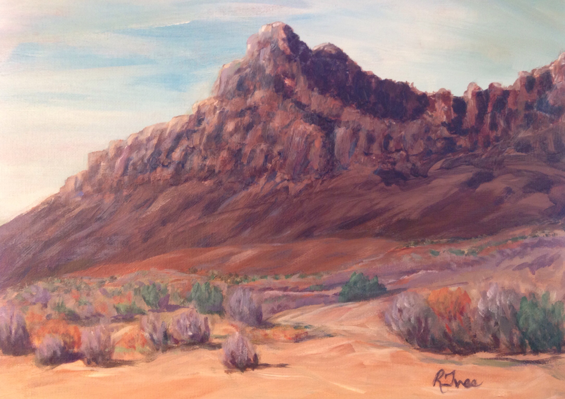
Coral Sand Dunes State Park, Kanab UT
Painted October 2013

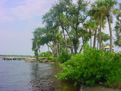
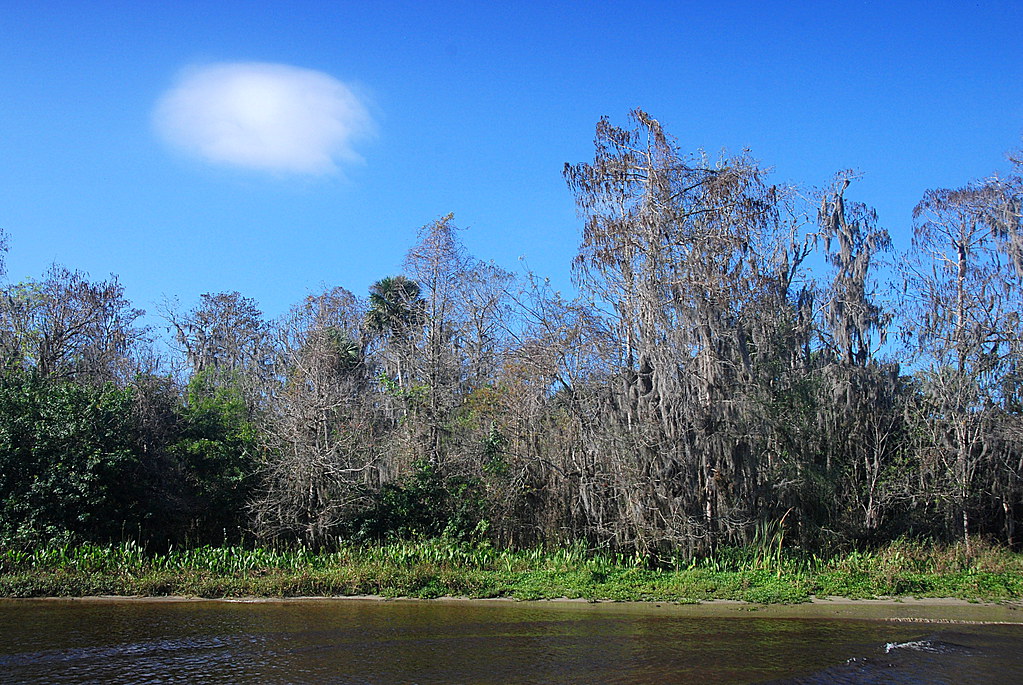
Peace River
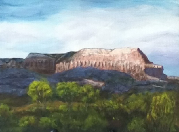
Utah Mountains - Acrylic 11X14"

Punta Gorda
Drive & sunset. 6/19/2010
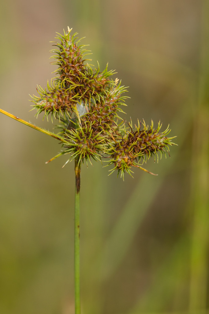
Fuirena breviseta (Short-bristled Umbrella-sedge)

hh 118
Elks 2-15-2013 Looking west back toward Charlotte Harbor
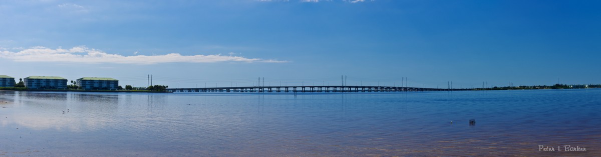
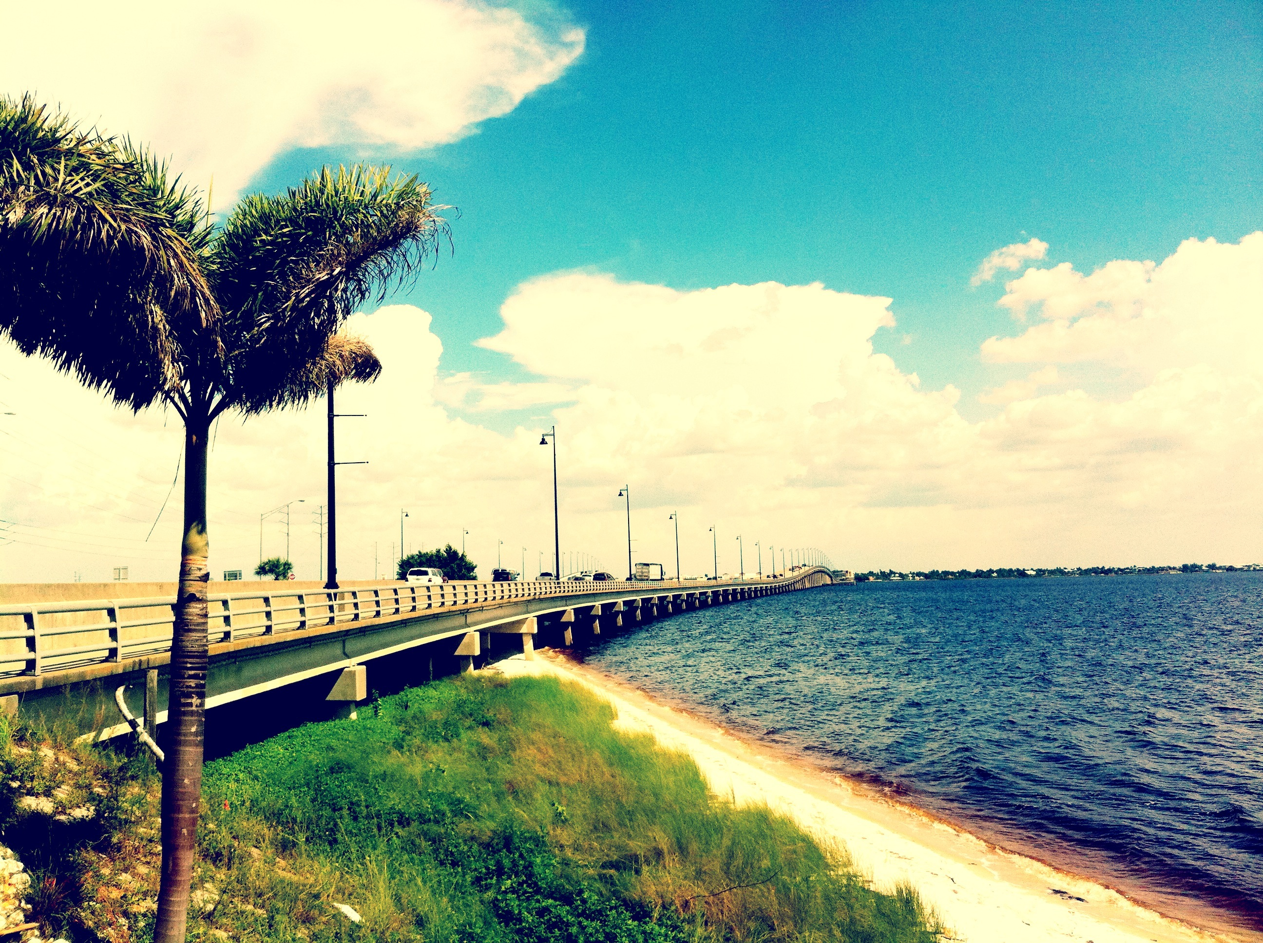
Peace River Bridge

Peace River landscape with clouds, Peace River, Florida

Sunset. Florida.

We'll miss you #florida #travel #instatravel #instagood
Peace River Landscape, Florida

Burrowing Owl
Topographic Map of Prairie Creek Blvd, Punta Gorda, FL, USA
Find elevation by address:

Places near Prairie Creek Blvd, Punta Gorda, FL, USA:
35095 Washington Loop Rd
16100 Water Oak Ct
3760 Hidden Valley Cir
16300 Ridgewood Ct
6501 Cypress Grove Cir
3800 Ridgeland Ct
6750 Cypress Grove Cir
4700 Michigan Dr
1 Mandershaw Ln
3601 Hidden Valley Cir
3601 Hidden Valley Cir
3601 Hidden Valley Cir
33101 Serene Dr
5750 Cypress Grove Cir
5062 Cypress Grove Cir
Acorn Ranch Road
37600 Bermont Rd
Bermont Rd, Punta Gorda, FL, USA
Charlotte County
10528 Co Rd 763
Recent Searches:
- Elevation of Corso Fratelli Cairoli, 35, Macerata MC, Italy
- Elevation of Tallevast Rd, Sarasota, FL, USA
- Elevation of 4th St E, Sonoma, CA, USA
- Elevation of Black Hollow Rd, Pennsdale, PA, USA
- Elevation of Oakland Ave, Williamsport, PA, USA
- Elevation of Pedrógão Grande, Portugal
- Elevation of Klee Dr, Martinsburg, WV, USA
- Elevation of Via Roma, Pieranica CR, Italy
- Elevation of Tavkvetili Mountain, Georgia
- Elevation of Hartfords Bluff Cir, Mt Pleasant, SC, USA