Elevation of Ridder, Kazakhstan
Location: Kazakhstan > East Kazakhstan Province >
Longitude: 83.5062548
Latitude: 50.3382214
Elevation: 743m / 2438feet
Barometric Pressure: 93KPa
Elevation Map:
Satellite Map:
Related Photos:
Mountain view

Snow road

Winter mountain

Риддер

Private DR1B DMU

RZD passenger train

2017-03-23_07-17-02

2017-03-23_07-12-53
2017-03-12_06-42-56
First days of spring

2017-03-04_09-37-12

Spring is coming!

2017-02-20_08-29-04
2017-02-20_08-28-29
2017-02-20_08-25-30

2017-02-20_08-25-15
2017-02-20_08-24-43

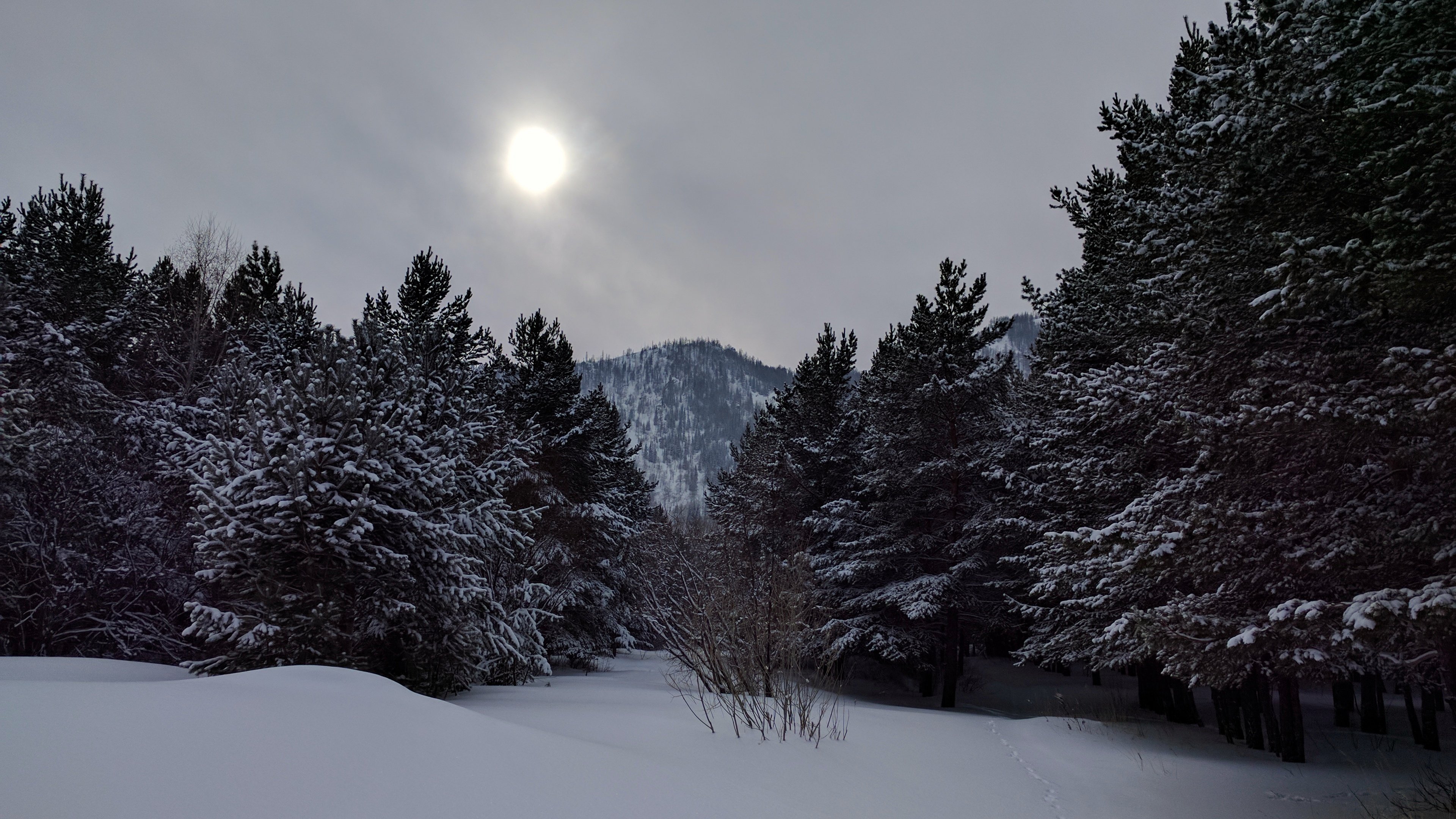
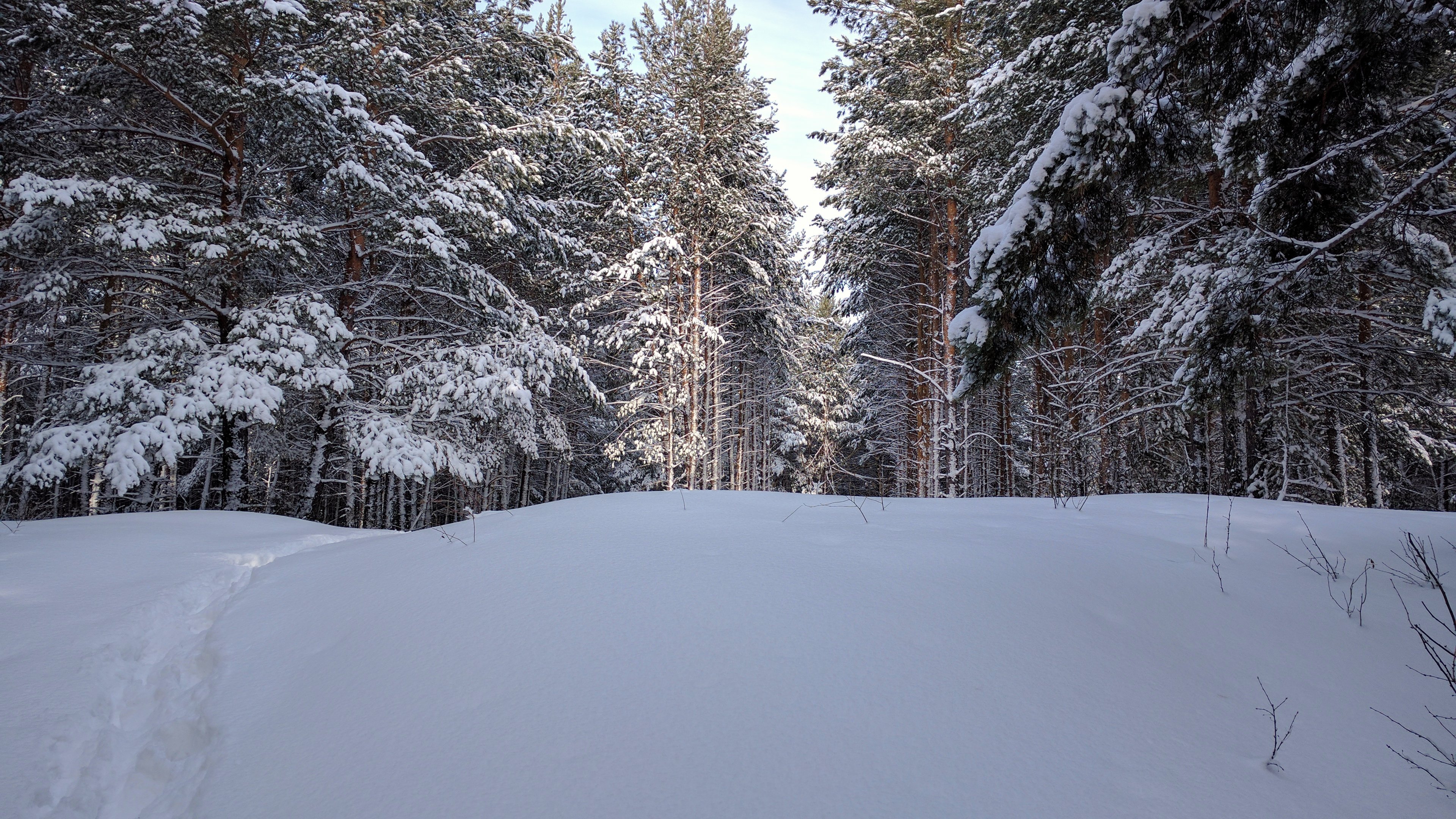
Winter fofest
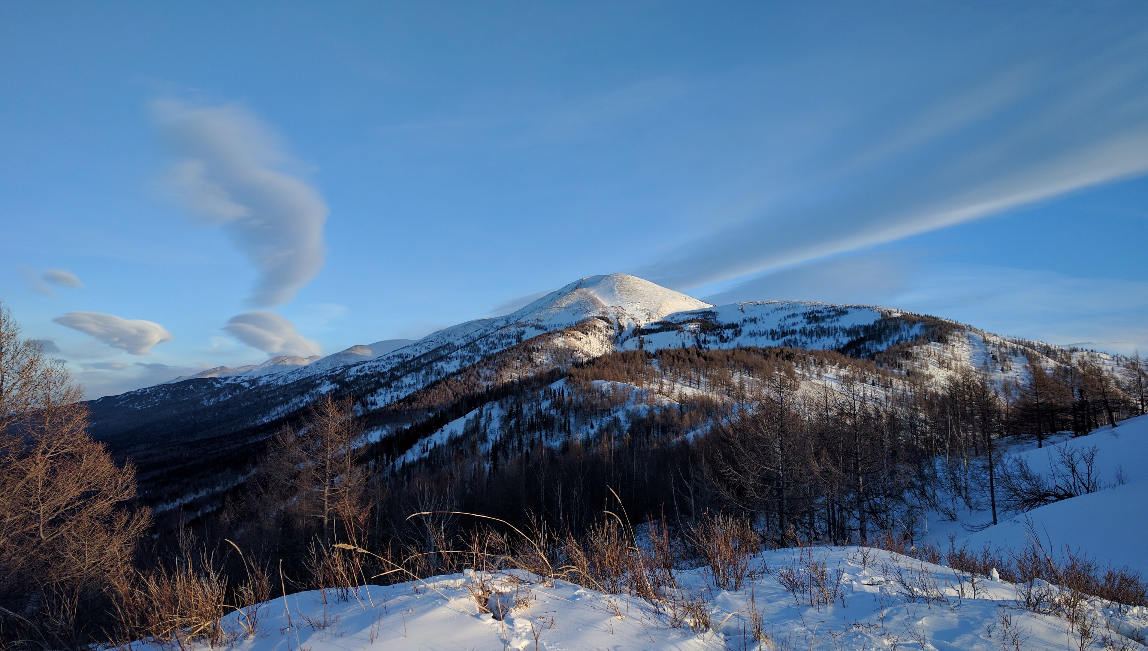
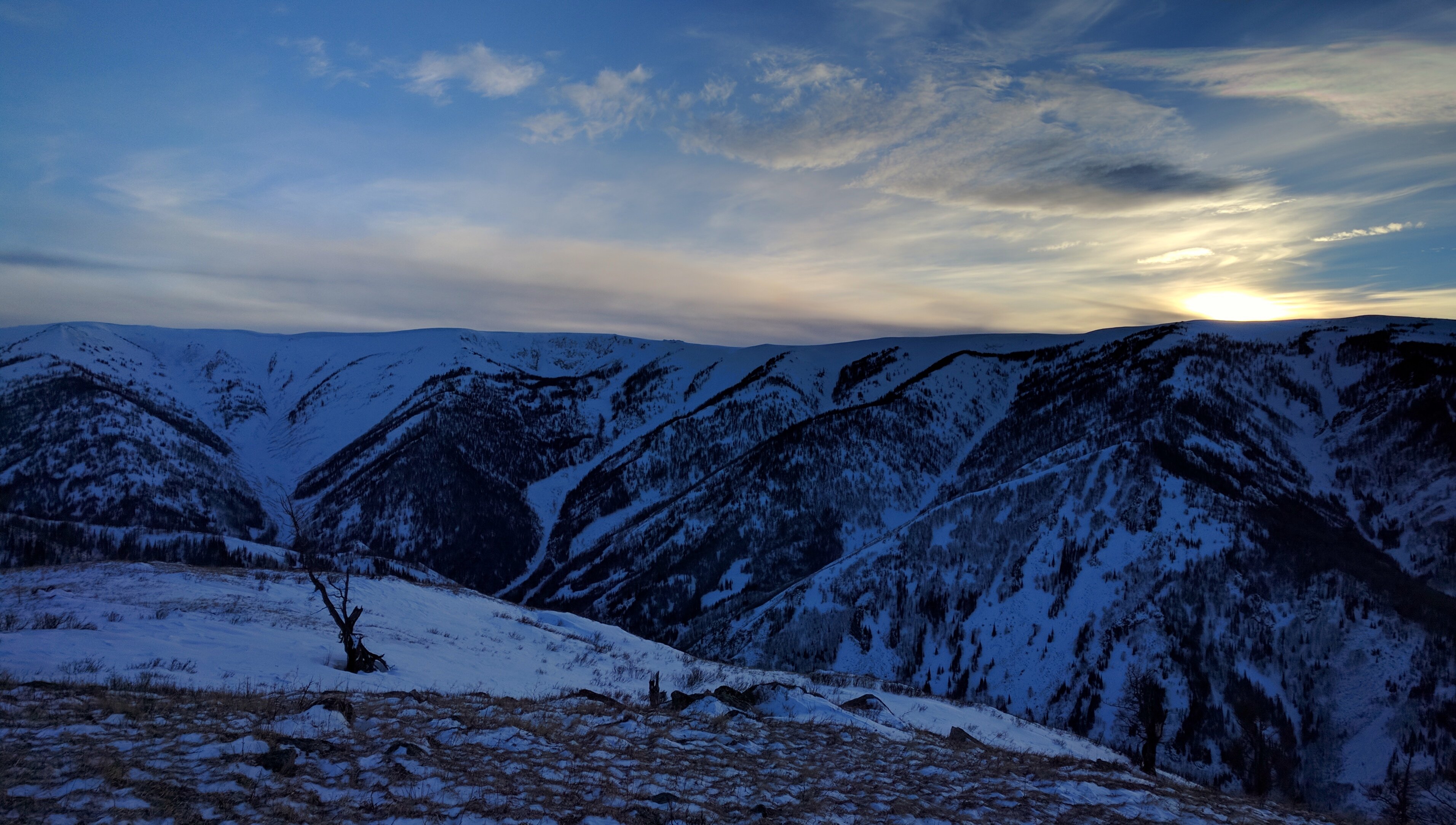
Mountain ridge

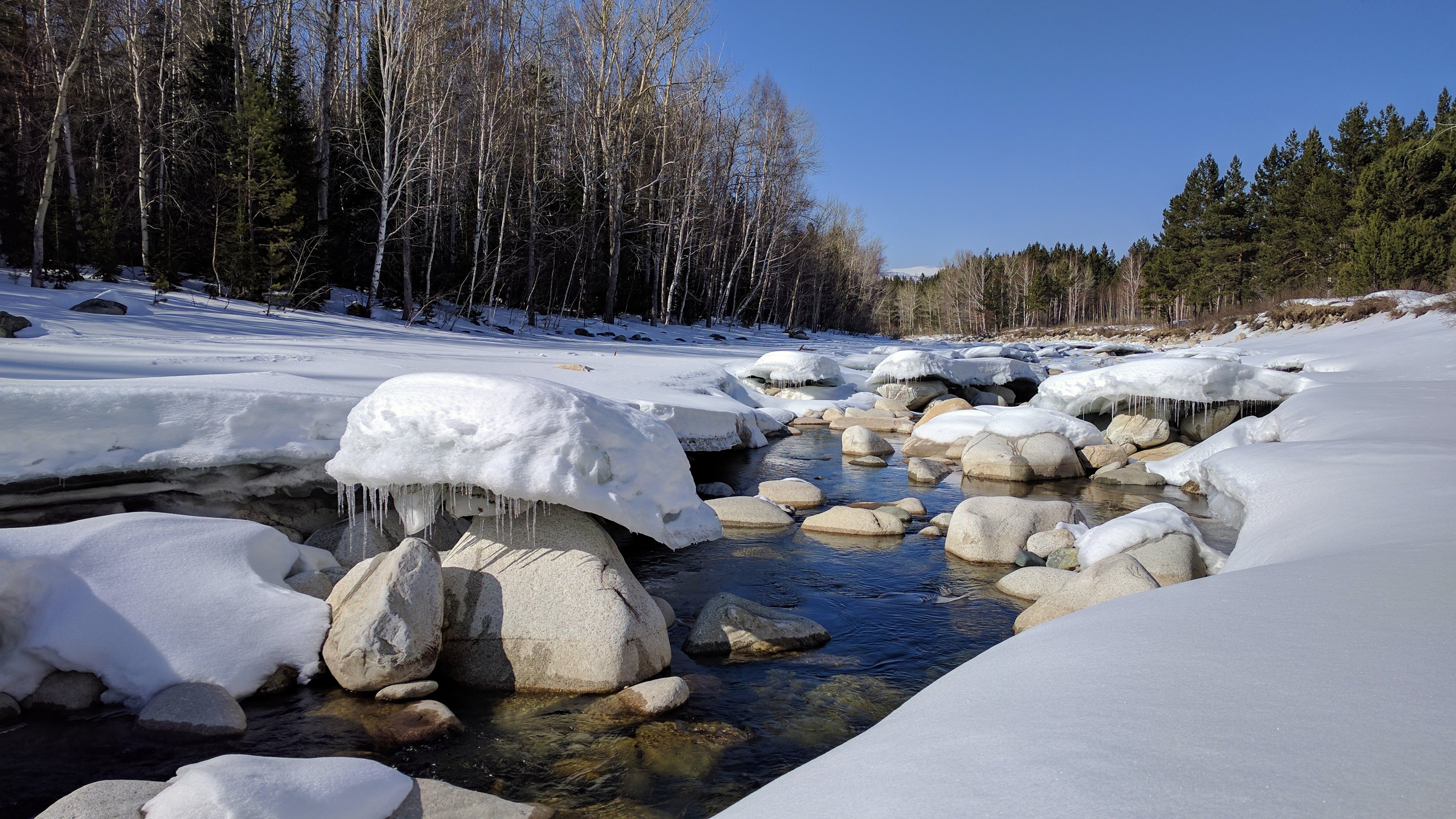
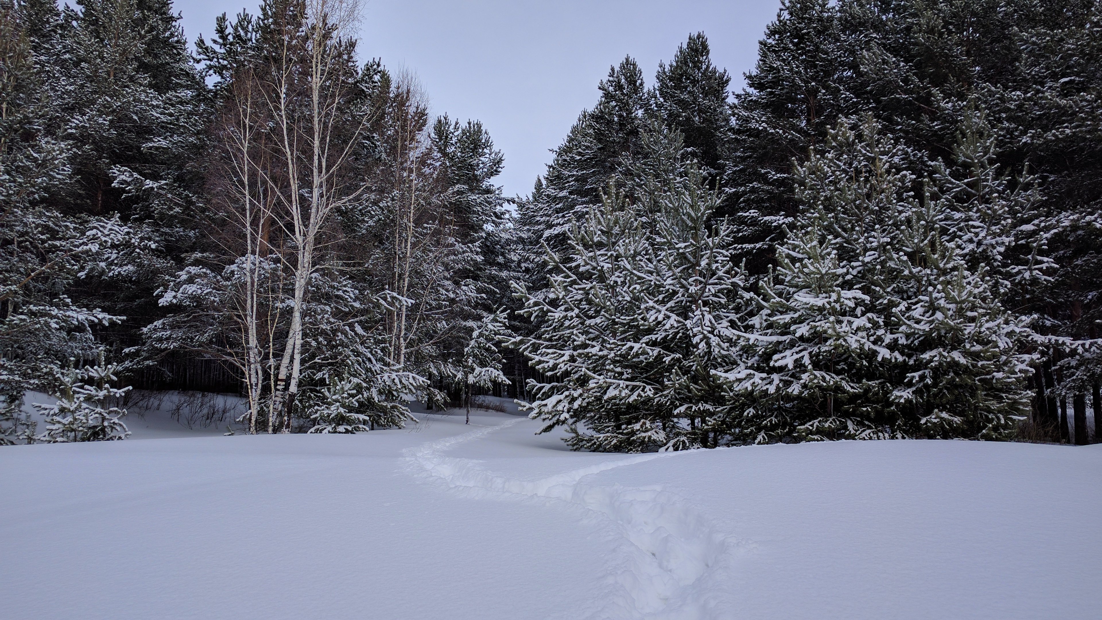
Winter forest

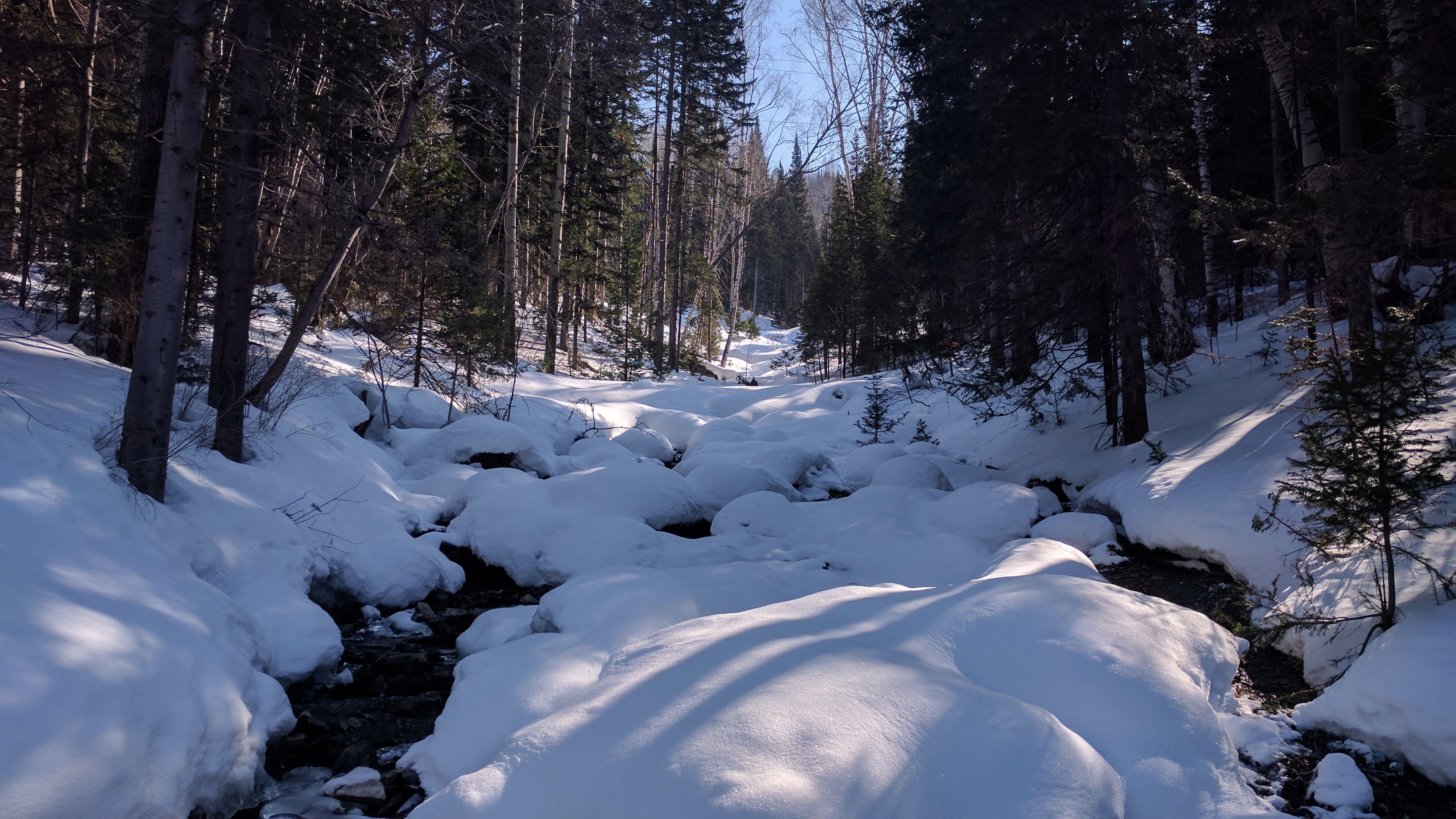
Montain brook
Topographic Map of Ridder, Kazakhstan
Find elevation by address:

Recent Searches:
- Elevation of Corso Fratelli Cairoli, 35, Macerata MC, Italy
- Elevation of Tallevast Rd, Sarasota, FL, USA
- Elevation of 4th St E, Sonoma, CA, USA
- Elevation of Black Hollow Rd, Pennsdale, PA, USA
- Elevation of Oakland Ave, Williamsport, PA, USA
- Elevation of Pedrógão Grande, Portugal
- Elevation of Klee Dr, Martinsburg, WV, USA
- Elevation of Via Roma, Pieranica CR, Italy
- Elevation of Tavkvetili Mountain, Georgia
- Elevation of Hartfords Bluff Cir, Mt Pleasant, SC, USA