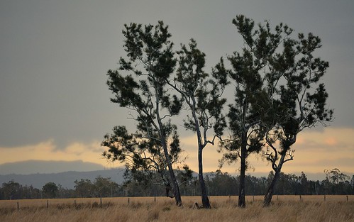
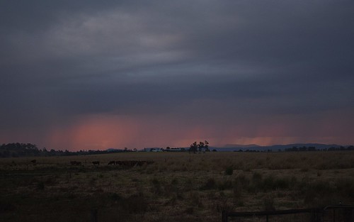
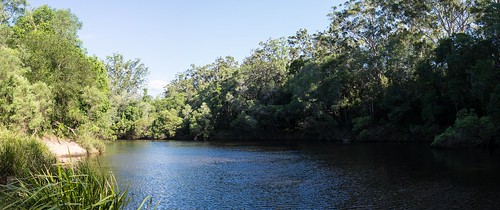
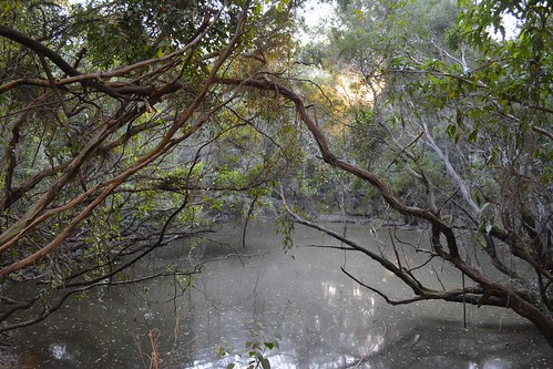
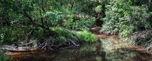
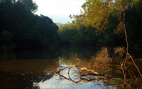
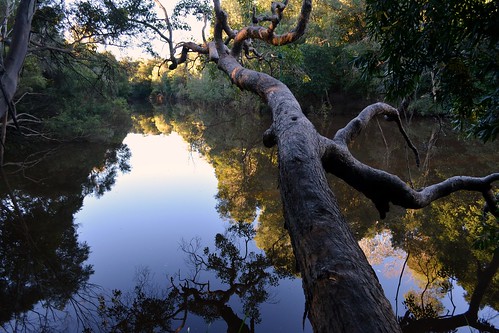
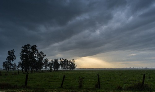
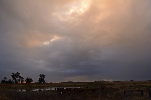
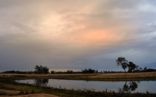
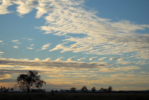
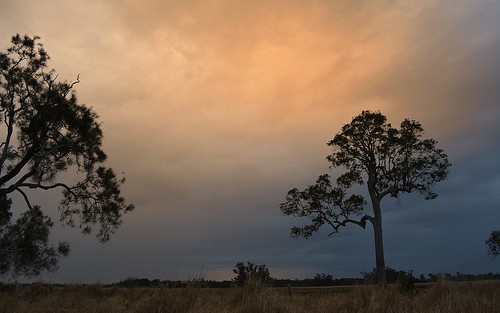
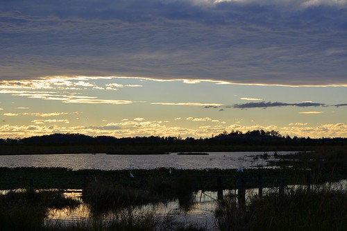
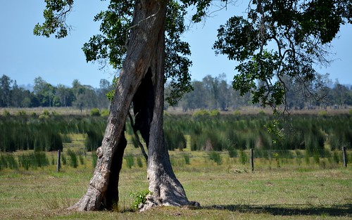
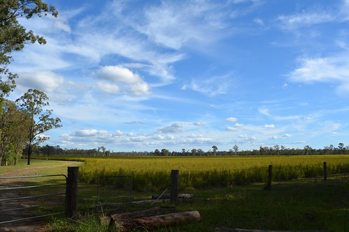
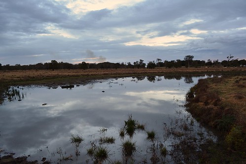
Elevation map of Richmond Valley Council, Richmond Valley, NSW, Australia
Location: Australia > New South Wales >
Longitude: 153.108965
Latitude: -29.038067
Elevation: 48m / 157feet
Barometric Pressure: 101KPa
Related Photos:
Topographic Map of Richmond Valley Council, Richmond Valley, NSW, Australia
Find elevation by address:

Places in Richmond Valley Council, Richmond Valley, NSW, Australia:
Places near Richmond Valley Council, Richmond Valley, NSW, Australia:
Casino
Lismore City Council
696 Keerrong Rd
Keerrong
446 Gwynne Rd
Georgica
197 Billen Rd
1158 Pinchin Rd
Knights Road
Kyogle
Ettrick
Tuntable Creek
Serenity Hills
90 Zouch Rd
Stony Chute
Nimbin
Blade Road
113 Mahogany Dr
442 Blue Knob Rd
Blue Knob
Recent Searches:
- Elevation of Corso Fratelli Cairoli, 35, Macerata MC, Italy
- Elevation of Tallevast Rd, Sarasota, FL, USA
- Elevation of 4th St E, Sonoma, CA, USA
- Elevation of Black Hollow Rd, Pennsdale, PA, USA
- Elevation of Oakland Ave, Williamsport, PA, USA
- Elevation of Pedrógão Grande, Portugal
- Elevation of Klee Dr, Martinsburg, WV, USA
- Elevation of Via Roma, Pieranica CR, Italy
- Elevation of Tavkvetili Mountain, Georgia
- Elevation of Hartfords Bluff Cir, Mt Pleasant, SC, USA

