Elevation of Georgica NSW, Australia
Location: Australia > New South Wales > Lismore City Council >
Longitude: 153.161976
Latitude: -28.645172
Elevation: 213m / 699feet
Barometric Pressure: 99KPa
Elevation Map:
Satellite Map:
Related Photos:

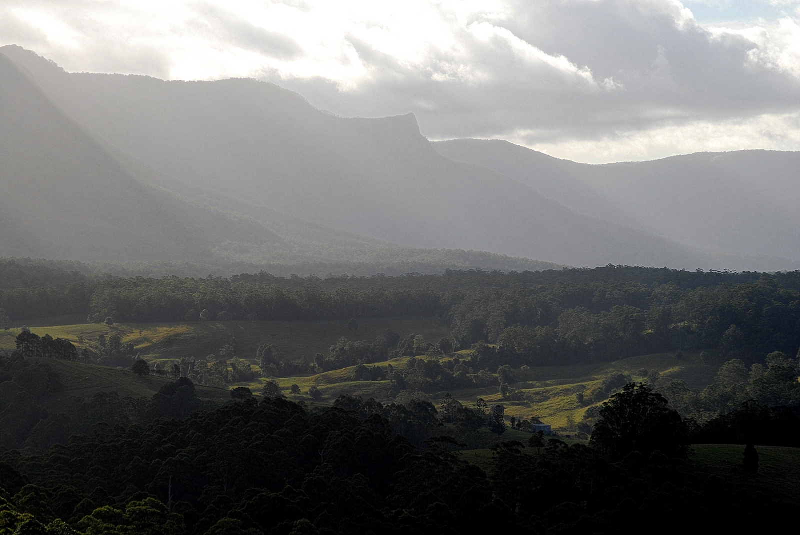
above Tuntable Creek

South View, Kyogle Station

go amber

Blue Knob in a small way

best views in town

Kyogle Town centre panorama

View of Kyogle

All the Bella Fontes

View From Nimbin YHA

Koonorigan Range

fog church / house

feeder sky

Tower Mountain

Storm near Naughtons Gap

edge of Goolmangar

Boorabee Park landscape

Cawongla 2

Two Tallowwoods

Two-tailed Spider

Richmond Valley

Tuntable Creek Valley
edge of Mebbin Forest

Rough Barked Apple Gum

Terania Creek

paperbarks near Keerrong

Pinchin Road

stormy afternoon

Fawcett's Plains
Topographic Map of Georgica NSW, Australia
Find elevation by address:

Places near Georgica NSW, Australia:
197 Billen Rd
446 Gwynne Rd
Serenity Hills
Stony Chute
90 Zouch Rd
Blade Road
Nimbin
442 Blue Knob Rd
Blue Knob
Tuntable Creek
45 Lillian Rock Rd
4358 Kyogle Rd
Rainbow Ridge Steiner School
645 Williams Rd
1158 Pinchin Rd
Keerrong
Upper Horseshoe Creek
696 Keerrong Rd
990 Horseshoe Creek Rd
11 Sugar Glider Rd
Recent Searches:
- Elevation of Corso Fratelli Cairoli, 35, Macerata MC, Italy
- Elevation of Tallevast Rd, Sarasota, FL, USA
- Elevation of 4th St E, Sonoma, CA, USA
- Elevation of Black Hollow Rd, Pennsdale, PA, USA
- Elevation of Oakland Ave, Williamsport, PA, USA
- Elevation of Pedrógão Grande, Portugal
- Elevation of Klee Dr, Martinsburg, WV, USA
- Elevation of Via Roma, Pieranica CR, Italy
- Elevation of Tavkvetili Mountain, Georgia
- Elevation of Hartfords Bluff Cir, Mt Pleasant, SC, USA