Elevation of Richland Township, OH, USA
Location: United States > Ohio > Vinton County >
Longitude: -82.583494
Latitude: 39.2297322
Elevation: 285m / 935feet
Barometric Pressure: 98KPa
Elevation Map:
Satellite Map:
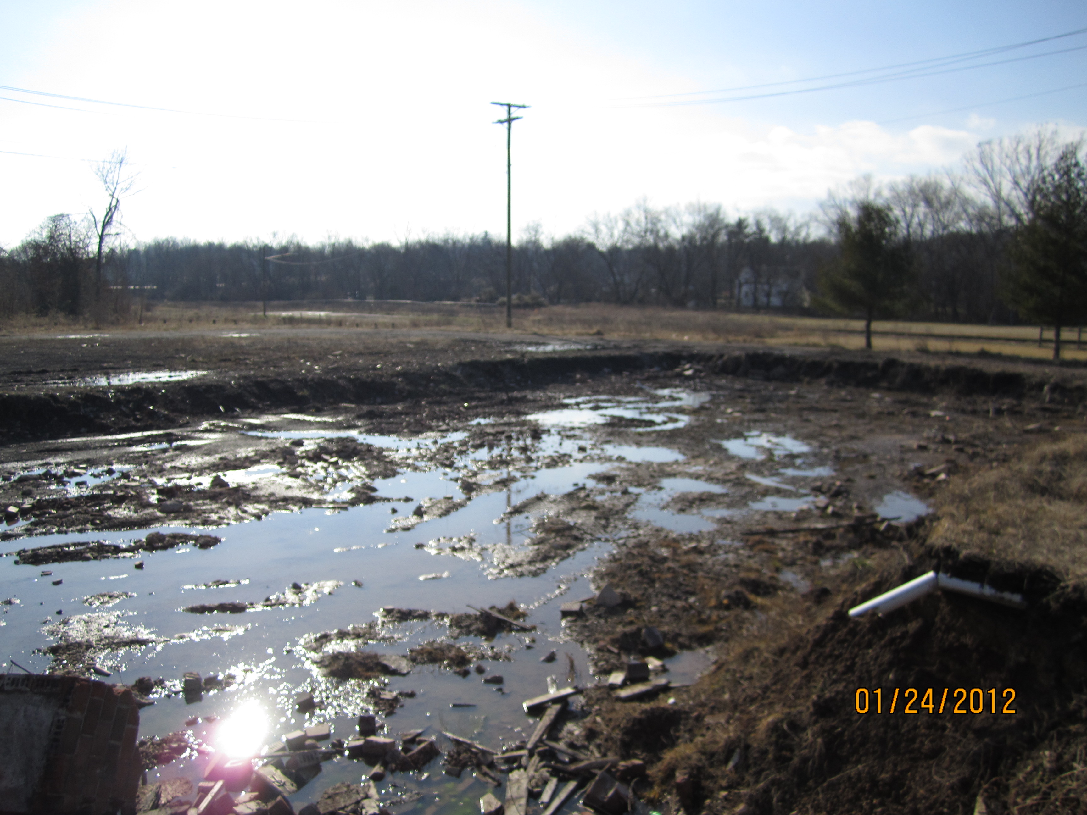
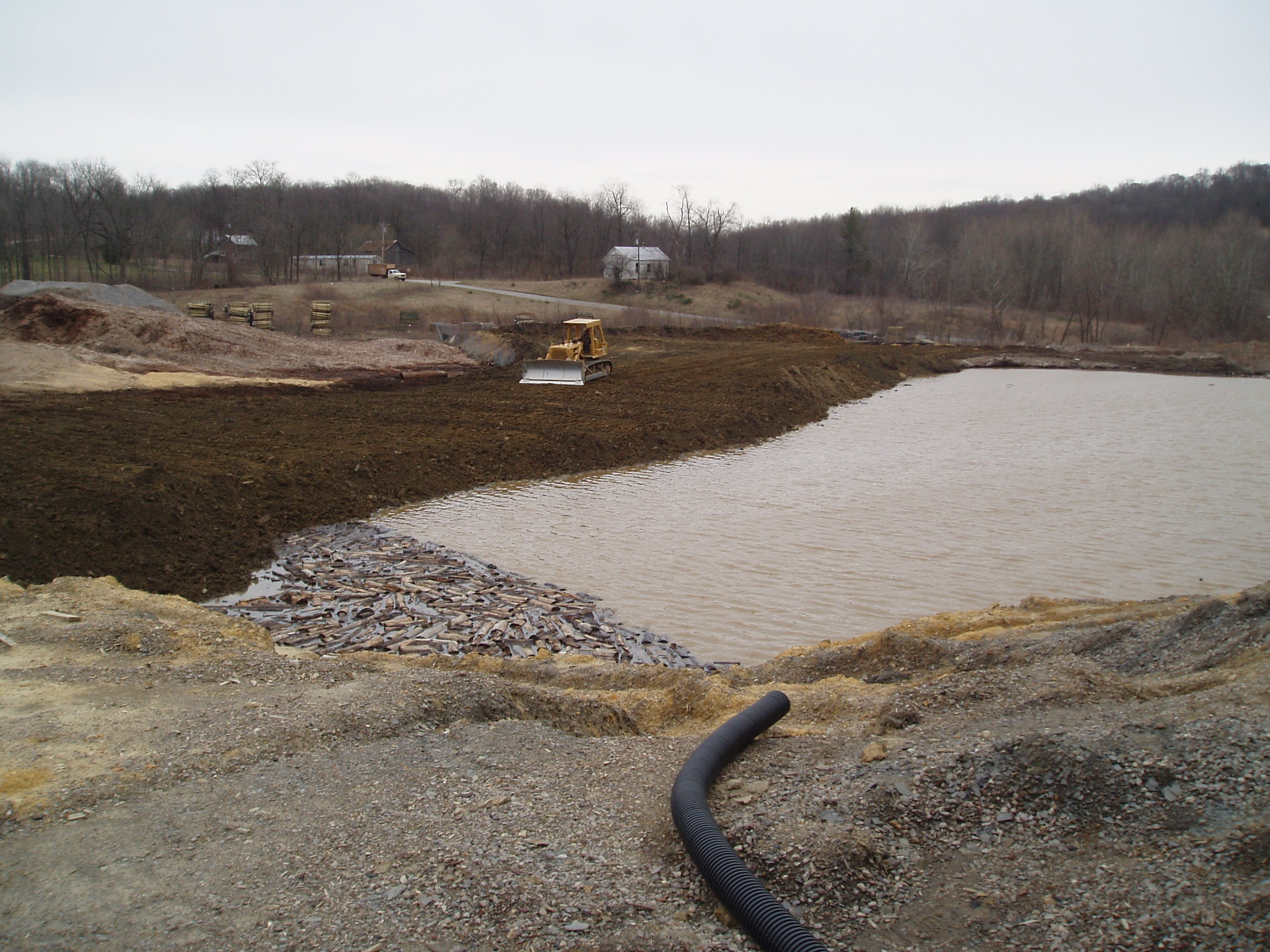
Related Photos:

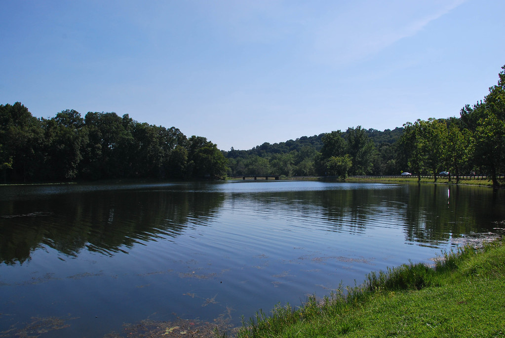
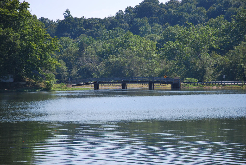
Lake Alma State Park 2

Lotus Europa

Leo Petroglyph State Park

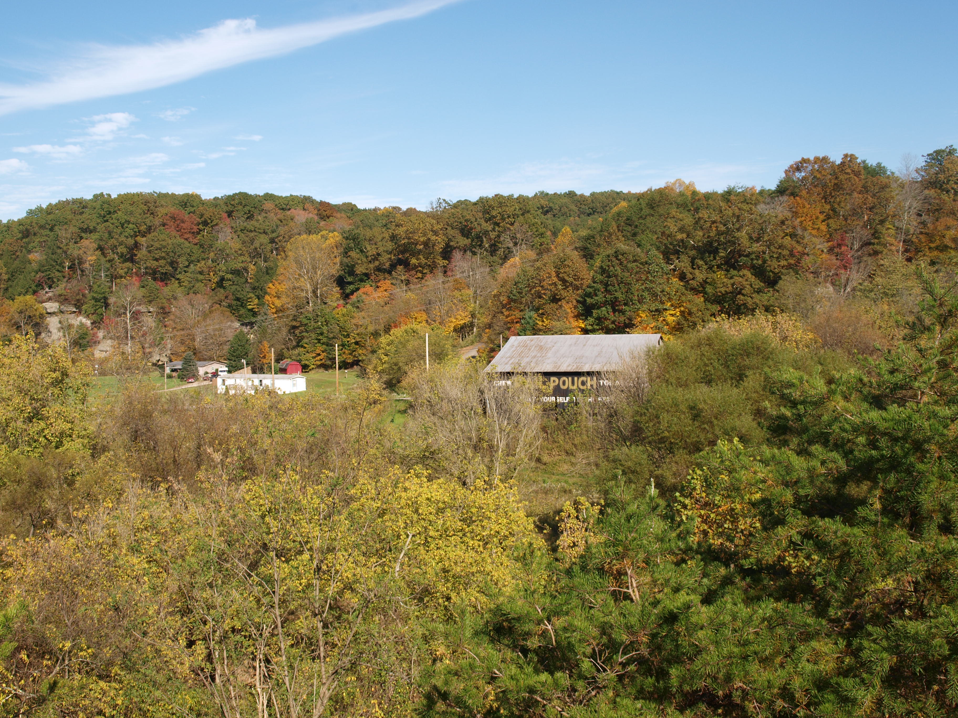
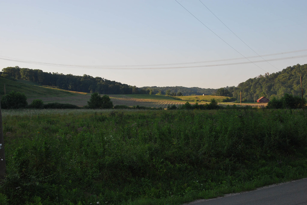
Southeastern Ohio #rollinhills #rural #vista #landscape #pretty #nov2874 #sprphotog

Lake Alma State Park 1

Lake Alma State Park 3
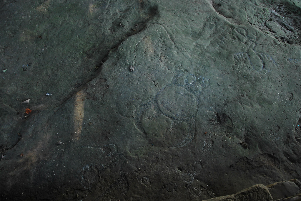
Leo Petroglyph

2012-08-20_13-37-40_396

Lake Alma State Park 4
Wellston-Kuppenheimer Trouser Factory (COAF)

Lake Alma State Park - Ohio
MPB 35-40-02, Jackson County, Ohio
McArthur-McArthur Lumber (COAF)
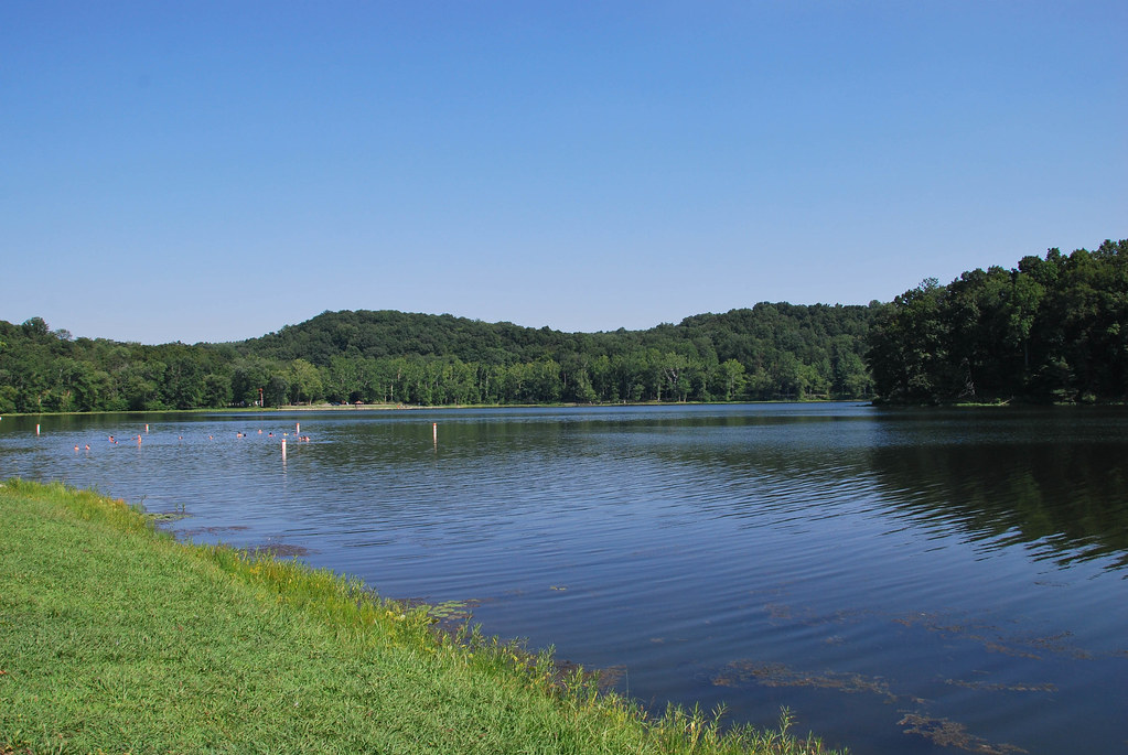
Lake Alma State Park
Lake Alma State Park
Lake Alma State Park
McArthur-McArthur Lumber (COAF)
Mount Olive Road Covered Bridge

Leo Petroglyph

Leo Petroglyph

Leo Petroglyph

Leo Petroglyph
Topographic Map of Richland Township, OH, USA
Find elevation by address:

Places in Richland Township, OH, USA:
Places near Richland Township, OH, USA:
34116 Township Hwy 23a
60198 Gorrell Rd
Richland
59458 Curry Rd
Vinton County
Ray
Mcarthur
Sour Run Road
Wellston
214e
Raysville Rd, Wellston, OH, USA
950 Hard Scrapple Rd
Tom Corwin Rd, Wellston, OH, USA
Coal Township
Creola
Jackson Township
24889 Potter Ridge Rd
2396s
36 Savageville School Rd, Ray, OH, USA
Swan Township
Recent Searches:
- Elevation of Corso Fratelli Cairoli, 35, Macerata MC, Italy
- Elevation of Tallevast Rd, Sarasota, FL, USA
- Elevation of 4th St E, Sonoma, CA, USA
- Elevation of Black Hollow Rd, Pennsdale, PA, USA
- Elevation of Oakland Ave, Williamsport, PA, USA
- Elevation of Pedrógão Grande, Portugal
- Elevation of Klee Dr, Martinsburg, WV, USA
- Elevation of Via Roma, Pieranica CR, Italy
- Elevation of Tavkvetili Mountain, Georgia
- Elevation of Hartfords Bluff Cir, Mt Pleasant, SC, USA