Elevation of Richland Township, MO, USA
Location: United States > Missouri > Gasconade County >
Longitude: -91.578999
Latitude: 38.6213965
Elevation: 222m / 728feet
Barometric Pressure: 99KPa
Elevation Map:
Satellite Map:
Related Photos:
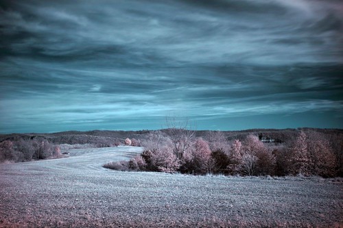
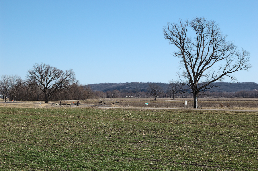
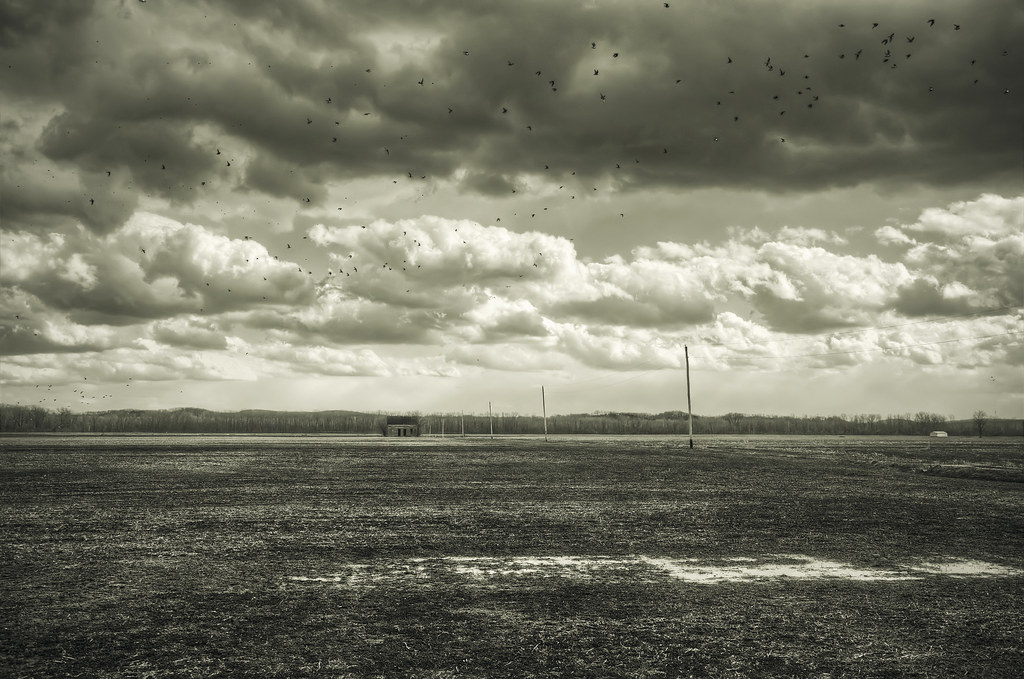
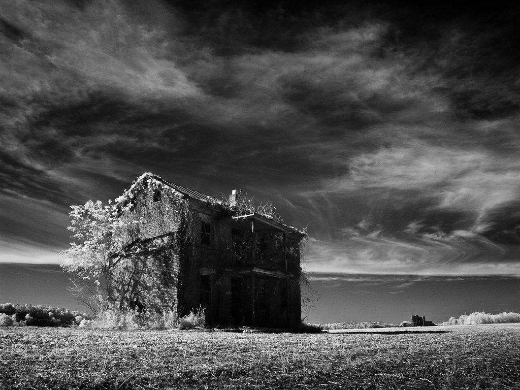
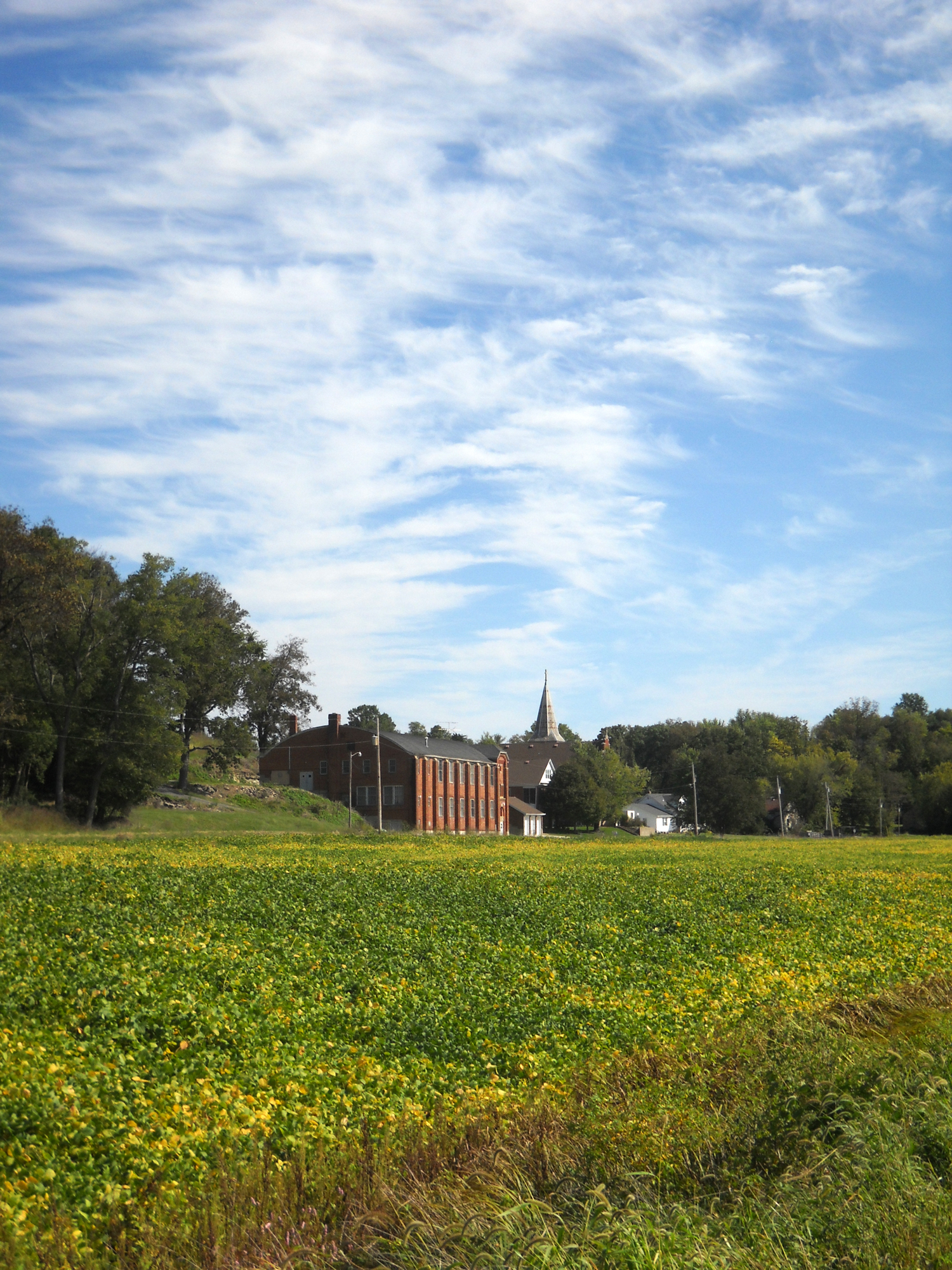
Farmland IR 11.12.2006
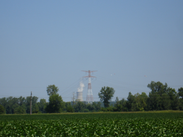
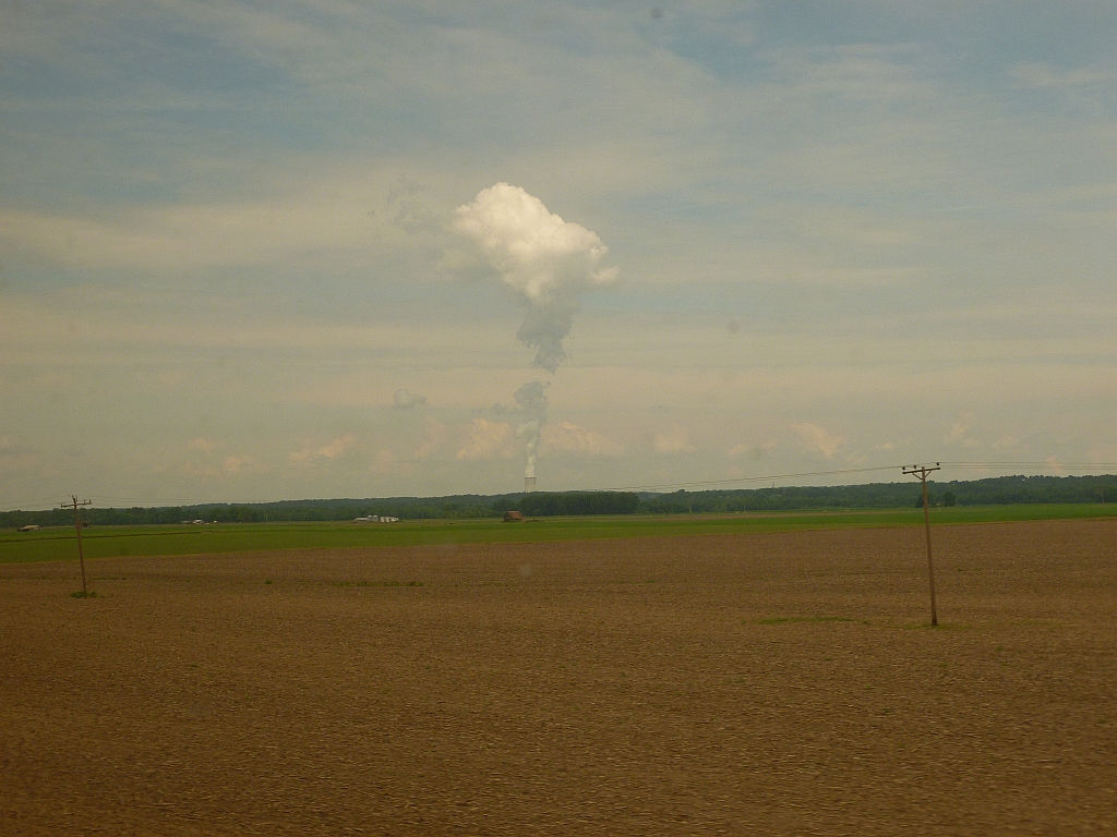
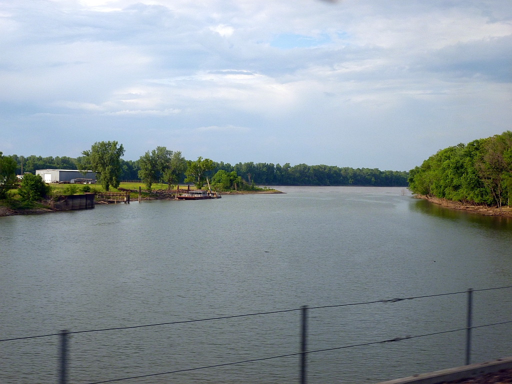
View of electrical lines crossing the MO River on MO-100 in Osage County from Callaway Nuclear Plant
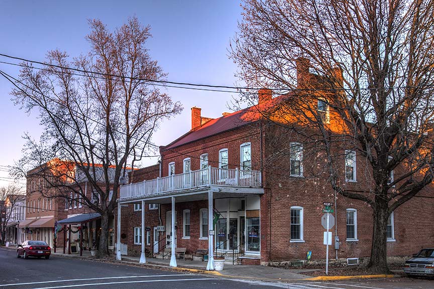
Schiller and Third
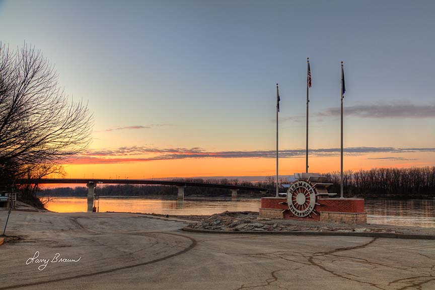
River Front Park
Gasconade County Courthouse

Stone Hill was open on July 4th. I was surprised that they'd be open, but when the shock faded, I recovered quickly enough to buy wine and to admire the view.
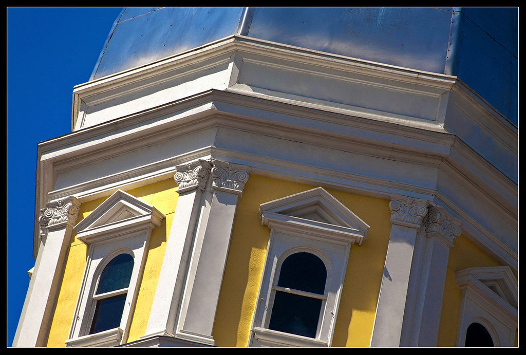
Saint George Catholic Church, in Hermann, Missouri - view from a distance 1.jpg

Saint George Catholic Church, in Hermann, Missouri - view from a distance 2.jpg
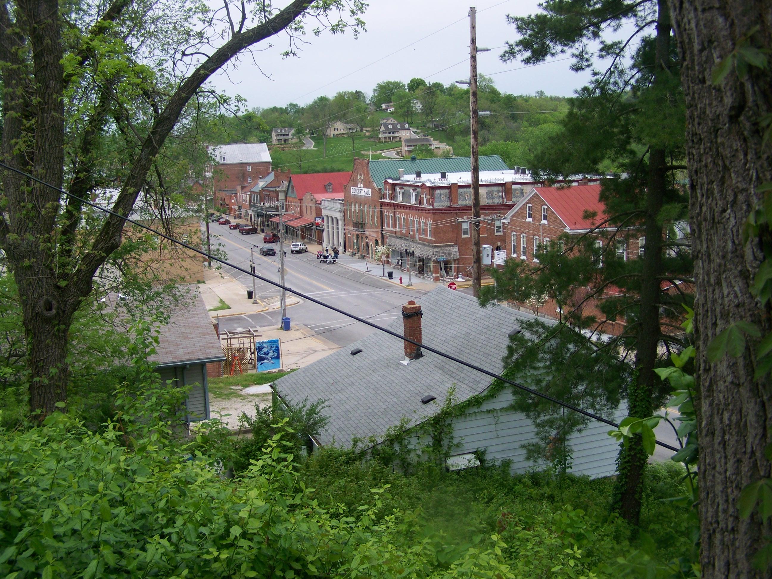
Hermann, 21 May 2005 (1)

Church of the Risen Savior (Saint Joseph), in Rhineland, Missouri, USA - view of Missouri River flood plain from cemetery
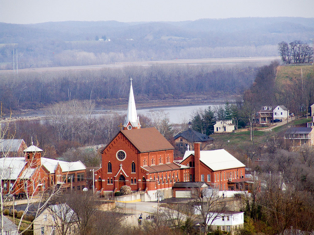
Hermann MO
Church of the Risen Savior (Saint Joseph), in Rhineland, Missouri, USA - view of Missouri River flood plain from church
View of Southern Montgomery County
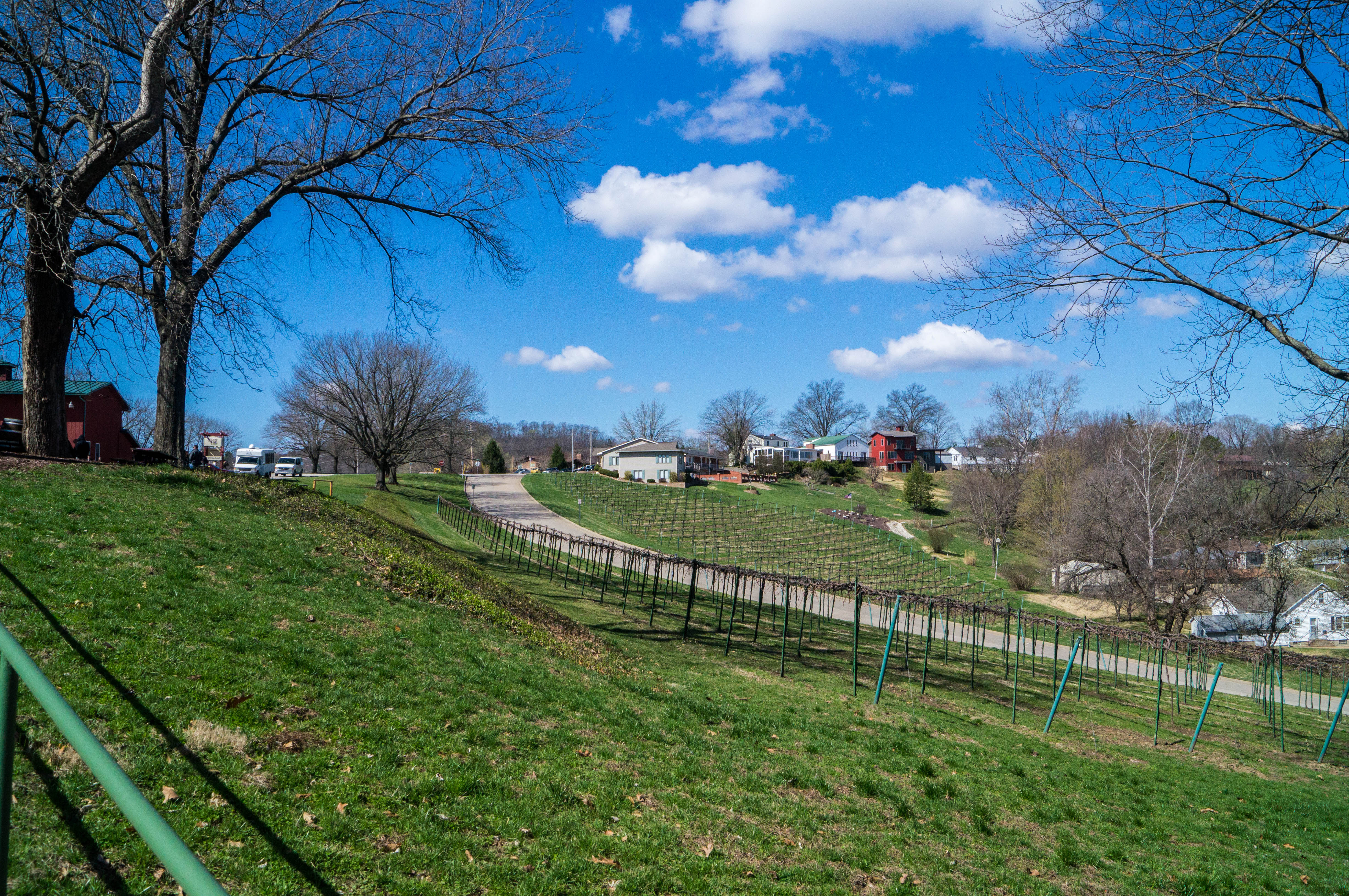
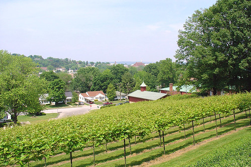
View of Hermann from Stone Hill Winery
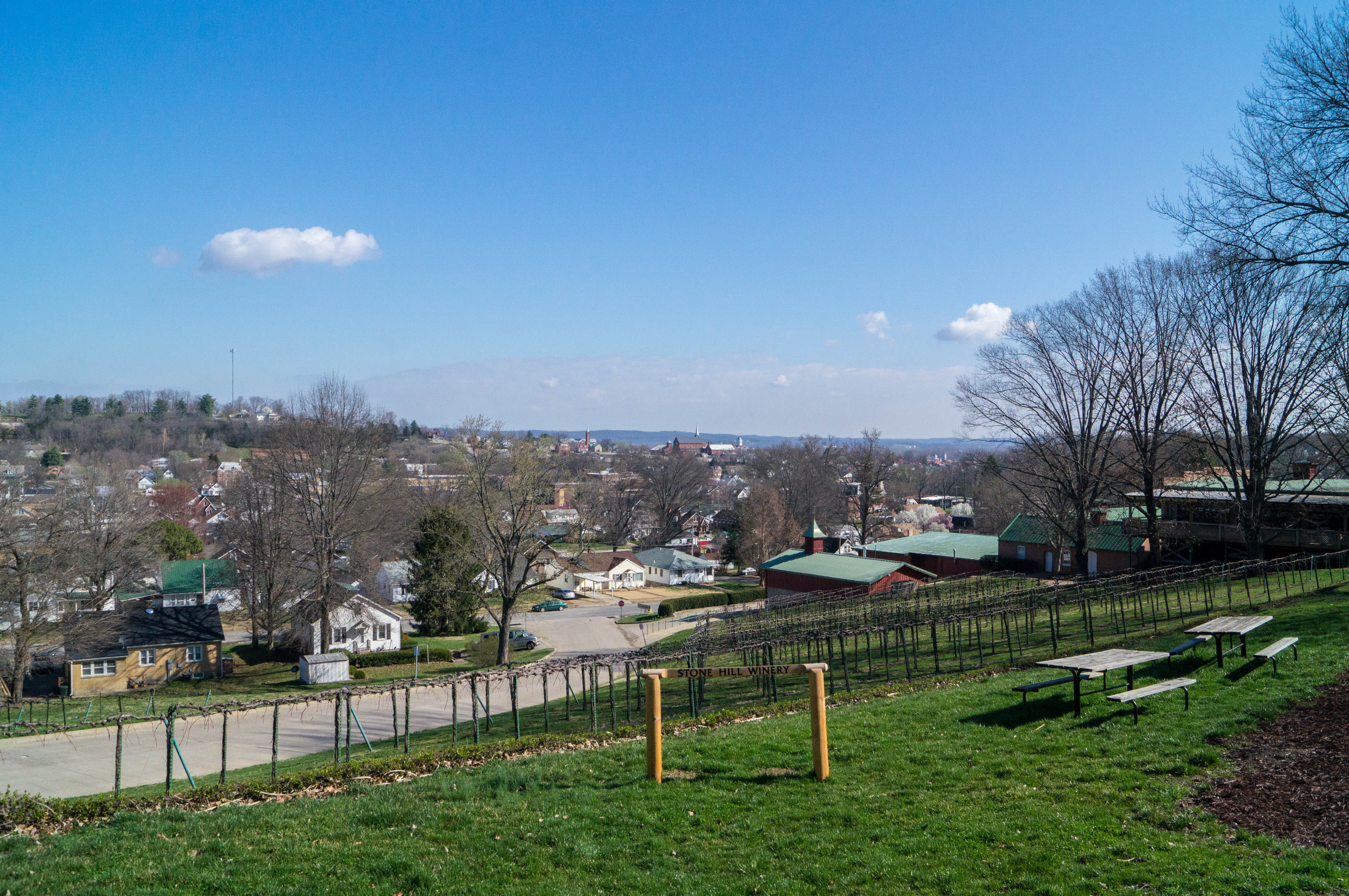
View of Hermann from Stone Hill Winery
River Bottom Road
Stray Landscape
'Cross the Wide Missouri

Riding the Katy Trail. Missouri.
NTD 2012

Riding the Katy Trail. Missouri.
Missouri countryside (2)
NTD 2012
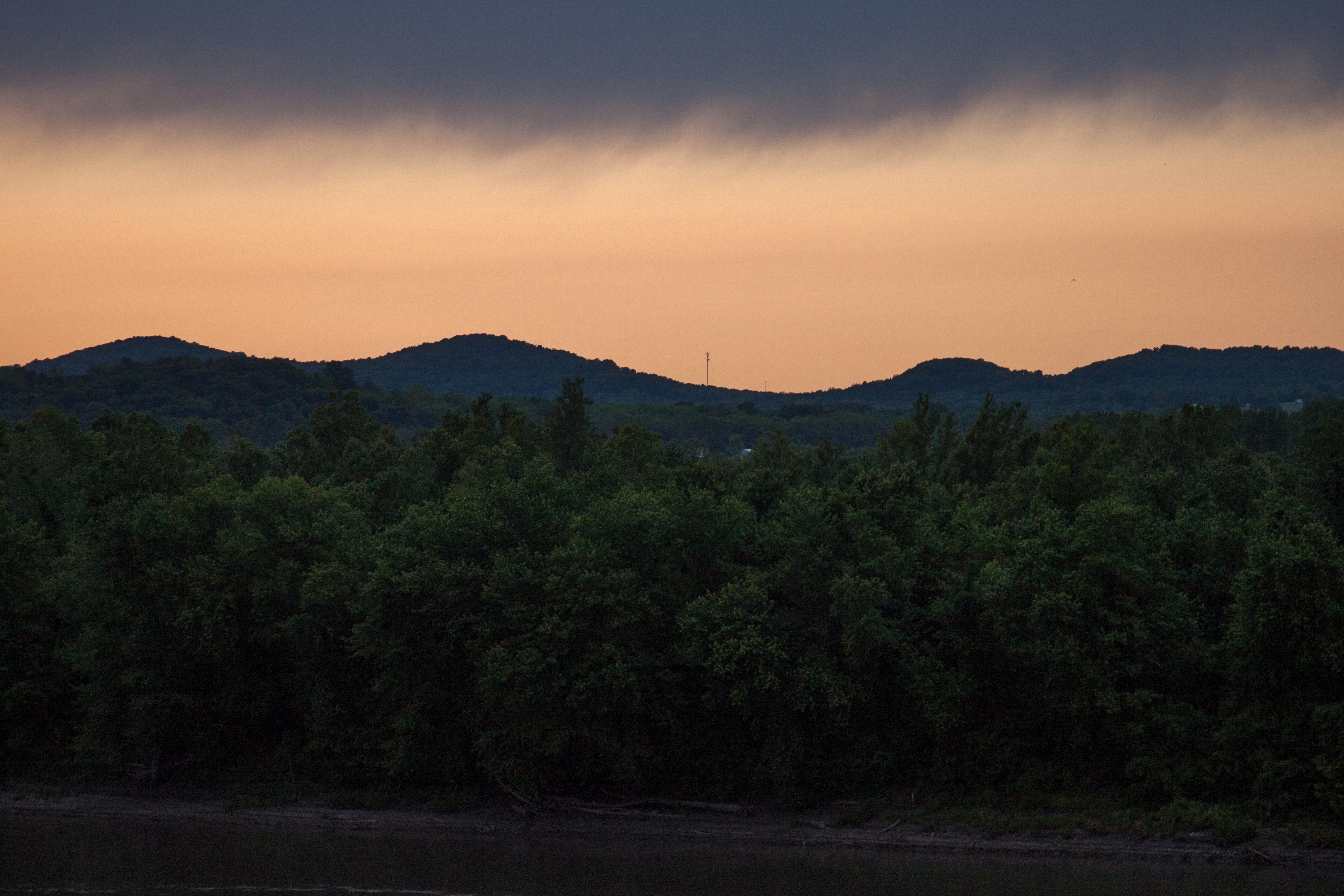
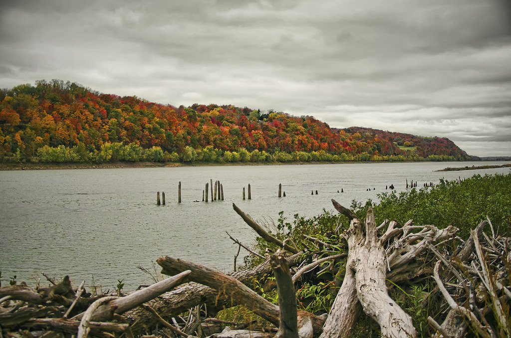
Fire On The Missouri
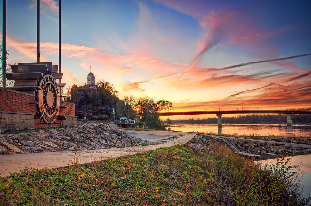
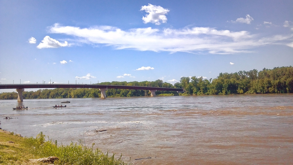
On The Riverfront
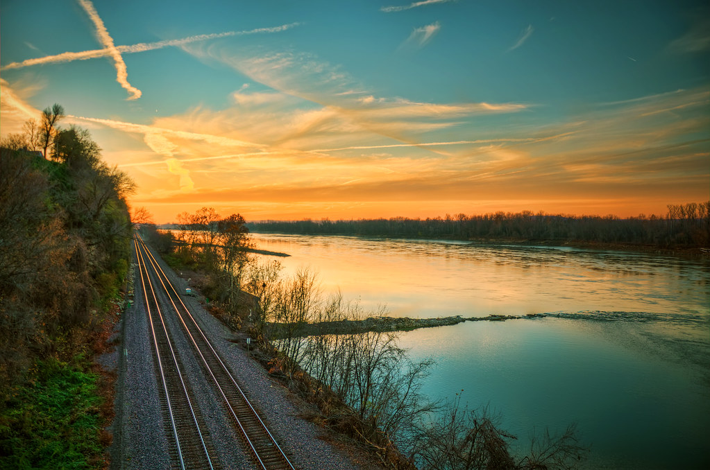
West Along The Missouri
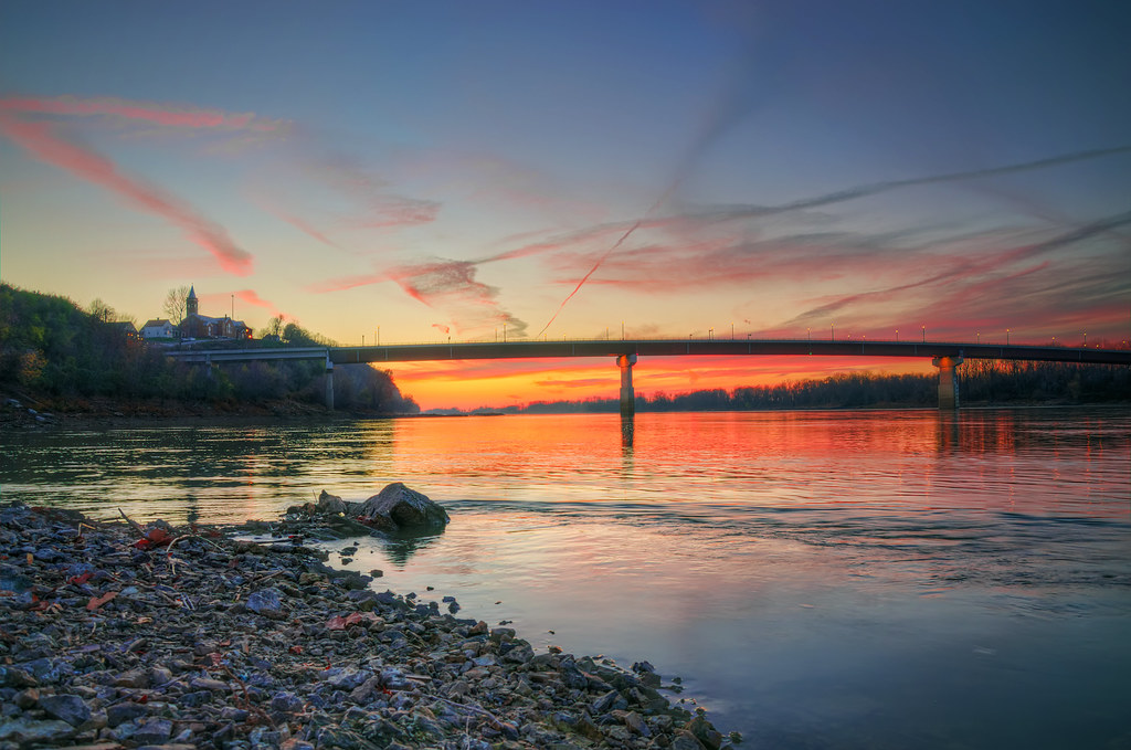
Hermann-100
There are no great days left... just days

Along The Missouri
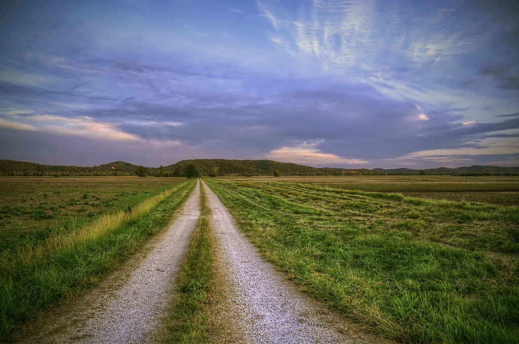
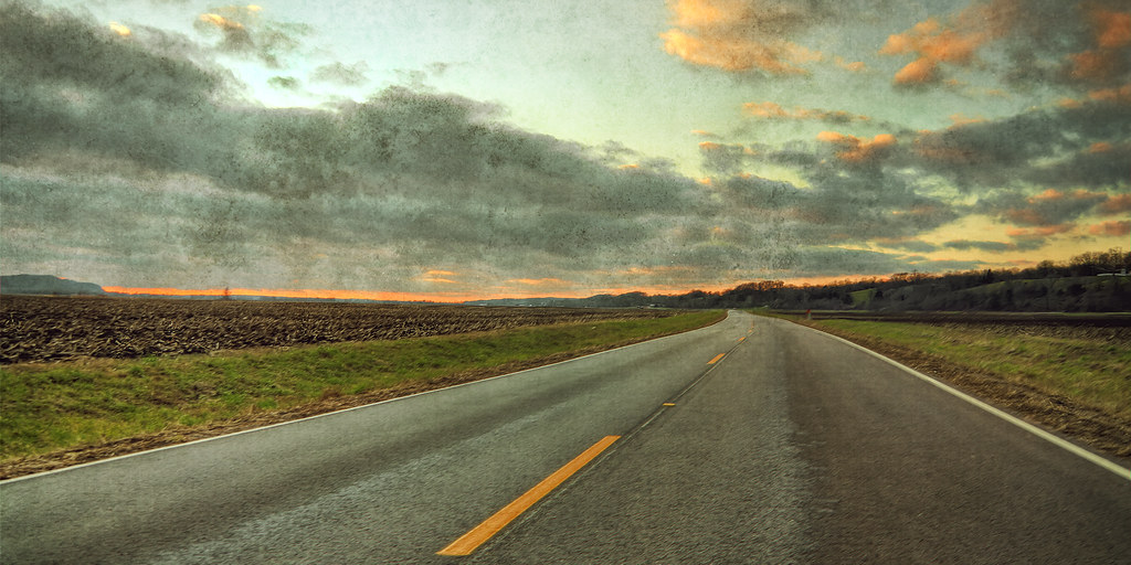
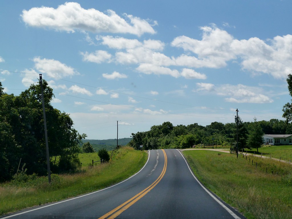
Country Road
Scenic Stream
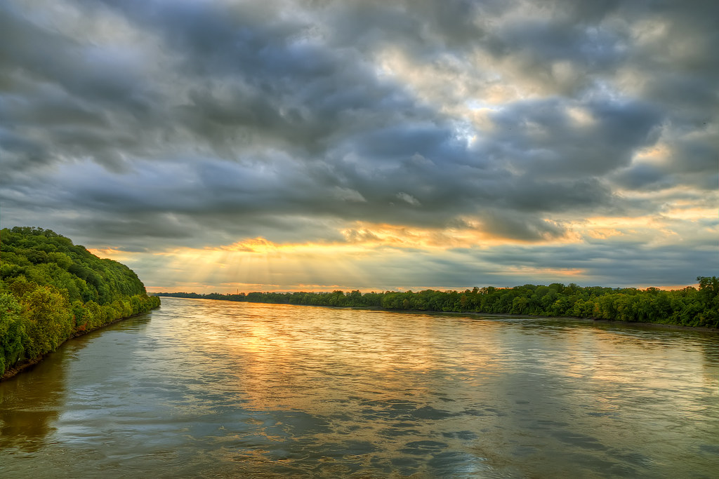
Missouri River Rays
Rhineland, MO
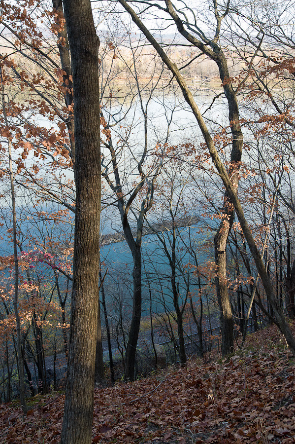
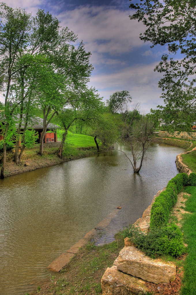
Rustic Rivers Edge
Topographic Map of Richland Township, MO, USA
Find elevation by address:

Places in Richland Township, MO, USA:
Places near Richland Township, MO, USA:
Pershing Rd, Morrison, MO, USA
Morrison
Bluffton
Rhineland
MO-19, Hermann, MO, USA
Roark Township
Loutre Township
Benton Township
1164 Lovers Ln
1116 Washington St
1116 Washington St
Hermann
4 Schiller St
8282 Mo-89
Chamois
N Cherry St, Chamois, MO, USA
Auxvasse Township
206 Market St
206 Market St
MO-19, New Florence, MO, USA
Recent Searches:
- Elevation of Corso Fratelli Cairoli, 35, Macerata MC, Italy
- Elevation of Tallevast Rd, Sarasota, FL, USA
- Elevation of 4th St E, Sonoma, CA, USA
- Elevation of Black Hollow Rd, Pennsdale, PA, USA
- Elevation of Oakland Ave, Williamsport, PA, USA
- Elevation of Pedrógão Grande, Portugal
- Elevation of Klee Dr, Martinsburg, WV, USA
- Elevation of Via Roma, Pieranica CR, Italy
- Elevation of Tavkvetili Mountain, Georgia
- Elevation of Hartfords Bluff Cir, Mt Pleasant, SC, USA