Elevation of MO-19, Hermann, MO, USA
Location: United States > Missouri >
Longitude: -91.470116
Latitude: 38.5622949
Elevation: 282m / 925feet
Barometric Pressure: 98KPa
Elevation Map:
Satellite Map:
Related Photos:
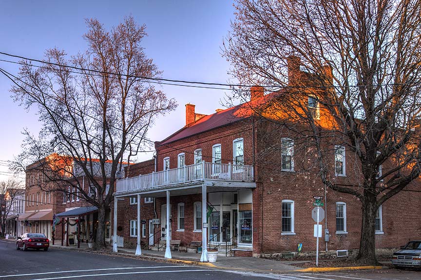
Schiller and Third
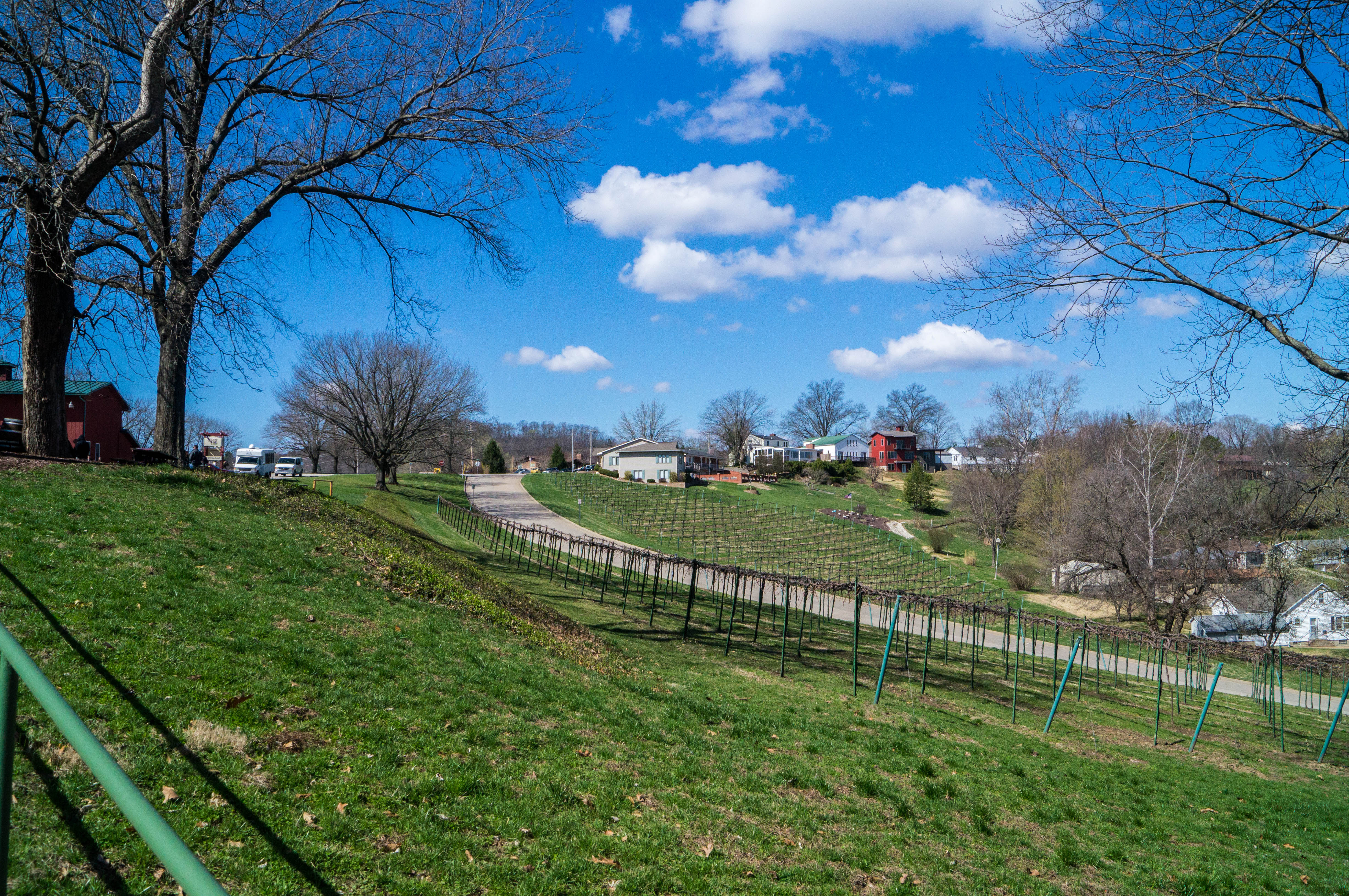
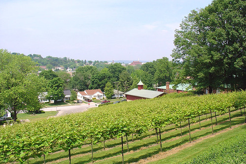
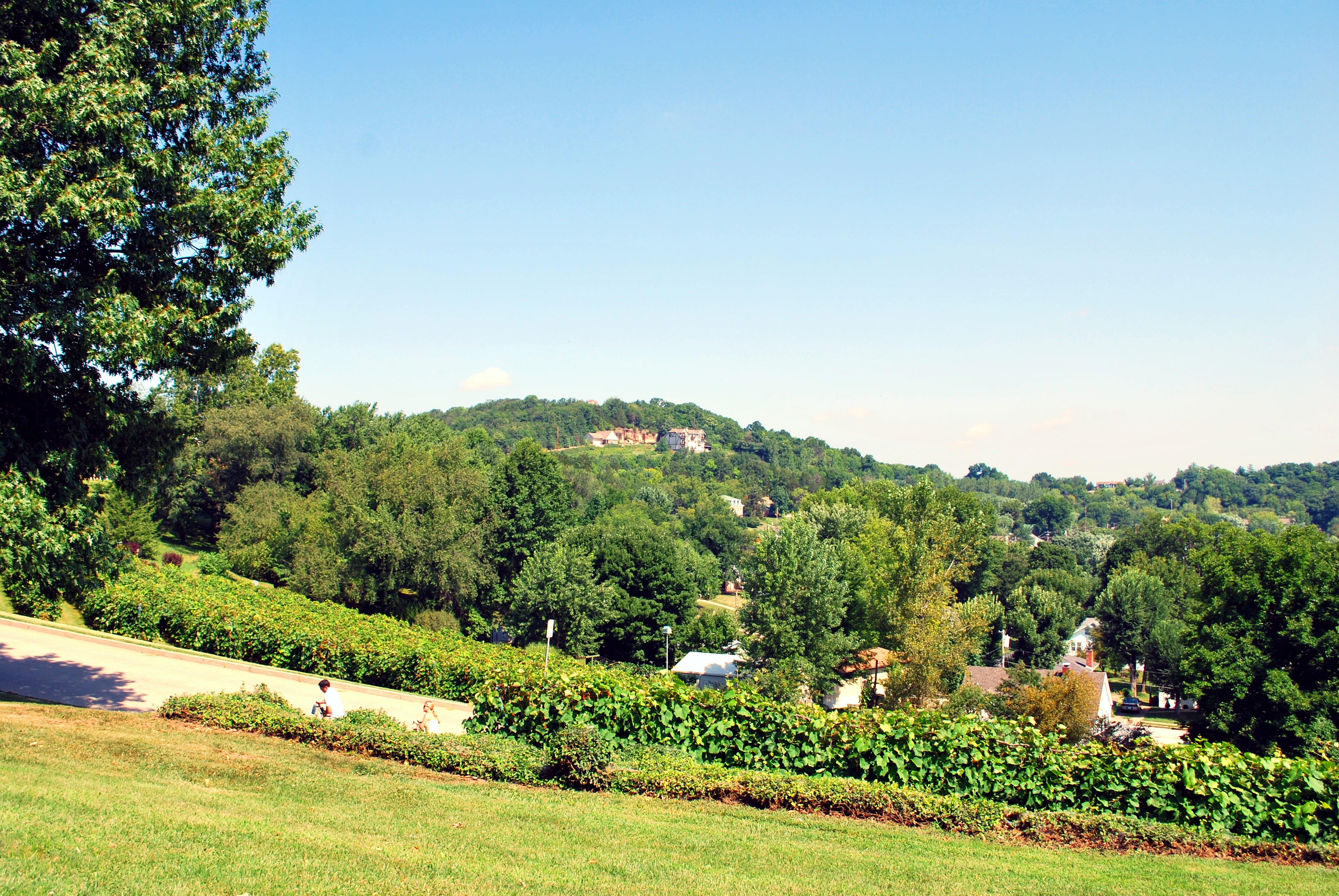
View of Hermann from Stone Hill Winery
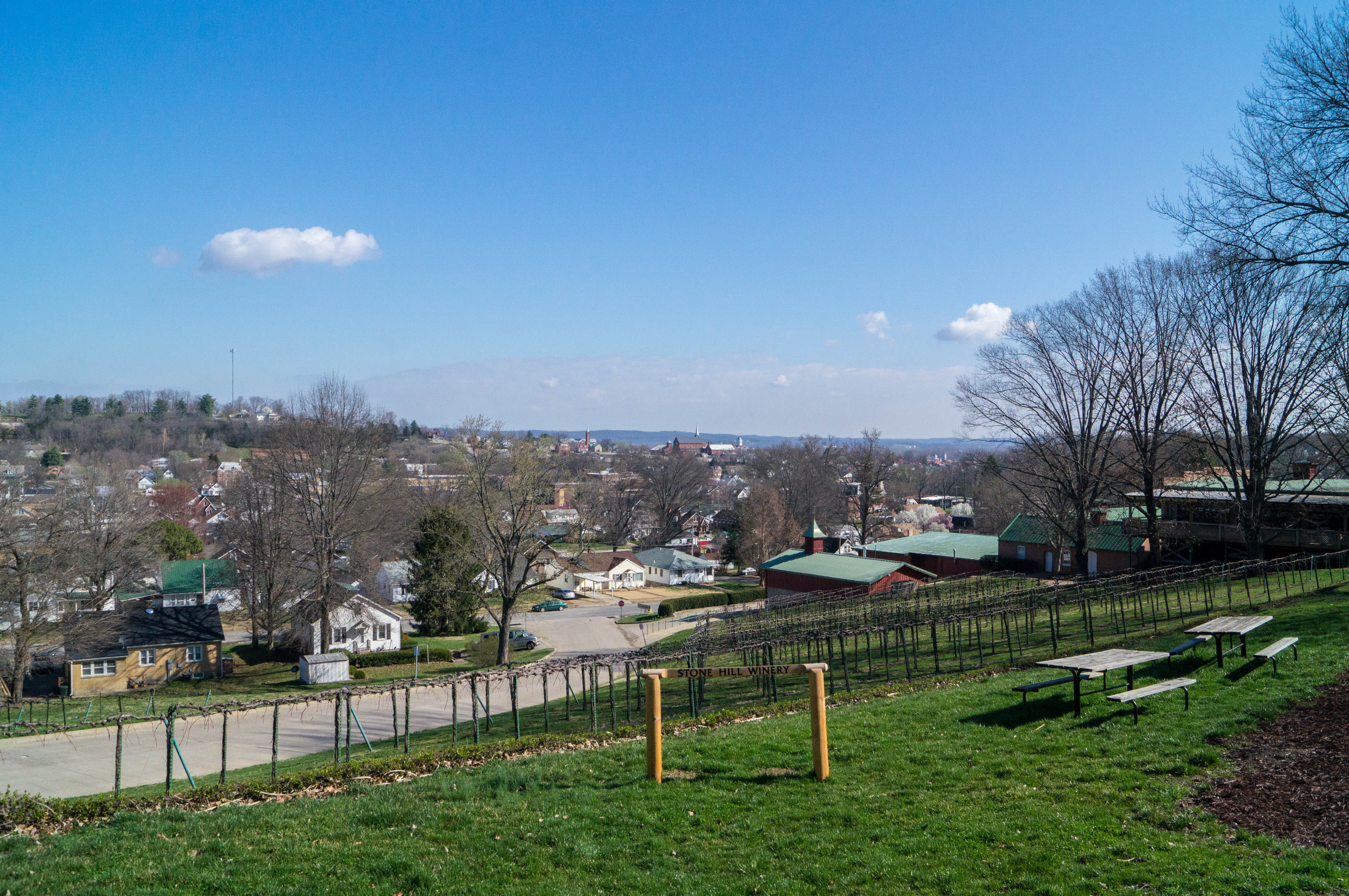
View of Hermann from Stone Hill Winery

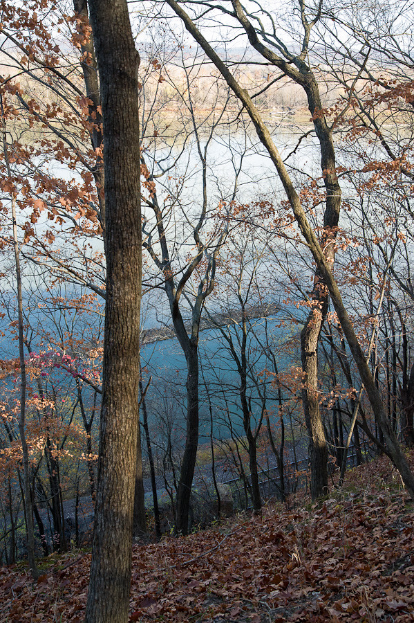
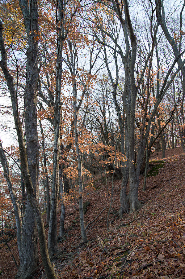
Farmland IR 11.12.2006

Stone Hill was open on July 4th. I was surprised that they'd be open, but when the shock faded, I recovered quickly enough to buy wine and to admire the view.
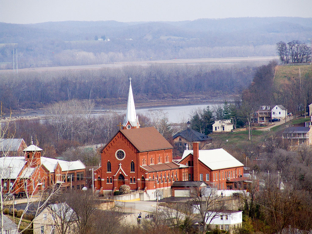
Saint George Catholic Church, in Hermann, Missouri - view from a distance 1.jpg

Saint George Catholic Church, in Hermann, Missouri - view from a distance 2.jpg
Hermann, 21 May 2005 (1)
Hermann-100

Stone Hill Winery, Hermann
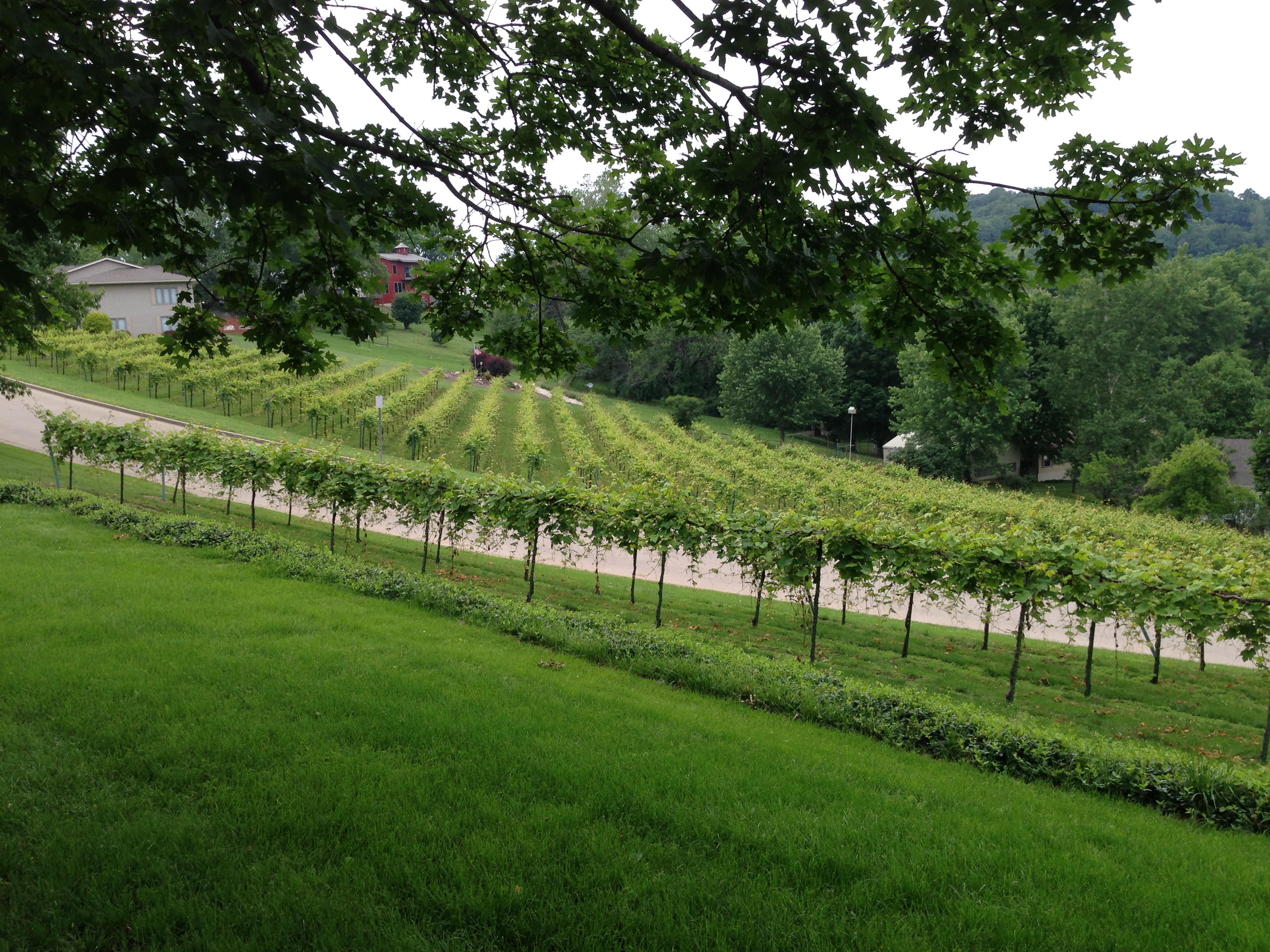
Stone Hill Vineyards, Hermann MO
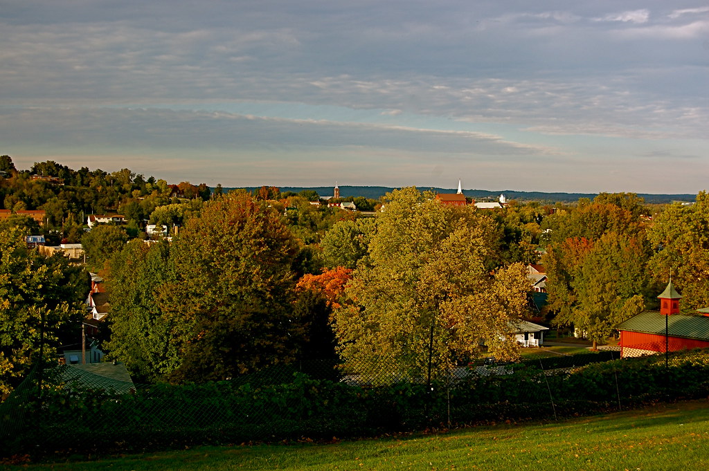
Sleepy Hermann, Missouri
Hermann-099
Hermann, MO
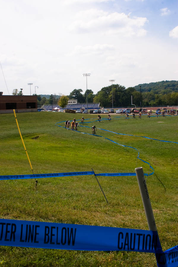
Bearcat Cross
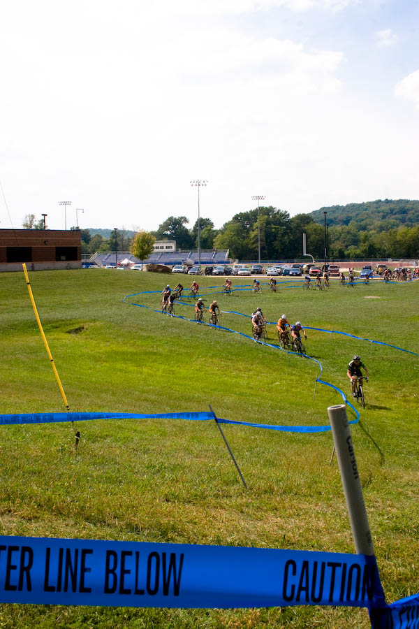
Bearcat Cross
NTD 2012
Topographic Map of MO-19, Hermann, MO, USA
Find elevation by address:

Places near MO-19, Hermann, MO, USA:
Roark Township
1164 Lovers Ln
Richland Township
Gasconade County
1116 Washington St
1116 Washington St
Hermann
Pershing Rd, Morrison, MO, USA
4 Schiller St
Rhineland
1683 Tschappler Rd
Third Creek Township
Canaan Township
Morrison
Bluffton
Owensville
Loutre Township
102 E Oak Ln
202 L And D Dr
MO-19, New Florence, MO, USA
Recent Searches:
- Elevation of Corso Fratelli Cairoli, 35, Macerata MC, Italy
- Elevation of Tallevast Rd, Sarasota, FL, USA
- Elevation of 4th St E, Sonoma, CA, USA
- Elevation of Black Hollow Rd, Pennsdale, PA, USA
- Elevation of Oakland Ave, Williamsport, PA, USA
- Elevation of Pedrógão Grande, Portugal
- Elevation of Klee Dr, Martinsburg, WV, USA
- Elevation of Via Roma, Pieranica CR, Italy
- Elevation of Tavkvetili Mountain, Georgia
- Elevation of Hartfords Bluff Cir, Mt Pleasant, SC, USA