Elevation of Richford, WI, USA
Location: United States > Wisconsin > Waushara County >
Longitude: -89.417464
Latitude: 44.0374756
Elevation: 300m / 984feet
Barometric Pressure: 98KPa
Elevation Map:
Satellite Map:
Related Photos:


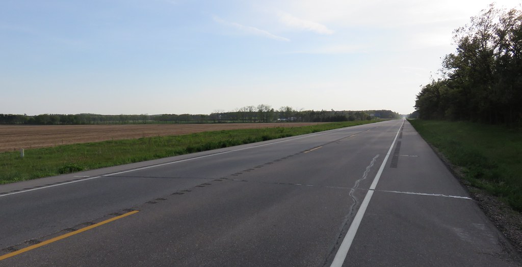
14. see the forest for the trees

Fish Lake Reflections

Picnic Area At The Interstate 39 Northbound Rest Area.
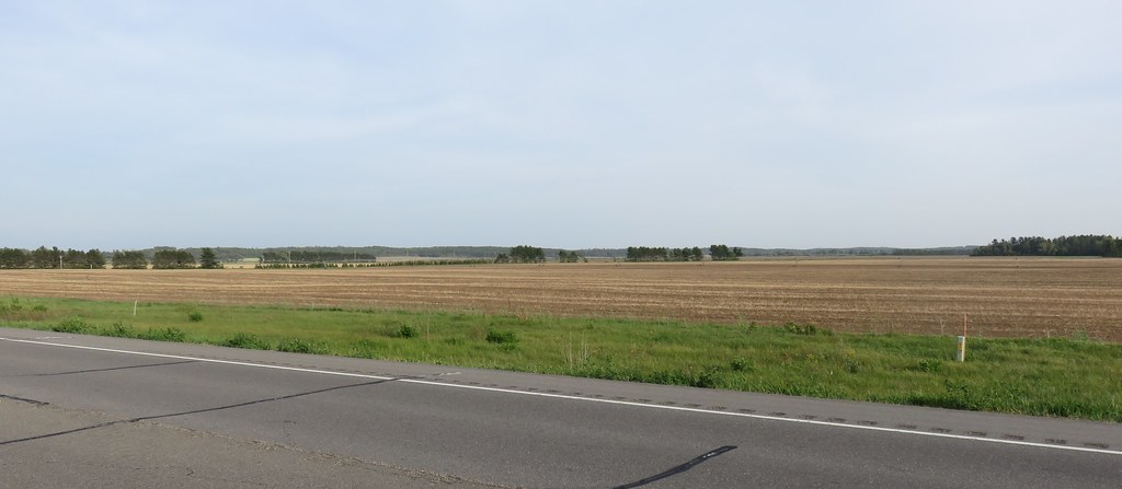
Central Wisconsin Landscape (Adams County, Wisconsin)

20160702 - Summer Wisconsin - 153 - 190.jpg
Central Wisconsin Landscape (Adams County, Wisconsin)

06-03-2016 Ride Rustic Road R102

06-03-2016 Ride Rustic Road R102

Wisconsin Wetland

photo.JPG

_MG_2991.JPG
Topographic Map of Richford, WI, USA
Find elevation by address:

Places in Richford, WI, USA:
Places near Richford, WI, USA:
Richford
N1211
Wautoma
Oasis
11917 Aniwa Rd
N5987 15th Ave
3995 Elk Ave
Rose
Plainfield
Marquette County
Wild Rose
Main St, Almond, WI, USA
Almond
Shields
Ember Avenue
Waushara County
N4686
3rd Ave, Plainfield, WI, USA
4035 Co Rd Zz
4035 Co Rd Zz
Recent Searches:
- Elevation of Corso Fratelli Cairoli, 35, Macerata MC, Italy
- Elevation of Tallevast Rd, Sarasota, FL, USA
- Elevation of 4th St E, Sonoma, CA, USA
- Elevation of Black Hollow Rd, Pennsdale, PA, USA
- Elevation of Oakland Ave, Williamsport, PA, USA
- Elevation of Pedrógão Grande, Portugal
- Elevation of Klee Dr, Martinsburg, WV, USA
- Elevation of Via Roma, Pieranica CR, Italy
- Elevation of Tavkvetili Mountain, Georgia
- Elevation of Hartfords Bluff Cir, Mt Pleasant, SC, USA