Elevation of Rhodelia Rd, Payneville, KY, USA
Location: United States > Kentucky > Meade County > Payneville >
Longitude: -86.371835
Latitude: 38.033391
Elevation: 217m / 712feet
Barometric Pressure: 99KPa
Elevation Map:
Satellite Map:
Related Photos:

Fancy Ironwork
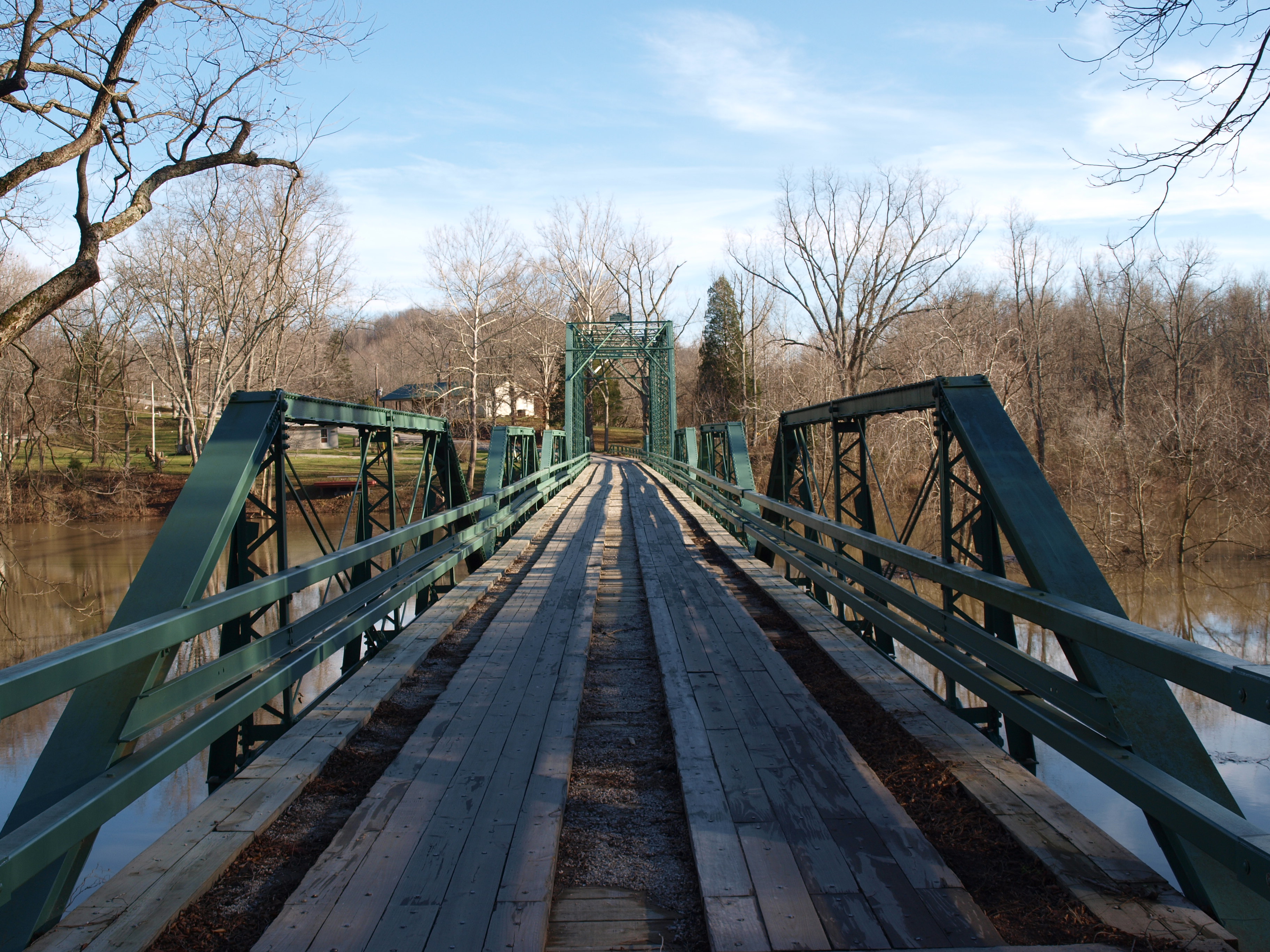
Alton Bridge barrel view, Crawford County, IN
deck view

View From The Grave.
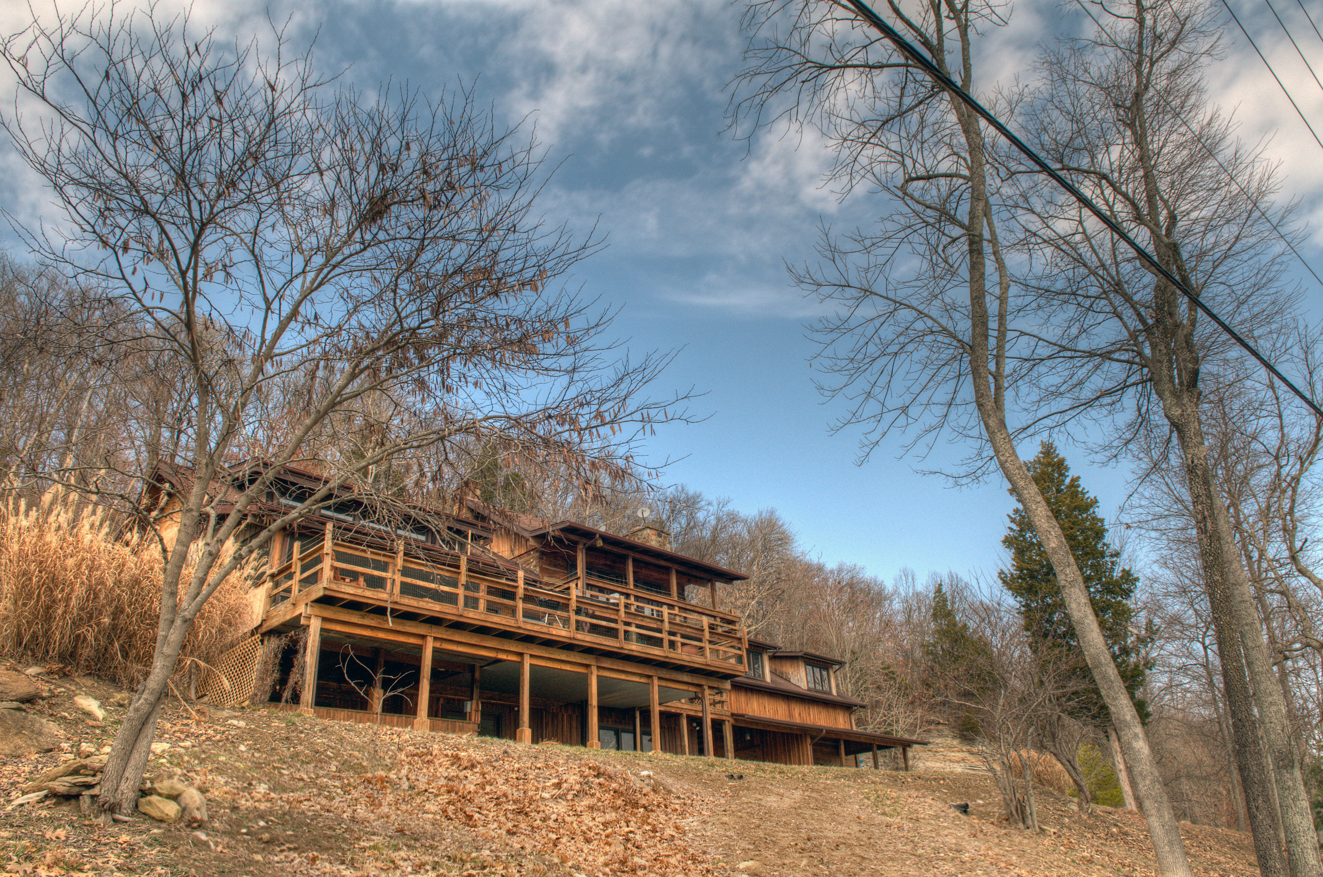
Picture Window

Orchard in the sun

69/365

50/365

67/365

Winter Sunset KY 2

Sunset 12/8 Ky

29/365

27/365

7/365

Winter Sunset

20/365

10/365

The Iron Mountain Road..

87j094: Dakota Storm

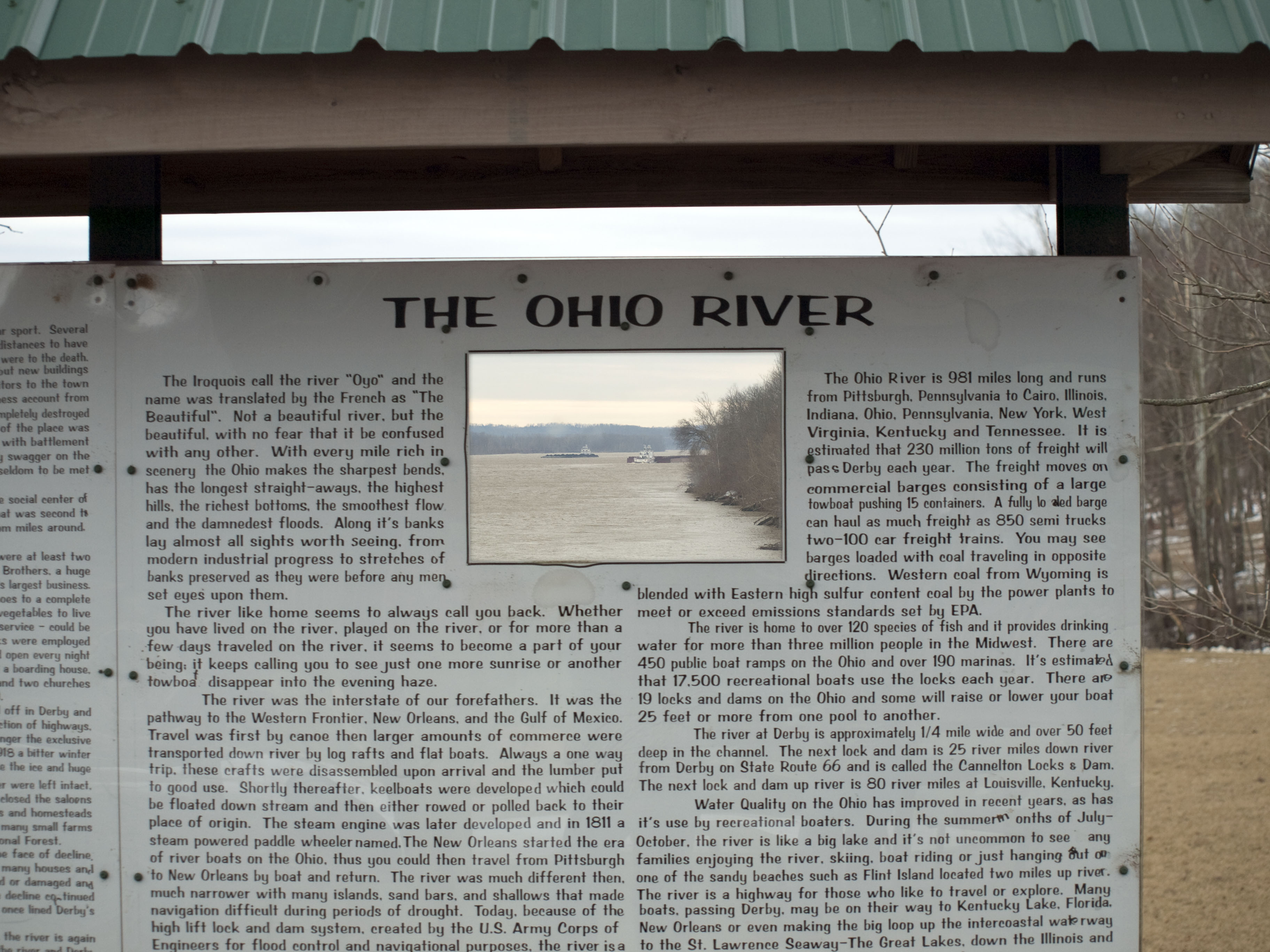
down by the river

cloud mirror

Matthew E. Welsh Bridge

sunrise over the ohio river

Matthew E. Welsh Bridge

Mystic Dock
Topographic Map of Rhodelia Rd, Payneville, KY, USA
Find elevation by address:

Places near Rhodelia Rd, Payneville, KY, USA:
Rhodes Rd, Rhodelia, KY, USA
Rhodelia
Payneville
Unison Rd, Cannelton, IN, USA
4205 Old Sirocco Rd
Battletown
Alton
N Oak St, Leavenworth, IN, USA
Magnet
2663 E Archibald Falls Rd
Union Township
6663 E Archibald Falls Rd
New Amsterdam
Lodge At Buzzard Roost
Boone Township
Chenault Rd, Stephensport, KY, USA
8490 Big Bend Rd
Buzzard Roost Lookout Tower
Ohio Township
E McClure Rd, Leavenworth, IN, USA
Recent Searches:
- Elevation of Corso Fratelli Cairoli, 35, Macerata MC, Italy
- Elevation of Tallevast Rd, Sarasota, FL, USA
- Elevation of 4th St E, Sonoma, CA, USA
- Elevation of Black Hollow Rd, Pennsdale, PA, USA
- Elevation of Oakland Ave, Williamsport, PA, USA
- Elevation of Pedrógão Grande, Portugal
- Elevation of Klee Dr, Martinsburg, WV, USA
- Elevation of Via Roma, Pieranica CR, Italy
- Elevation of Tavkvetili Mountain, Georgia
- Elevation of Hartfords Bluff Cir, Mt Pleasant, SC, USA