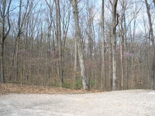
Elevation of Rhodelia, KY, USA
Location: United States > Kentucky > Breckinridge County >
Longitude: -86.420532
Latitude: 38.0070092
Elevation: 196m / 643feet
Barometric Pressure: 99KPa
Related Photos:
Topographic Map of Rhodelia, KY, USA
Find elevation by address:

Places in Rhodelia, KY, USA:
Places near Rhodelia, KY, USA:
Rhodes Rd, Rhodelia, KY, USA
Rhodelia Rd, Payneville, KY, USA
Unison Rd, Cannelton, IN, USA
Chenault Rd, Stephensport, KY, USA
Union Township
Magnet
Lodge At Buzzard Roost
Payneville
Alton
N Oak St, Leavenworth, IN, USA
4205 Old Sirocco Rd
Buzzard Roost Lookout Tower
2663 E Archibald Falls Rd
Battletown
Boone Township
6663 E Archibald Falls Rd
Ohio Township
S Vetters Rd, Leavenworth, IN, USA
8490 Big Bend Rd
New Amsterdam
Recent Searches:
- Elevation of Corso Fratelli Cairoli, 35, Macerata MC, Italy
- Elevation of Tallevast Rd, Sarasota, FL, USA
- Elevation of 4th St E, Sonoma, CA, USA
- Elevation of Black Hollow Rd, Pennsdale, PA, USA
- Elevation of Oakland Ave, Williamsport, PA, USA
- Elevation of Pedrógão Grande, Portugal
- Elevation of Klee Dr, Martinsburg, WV, USA
- Elevation of Via Roma, Pieranica CR, Italy
- Elevation of Tavkvetili Mountain, Georgia
- Elevation of Hartfords Bluff Cir, Mt Pleasant, SC, USA
