Elevation of Resv Hwy 70, Naytahwaush, MN, USA
Location: United States > Minnesota > Mahnomen County >
Longitude: -95.625437
Latitude: 47.2625037
Elevation: 451m / 1480feet
Barometric Pressure: 96KPa
Elevation Map:
Satellite Map:
Related Photos:
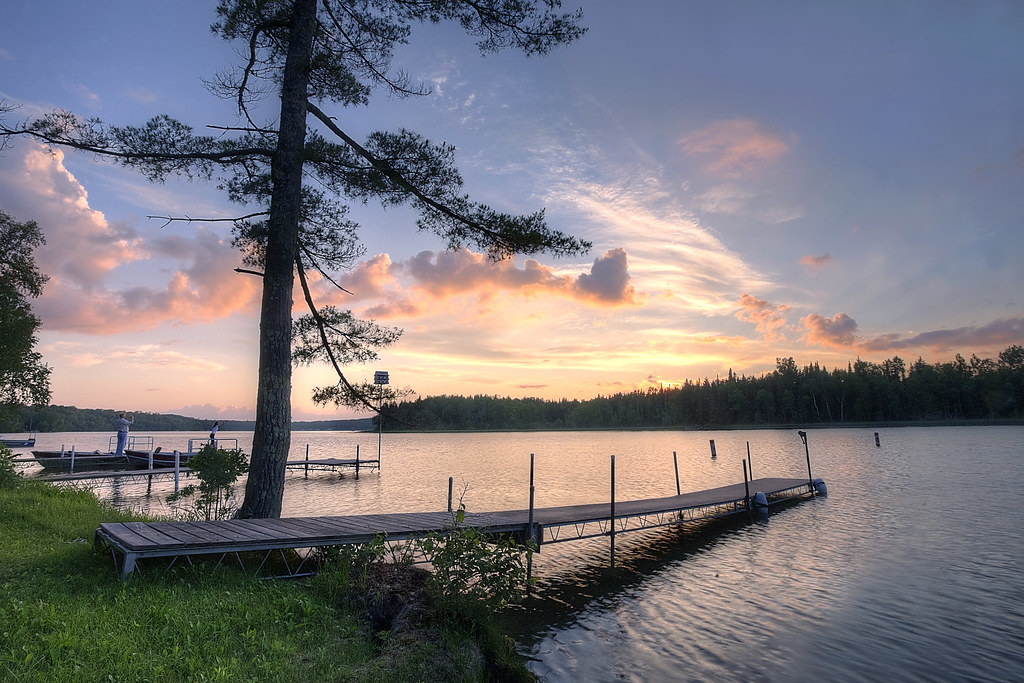
Sunset on the Lake

St. Frances Cabrini church

St. Frances Cabrini church

Fungus in the woods

Elbow Lake
Topographic Map of Resv Hwy 70, Naytahwaush, MN, USA
Find elevation by address:

Places near Resv Hwy 70, Naytahwaush, MN, USA:
Snider Lake
Oakland Township
Beaulieu Township
White Earth Reservation
Co Rd 3, Mahnomen, MN, USA
Mahnomen County
1st St S, Lengby, MN, USA
White Earth Township
White Earth
Co Rd, Lake Park, MN, USA
Pleasant Ave, Waubun, MN, USA
Waubun
Fosston
S Johnson Ave, Fosston, MN, USA
County Rd 34, Ogema, MN, USA
123 N Main St
Becker County
Hanson Lake Road
10 Wisconsin St, Callaway, MN, USA
Callaway
Recent Searches:
- Elevation of Corso Fratelli Cairoli, 35, Macerata MC, Italy
- Elevation of Tallevast Rd, Sarasota, FL, USA
- Elevation of 4th St E, Sonoma, CA, USA
- Elevation of Black Hollow Rd, Pennsdale, PA, USA
- Elevation of Oakland Ave, Williamsport, PA, USA
- Elevation of Pedrógão Grande, Portugal
- Elevation of Klee Dr, Martinsburg, WV, USA
- Elevation of Via Roma, Pieranica CR, Italy
- Elevation of Tavkvetili Mountain, Georgia
- Elevation of Hartfords Bluff Cir, Mt Pleasant, SC, USA