Elevation of N Main St, Mahnomen, MN, USA
Location: United States > Minnesota > Mahnomen County >
Longitude: -95.968924
Latitude: 47.3161033
Elevation: 368m / 1207feet
Barometric Pressure: 97KPa
Elevation Map:
Satellite Map:
Related Photos:
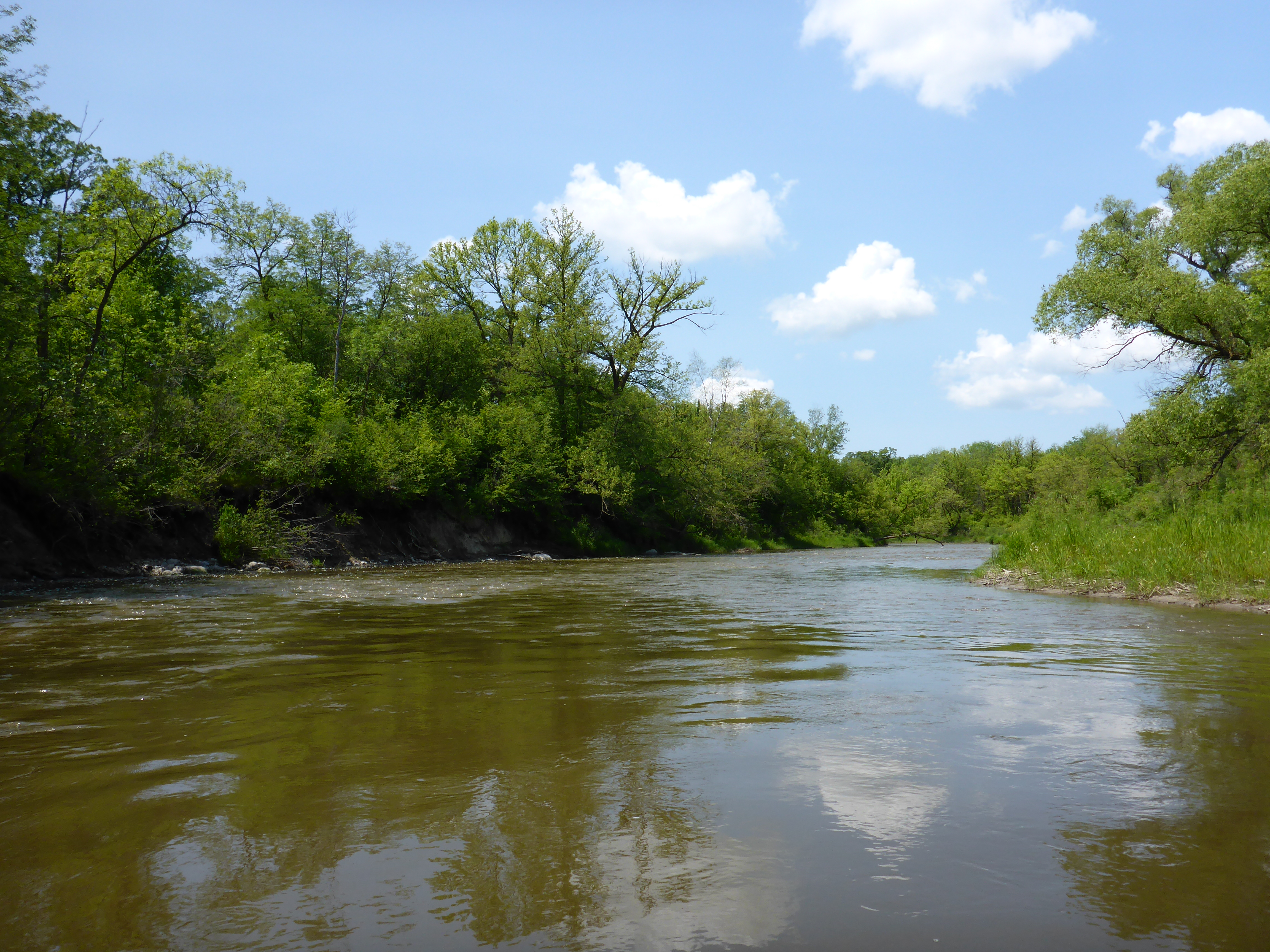
P1020805

P1020798

P1020832

P1020816

P1020815

P1020818

P1020822

P1020829

P1020836

P1020851

P1020855
Topographic Map of N Main St, Mahnomen, MN, USA
Find elevation by address:

Places near N Main St, Mahnomen, MN, USA:
Waubun
Pleasant Ave, Waubun, MN, USA
Co Rd 3, Mahnomen, MN, USA
Mahnomen County
White Earth Reservation
County Rd 34, Ogema, MN, USA
White Earth Township
Beaulieu Township
White Earth
Co Rd, Lake Park, MN, USA
Oakland Township
37669 Us-59
Atlanta Township
Snider Lake
Mcintosh
13489 310 St
10 Wisconsin St, Callaway, MN, USA
Fosston
Callaway
S Johnson Ave, Fosston, MN, USA
Recent Searches:
- Elevation of Corso Fratelli Cairoli, 35, Macerata MC, Italy
- Elevation of Tallevast Rd, Sarasota, FL, USA
- Elevation of 4th St E, Sonoma, CA, USA
- Elevation of Black Hollow Rd, Pennsdale, PA, USA
- Elevation of Oakland Ave, Williamsport, PA, USA
- Elevation of Pedrógão Grande, Portugal
- Elevation of Klee Dr, Martinsburg, WV, USA
- Elevation of Via Roma, Pieranica CR, Italy
- Elevation of Tavkvetili Mountain, Georgia
- Elevation of Hartfords Bluff Cir, Mt Pleasant, SC, USA