Elevation of Reservoir Rd, North Adams, MA, USA
Location: United States > Massachusetts > Berkshire County > North Adams >
Longitude: -73.1210362
Latitude: 42.6914963
Elevation: 329m / 1079feet
Barometric Pressure: 0KPa
Related Photos:

Berkshire Blues

Twin Cascade #4

A distant View of Mount Greylock

Blue Minor - For my friend rickhanger

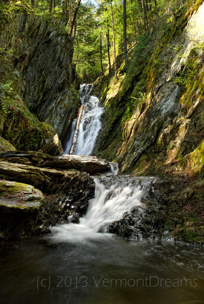
Twin Cascade 1

On top of the world

Playing in the Snow

Memorial Tower

Greener Pastures

Dice on the Mirror

Mt Greylock_DSC0672

Stone Hill Center, Tadao Ando, architect

Stone Hill Center, Tadao Ando, architect

View from Whitcomb Summit

North Adams, Massachusetts

Layered Tubes, North Adams MA

North Adams Views

Chairs with a view of Mt Greylock from Adams, MA

Sepia Saturation

Bascom Lodge, Full 360'deg View.

towards Vermont

Upstream from Parker Brook Falls, MA
Parker Brook Falls - Savoy, Massachusetts

Farm Road

FullSizeRender 2

another stream long exposure

_DSC9808.jpg

#berkshires #bigsky #bluesky #blueskies #massachusetts #newengland #williamstown #landscape #landscape_captures #landscapephotography #nature #naturephotography #naturelovers #spring

The Berkshire Hills
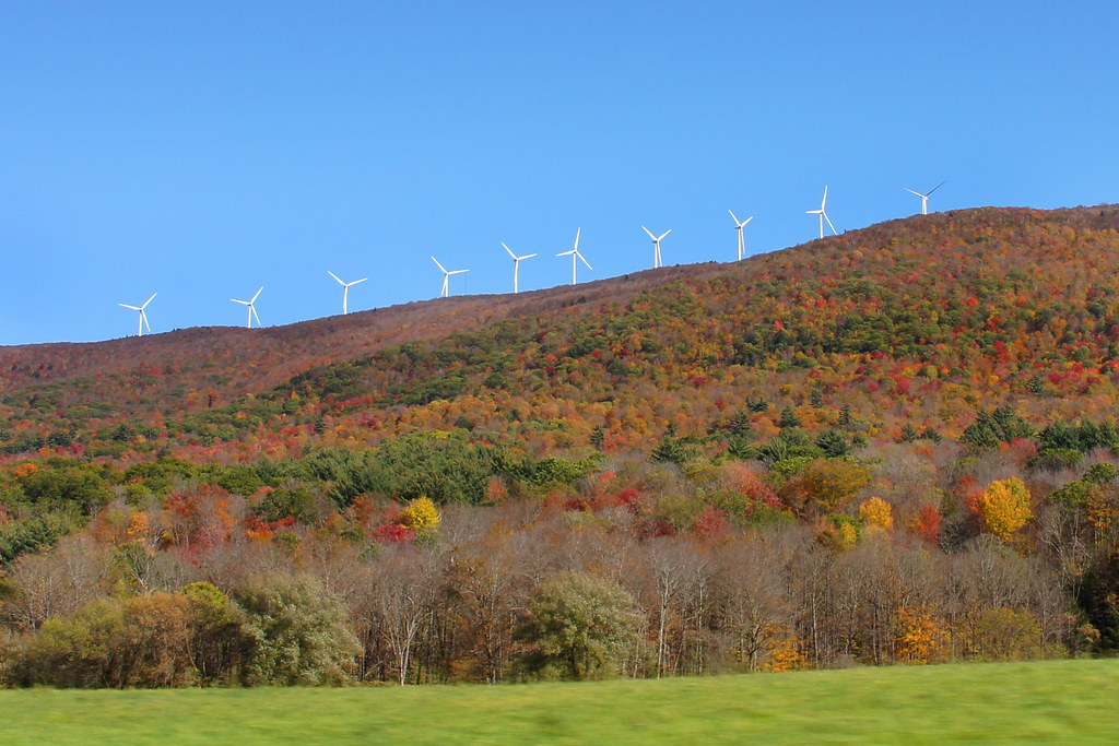
Wind Turbines in the Berkshires-Mass 04680

Morning at the summit

2011 Out-takes #5/6

#berkshires #newengland #williamstown #naturephotography #nature #landscape #landscapephotography #landscape_captures #landscape_lovers #beauty #fujifilm #fujifilm_xseries #acros #massachusetts #spring

IMG_7991_2_3_tonemapped_edited-JMP

#berkshires #newengland #williamstown #naturephotography #nature #landscape #landscapephotography #landscape_captures #landscape_lovers #beauty #fujifilm #fujifilm_xseries #acros #massachusetts #spring

Route 2, Eastern Summit

BLUE SKY

Route 2, Western Summit
Topographic Map of Reservoir Rd, North Adams, MA, USA
Find elevation by address:

Places near Reservoir Rd, North Adams, MA, USA:
21 Houghton St
100 Houghton St
50 Sperry Ave, North Adams, MA, USA
200 Houghton St
North Adams
Ashland Street
45 River St
261 Houghton St
65 Brooklyn St
Summit Avenue
111 Charlene St
3 Seneca Dr
3 Seneca Dr
13 Hughes St
2130 Mohawk Trail
16 Mohawk Trail
Adams
Strykers Road
Adams
Adams
Recent Searches:
- Elevation of Pasing, Munich, Bavaria, 81241, Germany
- Elevation of 24, Auburn Bay Crescent SE, Auburn Bay, Calgary, Alberta, T3M 0A6, Canada
- Elevation of Denver, 2314, Arapahoe Street, Five Points, Denver, Colorado, 80205, USA
- Elevation of Community of the Beatitudes, 2924, West 43rd Avenue, Sunnyside, Denver, Colorado, 80211, USA
- Elevation map of Litang County, Sichuan, China
- Elevation map of Madoi County, Qinghai, China
- Elevation of 3314, Ohio State Route 114, Payne, Paulding County, Ohio, 45880, USA
- Elevation of Sarahills Drive, Saratoga, Santa Clara County, California, 95070, USA
- Elevation of Town of Bombay, Franklin County, New York, USA
- Elevation of 9, Convent Lane, Center Moriches, Suffolk County, New York, 11934, USA
- Elevation of Saint Angelas Convent, 9, Convent Lane, Center Moriches, Suffolk County, New York, 11934, USA
- Elevation of 131st Street Southwest, Mukilteo, Snohomish County, Washington, 98275, USA
- Elevation of 304, Harrison Road, Naples, Cumberland County, Maine, 04055, USA
- Elevation of 2362, Timber Ridge Road, Harrisburg, Cabarrus County, North Carolina, 28075, USA
- Elevation of Ridge Road, Marshalltown, Marshall County, Iowa, 50158, USA
- Elevation of 2459, Misty Shadows Drive, Pigeon Forge, Sevier County, Tennessee, 37862, USA
- Elevation of 8043, Brightwater Way, Spring Hill, Williamson County, Tennessee, 37179, USA
- Elevation of Starkweather Road, San Luis, Costilla County, Colorado, 81152, USA
- Elevation of 5277, Woodside Drive, Baton Rouge, East Baton Rouge Parish, Louisiana, 70808, USA
- Elevation of 1139, Curtin Street, Shepherd Park Plaza, Houston, Harris County, Texas, 77018, USA