Elevation map of Region Syddanmark, Denmark
Location: Denmark >
Longitude: 9.0924903
Latitude: 55.3307714
Elevation: 73m / 240feet
Barometric Pressure: 100KPa
Elevation Map:
Satellite Map:
Related Photos:
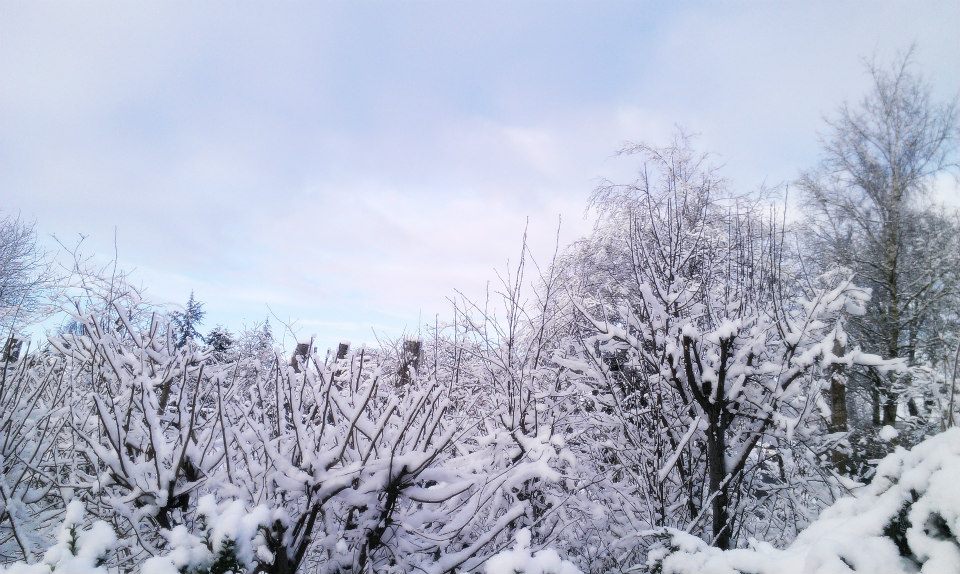
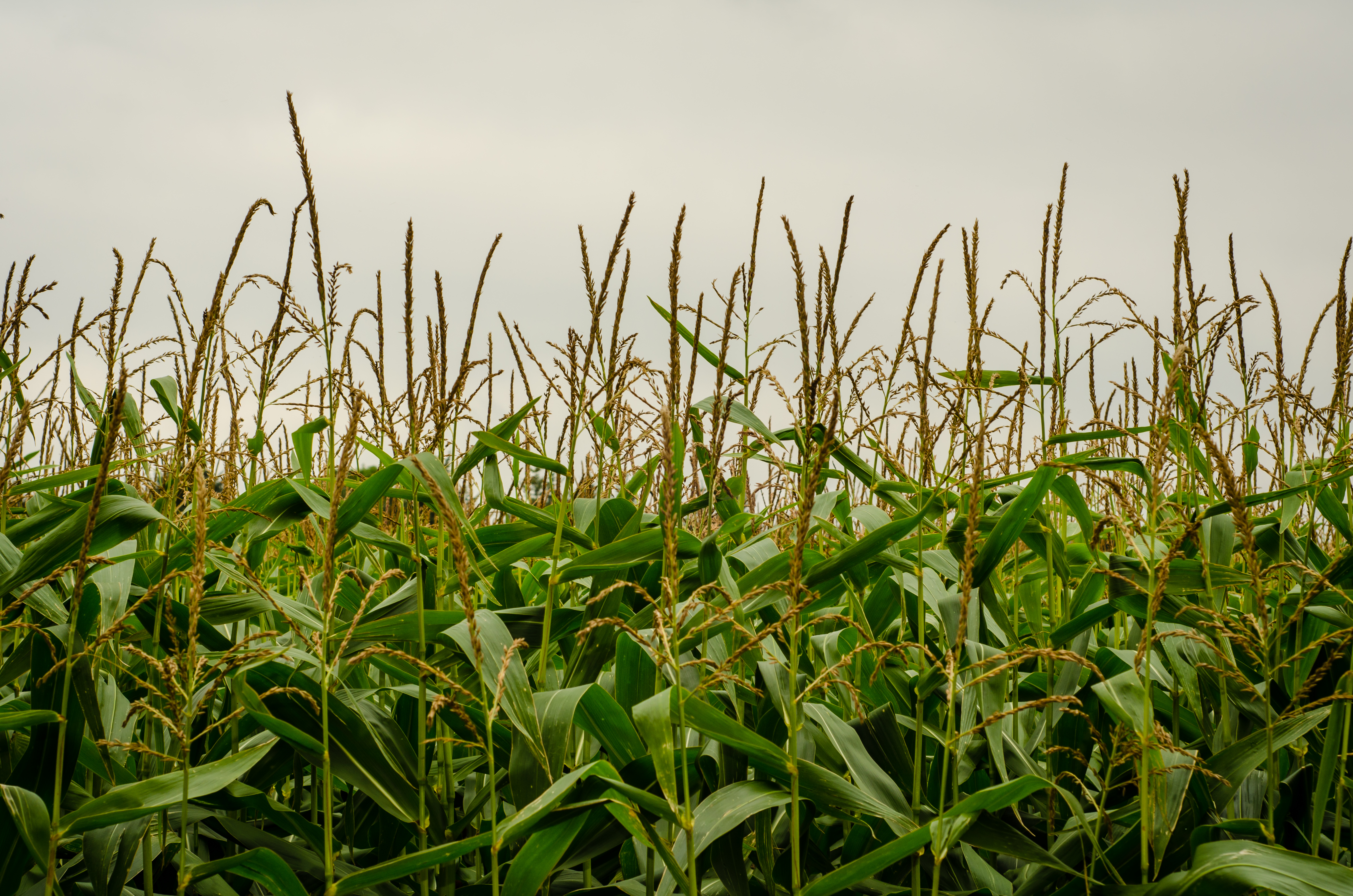
View over bushes
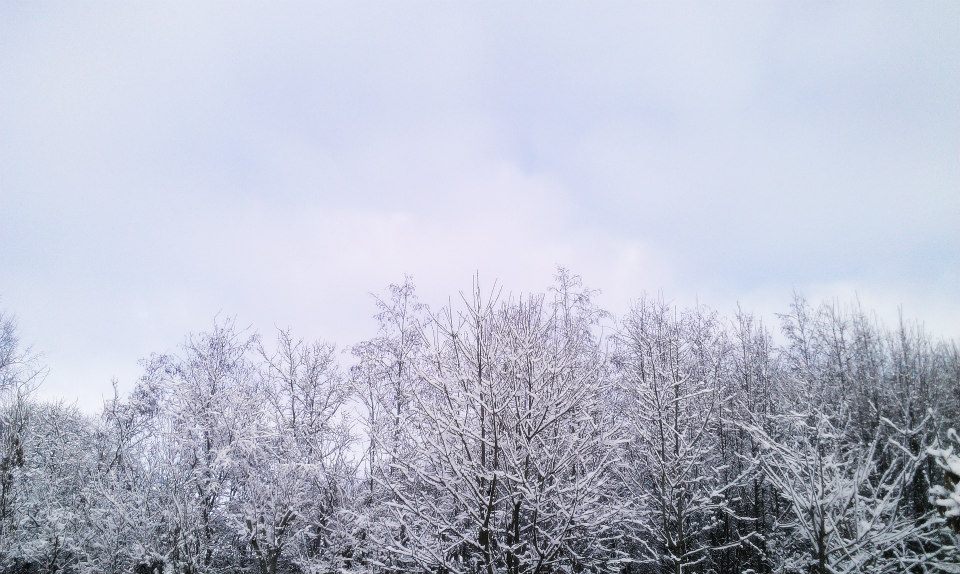
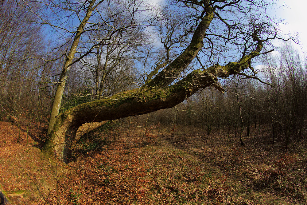
View over trees
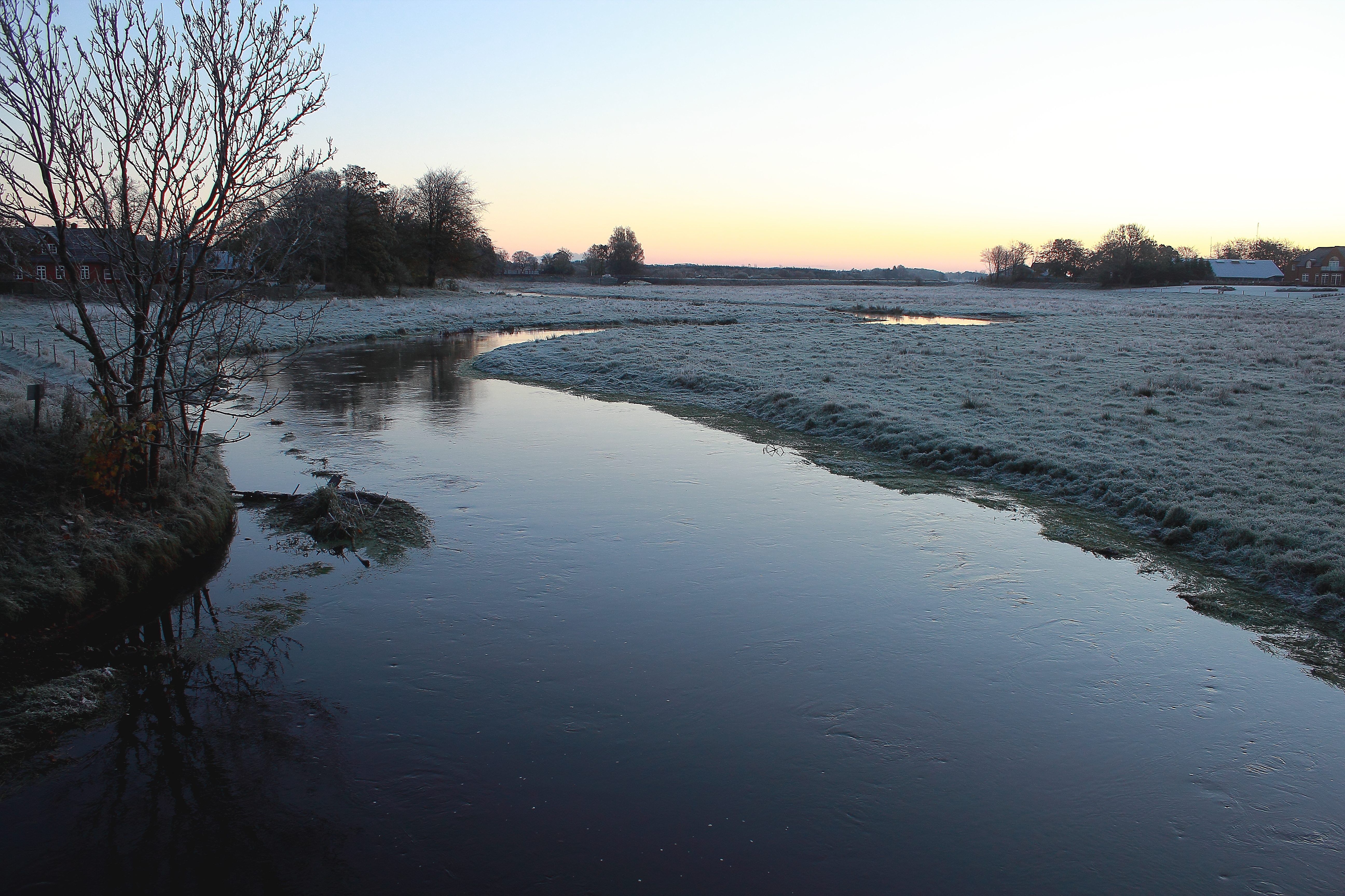
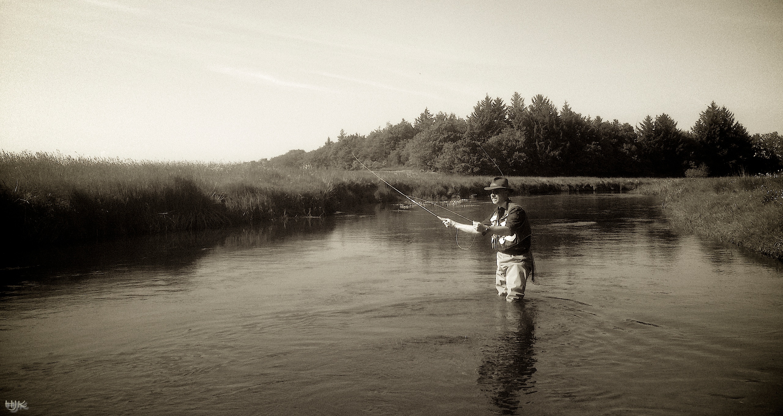
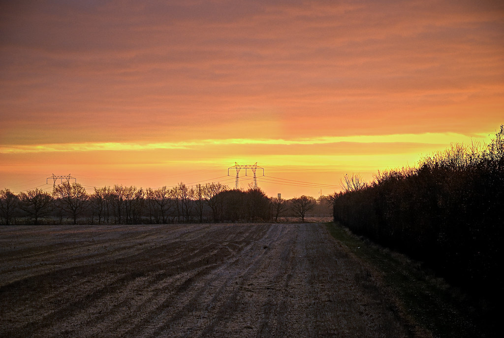
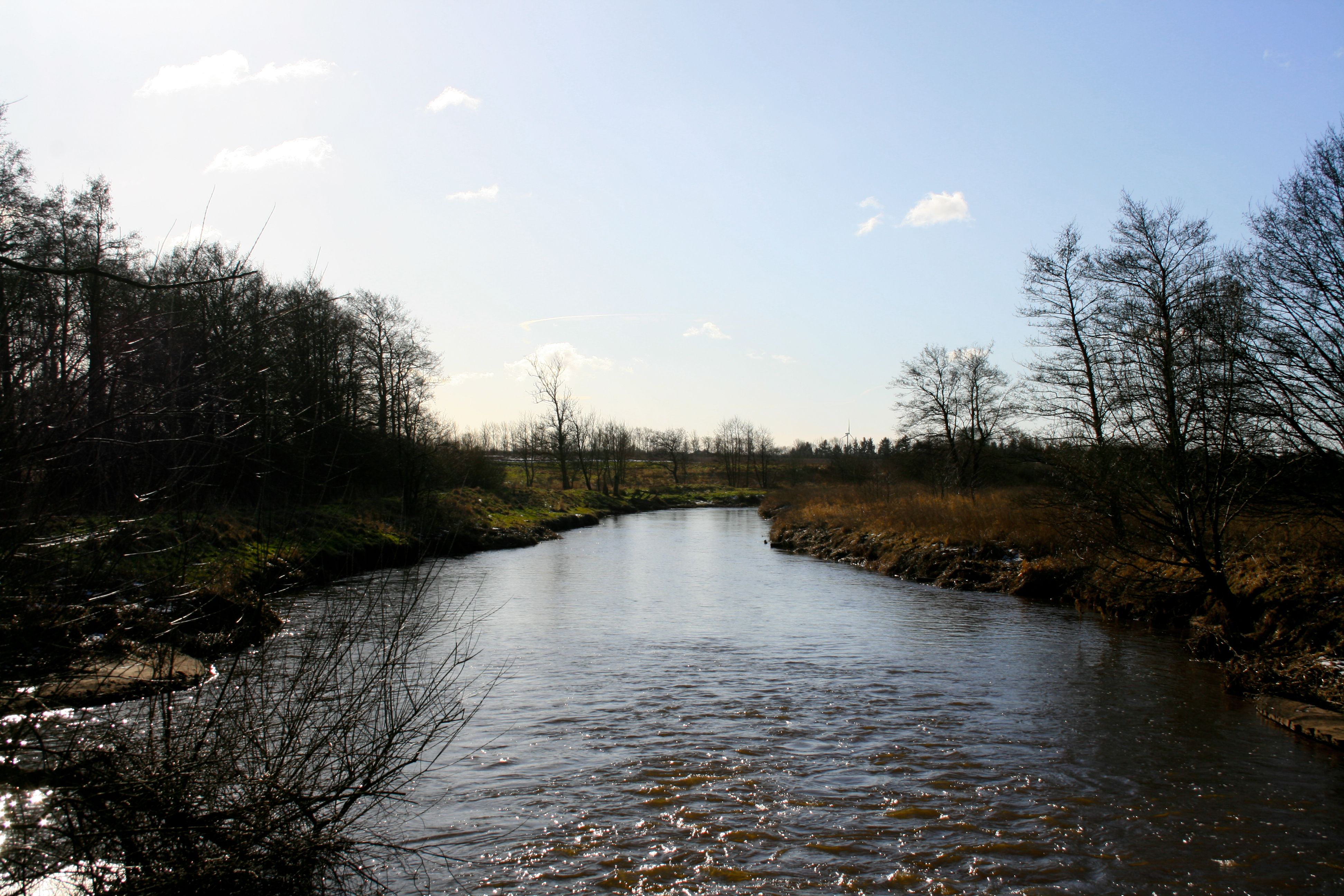
Kongeåen,--- an early wintermorning.
DSC_3761.jpg
cast away…
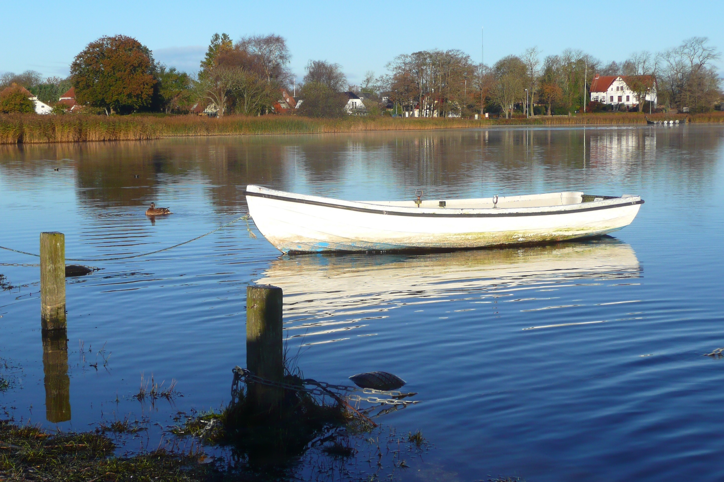
Jels lake
DSC_3750.jpg
DSC_3751.jpg
DSC_3740.jpg

Collection of Trees

27cdfde7f50a81da84fca3eeac8b152106b5988e-1333638548
Barsbøl Skov

Libellula quadrimaculata
Lundgaard, Denmark
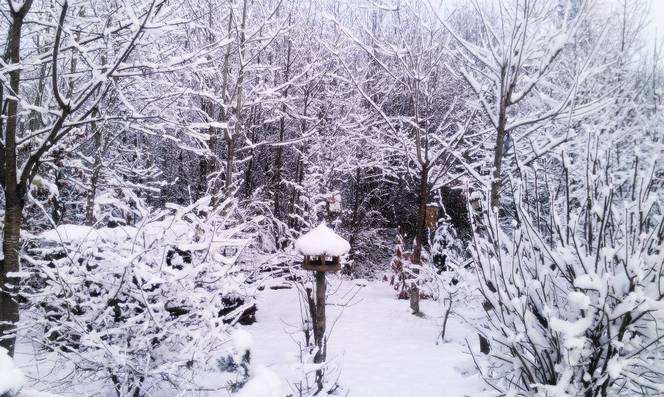
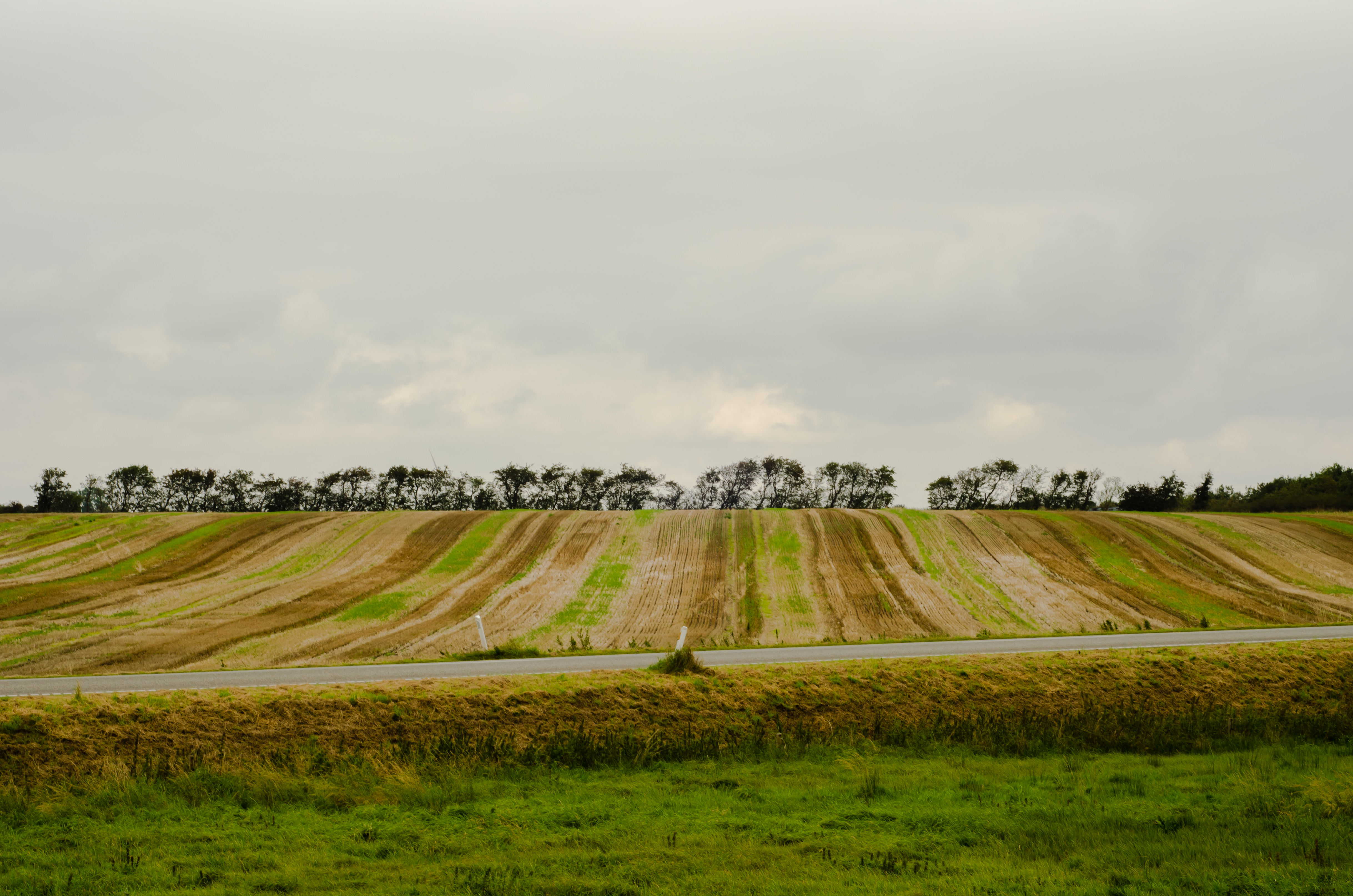
Winter landscape
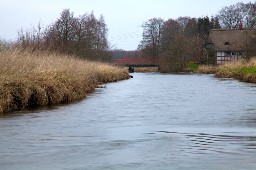
The Kings River
Sunny day in Denmark

Libellula depressa

Platycnemis pennipes
Knagmølle
Topographic Map of Region Syddanmark, Denmark
Find elevation by address:

Places in Region Syddanmark, Denmark:
Places near Region Syddanmark, Denmark:
Dalgårdsvej 359
Vojens
Vojens
Haderslev Municipality
Jutland
Esbjerg Municipality
Tønder Municipality
Egtved
Kolding Municipality
Aabenraa Municipality
Haderslevvej 7
Koldning Hypnoseklinik V/peter Olesen Sivebæk
Christiansfeld
Billund
Skovvangen 42
Hørgård 84
Hørgård 83
Kolding
Skovparken 18
Sankt Nicolai Kirke
Recent Searches:
- Elevation of Corso Fratelli Cairoli, 35, Macerata MC, Italy
- Elevation of Tallevast Rd, Sarasota, FL, USA
- Elevation of 4th St E, Sonoma, CA, USA
- Elevation of Black Hollow Rd, Pennsdale, PA, USA
- Elevation of Oakland Ave, Williamsport, PA, USA
- Elevation of Pedrógão Grande, Portugal
- Elevation of Klee Dr, Martinsburg, WV, USA
- Elevation of Via Roma, Pieranica CR, Italy
- Elevation of Tavkvetili Mountain, Georgia
- Elevation of Hartfords Bluff Cir, Mt Pleasant, SC, USA