Elevation of Haderslevvej 7, Christiansfeld, Denmark
Location: Denmark > Kolding Municipality > Christiansfeld >
Longitude: 9.484726
Latitude: 55.352468
Elevation: 17m / 56feet
Barometric Pressure: 101KPa
Elevation Map:
Satellite Map:
Related Photos:
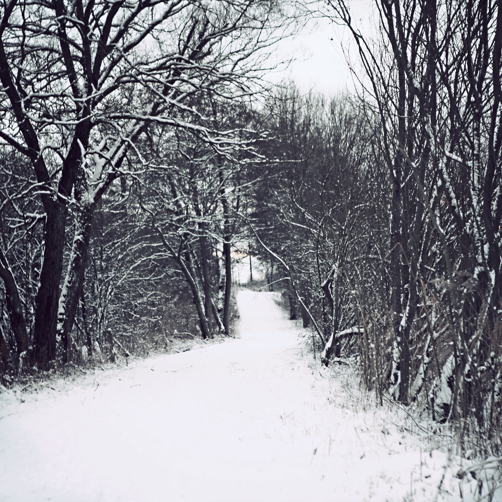
Winter Wonderland Has Returned
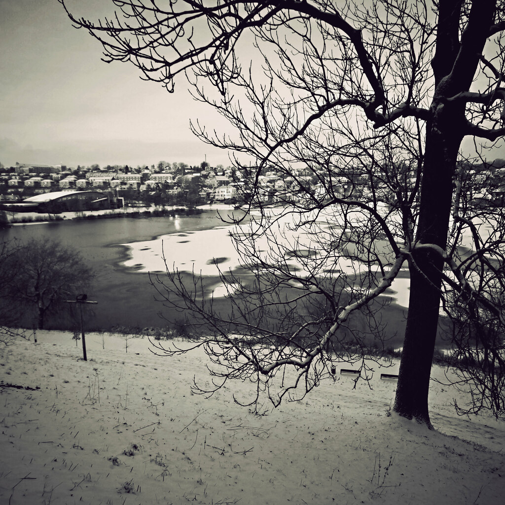
Snow At Last
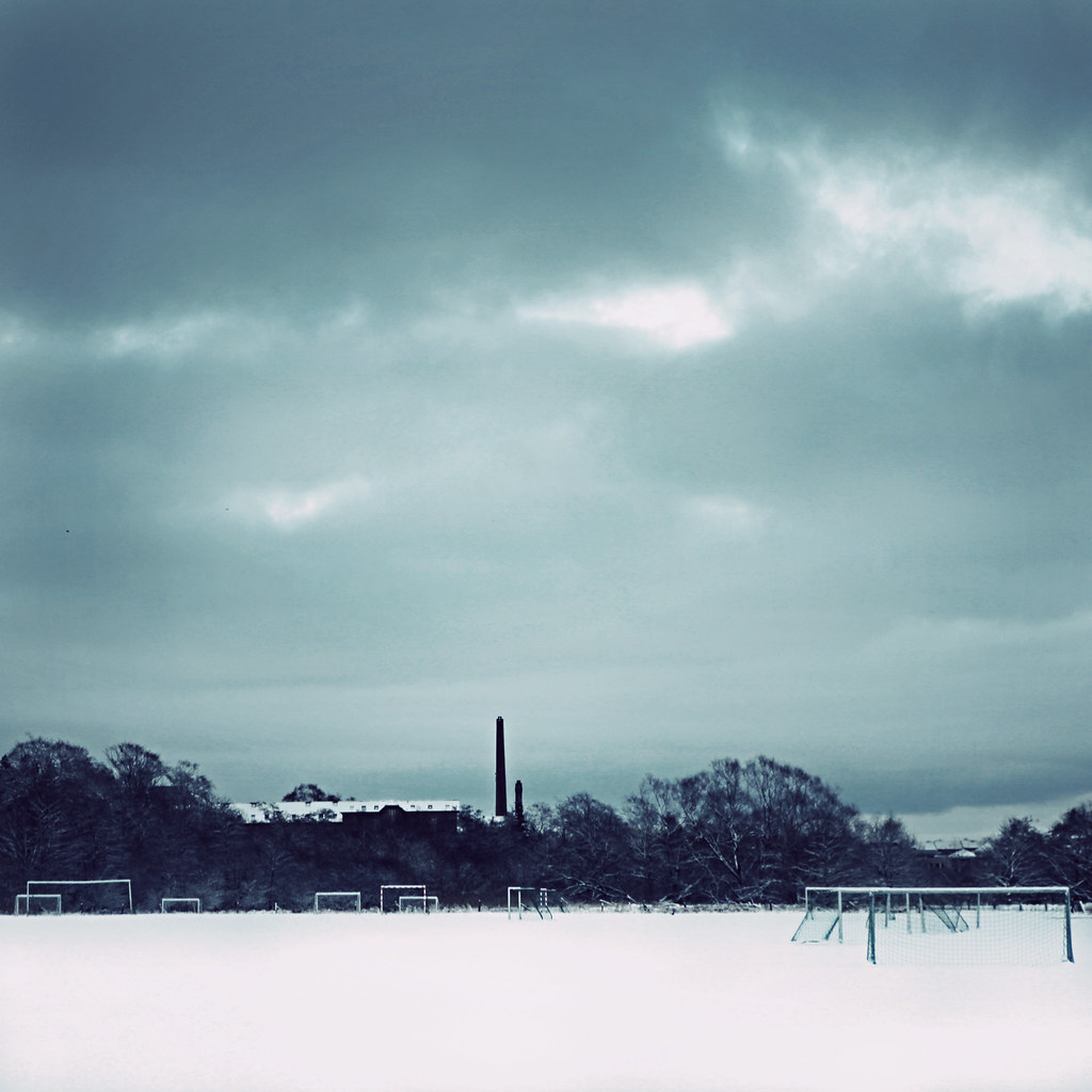
Scoring Isn't A Matter Of Talent - It's A Matter Of Placing Enough Goals On The Field
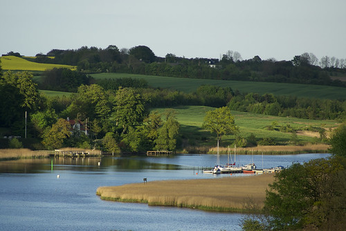
Haderslev Fjord
Topographic Map of Haderslevvej 7, Christiansfeld, Denmark
Find elevation by address:

Places near Haderslevvej 7, Christiansfeld, Denmark:
Christiansfeld
Kolding Municipality
Haderslev Municipality
Kolding
Koldning Hypnoseklinik V/peter Olesen Sivebæk
Skovparken 18
Fynsvej
Skovvangen 42
Kokbjerg 29b
Vojens
Taulov
Østergade 23b
Vojens
Fredericia Municipality
Hørgård 84
Hørgård 83
Sankt Nicolai Kirke
Egtved
Aabenraa
Fredericia
Recent Searches:
- Elevation of Corso Fratelli Cairoli, 35, Macerata MC, Italy
- Elevation of Tallevast Rd, Sarasota, FL, USA
- Elevation of 4th St E, Sonoma, CA, USA
- Elevation of Black Hollow Rd, Pennsdale, PA, USA
- Elevation of Oakland Ave, Williamsport, PA, USA
- Elevation of Pedrógão Grande, Portugal
- Elevation of Klee Dr, Martinsburg, WV, USA
- Elevation of Via Roma, Pieranica CR, Italy
- Elevation of Tavkvetili Mountain, Georgia
- Elevation of Hartfords Bluff Cir, Mt Pleasant, SC, USA