Elevation of Regidina, Ethiopia
Location: Ethiopia > Southern Nations, Nationalities, And People's Region > Alaba >
Longitude: 38.1424438
Latitude: 7.4319356
Elevation: 1890m / 6201feet
Barometric Pressure: 81KPa
Elevation Map:
Satellite Map:
Related Photos:

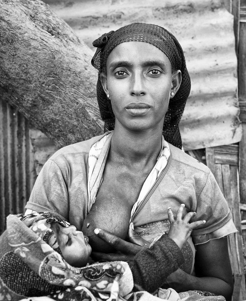
Pappa Time

Pappa Time

Pappa Time

Street scene

ethiopia - omo valley
ethiopia - omo valley

ethiopia - omo valley

Halaba Irmans

Animal Market
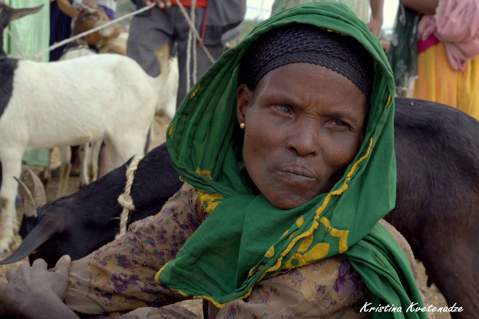
Ethiopian women on the animal market

In the village
ETP-2210-20130115.jpg

ETP-2209-20130115.jpg

ETP-2208-20130115.jpg

Street scene

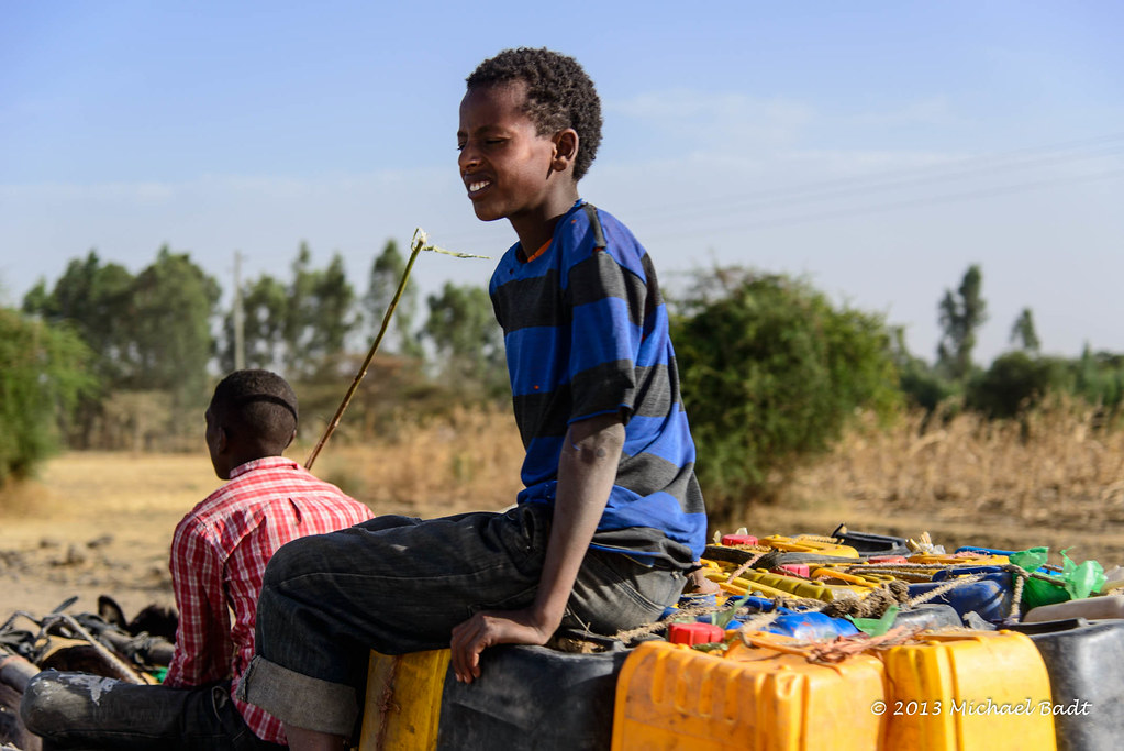
father and son

ETP-2211-20130115.jpg
Topographic Map of Regidina, Ethiopia
Find elevation by address:

Places near Regidina, Ethiopia:
Regdina
Alaba
Chitu
Sebu Seboka
East Shewa
Shala Lake
Jido
Hawassa Tabor Highschool
Awassa
Awasa Town
አርሲ ነገሌ ፡፡
Langano Lake
Tiya
Qoqa Negewo
Koka Reservoir
Recent Searches:
- Elevation of Corso Fratelli Cairoli, 35, Macerata MC, Italy
- Elevation of Tallevast Rd, Sarasota, FL, USA
- Elevation of 4th St E, Sonoma, CA, USA
- Elevation of Black Hollow Rd, Pennsdale, PA, USA
- Elevation of Oakland Ave, Williamsport, PA, USA
- Elevation of Pedrógão Grande, Portugal
- Elevation of Klee Dr, Martinsburg, WV, USA
- Elevation of Via Roma, Pieranica CR, Italy
- Elevation of Tavkvetili Mountain, Georgia
- Elevation of Hartfords Bluff Cir, Mt Pleasant, SC, USA